Carne Wood

Wood, Forest in Pembrokeshire

Wales

Carne Wood

Strydom (house) on the A4075
Strydom (house) on the A4075 Credit: Ian S

Carne Wood is a picturesque forest located in Pembrokeshire, Wales. Covering an area of approximately 100 hectares, it is renowned for its natural beauty and diverse ecosystem. The wood is situated in close proximity to the village of Carne and is easily accessible to visitors.

Carne Wood is primarily composed of native broadleaf trees, including oak, ash, and beech. These trees create a dense canopy that filters sunlight, providing a tranquil and shaded environment for both wildlife and visitors. The forest floor is blanketed with an array of wildflowers, mosses, and ferns, adding to the enchanting atmosphere.

The wood is intersected by a network of well-maintained footpaths, allowing visitors to explore the area at their leisure. These paths wind through the forest, offering glimpses of small streams and clearings along the way. The tranquil ambiance and abundance of wildlife make Carne Wood a popular destination for nature enthusiasts, birdwatchers, and photographers.

Bird species such as woodpeckers, nuthatches, and tawny owls can often be spotted within the forest, while mammals like badgers and foxes occasionally make appearances. The wood provides a vital habitat for these creatures and plays an essential role in conserving local biodiversity.

Carne Wood is not only a haven for wildlife but also offers recreational opportunities for visitors. It provides a peaceful setting for walking, jogging, and picnicking, allowing individuals to connect with nature and unwind from the pressures of daily life.

Overall, Carne Wood in Pembrokeshire is a captivating forest that showcases the natural beauty and biodiversity of the region, making it a must-visit destination for nature enthusiasts and those seeking solace in a tranquil environment.

If you have any feedback on the listing, please let us know in the comments section below.
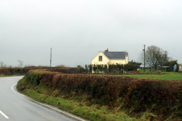
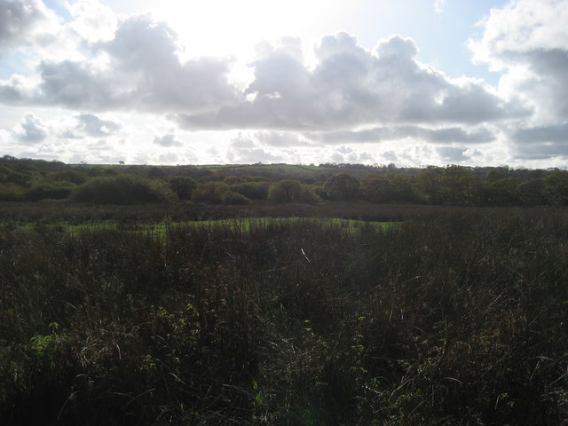
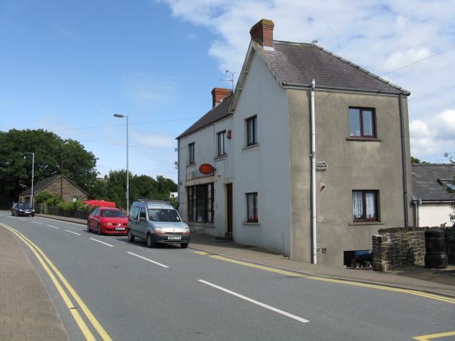
Carne Wood Images

Images are sourced within 2km of 51.751412/-4.7737374 or Grid Reference SN0809. Thanks to Geograph Open Source API. All images are credited.

Strydom (house) on the A4075
RAF Templeton Was in use from 1943 to 1945. The concentration of airfields in this area was to defend the vital oil installations at Milford Haven. This is the southern taxiing road. <a href="https://www.geograph.org.uk/photo/467008">SN1010 : Preseli Storage Units</a> is in the distance.
RAF Templeton
Was in use from 1943 to 1945. The concentration of airfields in this area was to defend the vital oil installations at Milford Haven. This is the southern taxiing road. SN1010 : Preseli Storage Units is in the distance.
Carne Farm
Carne Farm
Lane West Of Templeton Airfield
Lane Junction South Of Templeton Airfield
Lane To Reynalston
Lane To Reynalston
Loveston Church St Leonard's Church has much detail in perpendicular style, including the east window and chancel arch.  There is a tapering west tower, a south porch and north and south transepts.
Loveston Church
St Leonard's Church has much detail in perpendicular style, including the east window and chancel arch. There is a tapering west tower, a south porch and north and south transepts.
Reynalton Church St James's Church is built on a small hill.  It has a low, battlemented, 14C or15C west tower with a gabled stair-turret, and barrel-vaulted inside.  The nave is small, without aisles but with a south transept (did this originate as a chapel?).  Opinions as to the date of the present building vary from the 14C to the 16C.  The lower part of the staircase to the former rood loft can be seen.  (Note that the church is just inside this square on OS OL36)
Reynalton Church
St James's Church is built on a small hill. It has a low, battlemented, 14C or15C west tower with a gabled stair-turret, and barrel-vaulted inside. The nave is small, without aisles but with a south transept (did this originate as a chapel?). Opinions as to the date of the present building vary from the 14C to the 16C. The lower part of the staircase to the former rood loft can be seen. (Note that the church is just inside this square on OS OL36)
Reynalton Congregational Chapel The Congregational Chapel (now United Reformed Church) was built in 1867 and rebuilt in 1904, although meeting of the 'Independents' started in the barn at East Farm in 1846.  It is a simple building, but with an elaborate door-surround with a name plaque over it in the rendered gable wall facing the road, painted rather unusually in white and pale blue.
Reynalton Congregational Chapel
The Congregational Chapel (now United Reformed Church) was built in 1867 and rebuilt in 1904, although meeting of the 'Independents' started in the barn at East Farm in 1846. It is a simple building, but with an elaborate door-surround with a name plaque over it in the rendered gable wall facing the road, painted rather unusually in white and pale blue.
Junction at Yerberston Farm Shop
Bethel Baptist Chapel, Loveston Cross
Ford Bridge Ford Bridge on the road from Loveston to Jeffreyston
Ford Bridge
Ford Bridge on the road from Loveston to Jeffreyston
Ford Bridge (2) Ford Bridge, on the road from Jeffreyston going towards Loveston, turning on the right to Langdon farms.
Ford Bridge (2)
Ford Bridge, on the road from Jeffreyston going towards Loveston, turning on the right to Langdon farms.
Carne Bridge Carne Bridge on the lane from Yerbeston to Templeton.
Carne Bridge
Carne Bridge on the lane from Yerbeston to Templeton.
Croft caravan site Caravan site on the lane from Templeton to Reynalton.
Croft caravan site
Caravan site on the lane from Templeton to Reynalton.
Boggy field A very difficult square to bag - no public access. Slight trespass required.
Boggy field
A very difficult square to bag - no public access. Slight trespass required.
Brook by Yerbeston Gate Farm Shop
Forgotten foot bridge near Reynalton Just wide enough for horse and cart
Forgotten foot bridge near Reynalton
Just wide enough for horse and cart
Show me another place!

Carne Wood is located at Grid Ref: SN0809 (Lat: 51.751412, Lng: -4.7737374)

Unitary Authority: Pembrokeshire

Police Authority: Dyfed Powys

What 3 Words

///leaflet.pampering.sonic. Near Jeffreyston, Pembrokeshire

Nearby Locations

Carne Wood Loveston Wood

Related Wikis

Reynalton

Reynalton is a small village and parish in Pembrokeshire, Wales, near Tenby and Kilgetty, and is in Kilgetty/Begelly community. == History == === Parish... ===
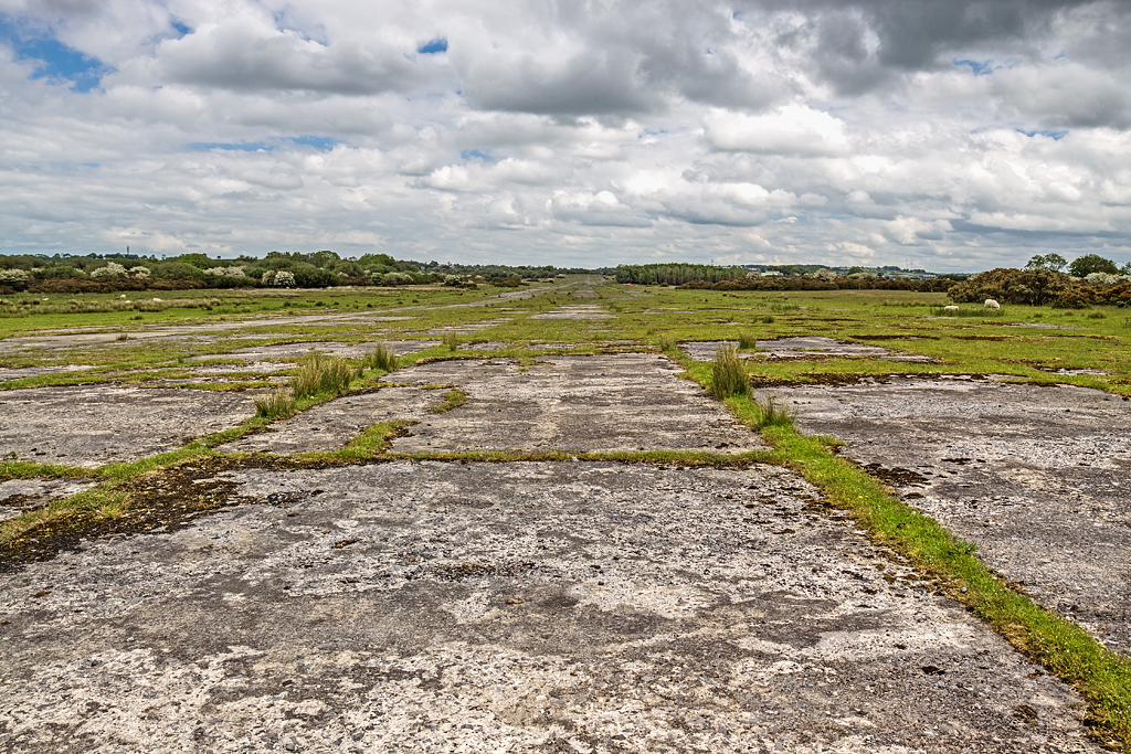
RAF Templeton

Royal Air Force Templeton, or more simply RAF Templeton, is a former Royal Air Force station located 9.75 miles (15.69 km) south east of Haverfordwest...

Kilgetty/Begelly

Kilgetty/Begelly is a community in southeast Pembrokeshire, Wales. It includes the settlements of Begelly, Broom, Kilgetty, Reynalton, Shipping and Thomas...

Jeffreyston

Jeffreyston (also known as Jeffreston) is a village, parish and community in Pembrokeshire. Jeffreyston lies on the B4586 road about 1 mile (1.6 km) northwest...

Related Videos

Welcome to Croft Country Park, Pembrokeshire

Croft, part of the Celtic Holiday Parks family, is thought by many of our regular visitors to be the jewel of our parks, and it's easy to ...

The Langham at Croft Country Park

Discover 5 star hotel living in The Langham, from Carnaby. Located on a premium pitch within The Beeches, one of our ...

Toronto Lodge at Croft Country Park

Outstanding 3 bed Swift Toronto Lodge for sale at Croft Country Park, Pembrokeshire. Become one of our VIP owners within the ...

Edmonton Lodge at Croft Country Park

Gorgeous 2 bed Swift Edmonton Lodge for sale at Croft Country Park, Pembrokeshire. Become one of our VIP owners within the ...

Nearby Amenities

Located within 500m of 51.751412,-4.7737374
Direction: 175
Generator Method: photovoltaic
Generator Output Electricity: yes
Generator Solar Modules: 4
Generator Source: solar
Generator Type: solar_photovoltaic_panel
Location: roof
Power: generator
Lat/Long: 51.7489137/-4.7703527
Direction: 175
Generator Method: photovoltaic
Generator Output Electricity: yes
Generator Solar Modules: 4
Generator Source: solar
Generator Type: solar_photovoltaic_panel
Location: roof
Power: generator
Lat/Long: 51.7489394/-4.7703578
Direction: 175
Generator Method: photovoltaic
Generator Output Electricity: yes
Generator Solar Modules: 4
Generator Source: solar
Generator Type: solar_photovoltaic_panel
Location: roof
Power: generator
Lat/Long: 51.7489317/-4.7704921
Direction: 175
Generator Method: photovoltaic
Generator Output Electricity: yes
Generator Solar Modules: 4
Generator Source: solar
Generator Type: solar_photovoltaic_panel
Location: roof
Power: generator
Lat/Long: 51.7489045/-4.7704873
Direction: 185
Generator Method: photovoltaic
Generator Output Electricity: yes
Generator Solar Modules: 6
Generator Source: solar
Generator Type: solar_photovoltaic_panel
Location: roof
Power: generator
Lat/Long: 51.7492221/-4.7724652
Direction: 185
Generator Method: photovoltaic
Generator Output Electricity: yes
Generator Solar Modules: 8
Generator Source: solar
Generator Type: solar_photovoltaic_panel
Location: roof
Power: generator
Lat/Long: 51.7492271/-4.7725216
Direction: SSW
Generator Method: photovoltaic
Generator Output Electricity: yes
Generator Solar Modules: 34
Generator Source: solar
Generator Type: solar_photovoltaic_panel
Location: roof
Power: generator
Lat/Long: 51.7527648/-4.7668219
The data included in this document is from www.openstreetmap.org. The data is made available under ODbL.

Have you been to Carne Wood?

Leave your review of Carne Wood below (or comments, questions and feedback).