Bunwell Bottom
Settlement in Norfolk South Norfolk
England
Bunwell Bottom

Bunwell Bottom is a small village located in the county of Norfolk, England. Situated in the South Norfolk district, it lies approximately 11 miles southwest of the city of Norwich. The village is nestled in a picturesque rural setting, surrounded by fields and farmland, providing a tranquil and peaceful atmosphere.
The village itself is characterized by charming cottages and houses, many of which are traditional Norfolk flint constructions. The local community is tight-knit, with a population of around 500 residents. Bunwell Bottom boasts a close proximity to nature, with several footpaths and bridleways that wind through the surrounding countryside, making it an ideal location for outdoor enthusiasts and nature lovers.
While Bunwell Bottom is a small village, it is well-served by amenities and facilities. The village has a primary school, offering education for local children, and there is a village hall that serves as a central hub for community events and activities. Additionally, there is a local pub where residents can gather for a drink or a meal.
The village benefits from its strategic location, providing easy access to larger towns and cities in the region. The nearby town of Attleborough is just a short drive away, offering a wider range of services, shops, and leisure facilities. Overall, Bunwell Bottom is a charming and idyllic village, perfect for those seeking a peaceful rural retreat in the heart of Norfolk.
If you have any feedback on the listing, please let us know in the comments section below.
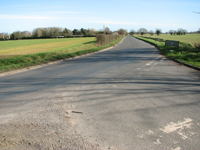
Bunwell Bottom Images
Images are sourced within 2km of 52.511699/1.102141 or Grid Reference TM1094. Thanks to Geograph Open Source API. All images are credited.


Bunwell Bottom is located at Grid Ref: TM1094 (Lat: 52.511699, Lng: 1.102141)
Administrative County: Norfolk
District: South Norfolk
Police Authority: Norfolk
What 3 Words
///masterful.fairway.tadpoles. Near Attleborough, Norfolk
Nearby Locations
Related Wikis

Bunwell
Bunwell is a parish (population 1024) situated in the county of Norfolk, England, approximately 7 miles south-east of Attleborough. The parish includes...

Carleton Rode
Carleton Rode is a village and civil parish in Norfolk, England. It is situated approximately five miles south-east of Attleborough. In the 2011 Census...

Tacolneston transmitting station
The Tacolneston transmitting station is a facility for both analogue and digital VHF/FM radio and UHF television transmission near Tacolneston, 11 miles...
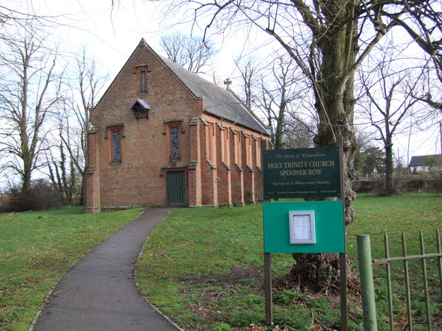
Spooner Row
Spooner Row is a small village, and civil parish, in the English county of Norfolk. It is situated some 5 km (3.1 mi) south-west of the town of Wymondham...
Nearby Amenities
Located within 500m of 52.511699,1.102141Have you been to Bunwell Bottom?
Leave your review of Bunwell Bottom below (or comments, questions and feedback).