Bunwell

Settlement in Norfolk South Norfolk

England

Bunwell

Bunwell Ford This ford is found on Barham's Lane just south of Bunwell.
Bunwell Ford Credit: John Walton

Bunwell is a picturesque village located in the county of Norfolk, England. Situated approximately 12 miles south-west of the city of Norwich, it falls within the district of South Norfolk. With a population of around 1,300 residents, Bunwell exudes a charming rural character and offers a peaceful and idyllic setting.

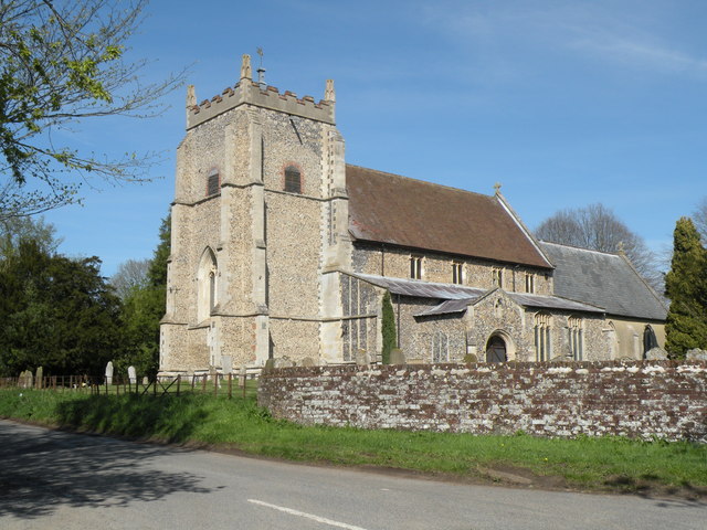
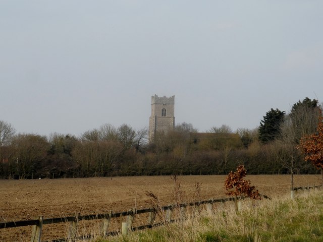
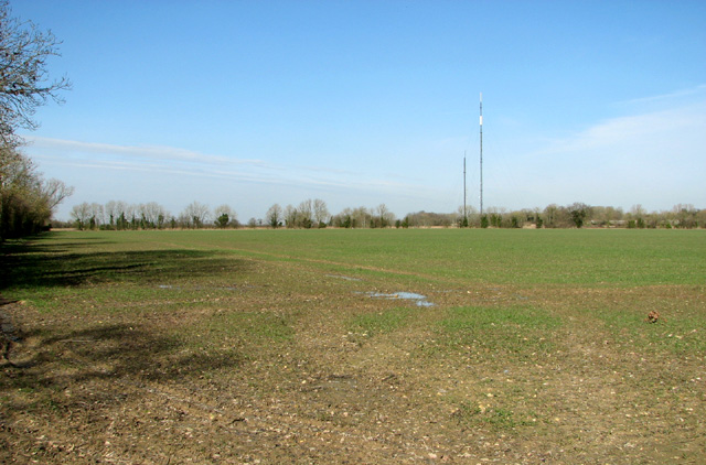
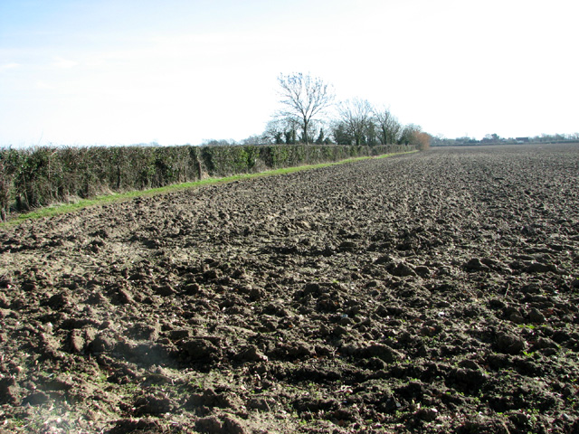
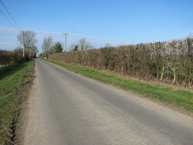
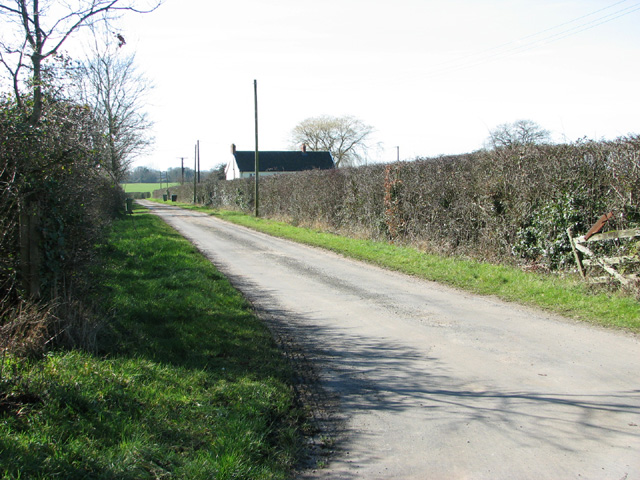
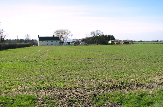
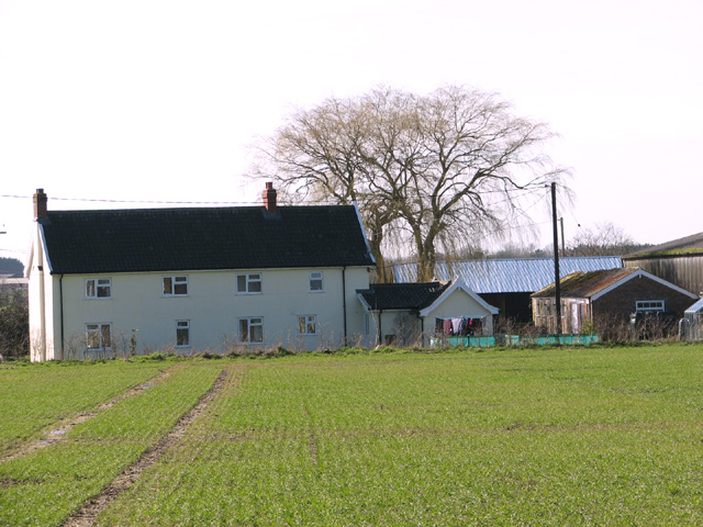
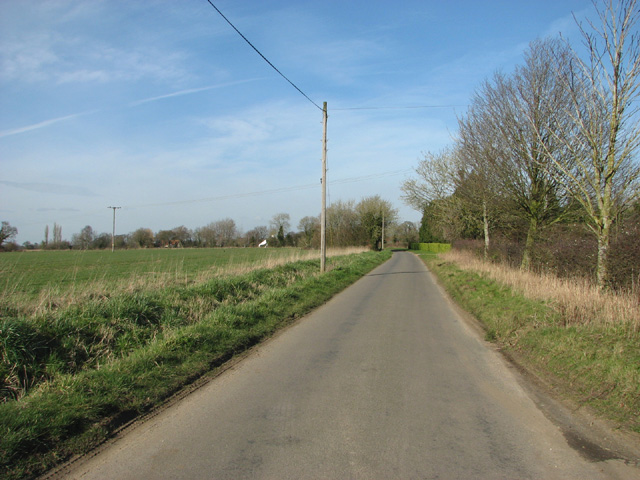
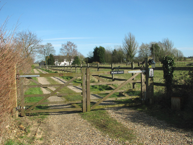
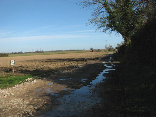
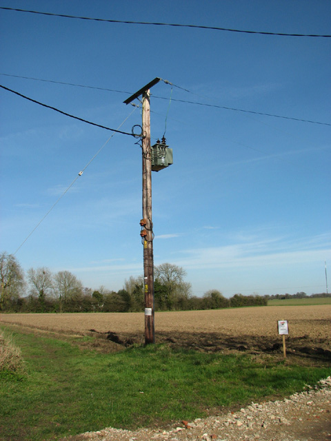
The village is known for its beautiful countryside, characterized by rolling fields, meadows, and woodlands. The landscape is dotted with traditional Norfolk cottages, some of which date back several centuries, adding to the village's timeless appeal. The surrounding area is predominantly agricultural, with farming playing a significant role in the local economy.

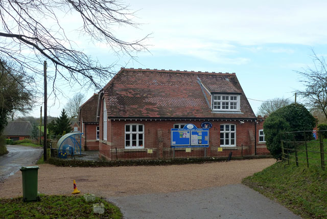
Bunwell boasts a close-knit community, and its residents enjoy a range of amenities and services. There is a primary school, a village hall, a post office, and a local pub, providing essential facilities and opportunities for socializing. Additionally, the village has a cricket club and a football club, contributing to a vibrant and active community spirit.

For those seeking recreational activities, the nearby Banham Zoo offers a delightful day out, showcasing a wide array of exotic animals. Furthermore, the village is conveniently located for exploring the Norfolk Broads, a network of rivers and lakes, which is a popular destination for boating, birdwatching, and walking.

Overall, Bunwell provides a tranquil and picturesque setting, making it an attractive place to live or visit for those looking to escape the hustle and bustle of city life and immerse themselves in the beauty of the Norfolk countryside.

If you have any feedback on the listing, please let us know in the comments section below.
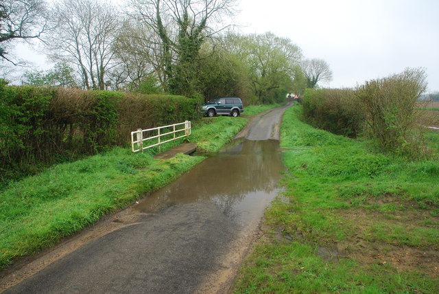
Bunwell Images

Images are sourced within 2km of 52.501128/1.118683 or Grid Reference TM1193. Thanks to Geograph Open Source API. All images are credited.

Bunwell Ford This ford is found on Barham's Lane just south of Bunwell.
Bunwell Ford
This ford is found on Barham's Lane just south of Bunwell.
All Saints: the parish church of Carleton Rode This church has a very interesting late 13th century chancel.  The rest of the church is of the perpendicular period.  The church stands in the centre of the village.
All Saints: the parish church of Carleton Rode
This church has a very interesting late 13th century chancel. The rest of the church is of the perpendicular period. The church stands in the centre of the village.
Church of St Michael and All Angels, Bunwell
Bunwell Primary School A plaque on the wall commemorates the school centenary: 1879 - 1979.
Bunwell Primary School
A plaque on the wall commemorates the school centenary: 1879 - 1979.
View along Story's Lane
Cereal crop north of Story's Lane The Tacolneston transmitter masts can be seen in the background (in adjacent grid square).
Cereal crop north of Story's Lane
The Tacolneston transmitter masts can be seen in the background (in adjacent grid square).
Field south of Story's Lane
View along Common Road
Access road to Common Farm and Common Cottage
Common Farm as seen from Common Road
Common Farm
Common Farm
View along Wymondham Road
Access road to Pond Farm
Grit bin beside Wymondham Road
Track to Deal Tree Farm
Electricity transformer by Cherry Tree Farm
Roadworks in Bunwell Street
View along Mile Road
Show me another place!

Bunwell is located at Grid Ref: TM1193 (Lat: 52.501128, Lng: 1.118683)

Administrative County: Norfolk

District: South Norfolk

Police Authority: Norfolk

What 3 Words

///perch.reserved.loans. Near Attleborough, Norfolk

Nearby Locations

Bunwell Great Green

Related Wikis

Bunwell

Bunwell is a parish (population 1024) situated in the county of Norfolk, England, approximately 7 miles south-east of Attleborough. The parish includes...

Carleton Rode

Carleton Rode is a village and civil parish in Norfolk, England. It is situated approximately five miles south-east of Attleborough. In the 2011 Census...

Tacolneston transmitting station

The Tacolneston transmitting station is a facility for both analogue and digital VHF/FM radio and UHF television transmission near Tacolneston, 11 miles...

Tacolneston Hall

Tacolneston Hall, in the village of Tacolneston in the county of Norfolk, has been the home of the Boileau baronets since the baronetcy was created in...

Nearby Amenities

Located within 500m of 52.501128,1.118683
Bunwell Street
Place: hamlet
Source: npe
Lat/Long: 52.5032071/1.1158253
Bus Stop
Greenways, adj
Naptan AtcoCode: 2900B598
Naptan Bearing: NW
Naptan CommonName: Greenways
Naptan Indicator: adj
Naptan Landmark: Greenways
Naptan Locality: Bunwell
Naptan NaptanCode: nfogmwjp
Naptan ShortCommonName: Greenways
Naptan Street: Bunwell Street
Naptan Verified: no
Source: naptan_import
Lat/Long: 52.4985602/1.1241214
Bus Stop
Post Office, opp
Naptan AtcoCode: 2900B599
Naptan Bearing: SE
Naptan CommonName: Post Office
Naptan Indicator: opp
Naptan Landmark: opp post office
Naptan Locality: Bunwell
Naptan NaptanCode: nfogmwjt
Naptan Street: Bunwell Street
Shelter: no
Source: naptan_import;survey
Lat/Long: 52.5018945/1.1156923
Fixme: Does a Public Footpath head south from here?
Note: Definitive Statement and historic OS 1:25 suggest Carleton Rode FP 3 starts somewhere here.
Lat/Long: 52.4991727/1.1174112
Man Made: water_tower
Source: Bing
Lat/Long: 52.5028444/1.1234285
Post Box
Collection Times: Mo-Fr 16:45; Sa 12:00
Operator: Royal Mail
Operator Wikidata: Q638098
Post Box Mounting: pier
Post Box Type: lamp
Ref: NR16 1605
Royal Cypher: EIIR
Royal Cypher Wikidata: Q33102113
Lat/Long: 52.5018218/1.1156165
Post Box
Collection Times: Mo-Fr 16:45; Sa 11:45
Post Box Mounting: pier
Post Box Type: lamp
Ref: NR16 1619
Royal Cypher: EIIR
Royal Cypher Wikidata: Q33102113
Lat/Long: 52.50017/1.1207639
Fixme: Does a Public Footpath leave the road and head south somewhere here?
Note: Definitive Statement and historic OS 1:25k suggest Bunwell FP 5 may start here
Lat/Long: 52.4992703/1.1222583
Power: pole
Lat/Long: 52.5005725/1.1160815
Power: pole
Lat/Long: 52.5038379/1.114507
Power: pole
Lat/Long: 52.5030526/1.1155182
Power: pole
Lat/Long: 52.4989608/1.1141181
Power: pole
Lat/Long: 52.4997675/1.1150944
Power: pole
Lat/Long: 52.5008125/1.1163792
Post Office
Bunwell Post Office
Addr City: Norwich
Addr Housenumber: 98
Addr Street: Bunwell Street
Addr Village: Bunwell
Brand: Post Office
Brand Wikidata: Q1783168
Contact Website: https://www.postoffice.co.uk/branch-finder/5441366/bunwell
Fixme: Find location in store
Note: Inside Premier store
Opening Hours: Mo-Sa 07:00-20:00; Su 08:00-17:00
Ref Pol Id: 131048
Source: pol_branch_list_2018-01;https://www.facebook.com/Bunwell-Stores-642540092533930/
Source Addr: pol_branch_list_2018-01
Source Opening Hours: pol_branch_list_2018-01
Lat/Long: 52.5011169/1.1183686
Give Way
Lat/Long: 52.4997283/1.1182734
Defibrillator
Booth: K6
Covered: booth
Defibrillator Location: inside old red phone box in Bunwell Street
Disused Amenity: telephone
Emergency: defibrillator
Man Made: telephone_box
Ref GB The Circuit: 8EAE4DC7-6210-48C5-B255-B02700ECE683
Lat/Long: 52.5010613/1.1191501
The data included in this document is from www.openstreetmap.org. The data is made available under ODbL.

Have you been to Bunwell?

Leave your review of Bunwell below (or comments, questions and feedback).