Bunwell Hill

Settlement in Norfolk South Norfolk

England

Bunwell Hill

Low Common Lane Towards Bunwell Hill.
Low Common Lane Credit: Robin Webster

Bunwell Hill is a small rural village located in the county of Norfolk, England. Situated approximately 16 miles south-west of the city of Norwich, the village is nestled on a hilltop, offering stunning views of the surrounding countryside.

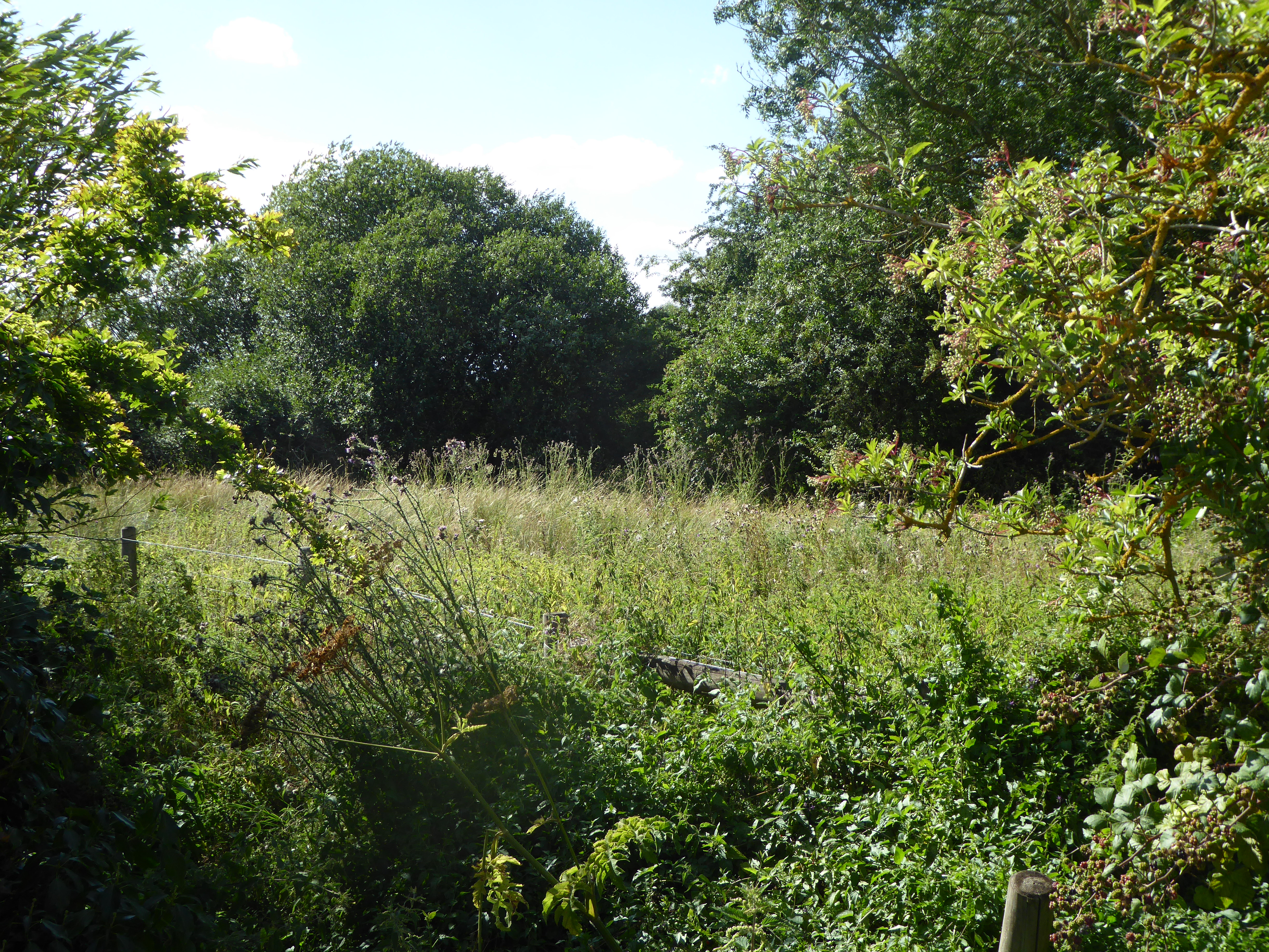
Characterized by its charming and peaceful atmosphere, Bunwell Hill is known for its picturesque landscapes, with rolling hills, fields, and woodlands dotting the area. The village itself is made up of a collection of quaint cottages and houses, many of which boast traditional Norfolk flint construction.

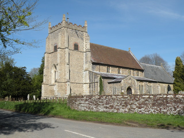
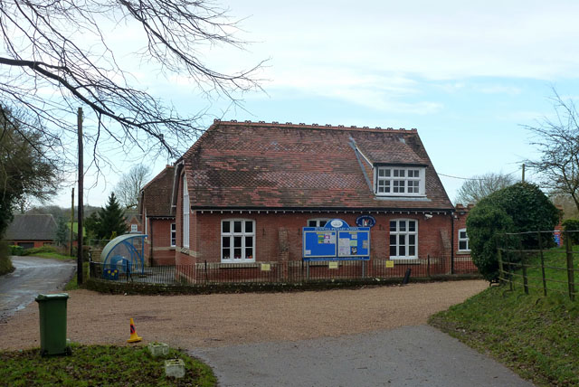
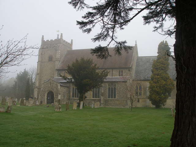
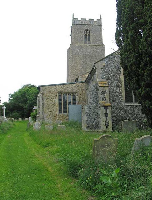
Despite its small size, Bunwell Hill is a close-knit community that takes pride in its local amenities and strong sense of community spirit. The village features a primary school, a village hall, and a parish church, which serves as a focal point for social gatherings and religious services.

The surrounding countryside offers numerous opportunities for outdoor activities such as hiking, cycling, and horse riding, with several footpaths and bridleways crisscrossing the area. The village is also within close proximity to the renowned Thetford Forest, a vast woodland boasting an array of recreational activities and nature trails.

While Bunwell Hill may lack the hustle and bustle of larger towns, its peaceful and idyllic setting makes it an attractive place for those seeking a more relaxed pace of life. With its charming countryside, strong community bonds, and proximity to nature, Bunwell Hill offers a delightful retreat for residents and visitors alike.

If you have any feedback on the listing, please let us know in the comments section below.
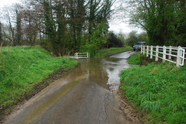
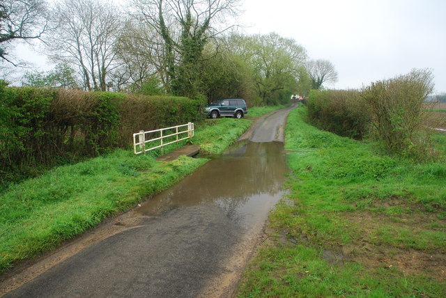
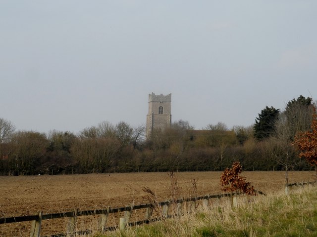
Bunwell Hill Images

Images are sourced within 2km of 52.482964/1.1298 or Grid Reference TM1291. Thanks to Geograph Open Source API. All images are credited.

Low Common Lane Towards Bunwell Hill.
Low Common Lane
Towards Bunwell Hill.
Bunwell Hill The name of the road as well as the settlement.
Bunwell Hill
The name of the road as well as the settlement.
B1113 The Turnpike Towards New Buckenham.
B1113 The Turnpike
Towards New Buckenham.
Gower's Farm Ford This ford on the River Tas is found on Hall Road on the way to Bunwell Hill. The ford is in flood following heavy April rain.
Gower's Farm Ford
This ford on the River Tas is found on Hall Road on the way to Bunwell Hill. The ford is in flood following heavy April rain.
Bunwell Ford This ford is found on Barham's Lane just south of Bunwell.
Bunwell Ford
This ford is found on Barham's Lane just south of Bunwell.
All Saints: the parish church of Carleton Rode This church has a very interesting late 13th century chancel.  The rest of the church is of the perpendicular period.  The church stands in the centre of the village.
All Saints: the parish church of Carleton Rode
This church has a very interesting late 13th century chancel. The rest of the church is of the perpendicular period. The church stands in the centre of the village.
Church of St Michael and All Angels, Bunwell
Bunwell Primary School A plaque on the wall commemorates the school centenary: 1879 - 1979.
Bunwell Primary School
A plaque on the wall commemorates the school centenary: 1879 - 1979.
St. Michael: the parish church of Bunwell This perpendicular church stands away from the village, just southeast.
St. Michael: the parish church of Bunwell
This perpendicular church stands away from the village, just southeast.
Ordnance Survey Rivet This damaged OS rivet can be found on Mile Stone - Norwich 12. It marks a point 54.712m above mean sea level. <a title="https://www.geograph.org.uk/photo/4206181" href="https://www.geograph.org.uk/photo/4206181">Link</a>
Ordnance Survey Rivet
This damaged OS rivet can be found on Mile Stone - Norwich 12. It marks a point 54.712m above mean sea level. Link
Mile Stone - Norwich 12 There is an Ordnance Survey rivet on the top of this mile stone. <a title="https://www.geograph.org.uk/photo/4206178" href="https://www.geograph.org.uk/photo/4206178">Link</a>
Mile Stone - Norwich 12
There is an Ordnance Survey rivet on the top of this mile stone. Link
Mile Stone - Norwich  13
Mile Stone - Norwich 13
Ordnance Survey Cut Mark This OS cut mark can be found on the mile stone - Norwich 14. It marks a point 45.501m above mean sea level. <a title="https://www.geograph.org.uk/photo/4206202" href="https://www.geograph.org.uk/photo/4206202">Link</a>
Ordnance Survey Cut Mark
This OS cut mark can be found on the mile stone - Norwich 14. It marks a point 45.501m above mean sea level. Link
Mile Stone - Norwich 14 There is an Ordnance Survey cut mark on this mile stone. <a title="https://www.geograph.org.uk/photo/4206196" href="https://www.geograph.org.uk/photo/4206196">Link</a>
Mile Stone - Norwich 14
There is an Ordnance Survey cut mark on this mile stone. Link
Ordnance Survey Cut Mark This OS cut mark can be found on the SW angle of St Michael's Church. It marks a point 60.933m above mean sea level.
Ordnance Survey Cut Mark
This OS cut mark can be found on the SW angle of St Michael's Church. It marks a point 60.933m above mean sea level.
Carleton Rode, All Saints The tower here houses a ring of 6 in the key of A, the tenor weighing 7-1-3.
Carleton Rode, All Saints
The tower here houses a ring of 6 in the key of A, the tenor weighing 7-1-3.
All Saints' Church Carleton Rode The nave and chancel are mostly C13. The tower is C14.
All Saints' Church Carleton Rode
The nave and chancel are mostly C13. The tower is C14.
Two mid-air collision Memorials at Carleton Rode The upper part of the memorial is to the memory of 17 american airmen who were killed on November 21st 1944, when their aircraft collided over the village. The aircraft were from 550th Squadron based at Great Ashfield and 389th based at Hethel.
The lower part of the Memorial is to 11 men killed in similar circumstances on February 9th 1945 when two aircraft collided and crashed at Bury's Hall Farm. One was from 453 squadron, and the other was from 734 squadron both flying out of Old Buckenham.
Two mid-air collision Memorials at Carleton Rode
The upper part of the memorial is to the memory of 17 american airmen who were killed on November 21st 1944, when their aircraft collided over the village. The aircraft were from 550th Squadron based at Great Ashfield and 389th based at Hethel. The lower part of the Memorial is to 11 men killed in similar circumstances on February 9th 1945 when two aircraft collided and crashed at Bury's Hall Farm. One was from 453 squadron, and the other was from 734 squadron both flying out of Old Buckenham.
Show me another place!

Bunwell Hill is located at Grid Ref: TM1291 (Lat: 52.482964, Lng: 1.1298)

Administrative County: Norfolk

District: South Norfolk

Police Authority: Norfolk

What 3 Words

///unusable.bulge.inserted. Near Long Stratton, Norfolk

Nearby Locations

Bunwell Hill

Related Wikis

Carleton Rode

Carleton Rode is a village and civil parish in Norfolk, England. It is situated approximately five miles south-east of Attleborough. In the 2011 Census...

Bunwell

Bunwell is a parish (population 1024) situated in the county of Norfolk, England, approximately 7 miles south-east of Attleborough. The parish includes...

Tibenham, Norfolk

Tibenham is a village and civil parish located in the Depwade district of South Norfolk, England. The parish is 2 miles (3.2 km) north west of Tivetshall...

Aslacton Parish Land

Aslacton Parish Land is a 4.4-hectare (11-acre) biological Site of Special Scientific Interest west of Long Stratton in Norfolk.This site has wet and dry...

Nearby Amenities

Located within 500m of 52.482964,1.1298
Post Box
Collection Times: Mo-Fr 16:45; Sa 11:45
Operator: Royal Mail
Post Box Type: lamp
Ref: NR16 1624
Royal Cypher: EIIR
Royal Cypher Wikidata: Q33102113
Lat/Long: 52.4830564/1.1335174
Power: pole
Lat/Long: 52.4863942/1.1299834
Power: pole
Lat/Long: 52.4870573/1.129919
Power: pole
Lat/Long: 52.485259/1.1301443
Power: pole
Lat/Long: 52.4841466/1.130273
Power: pole
Lat/Long: 52.4813714/1.1303589
Power: pole
Lat/Long: 52.480517/1.1252761
Power: pole
Lat/Long: 52.4808667/1.1270637
Give Way
Lat/Long: 52.4831787/1.1338676
Give Way
Lat/Long: 52.4831567/1.1336979
Give Way
Lat/Long: 52.4830857/1.1336558
Power: pole
Lat/Long: 52.484381/1.1247843
Power: pole
Transformer: distribution
Lat/Long: 52.484969/1.1248407
Power: pole
Lat/Long: 52.4814653/1.1295694
Power: pole
Lat/Long: 52.4826324/1.1298403
Power: pole
Lat/Long: 52.4813648/1.127832
Location Transition: yes
Power: pole
Transformer: distribution
Lat/Long: 52.4811729/1.1320719
Power: pole
Lat/Long: 52.4812656/1.131227
The data included in this document is from www.openstreetmap.org. The data is made available under ODbL.

Have you been to Bunwell Hill?

Leave your review of Bunwell Hill below (or comments, questions and feedback).