Allensmore

Settlement in Herefordshire

England

Allensmore

Field near Coed More Farm
Field near Coed More Farm Credit: JThomas

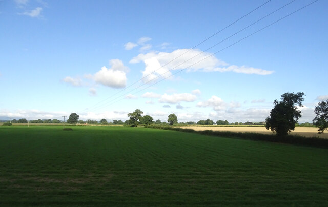
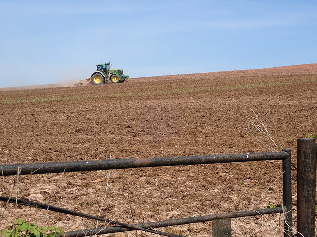
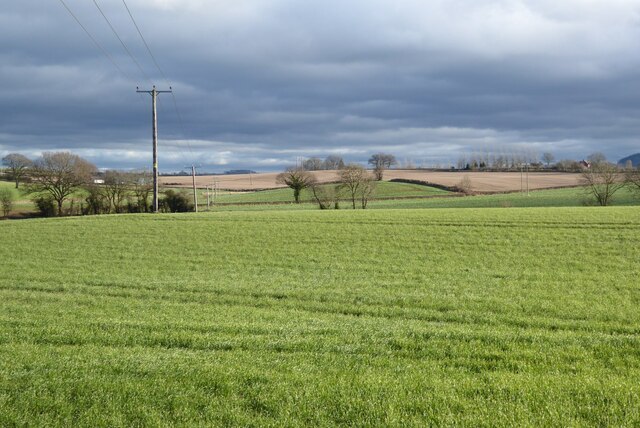
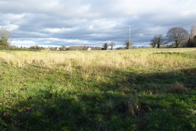
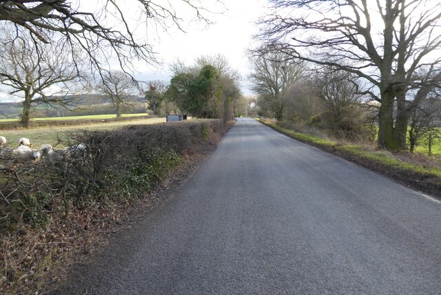
Allensmore is a small village located in the county of Herefordshire, England. Situated approximately 5 miles southwest of the city of Hereford, Allensmore is nestled within the picturesque countryside of the county. The village is set amidst rolling green hills and offers stunning views of the surrounding area.

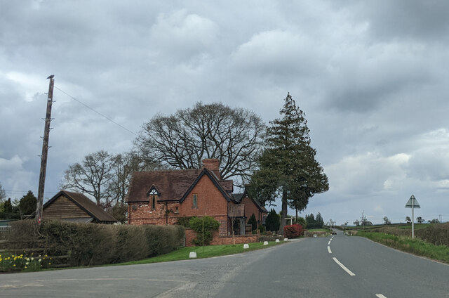
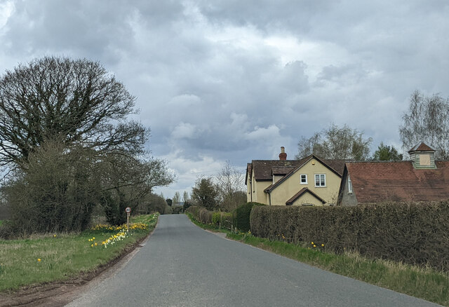
With a population of around 500 residents, Allensmore retains a strong sense of community and rural charm. The village is predominantly residential, with a mix of traditional cottages and modern houses. The architecture reflects a blend of historical and contemporary styles, adding to the village's character.

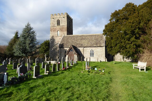
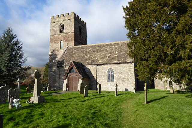
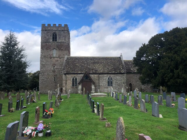
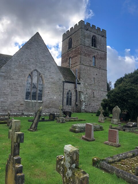
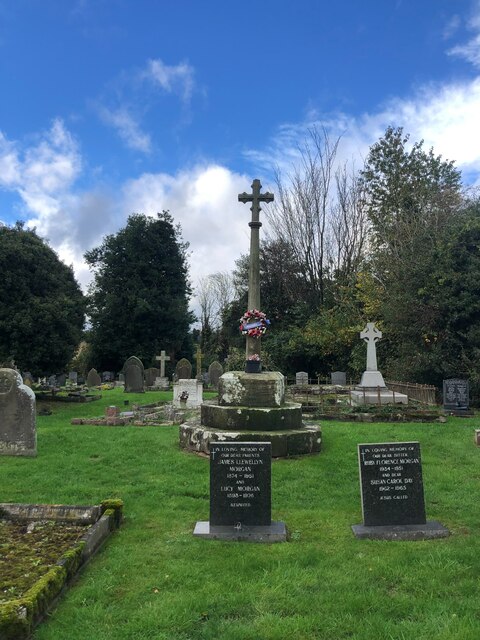
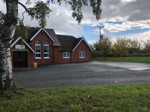
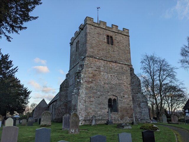
Allensmore is well-served by local amenities, including a village hall, primary school, and a parish church. The village hall acts as a central hub for community gatherings and events, fostering a strong sense of togetherness among residents. The local primary school provides education for children within the village, while secondary schools are located in nearby towns.

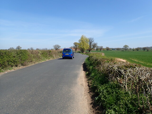
The surrounding countryside offers a multitude of outdoor activities for residents and visitors alike. The area is a haven for walkers, with numerous footpaths and trails crisscrossing the countryside. Allensmore is also a popular destination for cyclists, with quiet country lanes and scenic routes to explore.

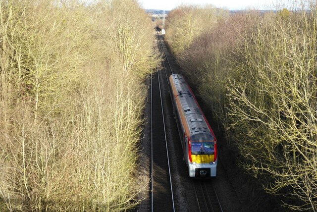
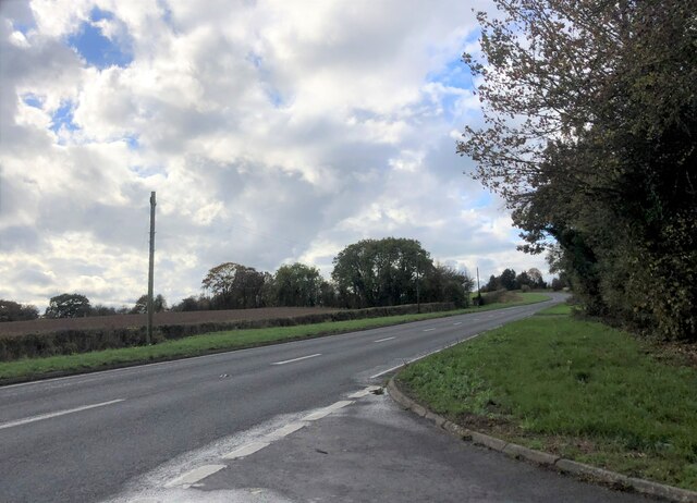
In terms of transport links, Allensmore is conveniently located near major roads, including the A465 and A49, providing easy access to Hereford and other nearby towns. Public transport options are limited, with infrequent bus services connecting the village to larger towns.

Overall, Allensmore is a charming village that offers a peaceful and idyllic lifestyle amidst the natural beauty of Herefordshire.

If you have any feedback on the listing, please let us know in the comments section below.
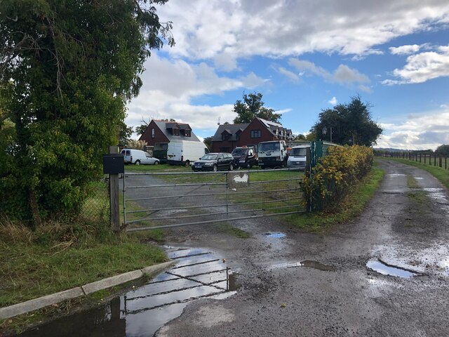
Allensmore Images

Images are sourced within 2km of 52.020379/-2.7778513 or Grid Reference SO4636. Thanks to Geograph Open Source API. All images are credited.

Field near Coed More Farm
Minor country road heading for Callow
Ploughing on Blakemore Hill
All Saints Church, Clehonger Clehonger church is dedicated to All Saints and dates back to the 12th century.  The church is Grade I listed, see: <span class="nowrap"><a title="https://historicengland.org.uk/listing/the-list/list-entry/1301135?section=official-listing" rel="nofollow ugc noopener" href="https://historicengland.org.uk/listing/the-list/list-entry/1301135?section=official-listing">Link</a><img style="margin-left:2px;" alt="External link" title="External link - shift click to open in new window" src="https://s1.geograph.org.uk/img/external.png" width="10" height="10"/></span>
All Saints Church, Clehonger
Clehonger church is dedicated to All Saints and dates back to the 12th century. The church is Grade I listed, see: LinkExternal link
All Saints church, Clehonger Clehonger church is dedicated to All Saints and dates back to the 12th century.  The church is Grade I listed, see: <span class="nowrap"><a title="https://historicengland.org.uk/listing/the-list/list-entry/1301135?section=official-listing" rel="nofollow ugc noopener" href="https://historicengland.org.uk/listing/the-list/list-entry/1301135?section=official-listing">Link</a><img style="margin-left:2px;" alt="External link" title="External link - shift click to open in new window" src="https://s1.geograph.org.uk/img/external.png" width="10" height="10"/></span>  A similar picture to the first picture uploaded in this grid square almost sixteen years ago <a href="https://www.geograph.org.uk/photo/149666">SO4637 : All Saints Church, Clehonger</a>.
All Saints church, Clehonger
Clehonger church is dedicated to All Saints and dates back to the 12th century. The church is Grade I listed, see: LinkExternal link A similar picture to the first picture uploaded in this grid square almost sixteen years ago SO4637 : All Saints Church, Clehonger.
Rolling Herefordshire farmland Rolling Herefordshire farmland near Allensmore.
Rolling Herefordshire farmland
Rolling Herefordshire farmland near Allensmore.
Field opposite Clehonger Court
An Abergavenny bound train An Abergavenny bound train training south from Hereford.
An Abergavenny bound train
An Abergavenny bound train training south from Hereford.
Country road from Belmont to Callow
Haywood Lodge Cottages, looking north
Houses south of Haywood Lodge, looking north
Church of All Saints, Clehonger This lovely Herefordshire church of All Saints was built during the 13th century, although there was once a Norman church on the site. It is Grade I listed. <span class="nowrap"><a title="https://herefordshirepast.co.uk/churches/all-saints-church-2/" rel="nofollow ugc noopener" href="https://herefordshirepast.co.uk/churches/all-saints-church-2/">Link</a><img style="margin-left:2px;" alt="External link" title="External link - shift click to open in new window" src="https://s1.geograph.org.uk/img/external.png" width="10" height="10"/></span>
Church of All Saints, Clehonger
This lovely Herefordshire church of All Saints was built during the 13th century, although there was once a Norman church on the site. It is Grade I listed. LinkExternal link
Church of All Saints, Clehonger Medieval church, Grade I listed. <span class="nowrap"><a title="https://herefordshirepast.co.uk/churches/all-saints-church-2/" rel="nofollow ugc noopener" href="https://herefordshirepast.co.uk/churches/all-saints-church-2/">Link</a><img style="margin-left:2px;" alt="External link" title="External link - shift click to open in new window" src="https://s1.geograph.org.uk/img/external.png" width="10" height="10"/></span>
Church of All Saints, Clehonger
Medieval church, Grade I listed. LinkExternal link
Preaching cross, Clehonger Church
The A465 At a junction with a minor road from Clehonger
The A465
At a junction with a minor road from Clehonger
Pateshall Hall The Village Hall for Allensmore
Pateshall Hall
The Village Hall for Allensmore
Track to a car dealership The dealership, Patrick Evans Commercials, is a few hundred yards up the lane but it looks like he may keep some of his vehicles in this compound
Track to a car dealership
The dealership, Patrick Evans Commercials, is a few hundred yards up the lane but it looks like he may keep some of his vehicles in this compound
St. Andrew's church (Allensmore) Here is the parish church of St. Andrew in Allensmore, viewed from the west (main) entrance to the churchyard. The west bell tower was built in the late C15, and the church was grade II* listed in January 1967.
St. Andrew's church (Allensmore)
Here is the parish church of St. Andrew in Allensmore, viewed from the west (main) entrance to the churchyard. The west bell tower was built in the late C15, and the church was grade II* listed in January 1967.
Show me another place!

Allensmore is located at Grid Ref: SO4636 (Lat: 52.020379, Lng: -2.7778513)

Unitary Authority: County of Herefordshire

Police Authority: West Mercia

What 3 Words

///modes.suave.nails. Near Callow, Herefordshire

Related Wikis

Allensmore

Allensmore is a village in Herefordshire, England. It is located on the A465 road about 4 miles (6 km) south-west of Hereford. The church is dedicated...

Haywood, Herefordshire

Haywood is a civil parish in Herefordshire, England, and south-west of Hereford. Parish population at the 2011 census was 216. There are no substantial...

Clehonger

Clehonger is a village and civil parish in Herefordshire, England, and 7 km (4.3 mi) south-west of Hereford. Clehonger is from the old English 'Clayey...

Tram Inn railway station

Tram Inn railway station was a station to the east of Thruxton, Herefordshire, England. It was named after a local public house, itself named after a tramway...

Belmont Abbey, Herefordshire

Belmont Abbey, in Herefordshire, England, is a Catholic Benedictine monastery that forms part of the English Benedictine Congregation. It stands on a small...

Kingstone, Herefordshire

Kingstone is a civil parish and a large village in rural Herefordshire, England. It lies within the historic area of Archenfield, near the Welsh border...

Dewsall

Dewsall is a civil parish in south Herefordshire, England, approximately 4 miles (6 km) south from the city and county town of Hereford. The nearest market...

Grafton, Herefordshire

Grafton is a village and civil parish in Herefordshire, England. The population of this civil parish was 258 at the 2011 census. The parish includes the...

Nearby Amenities

Located within 500m of 52.020379,-2.7778513
Bus Stop
Goose Pool
Naptan AtcoCode: 2090A075100
Naptan Bearing: NE
Naptan CommonName: Goose Pool
Naptan Indicator: adj
Naptan Landmark: Cobhall Common turn
Naptan NaptanCode: heradjdw
Naptan Street: A465
Naptan Verified: no
Source: naptan_import
Lat/Long: 52.0234465/-2.781689
Bus Stop
Village Hall
Naptan AtcoCode: 2090A19662
Naptan Bearing: SW
Naptan CommonName: Village Hall
Naptan Indicator: adj
Naptan Landmark: o/s Pateshill Hall. End Church Road
Naptan NaptanCode: heramgpg
Naptan Street: A465
Naptan Verified: no
Source: naptan_import
Lat/Long: 52.0217804/-2.7837324
Allensmore
Place: village
Source: NPE
Wikidata: Q2434290
Lat/Long: 52.0193652/-2.78011
Barrier: stile
Lat/Long: 52.0239409/-2.7822148
Entrance: main
Lat/Long: 52.0216609/-2.783546
Barrier: stile
Lat/Long: 52.0190168/-2.7812505
Barrier: kissing_gate
Lat/Long: 52.0201877/-2.7820115
Barrier: stile
Lat/Long: 52.0203216/-2.7815771
The data included in this document is from www.openstreetmap.org. The data is made available under ODbL.

Have you been to Allensmore?

Leave your review of Allensmore below (or comments, questions and feedback).