Courtlands Plantation

Wood, Forest in Herefordshire

England

Courtlands Plantation

Farmland at Clehonger View to the east towards Belmont across farmland at Clehonger.
Farmland at Clehonger Credit: Philip Halling

Courtlands Plantation is a sprawling woodland located in the picturesque county of Herefordshire, England. Covering an area of approximately 500 acres, it is a haven for nature enthusiasts and a vital ecological site within the region. The plantation primarily consists of a dense forest, characterized by a mix of broadleaf and coniferous trees.

The woodland is home to a diverse range of flora and fauna, providing a rich habitat for several species of birds, mammals, and insects. Visitors can expect to encounter majestic oak and beech trees, standing tall amidst a carpet of bluebells, ferns, and wildflowers. The serene ambiance and tranquility of the forest make it an ideal spot for leisurely walks, picnics, or birdwatching.

Courtlands Plantation has a long history dating back several centuries. It has been owned and managed by the same family for generations, with some areas being designated as ancient woodland. This designation ensures the preservation of the natural and historical heritage of the site.

Additionally, the plantation serves as an important resource for the local timber industry. Sustainable logging practices are implemented to selectively harvest trees, ensuring the long-term health and viability of the woodland. The timber from Courtlands Plantation is often used for construction, furniture making, and firewood.

Overall, Courtlands Plantation is a cherished natural gem of Herefordshire, offering a peaceful retreat for nature lovers, a habitat for wildlife, and a sustainable resource for the local community.

If you have any feedback on the listing, please let us know in the comments section below.

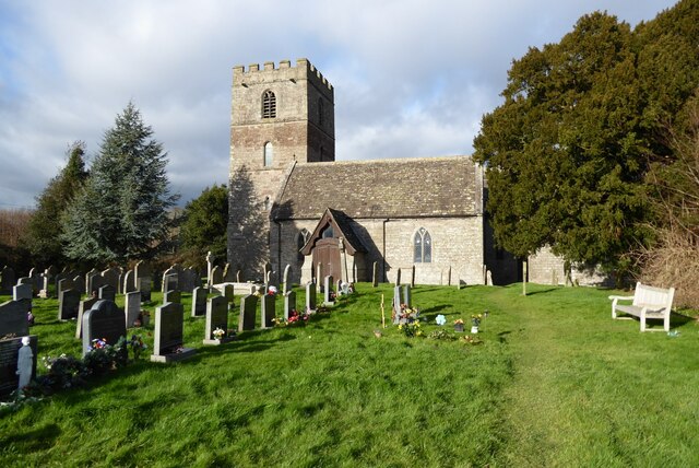
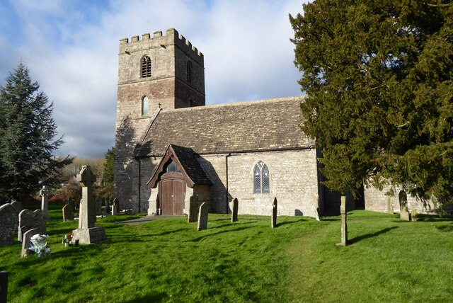
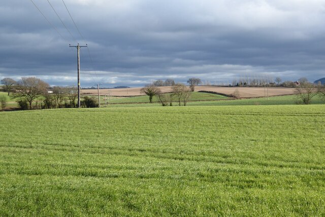
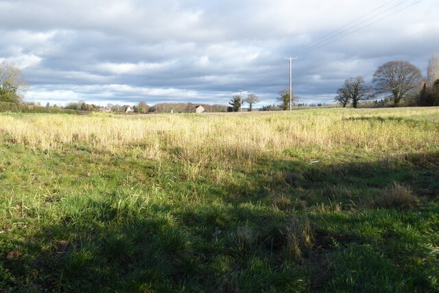
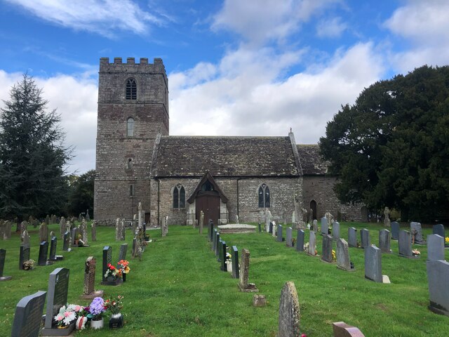
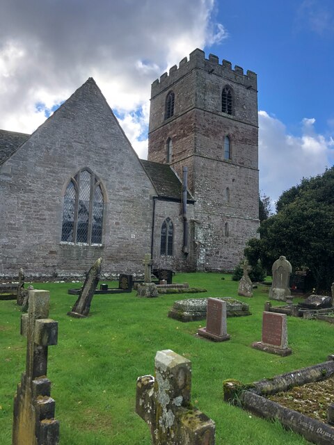
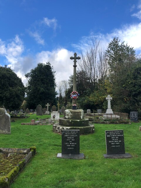
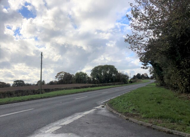
Courtlands Plantation Images

Images are sourced within 2km of 52.025841/-2.7826101 or Grid Reference SO4636. Thanks to Geograph Open Source API. All images are credited.

Farmland at Clehonger View to the east towards Belmont across farmland at Clehonger.
Farmland at Clehonger
View to the east towards Belmont across farmland at Clehonger.
All Saints Church, Clehonger Clehonger church is dedicated to All Saints and dates back to the 12th century.  The church is Grade I listed, see: <span class="nowrap"><a title="https://historicengland.org.uk/listing/the-list/list-entry/1301135?section=official-listing" rel="nofollow ugc noopener" href="https://historicengland.org.uk/listing/the-list/list-entry/1301135?section=official-listing">Link</a><img style="margin-left:2px;" alt="External link" title="External link - shift click to open in new window" src="https://s1.geograph.org.uk/img/external.png" width="10" height="10"/></span>
All Saints Church, Clehonger
Clehonger church is dedicated to All Saints and dates back to the 12th century. The church is Grade I listed, see: LinkExternal link
All Saints church, Clehonger Clehonger church is dedicated to All Saints and dates back to the 12th century.  The church is Grade I listed, see: <span class="nowrap"><a title="https://historicengland.org.uk/listing/the-list/list-entry/1301135?section=official-listing" rel="nofollow ugc noopener" href="https://historicengland.org.uk/listing/the-list/list-entry/1301135?section=official-listing">Link</a><img style="margin-left:2px;" alt="External link" title="External link - shift click to open in new window" src="https://s1.geograph.org.uk/img/external.png" width="10" height="10"/></span>  A similar picture to the first picture uploaded in this grid square almost sixteen years ago <a href="https://www.geograph.org.uk/photo/149666">SO4637 : All Saints Church, Clehonger</a>.
All Saints church, Clehonger
Clehonger church is dedicated to All Saints and dates back to the 12th century. The church is Grade I listed, see: LinkExternal link A similar picture to the first picture uploaded in this grid square almost sixteen years ago SO4637 : All Saints Church, Clehonger.
Rolling Herefordshire farmland Rolling Herefordshire farmland near Allensmore.
Rolling Herefordshire farmland
Rolling Herefordshire farmland near Allensmore.
Field opposite Clehonger Court
Church of All Saints, Clehonger This lovely Herefordshire church of All Saints was built during the 13th century, although there was once a Norman church on the site. It is Grade I listed. <span class="nowrap"><a title="https://herefordshirepast.co.uk/churches/all-saints-church-2/" rel="nofollow ugc noopener" href="https://herefordshirepast.co.uk/churches/all-saints-church-2/">Link</a><img style="margin-left:2px;" alt="External link" title="External link - shift click to open in new window" src="https://s1.geograph.org.uk/img/external.png" width="10" height="10"/></span>
Church of All Saints, Clehonger
This lovely Herefordshire church of All Saints was built during the 13th century, although there was once a Norman church on the site. It is Grade I listed. LinkExternal link
Church of All Saints, Clehonger Medieval church, Grade I listed. <span class="nowrap"><a title="https://herefordshirepast.co.uk/churches/all-saints-church-2/" rel="nofollow ugc noopener" href="https://herefordshirepast.co.uk/churches/all-saints-church-2/">Link</a><img style="margin-left:2px;" alt="External link" title="External link - shift click to open in new window" src="https://s1.geograph.org.uk/img/external.png" width="10" height="10"/></span>
Church of All Saints, Clehonger
Medieval church, Grade I listed. LinkExternal link
Preaching cross, Clehonger Church
The A465 At a junction with a minor road from Clehonger
The A465
At a junction with a minor road from Clehonger
Pateshall Hall The Village Hall for Allensmore
Pateshall Hall
The Village Hall for Allensmore
Track to a car dealership The dealership, Patrick Evans Commercials, is a few hundred yards up the lane but it looks like he may keep some of his vehicles in this compound
Track to a car dealership
The dealership, Patrick Evans Commercials, is a few hundred yards up the lane but it looks like he may keep some of his vehicles in this compound
St. Andrew's church (Allensmore) Here is the parish church of St. Andrew in Allensmore, viewed from the west (main) entrance to the churchyard. The west bell tower was built in the late C15, and the church was grade II* listed in January 1967.
St. Andrew's church (Allensmore)
Here is the parish church of St. Andrew in Allensmore, viewed from the west (main) entrance to the churchyard. The west bell tower was built in the late C15, and the church was grade II* listed in January 1967.
Church House (Allensmore) The timber-framed farmhouse is south from St. Andrew parish church, built around the late C17 or early C18. This was altered in later centuries, and was grade II listed in October 1986.
Church House (Allensmore)
The timber-framed farmhouse is south from St. Andrew parish church, built around the late C17 or early C18. This was altered in later centuries, and was grade II listed in October 1986.
Path to St. Andrew's church (Allensmore) Restoration work on the late C19 south porch is evident in this view. The path to the right is on a public footpath that heads south to Home Farm, and two ancient yew trees are in the distance.
Path to St. Andrew's church (Allensmore)
Restoration work on the late C19 south porch is evident in this view. The path to the right is on a public footpath that heads south to Home Farm, and two ancient yew trees are in the distance.
Porch at St. Andrew's church (Allensmore) The late C19 south porch was being restored on my visit, and the gabled south window in the nave is visible to the right.
Porch at St. Andrew's church (Allensmore)
The late C19 south porch was being restored on my visit, and the gabled south window in the nave is visible to the right.
Bell tower at St. Andrew's church (Allensmore) The west bell tower was built in the late C15, and this is the south face of the tower.
Bell tower at St. Andrew's church (Allensmore)
The west bell tower was built in the late C15, and this is the south face of the tower.
Window inside St. Andrew's church (Allensmore) Two-light window in the north wall of the nave (w end), with the east light depicting St. David, installed in memory of Colonel Henry Evan Pateshall of Allensmore Court (1879-1948).
Window inside St. Andrew's church (Allensmore)
Two-light window in the north wall of the nave (w end), with the east light depicting St. David, installed in memory of Colonel Henry Evan Pateshall of Allensmore Court (1879-1948).
Inside St. Andrew's church (Allensmore) Here is the interior of Allensmore parish church from the west end of the nave. The chancel screen was built in the early C20, and some decades earlier, most of the stained-glass in the windows were installed. This was grade II* listed in January 1967.
Inside St. Andrew's church (Allensmore)
Here is the interior of Allensmore parish church from the west end of the nave. The chancel screen was built in the early C20, and some decades earlier, most of the stained-glass in the windows were installed. This was grade II* listed in January 1967.
Show me another place!

Courtlands Plantation is located at Grid Ref: SO4636 (Lat: 52.025841, Lng: -2.7826101)

Unitary Authority: County of Herefordshire

Police Authority: West Mercia

What 3 Words

///panthers.ally.midwinter. Near Belmont, Herefordshire

Related Wikis

Allensmore

Allensmore is a village in Herefordshire, England. It is located on the A465 road about 4 miles (6 km) south-west of Hereford. The church is dedicated...

Clehonger

Clehonger is a village and civil parish in Herefordshire, England, and 7 km (4.3 mi) south-west of Hereford. Clehonger is from the old English 'Clayey...

Haywood, Herefordshire

Haywood is a civil parish in Herefordshire, England, and south-west of Hereford. Parish population at the 2011 census was 216. There are no substantial...

Belmont Abbey, Herefordshire

Belmont Abbey, in Herefordshire, England, is a Catholic Benedictine monastery that forms part of the English Benedictine Congregation. It stands on a small...

Kingstone, Herefordshire

Kingstone is a civil parish and a large village in rural Herefordshire, England. It lies within the historic area of Archenfield, near the Welsh border...

Eaton Bishop

Eaton Bishop is a small village and civil parish in Herefordshire, West Midlands, England. It is located south west of Hereford and is between the villages...

Tram Inn railway station

Tram Inn railway station was a station to the east of Thruxton, Herefordshire, England. It was named after a local public house, itself named after a tramway...

Belmont Rural

Belmont Rural is a civil parish in Herefordshire, England. The population of the Civil Parish taken at the 2011 Census was 3,769. It is south-west of...

Nearby Amenities

Located within 500m of 52.025841,-2.7826101
Bus Stop
Goose Pool
Naptan AtcoCode: 2090A075100
Naptan Bearing: NE
Naptan CommonName: Goose Pool
Naptan Indicator: adj
Naptan Landmark: Cobhall Common turn
Naptan NaptanCode: heradjdw
Naptan Street: A465
Naptan Verified: no
Source: naptan_import
Lat/Long: 52.0234465/-2.781689
Bus Stop
Village Hall
Naptan AtcoCode: 2090A19662
Naptan Bearing: SW
Naptan CommonName: Village Hall
Naptan Indicator: adj
Naptan Landmark: o/s Pateshill Hall. End Church Road
Naptan NaptanCode: heramgpg
Naptan Street: A465
Naptan Verified: no
Source: naptan_import
Lat/Long: 52.0217804/-2.7837324
Barrier: kissing_gate
Lat/Long: 52.0265065/-2.788069
Barrier: kissing_gate
Lat/Long: 52.0257771/-2.7855331
Barrier: stile
Lat/Long: 52.0239409/-2.7822148
Entrance: main
Lat/Long: 52.0216609/-2.783546
The data included in this document is from www.openstreetmap.org. The data is made available under ODbL.

Have you been to Courtlands Plantation?

Leave your review of Courtlands Plantation below (or comments, questions and feedback).