Castell y Fflint
Heritage Site in Flintshire
Wales
Castell y Fflint
The requested URL returned error: 429 Too Many Requests
If you have any feedback on the listing, please let us know in the comments section below.
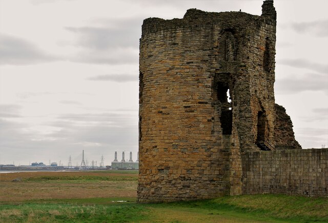
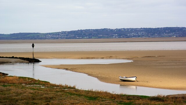
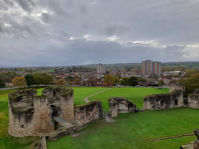
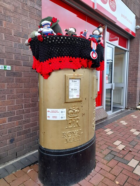
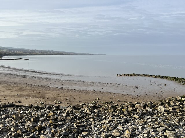
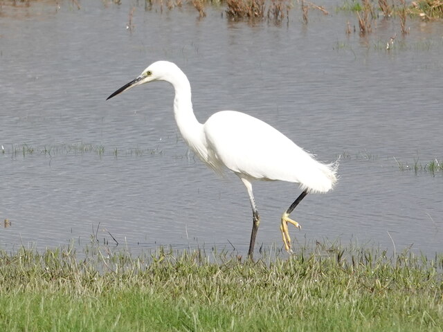
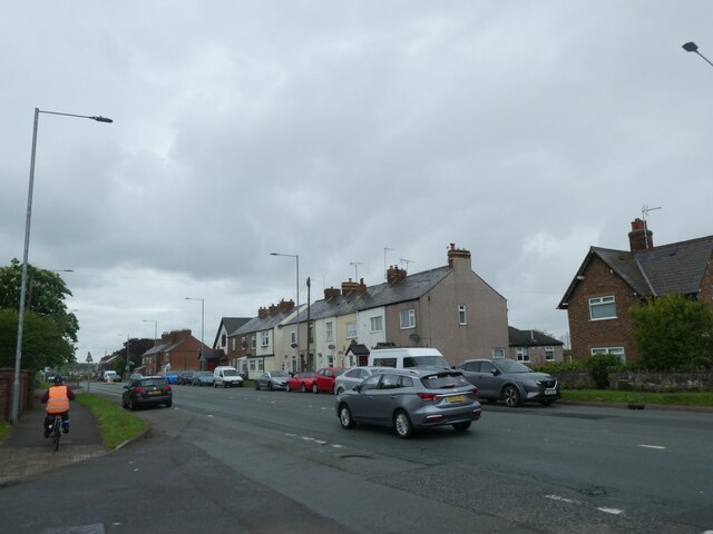
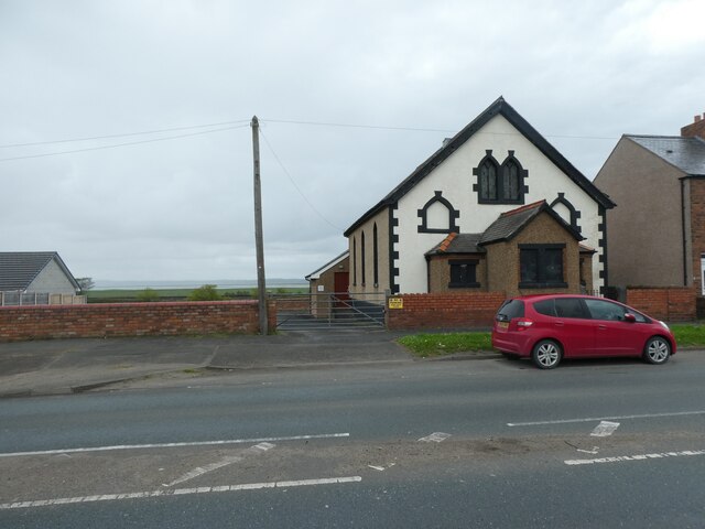
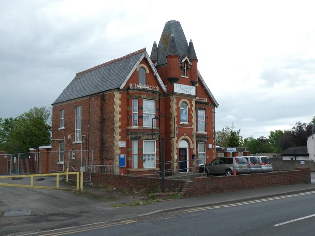
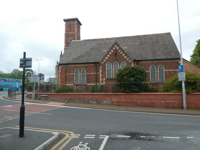
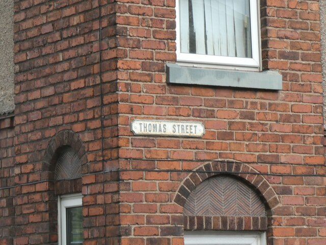
Castell y Fflint Images
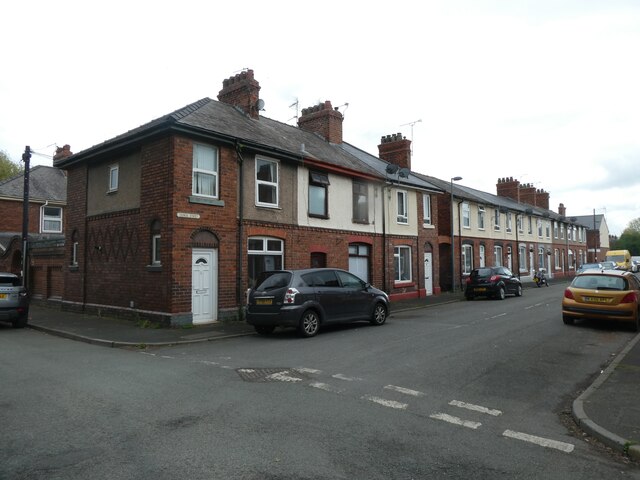
Images are sourced within 2km of 53.2511/-3.1301 or Grid Reference SJ2473. Thanks to Geograph Open Source API. All images are credited.
Castell y Fflint is located at Grid Ref: SJ2473 (Lat: 53.2511, Lng: -3.1301)
Unitary Authority: Flintshire
Police Authority: North Wales
Also known as: Flint Castle
What 3 Words
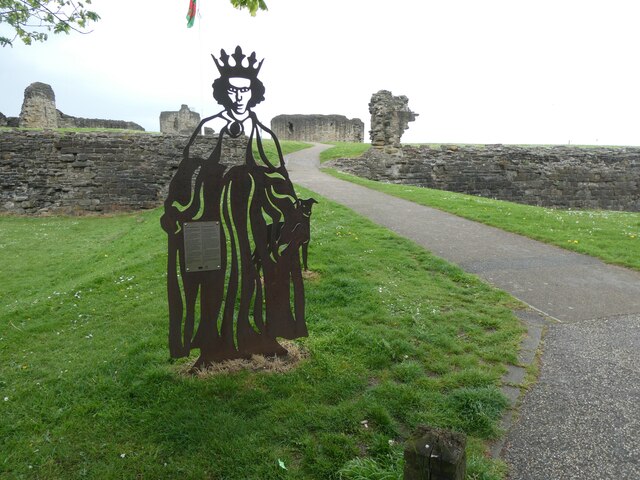
///sculpture.exits.alienated. Near Flint, Flintshire
Nearby Locations
Related Wikis
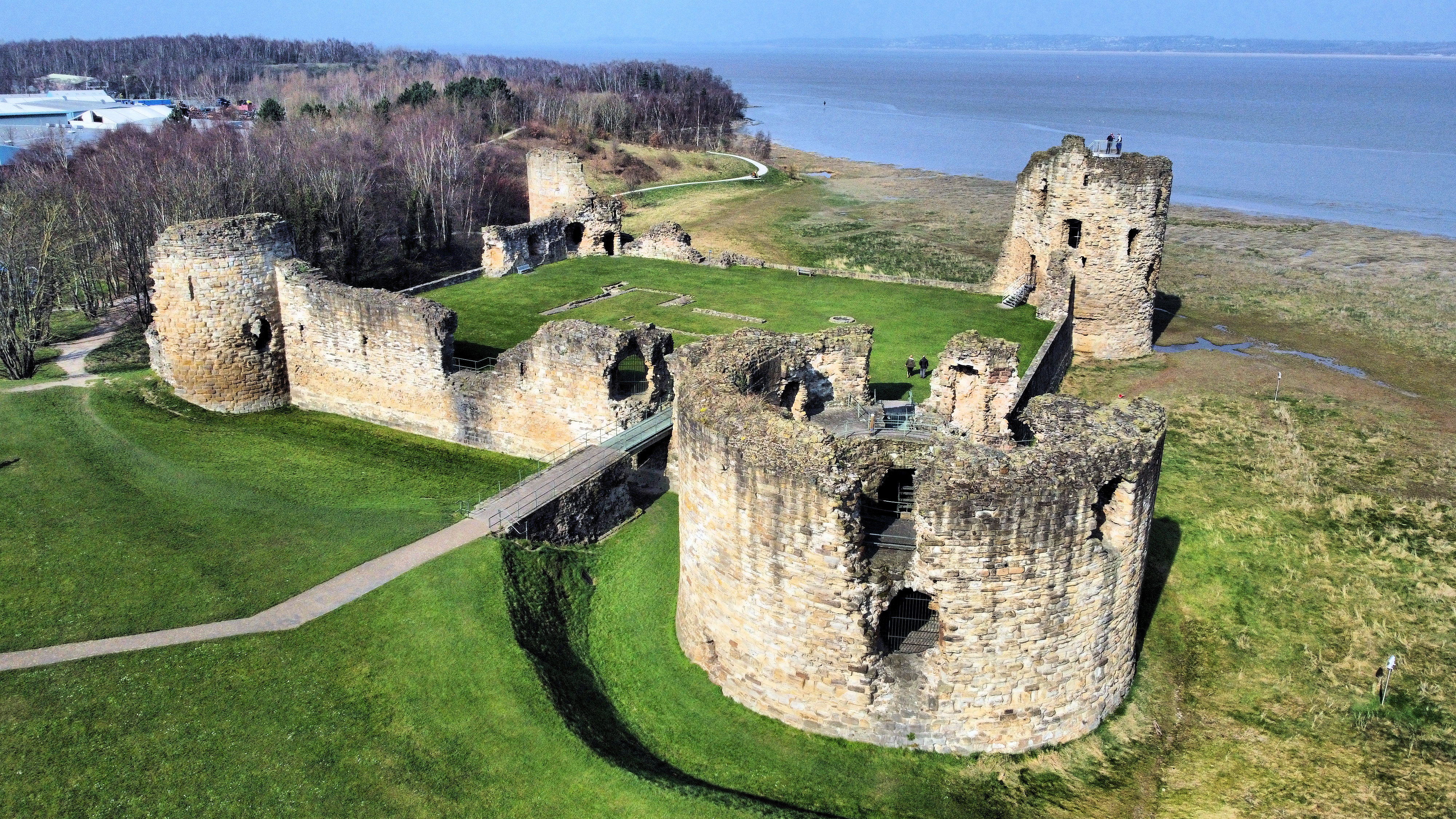
Flint Castle
Flint Castle (Welsh: Castell y Fflint) in Flint, Flintshire, was the first of a series of castles built during King Edward I's campaign to conquer Wales...

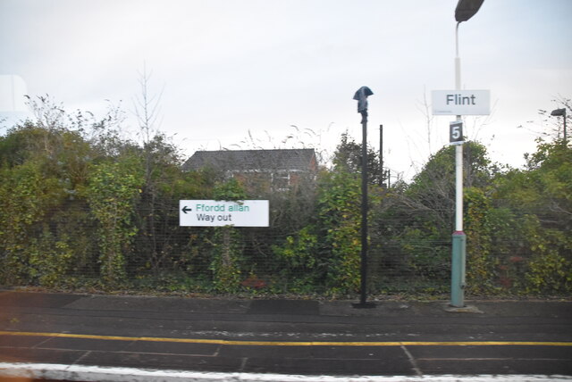
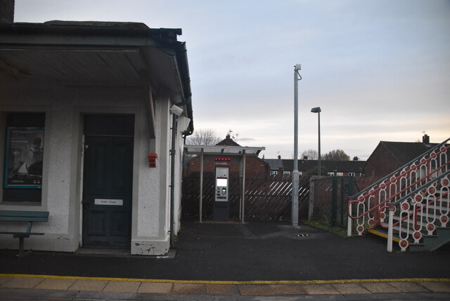
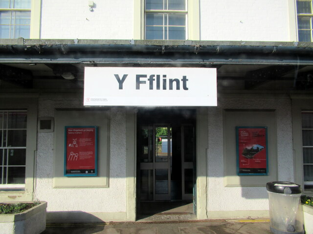
Flint railway station
Flint railway station (Welsh: Y Fflint) serves the town of Flint in Flintshire, North Wales. It is located on the North Wales Coast Line and is managed...

Flint Town Hall
Flint Town Hall (Welsh: Neuadd y Dref Y Fflint) is a municipal structure in the Market Square, Flint, Flintshire, Wales. The town hall, which is the meeting...
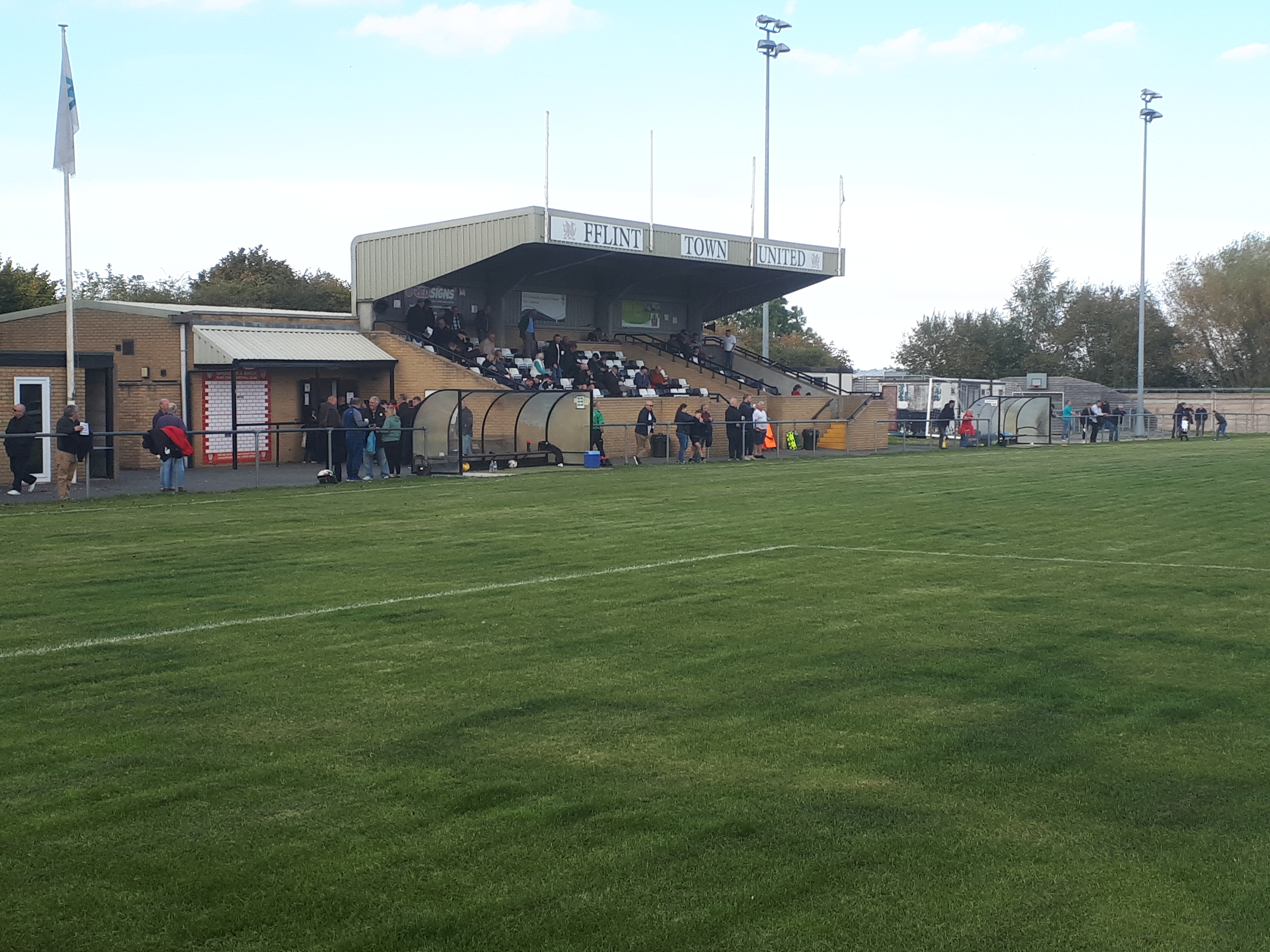
Cae-y-Castell
Cae-y-Castell (currently known as the Essity Stadium for sponsorship reasons) is a football stadium in Flint, Flintshire, Wales. Located on the banks of...
Nearby Amenities
Located within 500m of 53.2511,-3.1301Have you been to Castell y Fflint?
Leave your review of Castell y Fflint below (or comments, questions and feedback).