Castell Harlech

Heritage Site in Merionethshire

Wales

Castell Harlech

Boulders, sand and the railway wall at the south end of Harlech beach
Boulders, sand and the railway wall at the south end of Harlech beach Credit: Richard Law

The requested URL returned error: 429 Too Many Requests

If you have any feedback on the listing, please let us know in the comments section below.

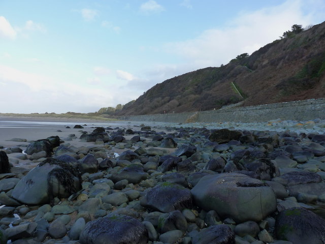
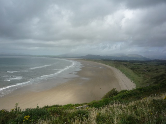
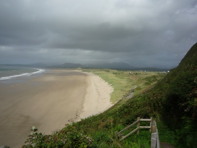
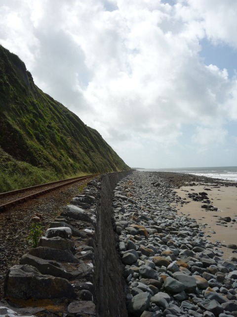
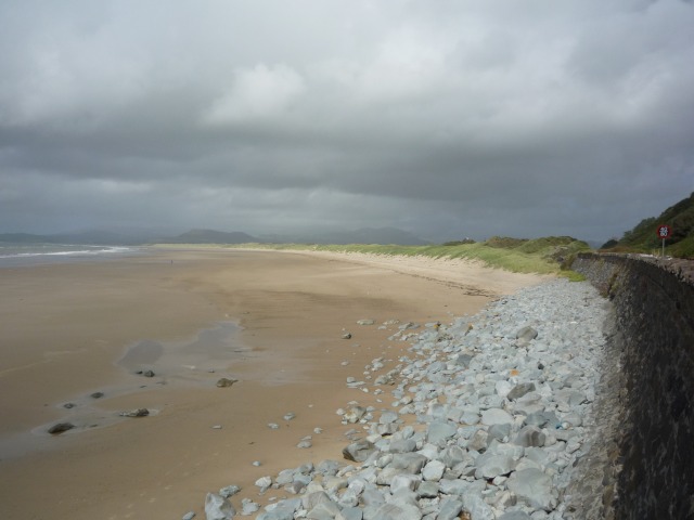
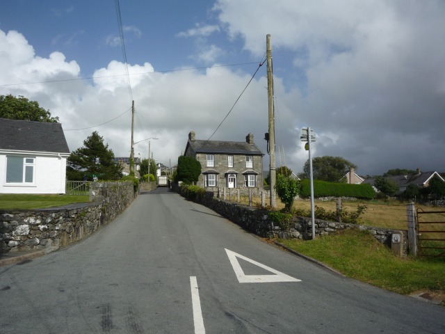
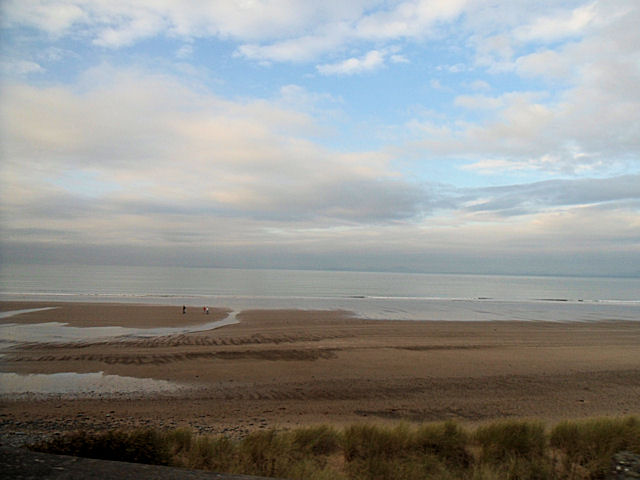
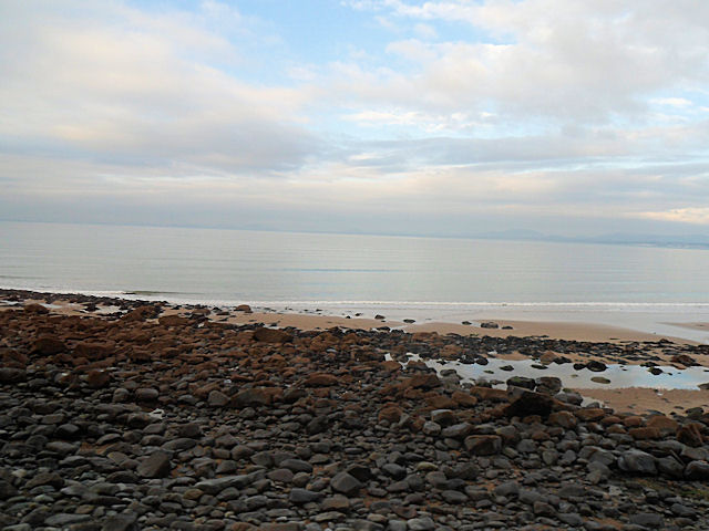
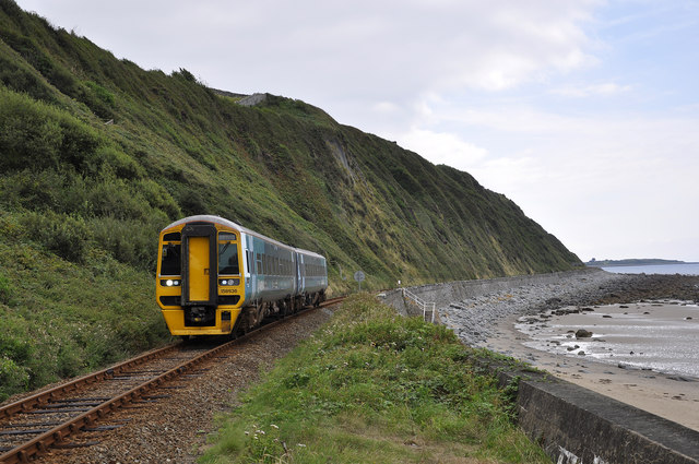
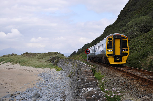
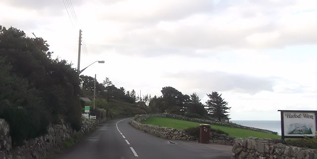
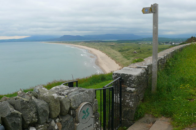
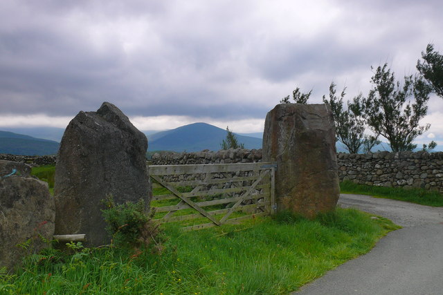
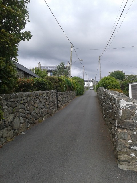
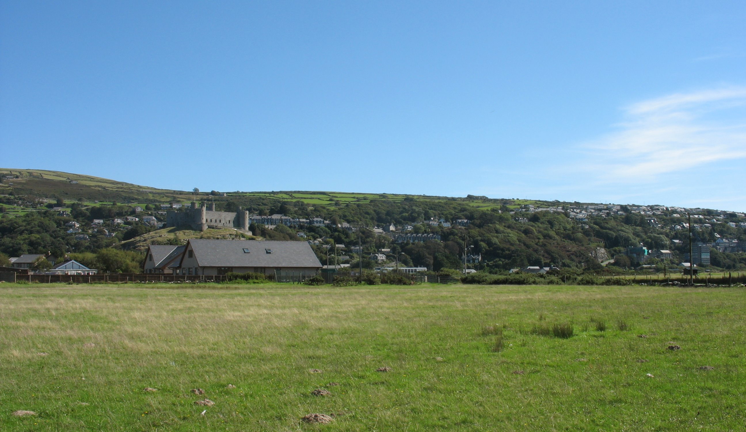
Castell Harlech Images

Images are sourced within 2km of 52.8602/-4.1091 or Grid Reference SH5831. Thanks to Geograph Open Source API. All images are credited.

Boulders, sand and the railway wall at the south end of Harlech beach
Llanfair With a view out towards Shell Island.
Llanfair
With a view out towards Shell Island.
Harlech bay from the cliffs Similar view to <a href="https://www.geograph.org.uk/photo/232543">SH5729 : Harlech Bay</a>.
Harlech bay from the cliffs
Similar view to SH5729 : Harlech Bay.
Descending the cliffs Looking across Harlech beach from the path down the cliffs. The railway is just below.
Descending the cliffs
Looking across Harlech beach from the path down the cliffs. The railway is just below.
Railway along the beach Similar view as <a href="https://www.geograph.org.uk/photo/86562">SH5729 : Railway along Harlech beach</a> and <a href="https://www.geograph.org.uk/photo/232558">SH5729 : Steam at Harlech</a>.
Railway along the beach
Harlech beach Similar view to <a href="https://www.geograph.org.uk/photo/232483">SH5729 : Harlech Beach</a>.
Harlech beach
Similar view to SH5729 : Harlech Beach.
Edge of the rocks Between Llandanwg and Harlech the beach consists of large boulders.
Edge of the rocks
Between Llandanwg and Harlech the beach consists of large boulders.
Looking out to sea Sat on a rock below the cliffs at Harlech looking out to sea.
Looking out to sea
Sat on a rock below the cliffs at Harlech looking out to sea.
Road in Llanfair Heading up to the top road in Harlech.
Road in Llanfair
Heading up to the top road in Harlech.
Beach just north of Llanfair In the foreground the grass is petering out as the railway runs above the beach
Beach just north of Llanfair
In the foreground the grass is petering out as the railway runs above the beach
Edge of the rocks on the beach Just north of Llanfair
Edge of the rocks on the beach
Just north of Llanfair
Train beneath Harlech Cliff 158836 with the 08:08 Birmingham International to Pwllheli service just south of Harlech Station.
Train beneath Harlech Cliff
158836 with the 08:08 Birmingham International to Pwllheli service just south of Harlech Station.
Train beneath Harlech Cliff 158841 with the 11:30 Pwllheli to Birmingham International service. Approaching the footpath that runs down the cliff and crosses the railway to the beach.
Train beneath Harlech Cliff
158841 with the 11:30 Pwllheli to Birmingham International service. Approaching the footpath that runs down the cliff and crosses the railway to the beach.
A496 at entrance to Hafod Wen
Bend in A496 at top of Harlech Cliff
Allt y Mor Allt y Mor, Llanfair tir sy'n perthyn i'r Ymddiriedolaeth Genedlaethol gyda Traeth Harlech yn y cefndir / Allt y Mor which is owned by the National Trust with the Harlech beach in the distance.
Allt y Mor
Allt y Mor, Llanfair tir sy'n perthyn i'r Ymddiriedolaeth Genedlaethol gyda Traeth Harlech yn y cefndir / Allt y Mor which is owned by the National Trust with the Harlech beach in the distance.
Brwyn-Llynau Cerrig enfawr yn ffurfio postiau giat / Huge rocks forming gateposts.
Brwyn-Llynau
Cerrig enfawr yn ffurfio postiau giat / Huge rocks forming gateposts.
Road in Llanfair Looking up the road to Brwyn Llynau in Llanfair.
Road in Llanfair
Looking up the road to Brwyn Llynau in Llanfair.
Show me another place!

Castell Harlech is located at Grid Ref: SH5831 (Lat: 52.8602, Lng: -4.1091)

Unitary Authority: Gwynedd

Police Authority: North Wales

Also known as: Harlech Castle

What 3 Words

///alley.shares.sourced. Near Harlech, Gwynedd

Related Wikis

Harlech Castle

Harlech Castle (Welsh: Castell Harlech; Welsh pronunciation: [kastɛɬ ˈharlɛχ]) in Harlech, Gwynedd, Wales, is a Grade I listed medieval fortification built...

Harlech railway station

Harlech railway station is located at a level crossing on the A496 in the centre of the town of Harlech in Gwynedd, North Wales. The waiting shelters were...

Ysgol Ardudwy

Ysgol Ardudwy is a bilingual secondary school for 11–16 year olds at Harlech, Gwynedd, Wales. It serves the seaside communities of Penrhyndeudraeth, Harlech...

Harlech

Harlech (Welsh pronunciation: [ˈharlɛχ]) is a seaside resort and community in Gwynedd, north Wales and formerly in the historic county of Merionethshire...

Nearby Amenities

Located within 500m of 52.8602,-4.1091
St. David's Golf
Railway: level_crossing
Lat/Long: 52.8582358/-4.1125229
Harlech
Is In: Gwynedd,Wales,UK
Name Br: Harlech
Name Cy: Harlech
Place: town
Population: 1447
Source: npe
Source Name Br: proper translation
Wikidata: Q1024935
Lat/Long: 52.8587665/-4.10745
Harlech
Naptan AtcoCode: 9100HRLC
Network: National Rail
Network Website: https://www.nationalrail.co.uk/stations/hrl/
Network Wikidata: Q26334
Operator: Trafnidiaeth Cymru
Operator Cy: Trafnidiaeth Cymru
Operator En: Transport for Wales
Operator Website: https://tfw.wales/places/stations/harlech
Operator Wikidata: Q104878180
Platforms: 2
Public Transport: station
Railway: station
Ref Crs: HRL
Source: npe
Train: yes
Wikidata: Q1855684
Wikipedia: en:Harlech railway station
Lat/Long: 52.861755/-4.1092654
Source: npe
Lat/Long: 52.8600239/-4.1108845
Source: npe
Lat/Long: 52.8586295/-4.1114249
Source: npe
Lat/Long: 52.8574715/-4.1124879
Source: npe
Lat/Long: 52.8566102/-4.1125746
Source: npe
Lat/Long: 52.8592449/-4.1077163
Source: npe
Lat/Long: 52.859913/-4.1065027
Source: npe
Lat/Long: 52.8605332/-4.1052525
Source: npe
Lat/Long: 52.8586038/-4.1084439
Source: npe
Lat/Long: 52.8581438/-4.1085857
Source: npe
Lat/Long: 52.8578205/-4.1079867
Source: npe
Lat/Long: 52.8574026/-4.1080296
Source: npe
Lat/Long: 52.8573893/-4.1086094
Source: npe
Lat/Long: 52.8574305/-4.1099094
Source: npe
Lat/Long: 52.8571107/-4.1105418
Source: npe
Lat/Long: 52.856473/-4.1109812
Source: npe
Lat/Long: 52.8626639/-4.1096882
Source: npe
Lat/Long: 52.8611927/-4.1103839
Harlech Morfa
Crossing Barrier: half
Crossing Bell: yes
Crossing Chicane: no
Crossing Light: yes
Railway: level_crossing
Lat/Long: 52.8601425/-4.1108334
Pub
Lion Hotel
Wikidata: Q80857741
Lat/Long: 52.8591419/-4.1075279
Bench
Backrest: yes
Lat/Long: 52.8575291/-4.1068019
Access: foot
Barrier: bollard
Lat/Long: 52.8582951/-4.1085953
Tom Parry & Co
Office: estate_agent
Lat/Long: 52.8588608/-4.1082821
Castle Cobblers
Shop: gift
Lat/Long: 52.859338/-4.1076205
Bench
Backrest: yes
Lat/Long: 52.8581904/-4.1072211
Siop Nwyddau Gyfleus Morfa
Brand: Premier
Brand Wikidata: Q7240340
Operator: Premier
Shop: convenience
Website: https://www.premier-stores.co.uk/our-stores/morfa-convenience-store
Lat/Long: 52.8612636/-4.1111333
Pub
The Queens Hotel
Wikidata: Q80857744
Lat/Long: 52.8613637/-4.1100858
Railway: signal
Railway Signal Direction: forward
Railway Signal Position: left
Railway Signal Speed Limit Form: sign
Railway Signal Speed Limit Height: normal
Railway Signal Speed Limit Speed: 40 mph|80 mph
Railway Signal Speed Limit Speed Freight: 40 mph
Railway Signal Speed Limit Speed Passenger: 80 mph
Lat/Long: 52.8598665/-4.1111056
Railway: signal
Railway Signal Direction: backward
Railway Signal Position: right
Railway Signal Speed Limit Form: sign
Railway Signal Speed Limit Height: normal
Railway Signal Speed Limit Speed: 40 mph|80 mph
Railway Signal Speed Limit Speed Freight: 40 mph
Railway Signal Speed Limit Speed Passenger: 80 mph
Lat/Long: 52.8640178/-4.1071202
Post Box
Lat/Long: 52.8574161/-4.1091462
Harlech Station
Railway: crossing
Lat/Long: 52.8614062/-4.1096287
Railway: crossing
Lat/Long: 52.8596819/-4.1112783
Harlech Castle
Railway: crossing
Lat/Long: 52.8586721/-4.1121911
Bus Stop
Bus: yes
Public Transport: platform
Shelter: yes
Lat/Long: 52.8611551/-4.1103053
Shop: newsagent
Lat/Long: 52.8574393/-4.1082316
Railway: switch
Lat/Long: 52.8639408/-4.1071874
Harlech
Public Transport: stop_position
Lat/Long: 52.8616075/-4.1093743
Railway: switch
Lat/Long: 52.8611175/-4.1098975
Harlech Station
Railway: crossing
Lat/Long: 52.8613885/-4.1095866
Entrance: main
Lat/Long: 52.8597844/-4.1121509
Entrance: yes
Lat/Long: 52.8599328/-4.1094737
Entrance: yes
Lat/Long: 52.8599323/-4.1095073
Man Made: flagpole
Lat/Long: 52.8602572/-4.1088517
Street Lamp
Lat/Long: 52.8616178/-4.1095395
Street Lamp
Lat/Long: 52.8616342/-4.1092817
Street Lamp
Lat/Long: 52.8617539/-4.1093988
Street Lamp
Lat/Long: 52.8618117/-4.1090928
Street Lamp
Lat/Long: 52.8620787/-4.1091154
Power: pole
Lat/Long: 52.8631715/-4.1042781
Power: pole
Lat/Long: 52.8635331/-4.1055266
Power: pole
Lat/Long: 52.8637264/-4.1052673
Railway: signal
Railway Signal Direction: backward
Railway Signal Position: left
Railway Signal Whistle: yes
Railway Signal Whistle Form: sign
Lat/Long: 52.8643988/-4.1067563
Barrier: lift_gate
Direction: backward
Lat/Long: 52.8603631/-4.1104637
Source: npe
Lat/Long: 52.8592166/-4.1112074
Tourism: viewpoint
Lat/Long: 52.8575239/-4.1105615
Source: npe
Lat/Long: 52.8578603/-4.1079616
Turning Circle
Lat/Long: 52.8583277/-4.10641
Power: pole
Lat/Long: 52.8636001/-4.1054291
Power: pole
Lat/Long: 52.8637317/-4.1053199
Power: pole
Lat/Long: 52.863601/-4.1054701
"The Two Kings"
Artwork Type: statue
Tourism: artwork
Wikidata: Q105675547
Lat/Long: 52.8594575/-4.1090214
Castle Gift Shop
Shop: gift
Lat/Long: 52.85939/-4.1085872
Power: pole
Lat/Long: 52.8587137/-4.1024672
Power: pole
Lat/Long: 52.858751/-4.1034169
Power: pole
Lat/Long: 52.859196/-4.1043378
Traffic Calming: bump
Lat/Long: 52.8569033/-4.1131853
Harlech & Ardudwy Leisure
Covered: yes
Leisure: swimming_pool
Sport: swimming
Lat/Long: 52.8598024/-4.1123356
Atm
Lat/Long: 52.8583528/-4.1087227
Post Box
Collection Times: Mo-Fr 16:00, Sa 10:00
Post Box Type: pillar
Ref: LL46 70
Lat/Long: 52.8593858/-4.1110821
Post Box
Post Box Type: pillar
Ref: LL46 85
Lat/Long: 52.8589129/-4.1081518
Entrance: main
Lat/Long: 52.8595829/-4.1080482
Cafe
Outdoor Seating: yes
Lat/Long: 52.8591927/-4.1086701
Restaurant
Castle Kebab & Pizza House
Lat/Long: 52.8579643/-4.1084816
Restaurant
Castle Bistro
Lat/Long: 52.8574646/-4.1081135
Historic: memorial
Inscription: They were a wall unto us both by night and day, and we were not hurt
Memorial: war_memorial
Wheelchair: yes
Lat/Long: 52.8581372/-4.1086775
Power: pole
Lat/Long: 52.863665/-4.1050471
Power: pole
Lat/Long: 52.8636336/-4.105313
Barrier: lift_gate
Direction: backward
Lat/Long: 52.8598191/-4.1109729
Barrier: lift_gate
Direction: forward
Lat/Long: 52.860477/-4.1106859
Source: npe
Lat/Long: 52.8585759/-4.111461
Power: pole
Lat/Long: 52.8610351/-4.1023441
Power: pole
Lat/Long: 52.8611658/-4.1025219
Power: pole
Lat/Long: 52.8616768/-4.103218
Power: pole
Lat/Long: 52.8619633/-4.1036232
Power: pole
Lat/Long: 52.8622338/-4.104003
Power: pole
Lat/Long: 52.8624412/-4.1043004
Power: pole
Lat/Long: 52.8628569/-4.1048845
Power: pole
Lat/Long: 52.8633534/-4.1056037
Noexit: yes
Lat/Long: 52.8598923/-4.1063733
Natural: spring
Lat/Long: 52.8601549/-4.1082044
Waterway: waterfall
Lat/Long: 52.8607188/-4.1083914
Access: no
Man Made: water_well
Lat/Long: 52.8601843/-4.1090124
Natural: spring
Lat/Long: 52.8578486/-4.1069177
Power: pole
Lat/Long: 52.8562599/-4.1057877
Power: pole
Lat/Long: 52.8564534/-4.1050143
Power: pole
Lat/Long: 52.8560498/-4.1065196
Power: pole
Lat/Long: 52.855876/-4.1071646
Power: pole
Lat/Long: 52.8589728/-4.1040503
Fast Food
Harlech Tandoori
Cuisine: indian
Lat/Long: 52.8594089/-4.1076881
Hospice at Home
Shop: charity
Lat/Long: 52.8593507/-4.1077203
Entrance: yes
Lat/Long: 52.8587804/-4.1081422
Entrance: yes
Lat/Long: 52.858724/-4.1081942
Power: pole
Lat/Long: 52.8582459/-4.1043457
Power: pole
Lat/Long: 52.8581115/-4.1040747
Power: pole
Lat/Long: 52.8579085/-4.1035836
Power: pole
Lat/Long: 52.8577788/-4.1029764
Power: pole
Lat/Long: 52.8576144/-4.1045834
Power: pole
Lat/Long: 52.8570326/-4.1048057
Bench
Lat/Long: 52.858318/-4.1055519
Bench
Lat/Long: 52.8579233/-4.1052843
Bench
Lat/Long: 52.8581728/-4.1087461
Entrance: yes
Lat/Long: 52.8584194/-4.1086539
Entrance: yes
Lat/Long: 52.8589101/-4.1082443
Entrance: yes
Lat/Long: 52.8588639/-4.1082914
Post Box
Lat/Long: 52.8589772/-4.108144
Bench
Lat/Long: 52.8586767/-4.108834
Bench
Lat/Long: 52.8586256/-4.1088261
Noexit: yes
Lat/Long: 52.8583416/-4.1092223
Source: npe
Lat/Long: 52.8586551/-4.1113387
Source: npe
Lat/Long: 52.8582956/-4.1117143
Source: npe
Lat/Long: 52.8586476/-4.1113077
Entrance: yes
Lat/Long: 52.8562583/-4.1126528
Entrance: yes
Lat/Long: 52.8564511/-4.1131776
Entrance: yes
Lat/Long: 52.8565094/-4.113149
Information: board
Tourism: information
Lat/Long: 52.8570784/-4.1083987
Information: board
Tourism: information
Lat/Long: 52.8572113/-4.1082211
Street Lamp
Lat/Long: 52.8573273/-4.1083252
Street Lamp
Lat/Long: 52.8574081/-4.1079513
Power: pole
Lat/Long: 52.85668/-4.1088954
Power: pole
Lat/Long: 52.8564696/-4.108915
Power: pole
Lat/Long: 52.8563556/-4.1093597
Power: pole
Lat/Long: 52.8560908/-4.1099926
Power: pole
Lat/Long: 52.8562458/-4.1096222
Power: pole
Lat/Long: 52.8564386/-4.1091714
Barrier: stile
Lat/Long: 52.8568862/-4.1116554
Bench
Lat/Long: 52.8574365/-4.1104051
Bench
Lat/Long: 52.8574322/-4.1103502
Bench
Lat/Long: 52.8574185/-4.1106155
Bench
Lat/Long: 52.8575554/-4.11049
Natural: cave_entrance
Lat/Long: 52.8571949/-4.1114519
Barrier: bollard
Lat/Long: 52.8562278/-4.1078391
Barrier: bollard
Lat/Long: 52.8562133/-4.107825
Barrier: bollard
Lat/Long: 52.856197/-4.1078115
Barrier: bollard
Lat/Long: 52.8561805/-4.1078018
Barrier: bollard
Lat/Long: 52.8561638/-4.1077955
Barrier: bollard
Lat/Long: 52.8561456/-4.1077916
Barrier: bollard
Lat/Long: 52.8561288/-4.1077918
Barrier: bollard
Lat/Long: 52.8561115/-4.1077936
Barrier: bollard
Lat/Long: 52.8560932/-4.1077974
Power: pole
Lat/Long: 52.8597206/-4.1024537
Power: pole
Lat/Long: 52.8591455/-4.1030132
Power: pole
Lat/Long: 52.860143/-4.1020223
Power: pole
Lat/Long: 52.8584263/-4.1045982
Power: pole
Lat/Long: 52.8598406/-4.1042967
Noexit: yes
Lat/Long: 52.8584159/-4.1037999
Noexit: yes
Lat/Long: 52.8584275/-4.103787
Board Type: history
Description: Plaque - Inscription: Bedyddfan Y Bedyddwyr Albanaidd Adeiladwyd 1841 ______ Scotch Baptist Baptism Well Built 1841
Information: board
Tourism: information
Lat/Long: 52.8584153/-4.1037666
Man Made: flagpole
Lat/Long: 52.8586314/-4.1132799
Direction: 184
Generator Method: photovoltaic
Generator Output Electricity: yes
Generator Solar Modules: 14
Generator Source: solar
Generator Type: solar_photovoltaic_panel
Location: roof
Power: generator
Lat/Long: 52.8563452/-4.107146
Direction: 190
Generator Method: photovoltaic
Generator Output Electricity: yes
Generator Solar Modules: 14
Generator Source: solar
Generator Type: solar_photovoltaic_panel
Location: roof
Power: generator
Lat/Long: 52.8595534/-4.1078641
Direction: SSW
Generator Method: photovoltaic
Generator Output Electricity: yes
Generator Solar Modules: 14
Generator Source: solar
Generator Type: solar_photovoltaic_panel
Location: roof
Power: generator
Lat/Long: 52.8589583/-4.1070883
Direction: SSW
Generator Method: photovoltaic
Generator Output Electricity: yes
Generator Solar Modules: 8
Generator Source: solar
Generator Type: solar_photovoltaic_panel
Location: roof
Power: generator
Lat/Long: 52.8622408/-4.1096659
Bicycle Parking
Bicycle Parking: stands
Capacity: 16
Covered: yes
Lat/Long: 52.8595592/-4.1079055
Bus Stop
Bus: yes
Public Transport: platform
Shelter: yes
Lat/Long: 52.8570265/-4.1077863
Bus Stop
Bus: yes
Public Transport: platform
Shelter: no
Lat/Long: 52.8610244/-4.1105027
The data included in this document is from www.openstreetmap.org. The data is made available under ODbL.

Have you been to Castell Harlech?

Leave your review of Castell Harlech below (or comments, questions and feedback).