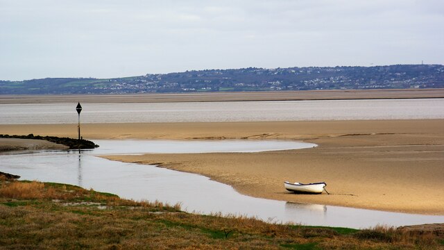
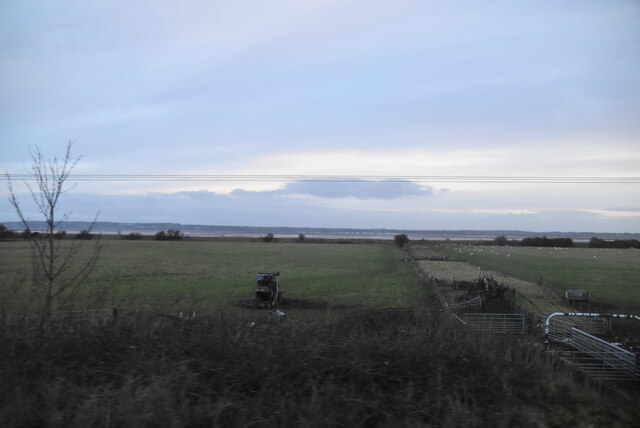
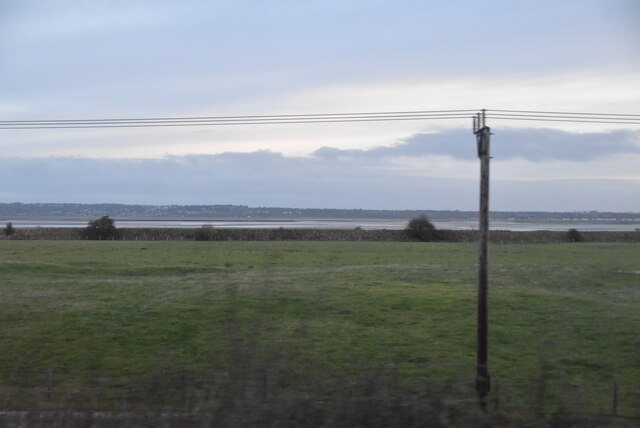
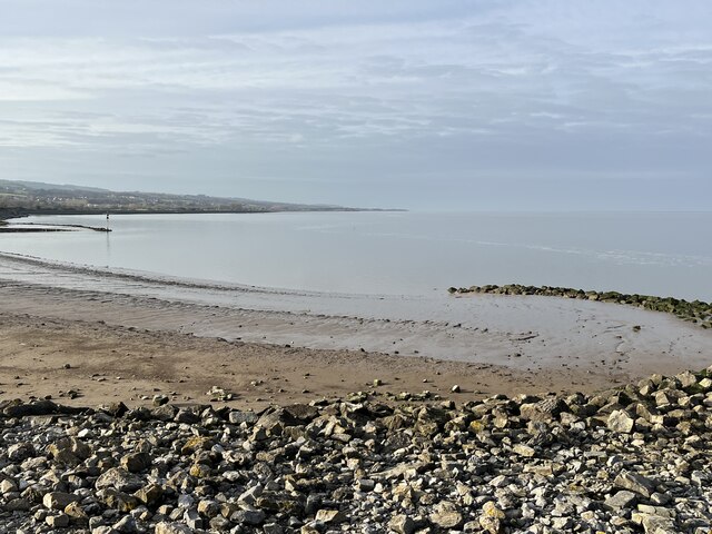
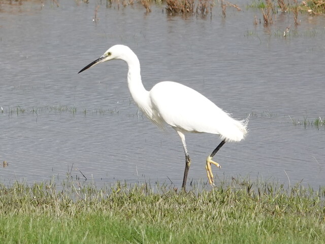
Flint Marsh
Coastal Marsh, Saltings in Flintshire
Wales
Flint Marsh
The requested URL returned error: 429 Too Many Requests
If you have any feedback on the listing, please let us know in the comments section below.
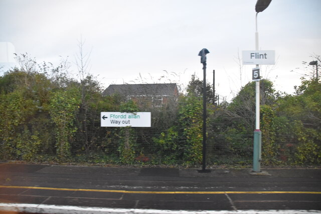
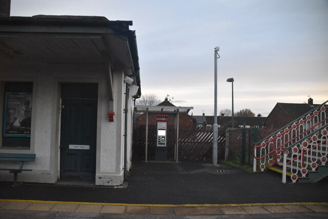
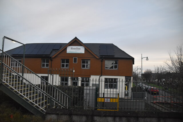
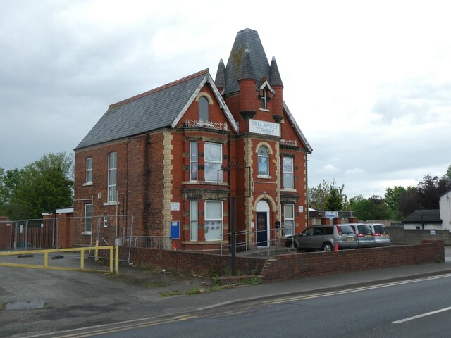
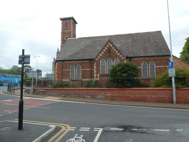
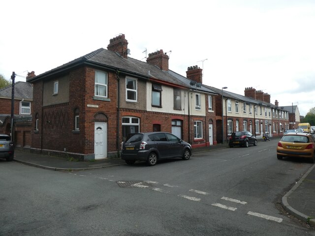
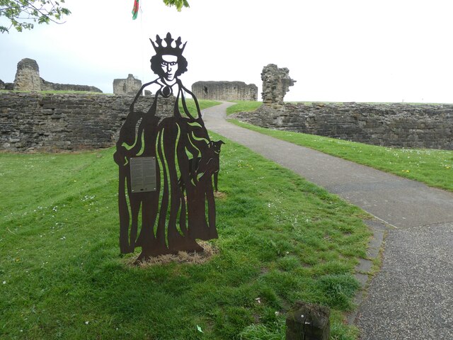
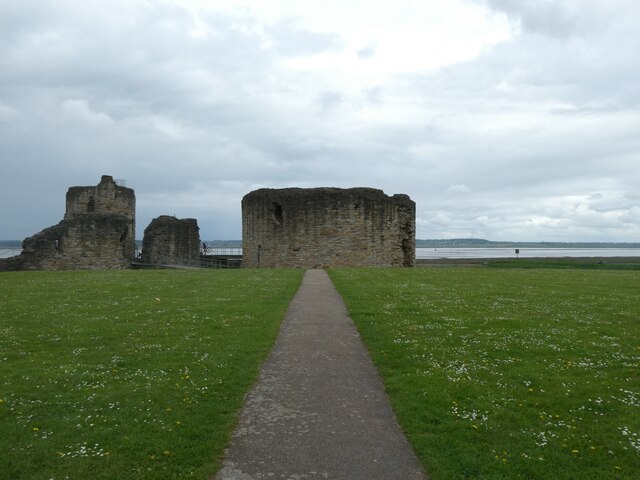
Flint Marsh Images
Images are sourced within 2km of 53.256769/-3.1404549 or Grid Reference SJ2473. Thanks to Geograph Open Source API. All images are credited.
Flint Marsh is located at Grid Ref: SJ2473 (Lat: 53.256769, Lng: -3.1404549)
Unitary Authority: Flintshire
Police Authority: North Wales
What 3 Words
///update.poems.coasters. Near Flint, Flintshire
Nearby Locations
Related Wikis

Flint Town Hall
Flint Town Hall (Welsh: Neuadd y Dref Y Fflint) is a municipal structure in the Market Square, Flint, Flintshire, Wales. The town hall, which is the meeting...
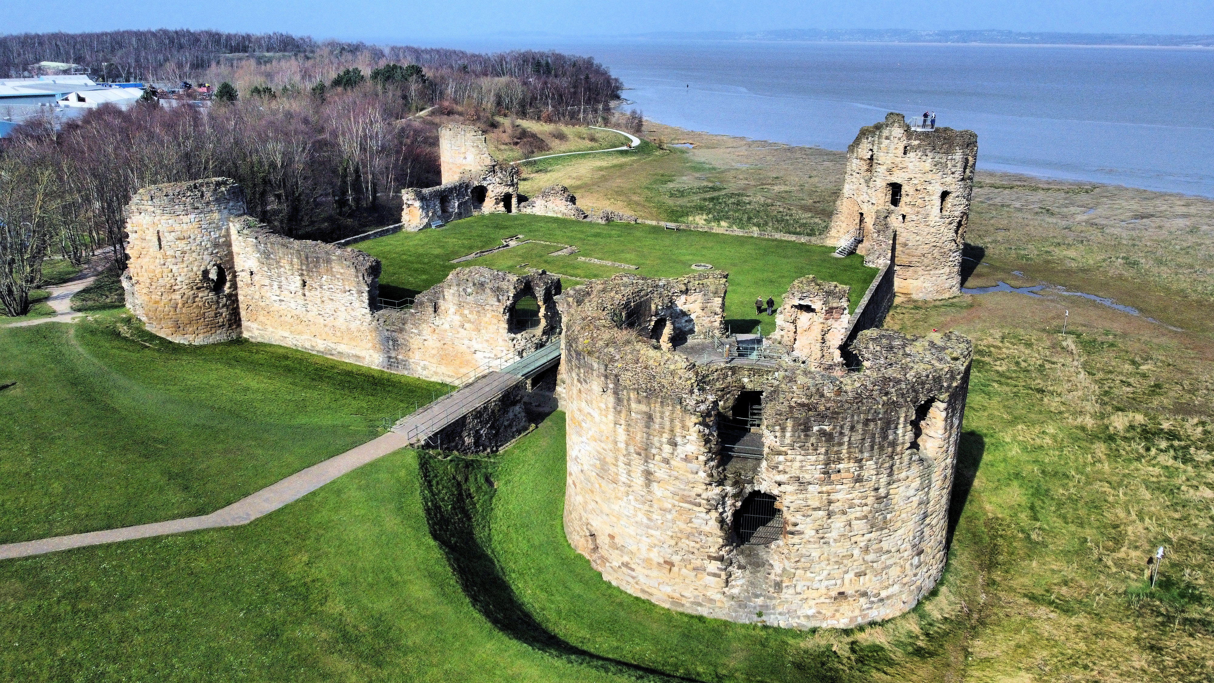
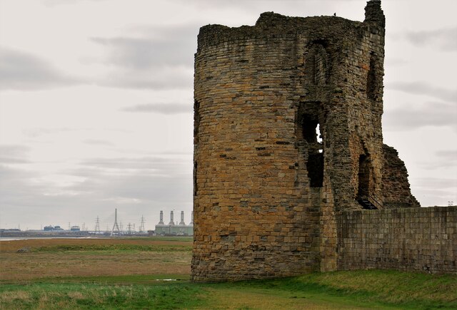
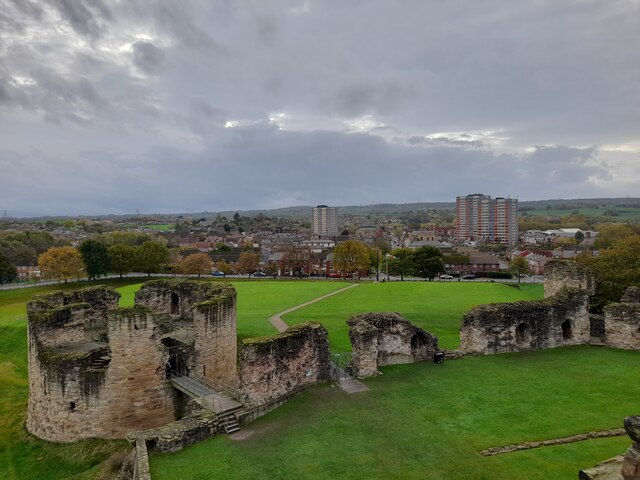
Flint Castle
Flint Castle (Welsh: Castell y Fflint) in Flint, Flintshire, was the first of a series of castles built during King Edward I's campaign to conquer Wales...

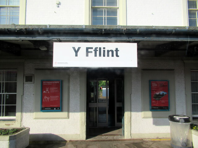
Flint railway station
Flint railway station (Welsh: Y Fflint) serves the town of Flint in Flintshire, North Wales. It is located on the North Wales Coast Line and is managed...

Flint, Flintshire
Flint (Welsh: Y Fflint) is a town and community in Flintshire, Wales, lying on the estuary of the River Dee. It is the former county town of Flintshire...
Nearby Amenities
Located within 500m of 53.256769,-3.1404549Have you been to Flint Marsh?
Leave your review of Flint Marsh below (or comments, questions and feedback).