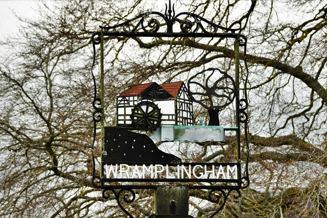
Wramplingham

Civil Parish in Norfolk South Norfolk

England

Wramplingham

Carleton Forehoe: Wymondham Road
Carleton Forehoe: Wymondham Road Credit: Michael Garlick

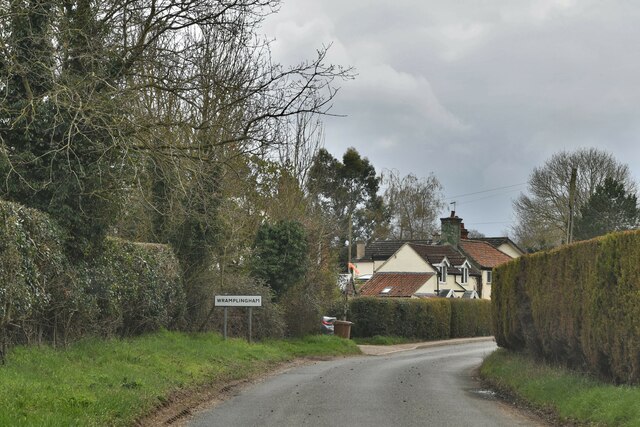
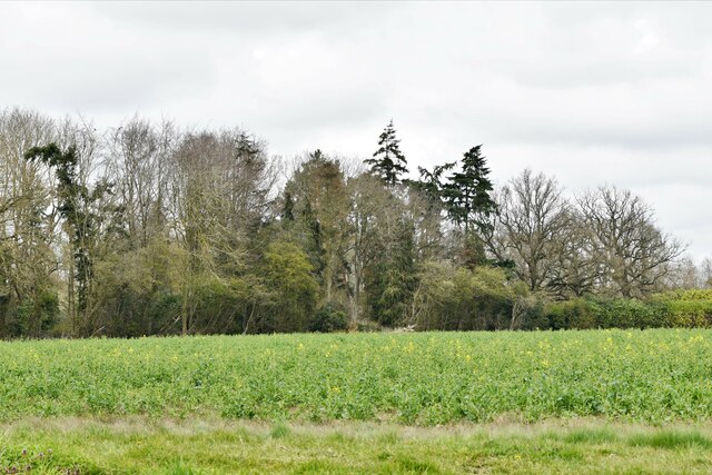
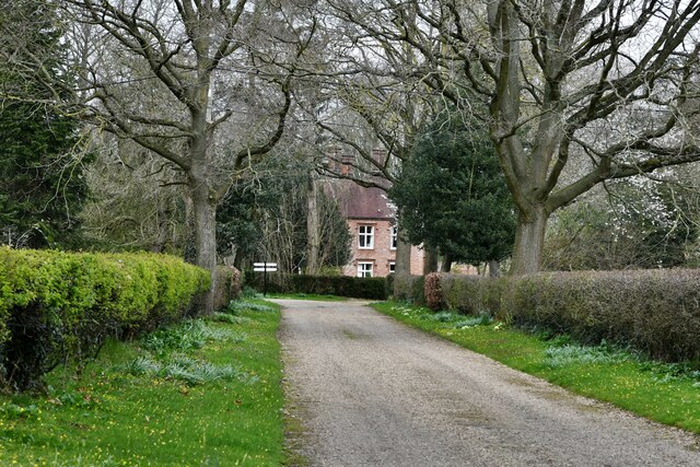
Wramplingham is a civil parish located in the county of Norfolk, England. It is situated approximately 9 miles southwest of the city of Norwich. The parish covers an area of about 4 square miles and is surrounded by picturesque countryside, characterized by rolling hills and agricultural land.

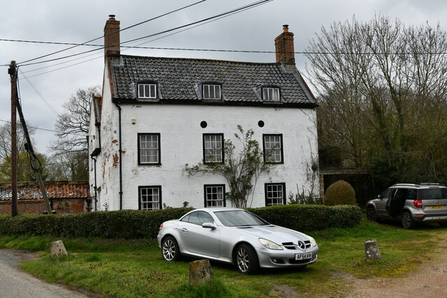
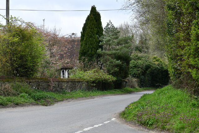
The village of Wramplingham itself is small and has a population of around 200 residents. It is primarily composed of traditional brick and flint buildings, giving it a charming and quintessentially English feel. The parish is known for its well-preserved historic architecture, with several listed buildings dating back to the 17th and 18th centuries.

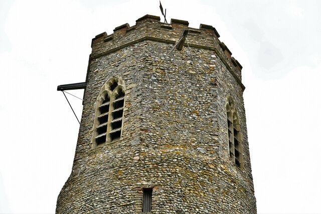
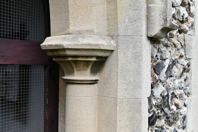
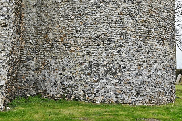
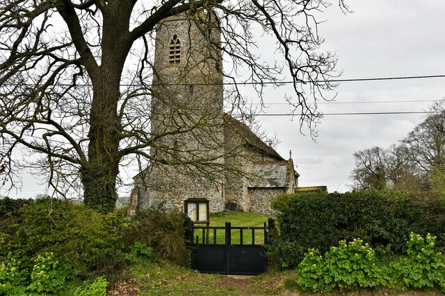
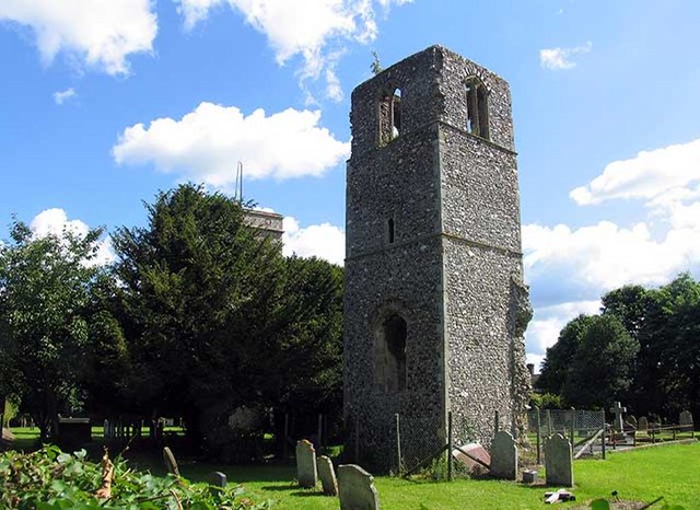
The heart of the village is St. Peter's Church, a Grade I listed building that dates back to the 14th century. The church is notable for its medieval wall paintings and beautiful stained glass windows. It serves as a focal point for the community and holds regular services.

While Wramplingham is a predominantly residential area, it also benefits from its proximity to the city of Norwich, which offers a wider range of amenities such as shopping centers, restaurants, and entertainment venues. This makes it an attractive place for those seeking a rural lifestyle while still having access to urban conveniences.

The surrounding countryside provides ample opportunities for outdoor activities, including walking, cycling, and horse riding. The parish is also close to several nature reserves and parks, allowing residents and visitors to enjoy the natural beauty of the area.

Overall, Wramplingham offers a peaceful and idyllic setting, with a strong sense of community and a rich historical heritage.

If you have any feedback on the listing, please let us know in the comments section below.
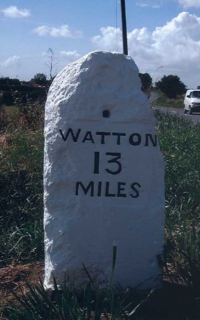
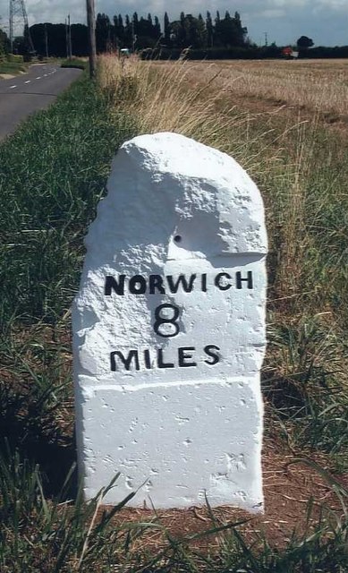
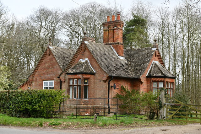
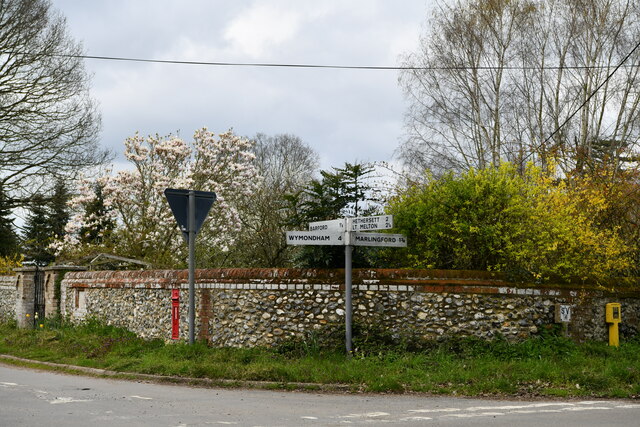
Wramplingham Images

Images are sourced within 2km of 52.610052/1.122611 or Grid Reference TG1105. Thanks to Geograph Open Source API. All images are credited.

Carleton Forehoe: Wymondham Road
Old Milestone (east face) by the B1108, Watton Road, Barford Parish Carved stone post by the B1108, in parish of Barford (SOUTH NORFOLK District), 50yds West of Hill Farm, on verge, on South side of road. Erected by the Norwich & Watton turnpike trust in the 19th century. 

Inscription reads:- : WATTON / 13 / MILES : : NORWICH / 8 / MILES : 
Carved benchmark on top rear.

Listed.  

Milestone Society National ID: NO_NW08.
Old Milestone (east face) by the B1108, Watton Road, Barford Parish
Carved stone post by the B1108, in parish of Barford (SOUTH NORFOLK District), 50yds West of Hill Farm, on verge, on South side of road. Erected by the Norwich & Watton turnpike trust in the 19th century. Inscription reads:- : WATTON / 13 / MILES : : NORWICH / 8 / MILES : Carved benchmark on top rear. Listed. Milestone Society National ID: NO_NW08.
Old Milestone (west face) by the B1108, Watton Road, Barford Parish Carved stone post by the B1108, in parish of Barford (SOUTH NORFOLK District), 50yds West of Hill Farm, on verge, on South side of road. Erected by the Norwich & Watton turnpike trust in the 19th century. 

Inscription reads:- : WATTON / 13 / MILES : : NORWICH / 8 / MILES : 
Carved benchmark on top rear.

Listed.  

Milestone Society National ID: NO_NW08.
Old Milestone (west face) by the B1108, Watton Road, Barford Parish
Carved stone post by the B1108, in parish of Barford (SOUTH NORFOLK District), 50yds West of Hill Farm, on verge, on South side of road. Erected by the Norwich & Watton turnpike trust in the 19th century. Inscription reads:- : WATTON / 13 / MILES : : NORWICH / 8 / MILES : Carved benchmark on top rear. Listed. Milestone Society National ID: NO_NW08.
Great Melton: Red Lodge
Great Melton: Crossroads
Wramplingham: Entering the village from the north
Wramplingham: The mill pond
Wramplingham: Village sign situated in the mill pond
Wramplingham: The mill pond, village sign and River House
Wramplingham: The Mill House
Wramplingham, St. Peter and St. Paul's Church: Round tower with a polygonal top
Great Melton: Oil seed rape crop beginning to flower
Great Melton, Landlow Lane: The Old School
Great Melton, The Old Rectory
Wramplingham, St. Peter and St. Paul's Church: The chancel southern aspect
Wramplingham, St. Peter and St. Paul's Church: South porch right capital
Wramplingham, St. Peter and St. Paul's Church: Round tower base detail
Wramplingham, St. Peter and St. Paul's Church: Western aspect
Show me another place!

Wramplingham is located at Grid Ref: TG1105 (Lat: 52.610052, Lng: 1.122611)

Administrative County: Norfolk

District: South Norfolk

Police Authority: Norfolk

What 3 Words

///hits.mainframe.refuse. Near Hethersett, Norfolk

Related Wikis

Wramplingham

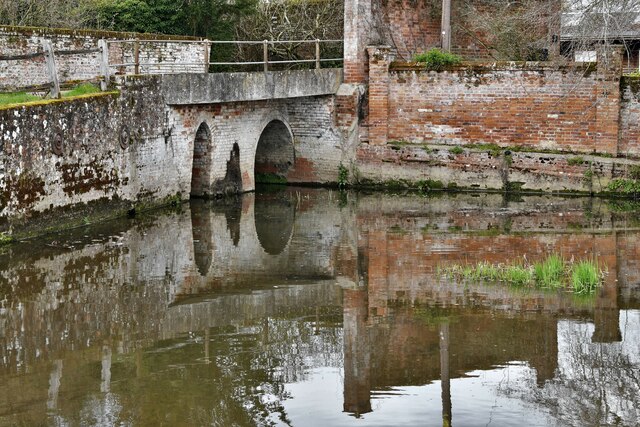
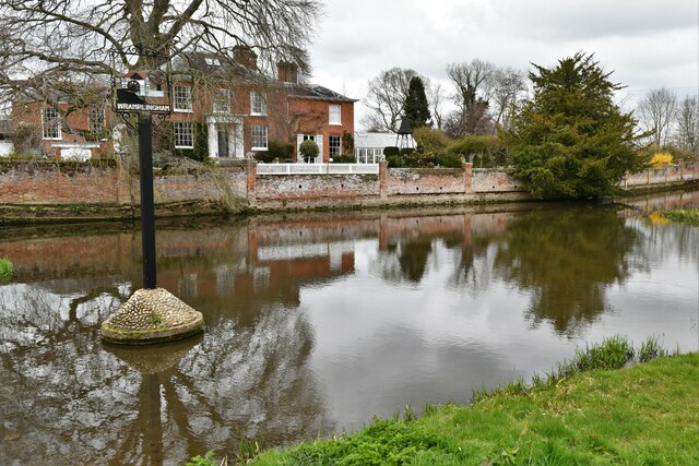
Wramplingham is a village and civil parish in the English county of Norfolk. It is situated on the River Tiffey some 4 miles (6.4 km) north of Wymondham...

Barford, Norfolk

Barford is a village and civil parish in the English county of Norfolk, situated some 4 miles (6 km) north of Wymondham and 8 miles (13 km) west of Norwich...

River Tiffey

The River Tiffey is a small river in Norfolk, England and a tributary of the River Yare. It rises near Hethel and passes through Wymondham before flowing...

Great Melton

Great Melton is a civil parish in the English county of Norfolk. It covers an area of 10.24 km2 (3.95 sq mi) and had a population of 148 in 59 households...

Nearby Amenities

Located within 500m of 52.610052,1.122611
Wramplingham Road, opp
Naptan AtcoCode: 2900W502
Naptan Bearing: SW
Naptan BusStopType: CUS
Naptan CommonName: Wramplingham Road
Naptan Indicator: opp
Naptan Landmark: Mill House
Naptan Locality: Wramplingham
Naptan NaptanCode: nfogjajp
Naptan ShortCommonName: Wramplingham Road
Naptan Street: Wramplingham Road
Naptan Verified: no
Note: Street should be 'The Street'
Source: naptan_import
Lat/Long: 52.6143426/1.1207509
War Memorial
Description: Tall stone pillar toped with a cross, plinth inscribed on four faces, hard to read.
Historic: memorial
Lat/Long: 52.6137995/1.1185224
Entrance: main
Lat/Long: 52.6110599/1.1197545
Booth: K6
Covered: booth
Disused Amenity: telephone
Listed Status: Grade II
Man Made: telephone_box
Note: No phone inside
Lat/Long: 52.6143555/1.1208155
Post Box
Collection Times: Mo-Fr 16:30; Sa 10:30
Post Box Mounting: telegraph_pole
Post Box Type: lamp
Ref: NR18 1818
Royal Cypher: EIIR
Royal Cypher Wikidata: Q33102113
Lat/Long: 52.6143498/1.1207881
Bench
Backrest: yes
Material: wood
Seats: 3
Lat/Long: 52.6111812/1.1201294
The data included in this document is from www.openstreetmap.org. The data is made available under ODbL.

Have you been to Wramplingham?

Leave your review of Wramplingham below (or comments, questions and feedback).