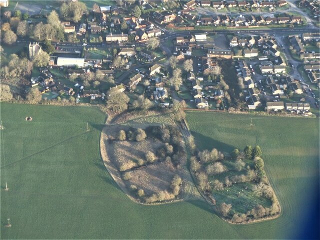
Wragby

Civil Parish in Lincolnshire East Lindsey

England

Wragby

The Ivy public house and Corndolly café
The Ivy public house and Corndolly café Credit: David Lally

Wragby is a small civil parish located in the county of Lincolnshire, England. Situated approximately 11 miles northeast of the city of Lincoln, it is nestled in the heart of the Lincolnshire Wolds, an Area of Outstanding Natural Beauty.

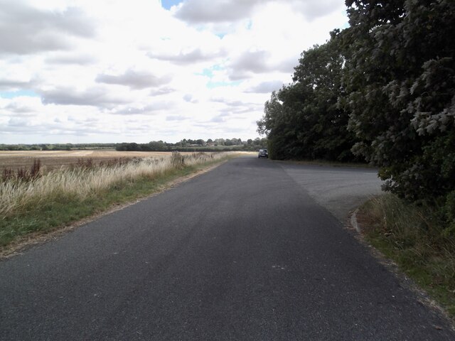
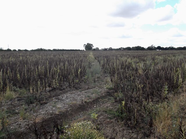
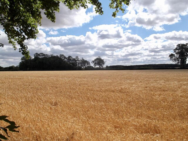
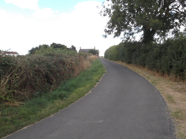
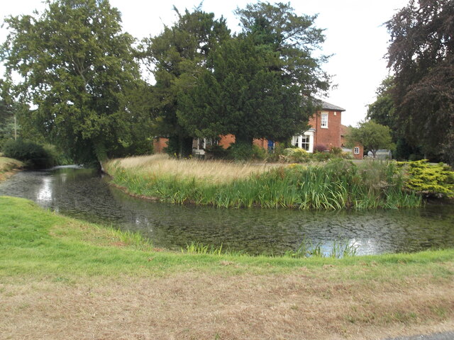
The village of Wragby is predominantly rural, with a population of around 1,700 residents. It is known for its picturesque countryside, charming cottages, and traditional English village atmosphere. The parish is surrounded by rolling hills, lush green fields, and meandering streams, making it an idyllic setting for nature enthusiasts and hikers.

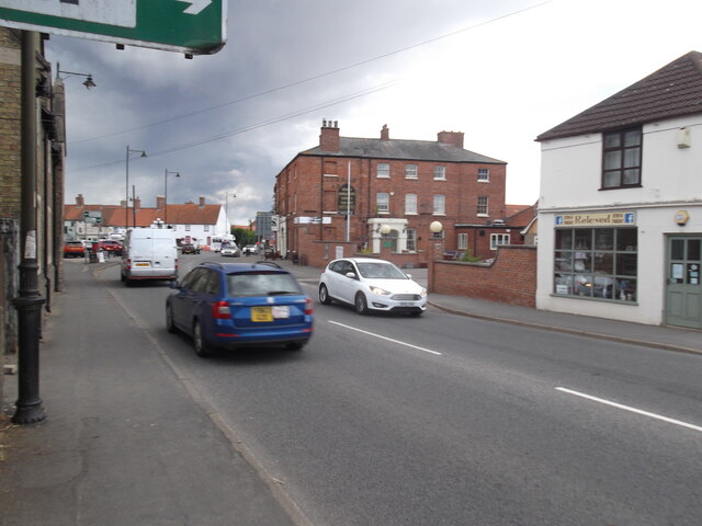
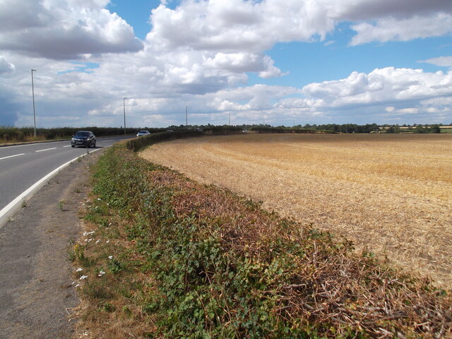
Wragby is well-connected to nearby towns and cities via road networks, with the A158 running through the village, providing easy access to Lincoln, Skegness, and the coastal town of Mablethorpe. The village also has a bus service, offering convenient transportation options for residents and visitors alike.

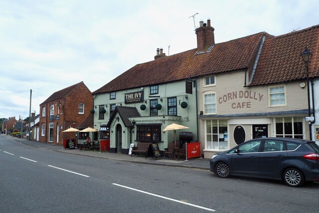
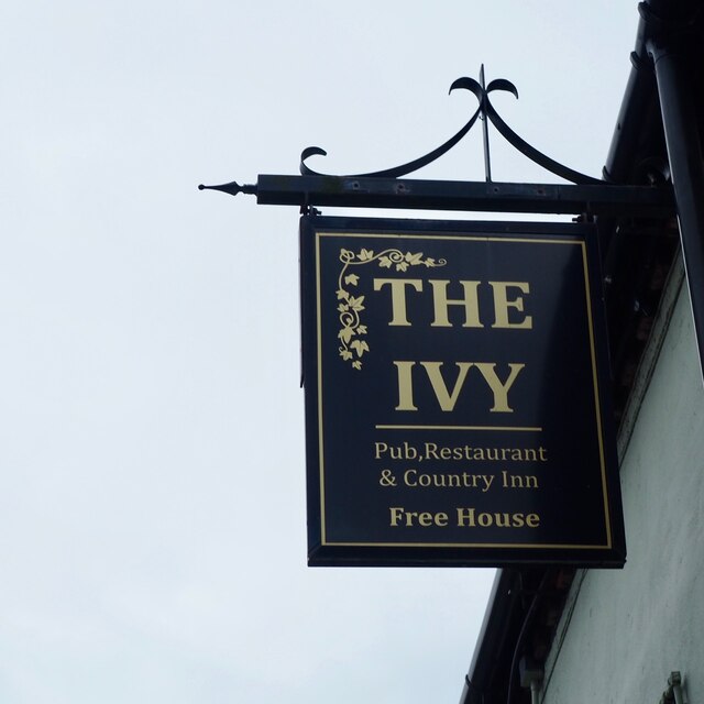
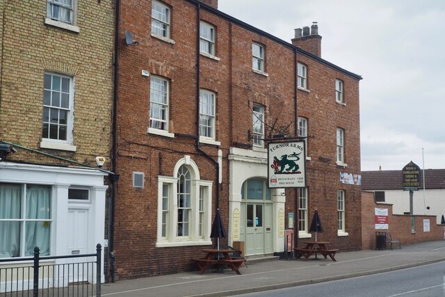
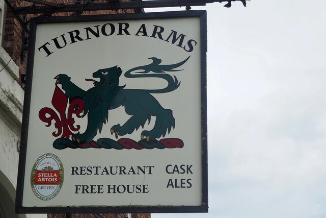
Within the village, there are a number of amenities and facilities available. These include a primary school, a doctor's surgery, a post office, several shops, and a range of local businesses. Residents can also enjoy recreational activities at the local sports and social club, which offers facilities for football, cricket, and other outdoor sports.

Overall, Wragby offers a peaceful and scenic environment, perfect for those seeking a tranquil rural lifestyle. Its close proximity to larger towns and cities ensures that residents can easily access a wider range of services and amenities when needed.

If you have any feedback on the listing, please let us know in the comments section below.
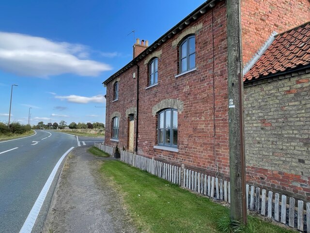
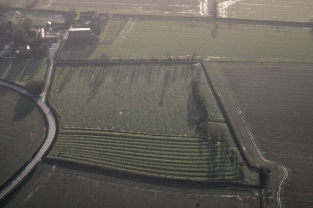
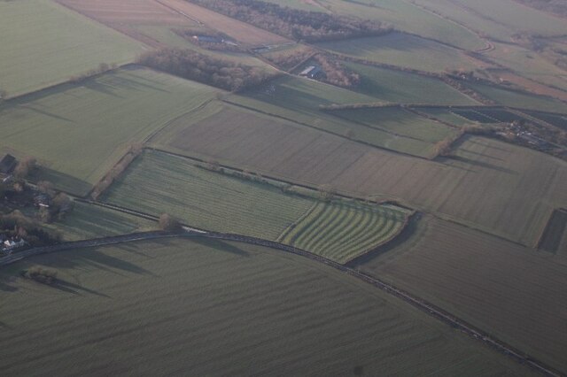
Wragby Images

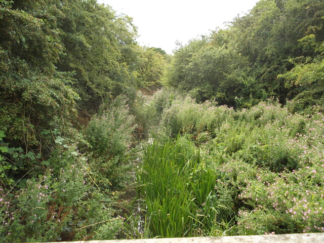
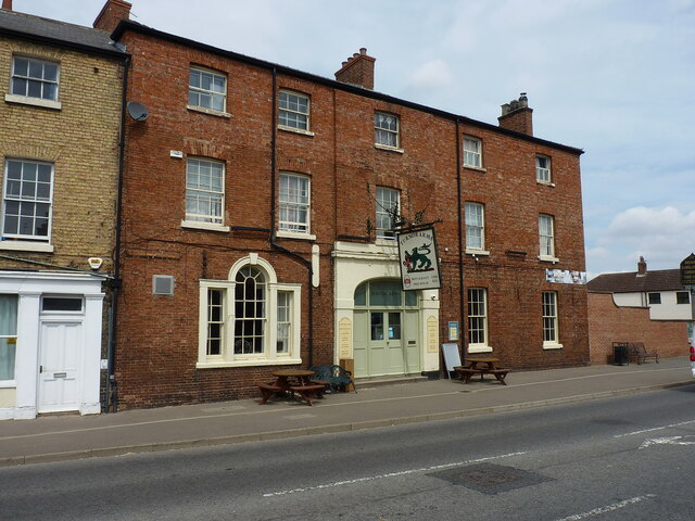
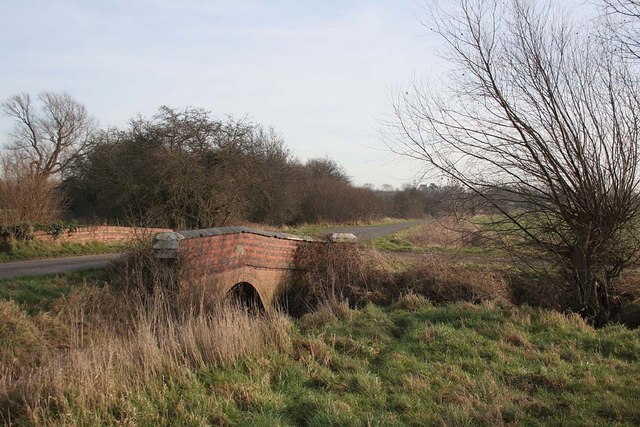
Images are sourced within 2km of 53.288821/-0.296248 or Grid Reference TF1378. Thanks to Geograph Open Source API. All images are credited.

The Ivy public house and Corndolly café
The Turnor Arms
The Turnor Arms
The sign of The Turnor Arms See: <a href="https://www.geograph.org.uk/photo/6933995">TF1378 : The Turnor Arms</a>
The sign of The Turnor Arms
Cut Mark: Langton by Wragby, Rising Sun Farm Cut bench mark on the frontage of the farm building, facing the A158.  See <a title="https://www.geograph.org.uk/photo/6972663" href="https://www.geograph.org.uk/photo/6972663">Link</a> for a wider view and <span class="nowrap"><a title="https://www.bench-marks.org.uk/bm23078" rel="nofollow ugc noopener" href="https://www.bench-marks.org.uk/bm23078">Link</a><img style="margin-left:2px;" alt="External link" title="External link - shift click to open in new window" src="https://s1.geograph.org.uk/img/external.png" width="10" height="10"/></span> for details of the mark.
Cut Mark: Langton by Wragby, Rising Sun Farm
Cut bench mark on the frontage of the farm building, facing the A158. See Link for a wider view and LinkExternal link for details of the mark.
Langton by Wragby, Rising Sun Farm There is a cut bench mark on the frontage of the farm building at the far end, facing the A158.  See <a title="https://www.geograph.org.uk/photo/6972661" href="https://www.geograph.org.uk/photo/6972661">Link</a> for a close-up view and <span class="nowrap"><a title="https://www.bench-marks.org.uk/bm23078" rel="nofollow ugc noopener" href="https://www.bench-marks.org.uk/bm23078">Link</a><img style="margin-left:2px;" alt="External link" title="External link - shift click to open in new window" src="https://s1.geograph.org.uk/img/external.png" width="10" height="10"/></span> for details of the mark.
Langton by Wragby, Rising Sun Farm
There is a cut bench mark on the frontage of the farm building at the far end, facing the A158. See Link for a close-up view and LinkExternal link for details of the mark.
Ridge and furrow, Langton by Wragby: aerial 2022 (2) See <span class="nowrap"><a title="https://www.heritagegateway.org.uk/Gateway/Results_Single.aspx?uid=MLI88904&resourceID=1006" rel="nofollow ugc noopener" href="https://www.heritagegateway.org.uk/Gateway/Results_Single.aspx?uid=MLI88904&resourceID=1006">Link</a><img style="margin-left:2px;" alt="External link" title="External link - shift click to open in new window" src="https://s1.geograph.org.uk/img/external.png" width="10" height="10"/></span>
Ridge and furrow, Langton by Wragby: aerial 2022 (2)
See LinkExternal link
Ridge and furrow, Langton by Wragby: aerial 2022 (1) See <span class="nowrap"><a title="https://www.heritagegateway.org.uk/Gateway/Results_Single.aspx?uid=MLI88904&resourceID=1006" rel="nofollow ugc noopener" href="https://www.heritagegateway.org.uk/Gateway/Results_Single.aspx?uid=MLI88904&resourceID=1006">Link</a><img style="margin-left:2px;" alt="External link" title="External link - shift click to open in new window" src="https://s1.geograph.org.uk/img/external.png" width="10" height="10"/></span>
Ridge and furrow, Langton by Wragby: aerial 2022 (1)
See LinkExternal link
"Wragby Moats", a Manorian Manor complex: aerial 2022 The remains of a medieval manorial complex. 

See <span class="nowrap"><a title="https://www.heritagegateway.org.uk/Gateway/Results_Single.aspx?uid=09cad9c1-6cbb-4d7a-b6ac-b5ff9c4d1eec&resourceID=19191" rel="nofollow ugc noopener" href="https://www.heritagegateway.org.uk/Gateway/Results_Single.aspx?uid=09cad9c1-6cbb-4d7a-b6ac-b5ff9c4d1eec&resourceID=19191">Link</a><img style="margin-left:2px;" alt="External link" title="External link - shift click to open in new window" src="https://s1.geograph.org.uk/img/external.png" width="10" height="10"/></span> and <span class="nowrap"><a title="https://www.heritagegateway.org.uk/Gateway/Results_Single.aspx?uid=MLI43631&resourceID=1006" rel="nofollow ugc noopener" href="https://www.heritagegateway.org.uk/Gateway/Results_Single.aspx?uid=MLI43631&resourceID=1006">Link</a><img style="margin-left:2px;" alt="External link" title="External link - shift click to open in new window" src="https://s1.geograph.org.uk/img/external.png" width="10" height="10"/></span>

See also <a href="https://www.geograph.org.uk/photo/5021809">TF1377 : Wragby moats: aerial 2016</a> and <a href="https://www.geograph.org.uk/photo/5021793">TF1377 : Wragby and its moats: aerial 2016</a>.
"Wragby Moats", a Manorian Manor complex: aerial 2022
The remains of a medieval manorial complex. See LinkExternal link and LinkExternal link See also TF1377 : Wragby moats: aerial 2016 and TF1377 : Wragby and its moats: aerial 2016.
The Turnor Arms, Wragby
Old Lincoln Road, Goltho
Path across a field of beans
Golden fields near Shepherd's Farm
Minor road towards the Rising Sun Farm
The busy A158
The busy A158
The Moat, Langton by Wragby Every home should have one
The Moat, Langton by Wragby
Every home should have one
Stainfield Beck
Stainfield Beck
The Turnor Arms hotel in Wragby Built in the early 19th century, quite likely as a coaching inn (the central carriage archway is now the main front entrance & door) and Grade II listed <span class="nowrap"><a title="https://britishlistedbuildings.co.uk/101308497-turnor-arms-hotel-wragby#.Y-LMenbP3IU" rel="nofollow ugc noopener" href="https://britishlistedbuildings.co.uk/101308497-turnor-arms-hotel-wragby#.Y-LMenbP3IU">Link</a><img style="margin-left:2px;" alt="External link" title="External link - shift click to open in new window" src="https://s1.geograph.org.uk/img/external.png" width="10" height="10"/></span> & <span class="nowrap"><a title="https://historicengland.org.uk/listing/the-list/list-entry/1308497" rel="nofollow ugc noopener" href="https://historicengland.org.uk/listing/the-list/list-entry/1308497">Link</a><img style="margin-left:2px;" alt="External link" title="External link - shift click to open in new window" src="https://s1.geograph.org.uk/img/external.png" width="10" height="10"/></span> in 1986.
The Turnor Arms hotel in Wragby
Built in the early 19th century, quite likely as a coaching inn (the central carriage archway is now the main front entrance & door) and Grade II listed LinkExternal link & LinkExternal link in 1986.
Show me another place!

Wragby is located at Grid Ref: TF1378 (Lat: 53.288821, Lng: -0.296248)

Administrative County: Lincolnshire

District: East Lindsey

Police Authority: Lincolnshire

What 3 Words

///cowering.dancer.excusing. Near Wragby, Lincolnshire

Nearby Locations

Wragby Wragby

Related Wikis

Wragby railway station

Wragby railway station was a railway station that served the town of Wragby, Lincolnshire, England between 1874 and 1960, on the Louth to Bardney line...

Wragby

Wragby ( RAG-bee) is a town and civil parish in the East Lindsey district of Lincolnshire, England. It is situated at the junction of the A157 and A158...

Langton by Wragby

Langton by Wragby is a small village and civil parish in the East Lindsey district of Lincolnshire, England. It lies approximately 1 mile (1.6 km) south...

St George's Church, Goltho

St George's Church is a redundant Anglican church in the deserted village of Goltho, Lincolnshire, England. It is recorded in the National Heritage List...

Goltho

Goltho is a hamlet in the West Lindsey district of Lincolnshire, England. The population (including Bullington) was 157 at the 2011 census. It is situated...

West Barkwith

West Barkwith is a village and civil parish in the East Lindsey district of Lincolnshire, England. It is situated on the A157 road and about 2.5 miles...

Rand, Lincolnshire

Rand is a small village and civil parish in the West Lindsey district of Lincolnshire, England. It is situated approximately 9 miles (14 km) north-east...

Kingthorpe

Kingthorpe is a hamlet in the West Lindsey district of Lincolnshire, England. The hamlet is in the civil parish of Apley, and is 10 miles (16 km) east...

Nearby Amenities

Located within 500m of 53.288821,-0.296248
Bus Stop
Silver Street
Bus: yes
Naptan AtcoCode: 270000007990
Naptan Bearing: NE
Naptan CommonName: Silver Street
Naptan Indicator: opp
Naptan Landmark: Silver Street
Naptan NaptanCode: lingmptm
Naptan Street: Louth Road
Naptan Verified: no
Public Transport: platform
Source: naptan_import
Lat/Long: 53.2894846/-0.2960316
Bus Stop
Silver Street
Bus: yes
Naptan AtcoCode: 270000007991
Naptan Bearing: SW
Naptan CommonName: Silver Street
Naptan Indicator: adj
Naptan Landmark: Silver Street
Naptan NaptanCode: lingmptp
Naptan Street: Louth Road
Naptan Verified: no
Public Transport: platform
Source: naptan_import
Lat/Long: 53.2894292/-0.2959288
Bus Stop
Wire Hill Lane
Naptan AtcoCode: 270000007992
Naptan Bearing: SW
Naptan CommonName: Wire Hill Lane
Naptan Indicator: adj
Naptan Landmark: Wire Hill Lane
Naptan NaptanCode: lingmptw
Naptan Street: A157 Louth Road
Naptan Verified: no
Source: naptan_import
Lat/Long: 53.2916544/-0.2924793
Bus Stop
Wire Hill Lane
Naptan AtcoCode: 270000007993
Naptan Bearing: NE
Naptan CommonName: Wire Hill Lane
Naptan Indicator: opp
Naptan Landmark: Wire Hill Lane
Naptan NaptanCode: lingmpwa
Naptan Street: Louth Road
Naptan Verified: no
Source: naptan_import
Lat/Long: 53.2916839/-0.2926582
Bus Stop
Bridle Way
Bench: yes
Bin: yes
Bus: yes
Naptan AtcoCode: 270000008299
Naptan Bearing: E
Naptan CommonName: Bridle Way
Naptan Indicator: adj
Naptan Landmark: Bridle Way
Naptan NaptanCode: lingpmat
Naptan Street: Horncastle Road
Naptan Verified: no
Public Transport: platform
Shelter: yes
Source: naptan_import
Lat/Long: 53.2862356/-0.2945257
Bus Stop
Bridle Way
Bus: yes
Naptan AtcoCode: 270000008300
Naptan Bearing: W
Naptan CommonName: Bridle Way
Naptan Indicator: opp
Naptan Landmark: Bridle Way
Naptan NaptanCode: lingpmaw
Naptan Street: Horncastle Road
Naptan Verified: no
Public Transport: platform
Source: naptan_import
Lat/Long: 53.2860709/-0.2943222
Bus Stop
Primary School (disused)
Bus: yes
Naptan AtcoCode: 2700LWPS0413
Naptan Bearing: N
Naptan CommonName: Primary School
Naptan Landmark: Primary School
Naptan NaptanCode: linadpdj
Naptan Street: Silver Street
Naptan Verified: no
Public Transport: platform
Source: naptan_import
Lat/Long: 53.2877702/-0.2973287
Lincolnshire Co-op
Brand: Lincolnshire Co-op
Brand Wikidata: Q6551231
Brand Wikipedia: en:Lincolnshire Co-operative
Disused Shop: supermarket
Note: Estimated position
Operator: Lincolnshire Co-operative Society
Source: survey
Lat/Long: 53.2869268/-0.3026957
Fast Food
Wragby Fish Bar
Addr City: Market Rasen
Addr Country: GB
Addr Housename: Shaw House
Addr Postcode: LN8 5QU
Addr Street: Market Place
Addr Suburb: Wragby
Cuisine: fish_and_chips
Fhrs Authority: East Lindsey
Fhrs Id: 156302
Fhrs Local Authority Id: EHFDI/02672/08
Source: survey
Unit: 1
Lat/Long: 53.286837/-0.3028529
Fast Food
Wragby Pizza & Kebab
Addr City: Market Rasen
Addr Country: GB
Addr Postcode: LN8 5QU
Addr Street: Market Place
Addr Suburb: Wragby
Cuisine: pizza
Fhrs Authority: East Lindsey
Fhrs Id: 157598
Fhrs Local Authority Id: EHFDI/27348/09
Source: survey
Lat/Long: 53.2868671/-0.3027994
Post Box
Operator: Royal Mail
Operator Wikidata: Q638098
Post Box Type: lamp
Source: survey
Lat/Long: 53.2907997/-0.2940847
Barrier: bollard
Foot: yes
Source: Bing
Lat/Long: 53.2870373/-0.303152
Toilets
Lat/Long: 53.287038/-0.3025144
Power: pole
Lat/Long: 53.2844421/-0.2953778
Power: pole
Lat/Long: 53.2846852/-0.2968994
Power: pole
Lat/Long: 53.2848771/-0.2982858
Power: pole
Lat/Long: 53.285135/-0.2993838
Power: pole
Lat/Long: 53.2854348/-0.3006402
Power: pole
Lat/Long: 53.2862207/-0.3002399
Archaeological Site: fortification
Historic: archaeological_site
Source: Bing
Lat/Long: 53.2846712/-0.2984329
Post Office
Wragby Post Office
Addr City: Market Rasen
Addr Postcode: LN8 5QU
Addr Street: Market Place
Addr Suburb: Wragby
Branch: Wragby
Brand: Post Office
Brand Wikidata: Q1783168
Check Date: 2020-02-20
Contact Website: https://www.postoffice.co.uk/branch-finder/0234710/wragby
Phone: +44 1673 858201
Ref Pol Id: 167523
Lat/Long: 53.2870673/-0.3024615
Traffic Signals
Traffic Signals Direction: backward
Lat/Long: 53.2873327/-0.3031192
Post Box
Lat/Long: 53.2870645/-0.3024836
Paws for Thought
Grooming: yes
Shop: pet
Lat/Long: 53.2868178/-0.302901
Polly's Produce
Addr City: Market Rasen
Addr Country: GB
Addr Housename: Gothic House
Addr Postcode: LN8 5QU
Addr Street: Market Place
Addr Suburb: Wragby
Fhrs Authority: East Lindsey
Fhrs Id: 716637
Fhrs Local Authority Id: EHFDI/10405/14
Shop: greengrocer
Lat/Long: 53.2867944/-0.3029301
Addr Housename: Rosedene
Addr Street: Louth Road
Lat/Long: 53.2902318/-0.2953342
Addr Housename: The Pines
Addr Street: Louth Road
Lat/Long: 53.2920823/-0.29265
Addr Housename: Woodlands
Addr Street: Louth Road
Lat/Long: 53.2884024/-0.3000756
Veterinary
Lincs Veterinary Solutions
Lat/Long: 53.28737/-0.3019723
Doctors
Wragby Medical Centre
Addr Street: Old Grammar School Way
Healthcare: doctor
Phone: +44 1673 858206
Lat/Long: 53.2881478/-0.3016082
Police
Wragby Police Station
Addr Street: Silver Street
Phone: +44 1522 532222
Website: https://www.lincs.police.uk/
Lat/Long: 53.2872881/-0.2973455
Toilets
Lat/Long: 53.2871066/-0.3023142
Power: pole
Lat/Long: 53.2916529/-0.2973538
Power: pole
Lat/Long: 53.2922669/-0.295782
Power: pole
Lat/Long: 53.2924737/-0.2942384
Generator Method: photovoltaic
Generator Output Electricity: yes
Generator Source: solar
Generator Type: solar_photovoltaic_panel
Location: roof
Power: generator
Lat/Long: 53.2855821/-0.2930769
Generator Method: photovoltaic
Generator Output Electricity: yes
Generator Source: solar
Generator Type: solar_photovoltaic_panel
Location: roof
Power: generator
Lat/Long: 53.2865522/-0.2953917
Generator Method: photovoltaic
Generator Output Electricity: yes
Generator Source: solar
Generator Type: solar_photovoltaic_panel
Location: roof
Power: generator
Lat/Long: 53.2865682/-0.2955258
Generator Method: photovoltaic
Generator Output Electricity: yes
Generator Source: solar
Generator Type: solar_photovoltaic_panel
Location: roof
Power: generator
Lat/Long: 53.2860311/-0.2970573
Generator Method: photovoltaic
Generator Output Electricity: yes
Generator Source: solar
Generator Type: solar_photovoltaic_panel
Location: roof
Power: generator
Lat/Long: 53.2858082/-0.2993935
Generator Method: photovoltaic
Generator Output Electricity: yes
Generator Source: solar
Generator Type: solar_photovoltaic_panel
Location: roof
Power: generator
Lat/Long: 53.2852266/-0.2956062
Generator Method: photovoltaic
Generator Output Electricity: yes
Generator Source: solar
Generator Type: solar_photovoltaic_panel
Location: roof
Power: generator
Lat/Long: 53.2859097/-0.2966791
Generator Method: photovoltaic
Generator Output Electricity: yes
Generator Source: solar
Generator Type: solar_photovoltaic_panel
Location: roof
Power: generator
Lat/Long: 53.2858768/-0.2967006
Generator Method: photovoltaic
Generator Output Electricity: yes
Generator Source: solar
Generator Type: solar_photovoltaic_panel
Location: roof
Power: generator
Lat/Long: 53.2858023/-0.296769
Generator Method: photovoltaic
Generator Output Electricity: yes
Generator Source: solar
Generator Type: solar_photovoltaic_panel
Location: roof
Power: generator
Lat/Long: 53.2858311/-0.2967448
Generator Method: photovoltaic
Generator Output Electricity: yes
Generator Source: solar
Generator Type: solar_photovoltaic_panel
Location: roof
Power: generator
Lat/Long: 53.2857566/-0.2968159
Generator Method: photovoltaic
Generator Output Electricity: yes
Generator Source: solar
Generator Type: solar_photovoltaic_panel
Location: roof
Power: generator
Lat/Long: 53.2857085/-0.296824
Generator Method: photovoltaic
Generator Output Electricity: yes
Generator Source: solar
Generator Type: solar_photovoltaic_panel
Location: roof
Power: generator
Lat/Long: 53.2856756/-0.2968481
Generator Method: photovoltaic
Generator Output Electricity: yes
Generator Source: solar
Generator Type: solar_photovoltaic_panel
Location: roof
Power: generator
Lat/Long: 53.2860051/-0.2970935
Generator Method: photovoltaic
Generator Output Electricity: yes
Generator Source: solar
Generator Type: solar_photovoltaic_panel
Location: roof
Power: generator
Lat/Long: 53.2868376/-0.2968159
Generator Method: photovoltaic
Generator Output Electricity: yes
Generator Source: solar
Generator Type: solar_photovoltaic_panel
Location: roof
Power: generator
Lat/Long: 53.2863037/-0.2927202
Generator Method: photovoltaic
Generator Output Electricity: yes
Generator Source: solar
Generator Type: solar_photovoltaic_panel
Location: roof
Power: generator
Lat/Long: 53.285983/-0.2927819
Generator Method: photovoltaic
Generator Output Electricity: yes
Generator Source: solar
Generator Type: solar_photovoltaic_panel
Location: roof
Power: generator
Lat/Long: 53.2856559/-0.2933693
Generator Method: photovoltaic
Generator Output Electricity: yes
Generator Source: solar
Generator Type: solar_photovoltaic_panel
Location: roof
Power: generator
Lat/Long: 53.2857024/-0.291599
Generator Method: photovoltaic
Generator Output Electricity: yes
Generator Source: solar
Generator Type: solar_photovoltaic_panel
Location: roof
Power: generator
Lat/Long: 53.2878345/-0.2968333
Generator Method: photovoltaic
Generator Output Electricity: yes
Generator Source: solar
Generator Type: solar_photovoltaic_panel
Location: roof
Power: generator
Lat/Long: 53.289053/-0.2960743
Generator Method: photovoltaic
Generator Output Electricity: yes
Generator Source: solar
Generator Type: solar_photovoltaic_panel
Location: roof
Power: generator
Lat/Long: 53.2905602/-0.294819
Generator Method: photovoltaic
Generator Output Electricity: yes
Generator Source: solar
Generator Type: solar_photovoltaic_panel
Location: roof
Power: generator
Lat/Long: 53.2918172/-0.2928771
Generator Method: photovoltaic
Generator Output Electricity: yes
Generator Source: solar
Generator Type: solar_photovoltaic_panel
Location: roof
Power: generator
Lat/Long: 53.2920657/-0.2926786
Generator Method: photovoltaic
Generator Output Electricity: yes
Generator Source: solar
Generator Type: solar_photovoltaic_panel
Location: roof
Power: generator
Lat/Long: 53.28892/-0.2982576
Generator Method: photovoltaic
Generator Output Electricity: yes
Generator Source: solar
Generator Type: solar_photovoltaic_panel
Location: roof
Power: generator
Lat/Long: 53.2890258/-0.2987618
Generator Method: photovoltaic
Generator Output Electricity: yes
Generator Source: solar
Generator Type: solar_photovoltaic_panel
Location: roof
Power: generator
Lat/Long: 53.289017/-0.2979465
Generator Method: photovoltaic
Generator Output Electricity: yes
Generator Source: solar
Generator Type: solar_photovoltaic_panel
Location: roof
Power: generator
Lat/Long: 53.2889817/-0.2979424
Generator Method: photovoltaic
Generator Output Electricity: yes
Generator Solar Modules: 6
Generator Source: solar
Generator Type: solar_photovoltaic_panel
Location: roof
Power: generator
Lat/Long: 53.288133/-0.2983474
Generator Method: photovoltaic
Generator Output Electricity: yes
Generator Solar Modules: 6
Generator Source: solar
Generator Type: solar_photovoltaic_panel
Location: roof
Power: generator
Lat/Long: 53.2880745/-0.2983716
Generator Method: photovoltaic
Generator Output Electricity: yes
Generator Solar Modules: 6
Generator Source: solar
Generator Type: solar_photovoltaic_panel
Location: roof
Power: generator
Lat/Long: 53.2880144/-0.2984091
Generator Method: photovoltaic
Generator Output Electricity: yes
Generator Solar Modules: 6
Generator Source: solar
Generator Type: solar_photovoltaic_panel
Location: roof
Power: generator
Lat/Long: 53.2879935/-0.2984266
Generator Method: photovoltaic
Generator Output Electricity: yes
Generator Solar Modules: 3
Generator Source: solar
Generator Type: solar_photovoltaic_panel
Location: roof
Power: generator
Lat/Long: 53.2881843/-0.2985634
Generator Method: photovoltaic
Generator Output Electricity: yes
Generator Solar Modules: 3
Generator Source: solar
Generator Type: solar_photovoltaic_panel
Location: roof
Power: generator
Lat/Long: 53.2881619/-0.2985848
Generator Method: photovoltaic
Generator Output Electricity: yes
Generator Solar Modules: 3
Generator Source: solar
Generator Type: solar_photovoltaic_panel
Location: roof
Power: generator
Lat/Long: 53.2880817/-0.2981034
Generator Method: photovoltaic
Generator Output Electricity: yes
Generator Solar Modules: 3
Generator Source: solar
Generator Type: solar_photovoltaic_panel
Location: roof
Power: generator
Lat/Long: 53.2880496/-0.2981208
Generator Method: photovoltaic
Generator Output Electricity: yes
Generator Solar Modules: 2
Generator Source: solar
Generator Type: solar_photovoltaic_panel
Location: roof
Power: generator
Lat/Long: 53.28802/-0.2981154
Generator Method: photovoltaic
Generator Output Electricity: yes
Generator Solar Modules: 2
Generator Source: solar
Generator Type: solar_photovoltaic_panel
Location: roof
Power: generator
Lat/Long: 53.2879983/-0.2981369
Generator Method: photovoltaic
Generator Output Electricity: yes
Generator Solar Modules: 2
Generator Source: solar
Generator Type: solar_photovoltaic_panel
Location: roof
Power: generator
Lat/Long: 53.2879735/-0.2981651
Generator Method: photovoltaic
Generator Output Electricity: yes
Generator Solar Modules: 2
Generator Source: solar
Generator Type: solar_photovoltaic_panel
Location: roof
Power: generator
Lat/Long: 53.2880897/-0.2986465
Generator Method: photovoltaic
Generator Output Electricity: yes
Generator Solar Modules: 2
Generator Source: solar
Generator Type: solar_photovoltaic_panel
Location: roof
Power: generator
Lat/Long: 53.2881162/-0.2986358
Generator Method: photovoltaic
Generator Output Electricity: yes
Generator Solar Modules: 2
Generator Source: solar
Generator Type: solar_photovoltaic_panel
Location: roof
Power: generator
Lat/Long: 53.2881362/-0.2986184
Generator Method: photovoltaic
Generator Output Electricity: yes
Generator Solar Modules: 14
Generator Source: solar
Generator Type: solar_photovoltaic_panel
Location: roof
Power: generator
Lat/Long: 53.2880464/-0.298389
Generator Method: photovoltaic
Generator Output Electricity: yes
Generator Source: solar
Generator Type: solar_photovoltaic_panel
Location: roof
Power: generator
Lat/Long: 53.2883169/-0.3003148
Generator Method: photovoltaic
Generator Output Electricity: yes
Generator Source: solar
Generator Type: solar_photovoltaic_panel
Location: roof
Power: generator
Lat/Long: 53.2875176/-0.3005737
Generator Method: photovoltaic
Generator Output Electricity: yes
Generator Source: solar
Generator Type: solar_photovoltaic_panel
Location: roof
Power: generator
Lat/Long: 53.2856166/-0.3013569
Traffic Signals
Traffic Signals Direction: forward
Lat/Long: 53.287168/-0.3028301
Wragby Youth Club
Addr City: Market Rasen
Addr Country: GB
Addr Postcode: LN8 5RA
Addr Street: Church Street
Addr Suburb: Wragby
Club: youth_movement
Fhrs Authority: East Lindsey
Fhrs Id: 194654
Fhrs Local Authority Id: EHFDI/05419/08
Lat/Long: 53.2863807/-0.2993399
Wragby
Historic Railway: station
Railway: site
Wikidata: Q8037545
Wikipedia: en:Wragby railway station
Lat/Long: 53.2862136/-0.2930323
Crossing
Crossing: traffic_signals
Crossing Ref: puffin
Tactile Paving: yes
Lat/Long: 53.2872704/-0.3031285
Crossing
Crossing: traffic_signals
Lat/Long: 53.2871696/-0.3028991
Bench
Backrest: yes
Lat/Long: 53.2872763/-0.3024204
Restaurant
Anuradha
Addr City: Market Rasen
Addr Postcode: LN8 5QU
Addr Street: Market Place
Addr Suburb: Wragby
Cuisine: indian
Note: Part of Turnor Arms
Phone: +44 1673 857873
Takeaway: yes
Lat/Long: 53.2873869/-0.3025518
Amenity Disused: post_box
Post Box Type: wall
Royal Cypher: GVIR
Lat/Long: 53.287238/-0.3029421
Give Way
Lat/Long: 53.2901017/-0.2950125
The data included in this document is from www.openstreetmap.org. The data is made available under ODbL.

Have you been to Wragby?

Leave your review of Wragby below (or comments, questions and feedback).