Wrabness
Civil Parish in Essex Tendring
England
Wrabness
Wrabness is a civil parish located in the Tendring district of Essex, England. Situated on the north bank of the River Stour estuary, it is a picturesque village surrounded by stunning natural beauty. The parish covers an area of approximately 4.5 square kilometers.
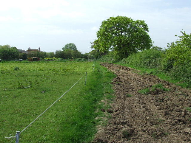
The village of Wrabness boasts a rich history, with evidence of human settlement dating back to the Mesolithic period. Over the years, it has been home to various industries including fishing, farming, and brickmaking. Today, it is predominantly a residential area with a population of around 400 people.
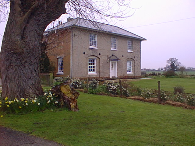
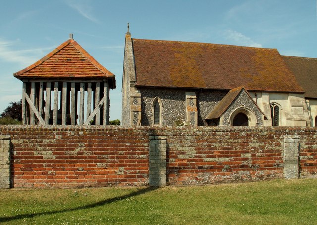
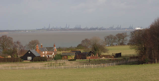
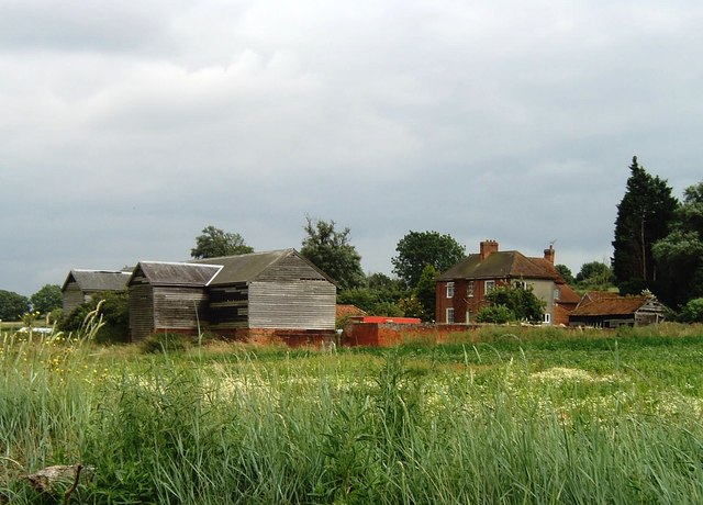
One of the notable features of Wrabness is its diverse range of architectural styles. The village is home to a mix of traditional thatched cottages, modern houses, and converted barns. The village church, dedicated to St. Michael and All Angels, is a Grade II listed building that dates back to the 12th century.
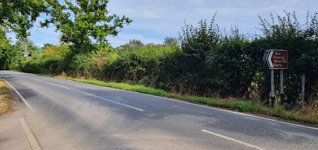
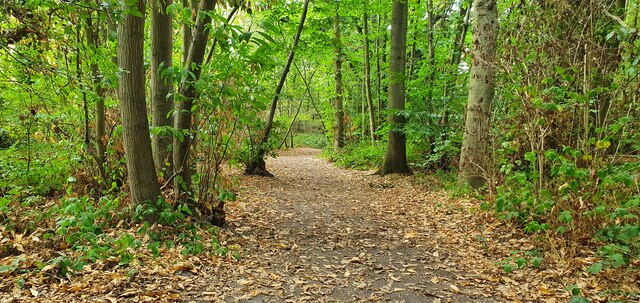
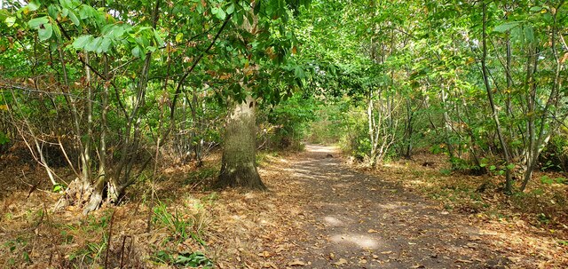
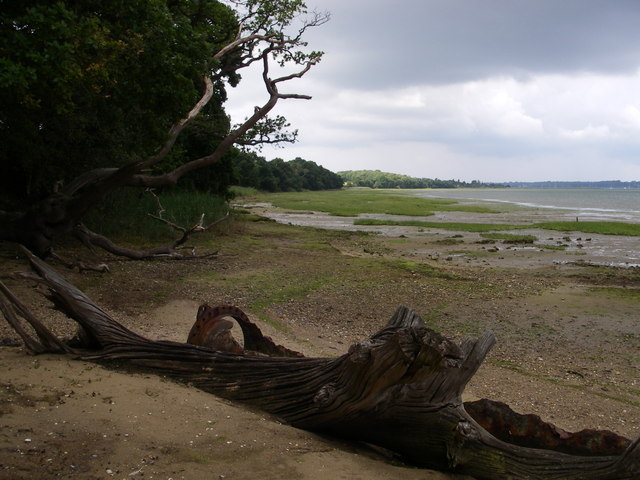
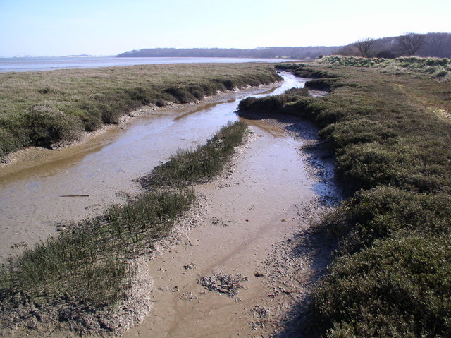
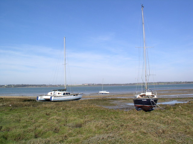
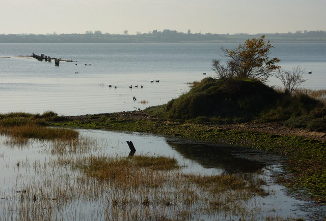
Nature enthusiasts are drawn to Wrabness for its stunning natural surroundings. The village is surrounded by a designated Area of Outstanding Natural Beauty, providing ample opportunities for walking, birdwatching, and enjoying the peaceful countryside. The nearby Wrabness Nature Reserve, managed by the Essex Wildlife Trust, is home to a variety of wildlife and offers beautiful views of the estuary.
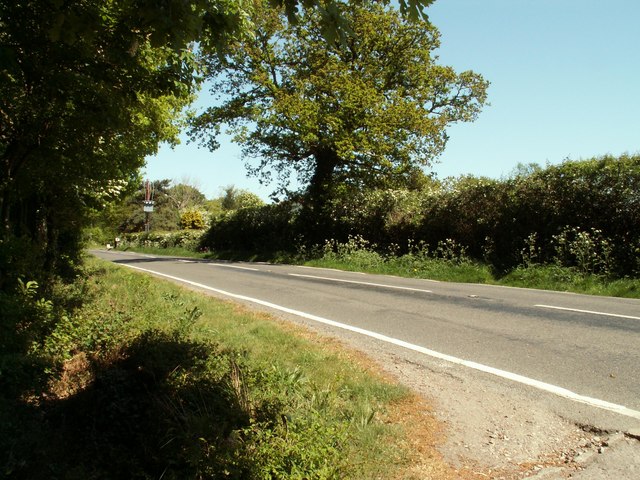
Despite its relatively small size, Wrabness has a strong sense of community. The village has a community shop, a village hall that hosts various events and activities, and a primary school that serves the local area. The village is also well-connected, with regular bus services to nearby towns and villages.
In conclusion, Wrabness is a charming civil parish in Essex that combines a rich history, stunning natural beauty, and a strong sense of community. It is a peaceful haven for those seeking a tranquil rural lifestyle.
If you have any feedback on the listing, please let us know in the comments section below.
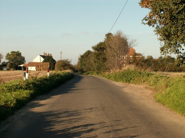
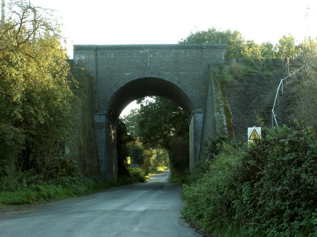
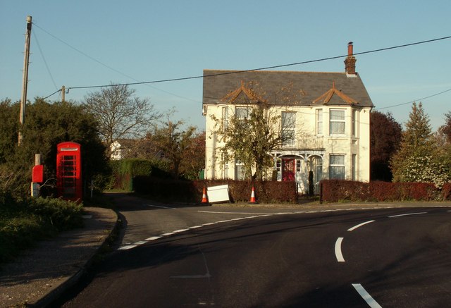
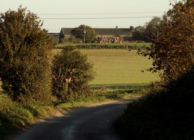
Wrabness Images
Images are sourced within 2km of 51.940511/1.161244 or Grid Reference TM1731. Thanks to Geograph Open Source API. All images are credited.

Wrabness is located at Grid Ref: TM1731 (Lat: 51.940511, Lng: 1.161244)
Administrative County: Essex
District: Tendring
Police Authority: Essex
What 3 Words
///medium.catchers.diverts. Near Holbrook, Suffolk
Nearby Locations
Related Wikis

Wrabness
Wrabness is a small village and civil parish near Manningtree, Essex, England. The village is located six miles (10 km) west of Harwich. Wrabness railway...

Oakfield Wood
Oakfield Wood is a 2.8-hectare (6.9-acre) nature reserve west of Wrabness in Essex. It is managed by the Essex Wildlife Trust.This is former farmland which...

Priory Halt railway station
Priory Halt railway station served the district of Tendring, Essex, England, from 1920 to 1965 on the Mayflower Line. == History == The station opened...

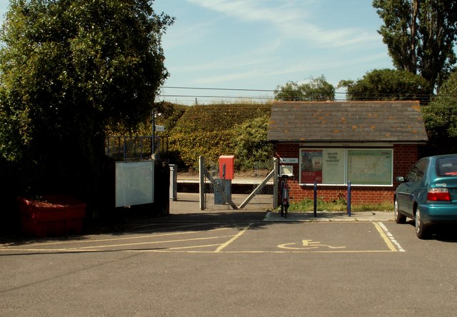
Wrabness railway station
Wrabness railway station is on the Mayflower Line, a branch of the Great Eastern Main Line in the East of England, serving the village of Wrabness, Essex...

Wrabness Nature Reserve
Wrabness Nature Reserve is a 27 hectare Local Nature Reserve on the south bank of the River Stour, west of Wrabness in Essex. It is managed by the Essex...

Stour Wood
Stour Wood is a woodland in Essex, England, near the village of Wrabness. It covers a total area of 54.07 hectares (133.61 acres). It is owned by the Woodland...

Stour and Copperas Woods, Ramsey
Stour and Copperas Woods, Ramsey is a 77.1-hectare (191-acre) biological Site of Special Scientific Interest between Wrabness and Ramsey in Essex. It is...
Stour Estuary
Stour Estuary is a 2,523 hectare biological and geological Site of Special Scientific Interest which stretches from Manningtree to Harwich in Essex and...
Nearby Amenities
Located within 500m of 51.940511,1.161244Have you been to Wrabness?
Leave your review of Wrabness below (or comments, questions and feedback).