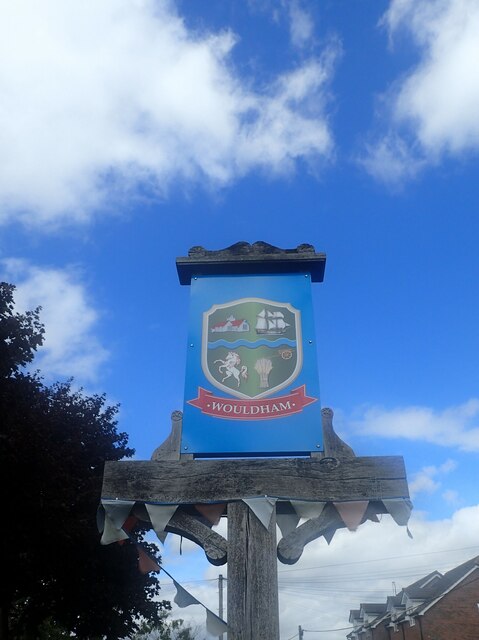
Wouldham
Civil Parish in Kent Tonbridge and Malling
England
Wouldham

Wouldham is a civil parish located in the county of Kent, England. Situated on the banks of the River Medway, it lies approximately 8 miles northwest of the town of Maidstone. The parish covers an area of around 3 square miles and has a population of approximately 1,000 residents.
Historically, the village of Wouldham was an important industrial hub, particularly during the 19th century. It was known for its extensive brickworks, which supplied bricks for various construction projects in the region. Today, remnants of these brickworks can still be seen, adding a sense of history and character to the area.
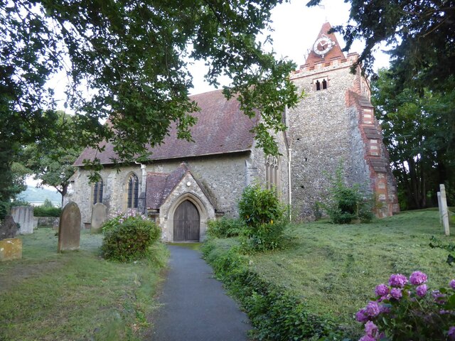
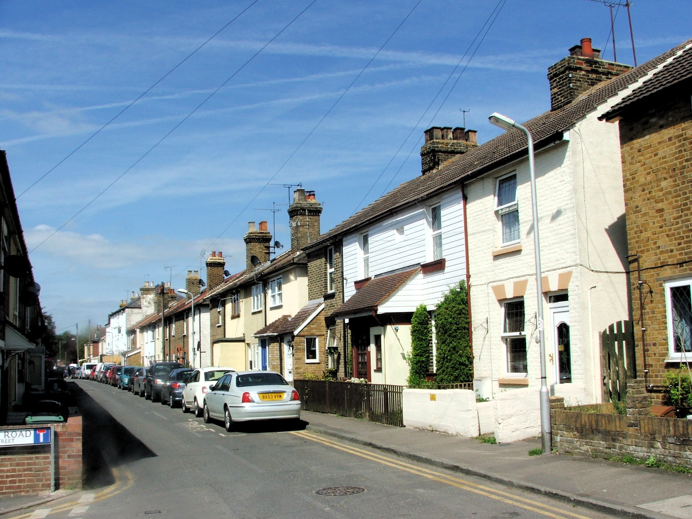
The village itself is a charming and picturesque place, with a mix of old and new buildings. It has a close-knit community that is proud of its heritage and actively participates in local events and activities. The parish boasts several amenities, including a primary school, a village hall, a church, and a pub, providing essential services and a sense of community for its residents.
The surrounding countryside offers beautiful natural scenery, with the River Medway providing opportunities for outdoor activities such as boating, fishing, and walking along the riverbanks. Wouldham is also well-connected to the wider region, with good transport links to nearby towns and cities via road and rail.
Overall, Wouldham is a charming and thriving civil parish that offers a mix of historical significance, natural beauty, and a strong sense of community.
If you have any feedback on the listing, please let us know in the comments section below.
Wouldham Images
Images are sourced within 2km of 51.351407/0.471249 or Grid Reference TQ7264. Thanks to Geograph Open Source API. All images are credited.


Wouldham is located at Grid Ref: TQ7264 (Lat: 51.351407, Lng: 0.471249)
Administrative County: Kent
District: Tonbridge and Malling
Police Authority: Kent
What 3 Words
///since.loud.silent. Near Wouldham, Kent
Nearby Locations
Related Wikis
Wouldham
Wouldham is a village on the bank of the River Medway in Kent, England. In 2011 its population was approximately 1500, which has increased since 2017,...
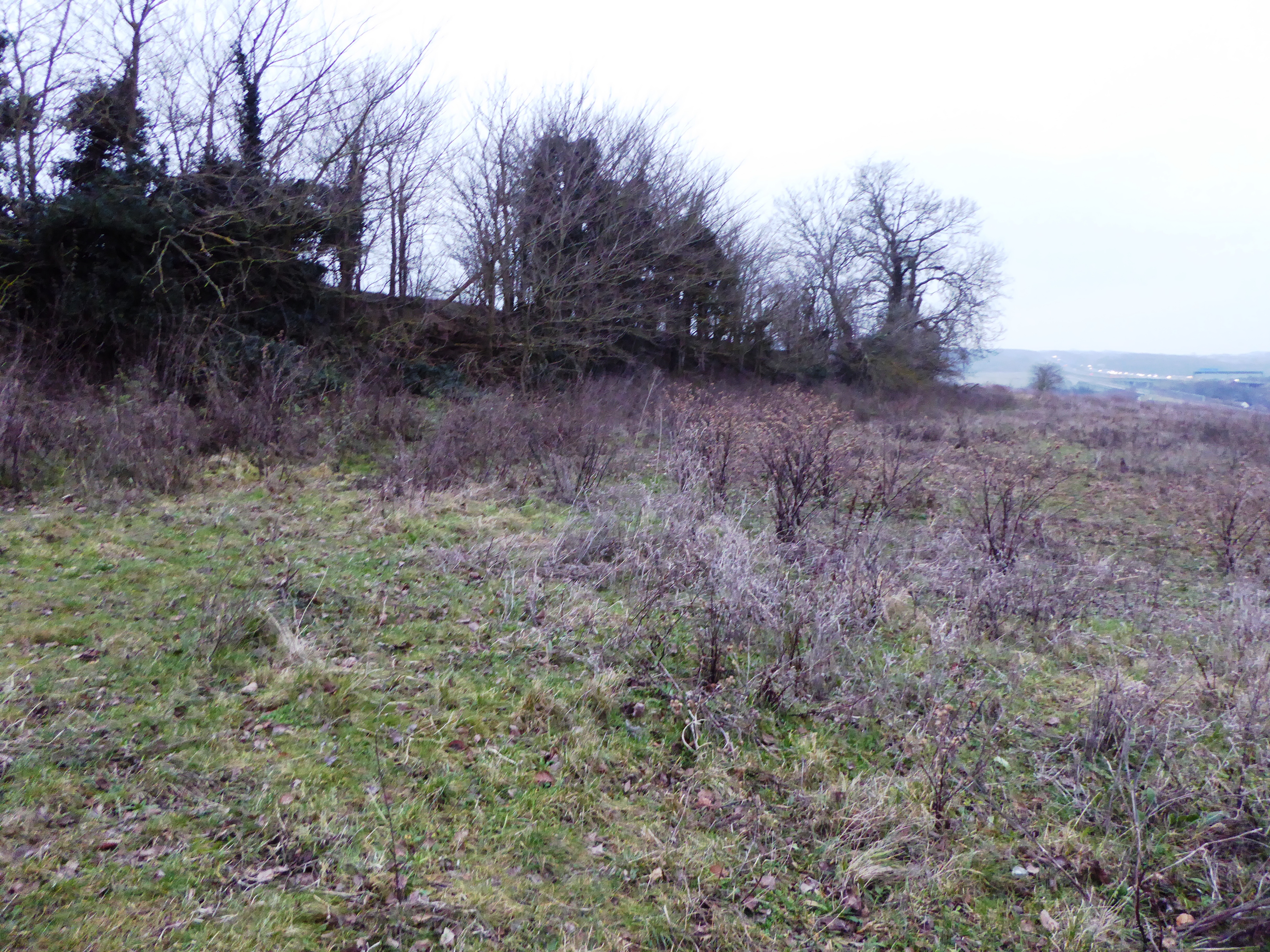
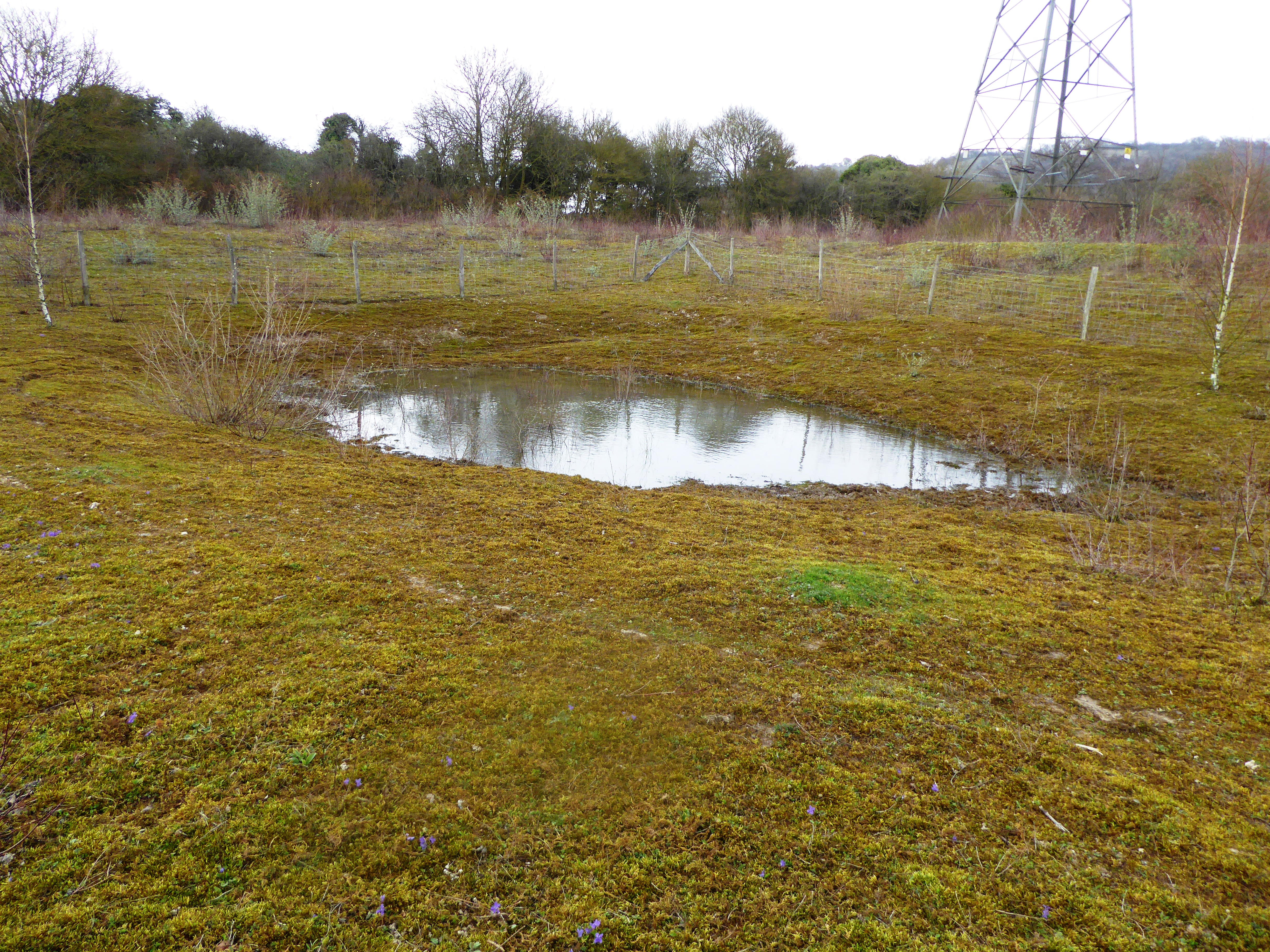
Nashenden Down
Nashenden Down is a 55-hectare (140-acre) nature reserve on the southern outskirts of Rochester in Kent. It is managed by the Kent Wildlife Trust, and...
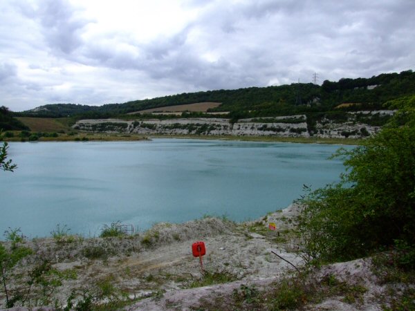
Peter's Pit
Peter's Pit (or Peters Pit) is a 28.7-hectare (71-acre) biological Site of Special Scientific Interest north-east of Snodland in Kent. It is a Special...
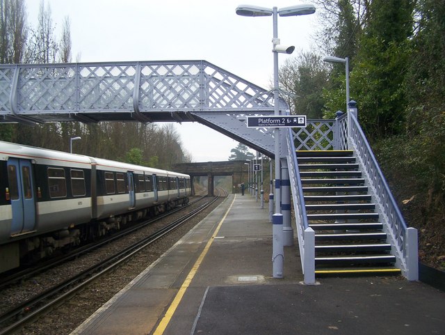
Halling railway station
Halling railway station is on the Medway Valley Line in Kent, England, and lies a little to the north of the village of Halling. It is 35 miles 18 chains...

Fort Bridgewoods
The site of Fort Bridgewoods is on the outskirts of Rochester, Medway in the United Kingdom, next to the Rochester-Maidstone road (B2097). The site was...
Halling, Kent
Halling is a village on the North Downs in the northern part of Kent, England. Consisting of Lower Halling, Upper Halling and North Halling, it is scattered...
HM Prison Cookham Wood
HM Prison Cookham Wood is a male young persons' prison and Young Offenders Institution in the village of Borstal (near Rochester) in Kent, England. The...

Chatham and Aylesford (UK Parliament constituency)
Chatham and Aylesford is a constituency in Kent represented in the House of Commons of the UK Parliament since 2010 by Tracey Crouch, a Conservative....
Nearby Amenities
Located within 500m of 51.351407,0.471249Have you been to Wouldham?
Leave your review of Wouldham below (or comments, questions and feedback).