Worth
Civil Parish in Kent Dover
England
Worth
Worth is a civil parish located in the county of Kent, England. Situated in the Sevenoaks district, it is nestled in the picturesque countryside of the North Downs, offering a serene and tranquil environment for its residents. The parish covers an area of approximately 6 square miles and is home to a population of around 1,500 people.
The village of Worth itself is characterized by its quaint and charming atmosphere, with traditional Kentish architecture and beautiful countryside views. The centerpiece of the village is the 13th-century Church of St. Nicholas, a Grade I listed building that has stood as a place of worship for centuries. The church's stunning architecture and historical significance make it a popular site for visitors.
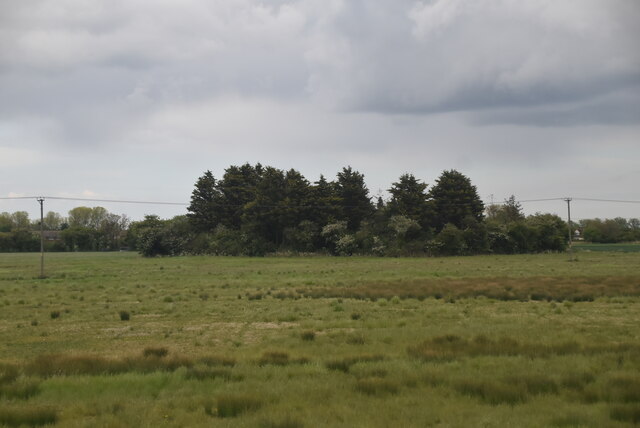
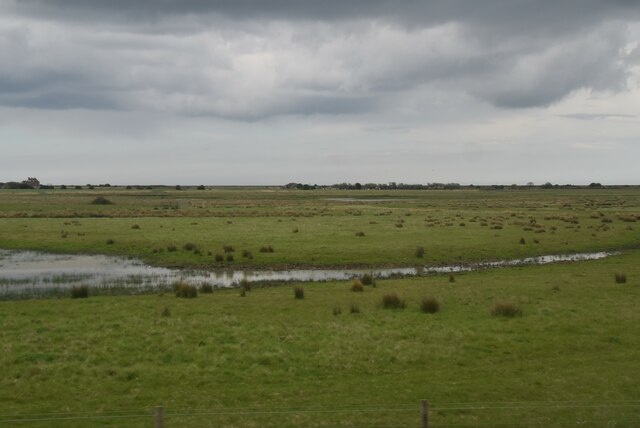
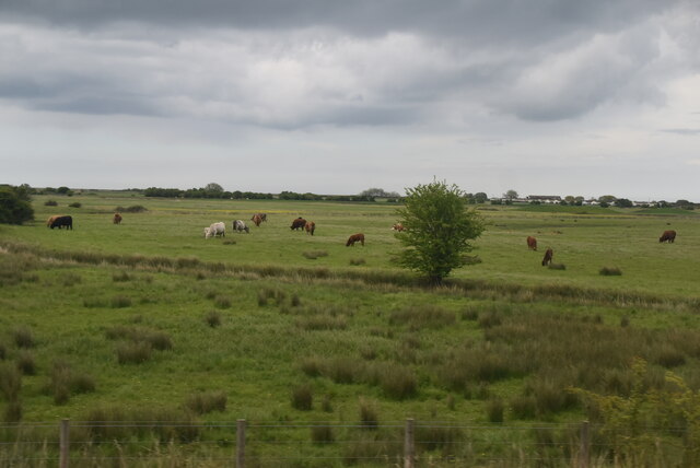
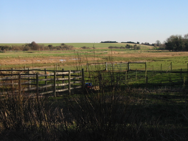
The surrounding area of Worth is largely agricultural, with rolling fields, meadows, and orchards dominating the landscape. The parish benefits from its proximity to the North Downs Way, a long-distance footpath that offers breathtaking views of the Kent countryside.
Despite its rural setting, Worth is well-connected to neighboring towns and cities. The village is located just a few miles from the town of Sevenoaks, which provides essential amenities, shops, and services for the residents of Worth. Additionally, the M25 motorway is easily accessible, providing convenient transportation links to London and other major cities.
Overall, Worth is a peaceful and idyllic parish, offering a high quality of life for its residents with its natural beauty, historical charm, and convenient location.
If you have any feedback on the listing, please let us know in the comments section below.
Worth Images
Images are sourced within 2km of 51.253393/1.358436 or Grid Reference TR3455. Thanks to Geograph Open Source API. All images are credited.
![Changing the landscape at Betteshanger [Country] Park This site was originally Foulmead Marsh, and then the spoil heap for Betteshanger Colliery. The pit opened in the late 1920s and closed in 1989. Fowlmead Park and nature reserve opened here in May 2007. When it was taken over by the Hadlow Group in May 2015, it was renamed Betteshanger Country Park. More recently the 'Country' has been dropped. The purpose of this civil engineering is unclear.](https://s3.geograph.org.uk/geophotos/07/10/80/7108051_7778c807.jpg)
![Leisure path, Betteshanger [Country] Park This site was originally Foulmead Marsh, and then the spoil heap for Betteshanger Colliery. The pit opened in the late 1920s and closed in 1989. Fowlmead Park and nature reserve opened here in May 2007. When it was taken over by the Hadlow Group in May 2015, it was renamed Betteshanger Country Park. More recently the 'Country' has been dropped. The leisure paths are open to walkers and cyclists.](https://s1.geograph.org.uk/geophotos/07/10/80/7108053_10547af2.jpg)


Worth is located at Grid Ref: TR3455 (Lat: 51.253393, Lng: 1.358436)
Administrative County: Kent
District: Dover
Police Authority: Kent
What 3 Words
///curvy.emails.clays. Near Sandwich, Kent
Nearby Locations
Related Wikis

Worth, Kent
Worth is a village and civil parish in the Dover District of Kent, England, situated near Sandwich. It has two public houses, a church, and a school. According...
Ham Fen
Ham Fen is a 41-hectare (100-acre) nature reserve south of Sandwich in Kent. It is one of Kent Wildlife Trust's nature reserves and is being extended...

Finglesham Anglo-Saxon cemetery
Finglesham Anglo-Saxon cemetery is a place of burial that was used from the sixth to the eighth centuries CE. It is located adjacent to the village of...

Betteshanger Park
Betteshanger Park (formerly Fowlmead Country Park and Betteshanger Country Park) is a park near Deal, in Kent, England. It covers the site of a former...
Sandwich Technology School
Sandwich Technology School is a secondary school with academy status in Sandwich, Kent, England. The school is a non-selective school in a selective, grammar...

Hacklinge
Hacklinge is a village near Deal in Kent, England. The population of the village is included in the civil parish of Northbourne. It lies next to the A258...

Sandwich railway station
Sandwich railway station serves Sandwich in Kent, England. The station, and all trains serving it, are operated by Southeastern. The station is 8+1⁄4 miles...

Ham, Kent
Ham is a village and former civil parish, now in the parish of Northbourne, in the Dover district, in the county of Kent, England. It is near the town...
Nearby Amenities
Located within 500m of 51.253393,1.358436Have you been to Worth?
Leave your review of Worth below (or comments, questions and feedback).