Worminghall

Civil Parish in Buckinghamshire

England

Worminghall

Ickford church - north side St. Nicholas's is a grade I listed building, mostly 13th century.
Ickford church - north side Credit: Robin Webster

Worminghall is a civil parish located in the county of Buckinghamshire, England. Situated about 13 miles southeast of the city of Oxford, it lies within the district of Aylesbury Vale. The parish covers an area of approximately 1.5 square miles and is home to a small population of around 200 residents.

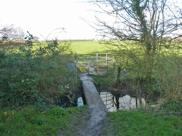
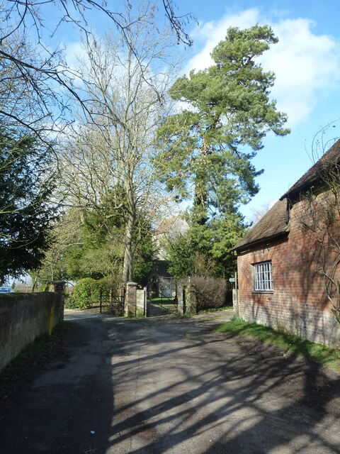
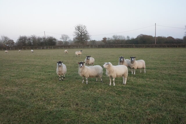
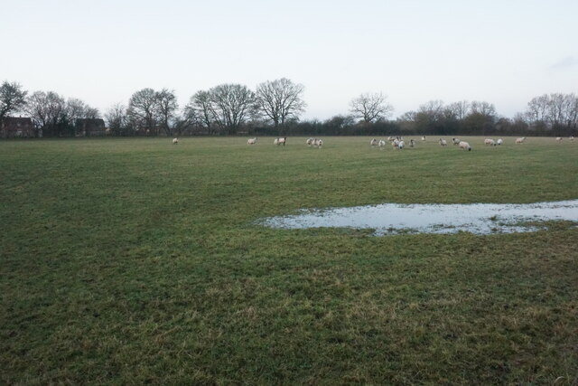
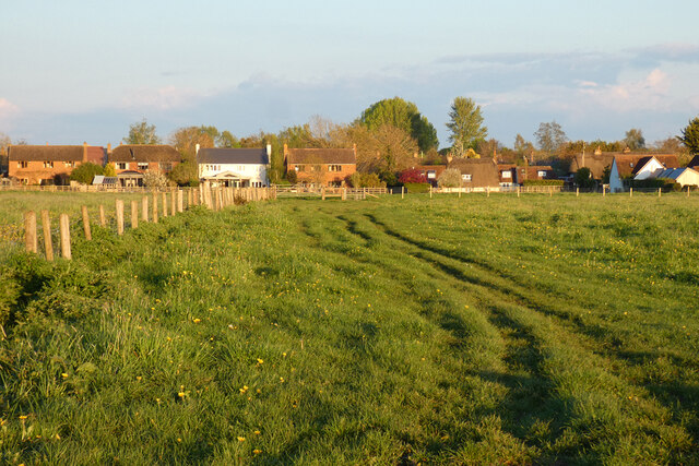
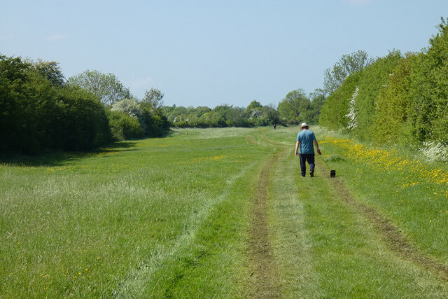
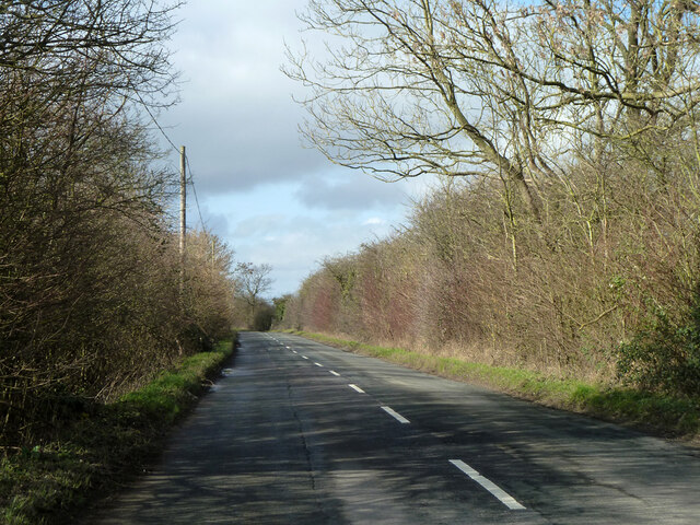
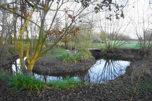
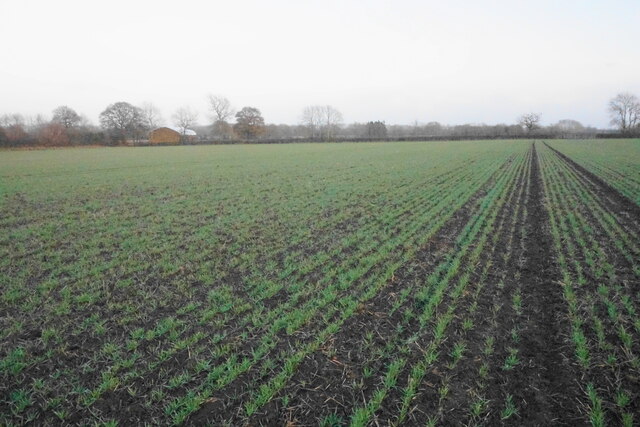
The village of Worminghall is characterized by its picturesque rural setting, with rolling hills, meadows, and charming countryside views. It is surrounded by farmland and open green spaces, contributing to its tranquil and idyllic atmosphere. The parish is known for its agricultural heritage and has a history dating back several centuries.

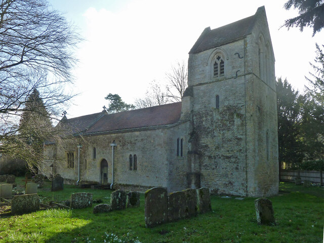
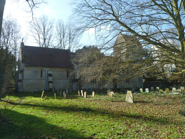
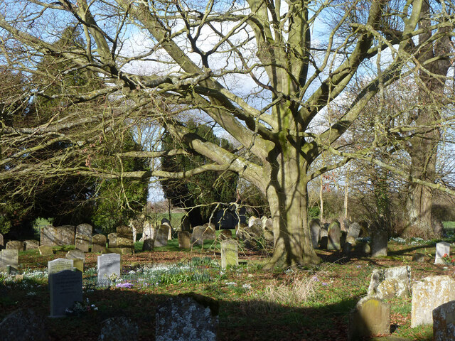
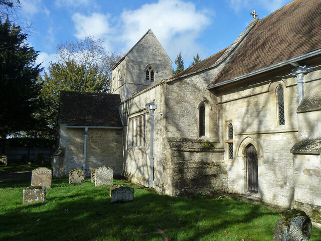
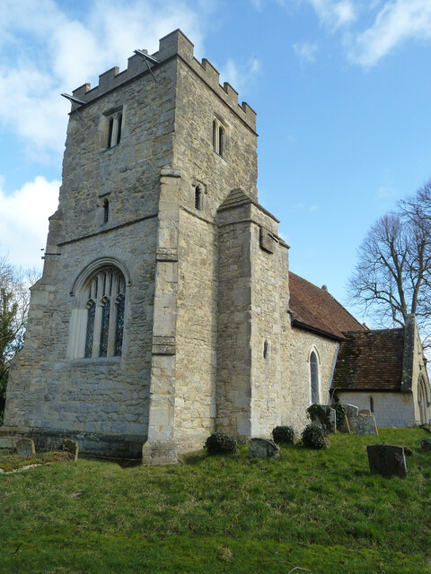
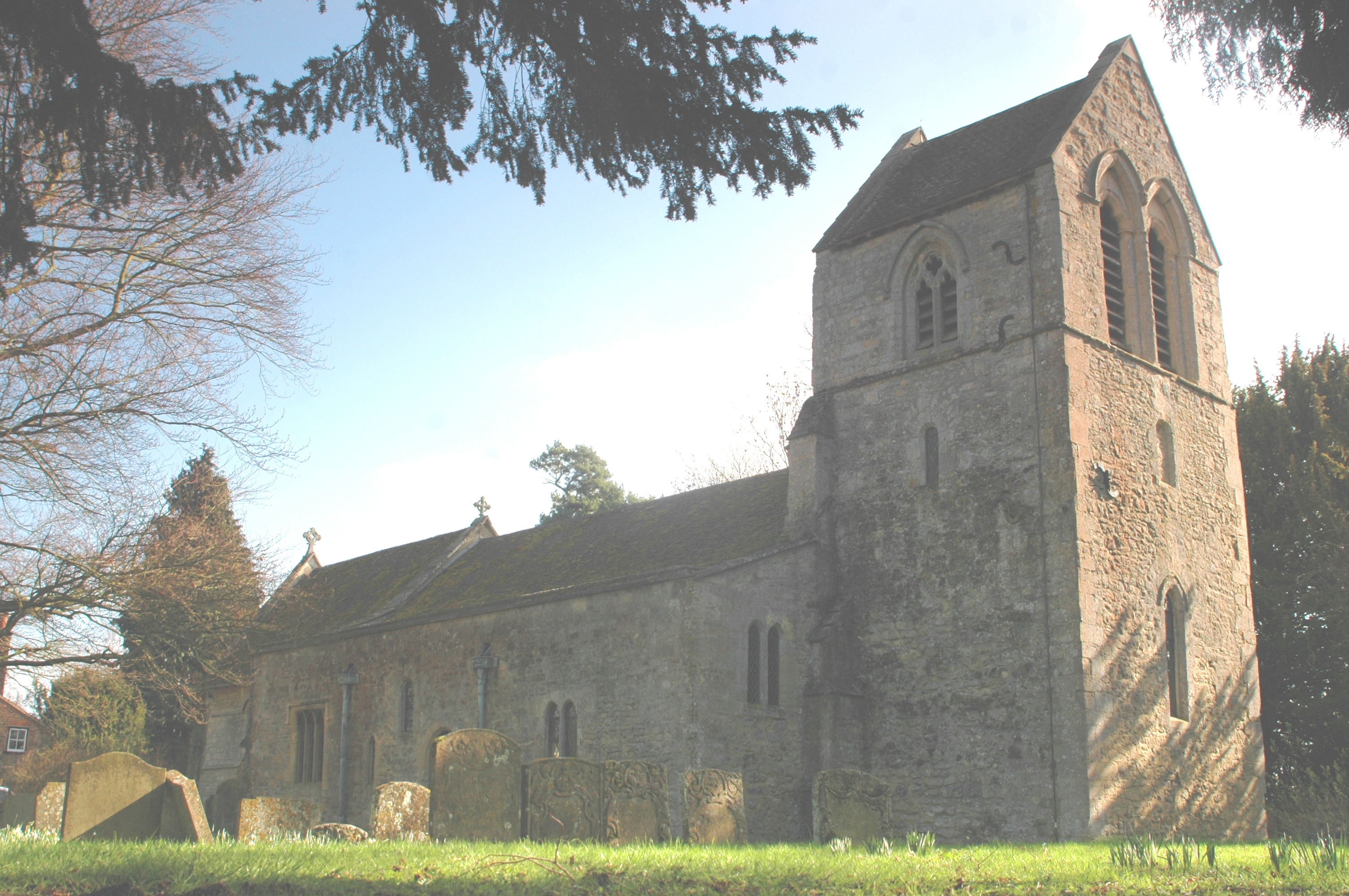
The centerpiece of Worminghall is its historic church, St. Peter and St. Paul, which dates back to the 12th century. The church features beautiful architecture, including a Norman doorway and a medieval tower. It serves as a focal point for the local community and holds regular services and events.

Despite its small size, Worminghall benefits from good transport links, with the A418 road passing nearby, providing easy access to neighboring towns and cities. The village also has a primary school, providing education for local children.

Overall, Worminghall offers a peaceful and tight-knit community in a charming countryside setting. With its rich history, beautiful landscapes, and convenient location, it provides a desirable place to live for those seeking a quieter and more rural lifestyle.

If you have any feedback on the listing, please let us know in the comments section below.
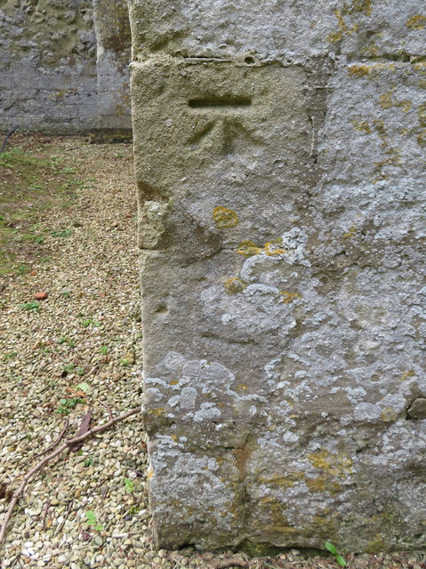
Worminghall Images

Images are sourced within 2km of 51.775803/-1.072655 or Grid Reference SP6408. Thanks to Geograph Open Source API. All images are credited.

Ickford church - north side St. Nicholas's is a grade I listed building, mostly 13th century.
Ickford church - north side
St. Nicholas's is a grade I listed building, mostly 13th century.
Footbridge and gate leaving Ickford churchyard On a footpath to Worminghall.
Footbridge and gate leaving Ickford churchyard
On a footpath to Worminghall.
Ickford church - north side St. Nicholas's is a grade I listed building, mostly 13th century.
Ickford church - north side
St. Nicholas's is a grade I listed building, mostly 13th century.
Ickford churchyard Snowdrops and crocuses, a bit early for daffodils.
Ickford churchyard
Snowdrops and crocuses, a bit early for daffodils.
Ickford church - south side St. Nicholas's is a grade I listed building, mostly 13th century.
Ickford church - south side
St. Nicholas's is a grade I listed building, mostly 13th century.
End of Church Road and churchyard gate, Ickford
Worminghall church The church of St Peter and St Paul is a grade II*(star) listed building, originally Norman, but much tinkered with and rebuilt over the years.
Worminghall church
The church of St Peter and St Paul is a grade II*(star) listed building, originally Norman, but much tinkered with and rebuilt over the years.
Sheep near Catsbrain Farm A footpath crosses the middle of this field.
Sheep near Catsbrain Farm
A footpath crosses the middle of this field.
Footpath across a field Not a clearly defined route. There is some normal winter flooding.
Footpath across a field
Not a clearly defined route. There is some normal winter flooding.
Worminghall Road A less sightly part of the road, seen at dusk. The buildings ahead belong to a recycling business.
Worminghall Road
A less sightly part of the road, seen at dusk. The buildings ahead belong to a recycling business.
Pasture, Ickford A footpath from Worminghall approaches the northern end of the village.
Pasture, Ickford
A footpath from Worminghall approaches the northern end of the village.
Track in pasture, Ickford The bridleway north of Peacehaven Farm makes its way down a very narrow field (or is it just a very wide track?).
Track in pasture, Ickford
The bridleway north of Peacehaven Farm makes its way down a very narrow field (or is it just a very wide track?).
Road from Worminghall to Oakley
Ornamental island near Waterslade Farm An extra channel has been dug from a passing stream to create the island. The stream flows from Brill via Oakey to the River Thame.
Ornamental island near Waterslade Farm
An extra channel has been dug from a passing stream to create the island. The stream flows from Brill via Oakey to the River Thame.
Emerging crop near Meads Farm A view at dusk from a footpath crossing the field.
Emerging crop near Meads Farm
A view at dusk from a footpath crossing the field.
Old runway at Oakley airfield Part of the former RAF Oakley seen at dusk.
Old runway at Oakley airfield
Part of the former RAF Oakley seen at dusk.
Bench mark on St Nicholas' church tower, Ickford This slightly damaged Ordnance Survey bench mark is on the west face of the tower of St Nicholas', Ickford.  See also <a href="https://www.geograph.org.uk/photo/4970326">SP6407 : The tower of St Nicholas', Ickford</a>
Bench mark on St Nicholas' church tower, Ickford
This slightly damaged Ordnance Survey bench mark is on the west face of the tower of St Nicholas', Ickford. See also SP6407 : The tower of St Nicholas', Ickford
The tower of St Nicholas', Ickford Looking towards the tower of St Nicholas', Ickford.  There is an Ordnance Survey bench mark on the west face of the tower - <a href="https://www.geograph.org.uk/photo/4970319">SP6407 : Bench mark on St Nicholas' church tower, Ickford</a>
The tower of St Nicholas', Ickford
Looking towards the tower of St Nicholas', Ickford. There is an Ordnance Survey bench mark on the west face of the tower - SP6407 : Bench mark on St Nicholas' church tower, Ickford
Show me another place!

Worminghall is located at Grid Ref: SP6408 (Lat: 51.775803, Lng: -1.072655)

Unitary Authority: Buckinghamshire

Police Authority: Thames Valley

What 3 Words

///zebra.cement.absorbing. Near Oakley, Buckinghamshire

Nearby Locations

Worminghall Worminghall

Related Wikis

Worminghall

Worminghall is a village and civil parish in the Buckinghamshire district of the ceremonial county of Buckinghamshire, England. The village is beside a...
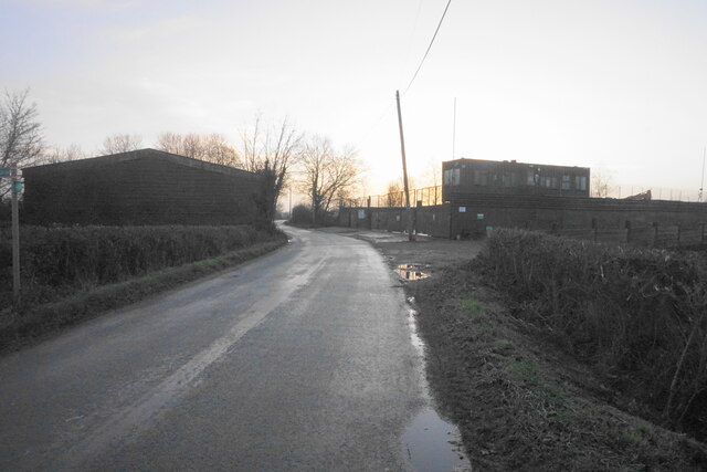
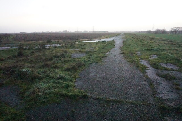
RAF Oakley

RAF Oakley is a former Royal Air Force satellite station between Oakley and Worminghall, Buckinghamshire, England. It was located in a flat, damp wooded...

Waterperry with Thomley

Waterperry with Thomley is a civil parish in the South Oxfordshire district, in the county of Oxfordshire, England. It includes the village of Waterperry...

Ickford

Ickford is a village and civil parish in the unitary authority area of Buckinghamshire, England. It is on the boundary with Oxfordshire, about 4 miles...

Nearby Amenities

Located within 500m of 51.775803,-1.072655
Worminghall
Place: village
Source: npe
Lat/Long: 51.7718926/-1.0724678
Bus Stop
Bench: yes
Bin: no
Bus: yes
Check Date Shelter: 2021-10-05
Public Transport: platform
Shelter: no
Source: gps_survey;Bing
Tactile Paving: no
Lat/Long: 51.7716968/-1.0720206
Power: pole
Source: Bing
Lat/Long: 51.775921/-1.0664948
Power: pole
Source: Bing
Lat/Long: 51.7748539/-1.0705423
Power: pole
Source: Bing
Lat/Long: 51.7741919/-1.0682061
Power: pole
Source: Bing
Lat/Long: 51.775672/-1.0734122
Power: pole
Source: Bing
Lat/Long: 51.7748762/-1.0665943
Power: pole
Source: Bing
Lat/Long: 51.7760919/-1.0748472
Power: pole
Source: Bing
Lat/Long: 51.7765185/-1.0763117
Power: pole
Source: Bing
Lat/Long: 51.776842/-1.077449
Power: pole
Source: Bing
Lat/Long: 51.775234/-1.0719209
Power: pole
Lat/Long: 51.7737333/-1.0666766
Power: pole
Lat/Long: 51.7771452/-1.078548
Direction: 220
Generator Method: photovoltaic
Generator Output Electricity: yes
Generator Solar Modules: 16
Generator Source: solar
Generator Type: solar_photovoltaic_panel
Location: roof
Power: generator
Lat/Long: 51.7717542/-1.073625
Power: pole
Lat/Long: 51.7739358/-1.0716003
Power: pole
Lat/Long: 51.7727478/-1.0729339
Power: pole
Lat/Long: 51.7724696/-1.073258
Power: pole
Lat/Long: 51.772045/-1.073746
Power: pole
Lat/Long: 51.7716692/-1.0742099
The data included in this document is from www.openstreetmap.org. The data is made available under ODbL.

Have you been to Worminghall?

Leave your review of Worminghall below (or comments, questions and feedback).