Bugle Gate

Settlement in Worcestershire Wychavon

England

Bugle Gate

Footpath through the Bluebells, Shrawley Woods
Footpath through the Bluebells, Shrawley Woods Credit: Jeff Gogarty

Bugle Gate is a small village located in the county of Worcestershire, England. Situated in the Malvern Hills District, it is tucked away in a picturesque countryside setting, surrounded by rolling hills and green meadows. With a population of around 500 residents, Bugle Gate offers a peaceful and close-knit community atmosphere.

The village is known for its historical significance, with evidence of settlements dating back to the Roman era. The name "Bugle Gate" is derived from the nearby Bugle Hill, a prominent landmark that was once used as a signal point during times of war.

Although Bugle Gate is primarily a residential area, it is conveniently located within close proximity to larger towns and cities. The nearby town of Malvern is just a short drive away, offering a range of amenities including shops, schools, and healthcare facilities. Additionally, the city of Worcester is easily accessible, providing residents with further opportunities for work and leisure activities.

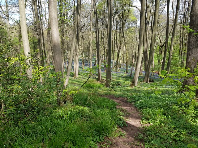
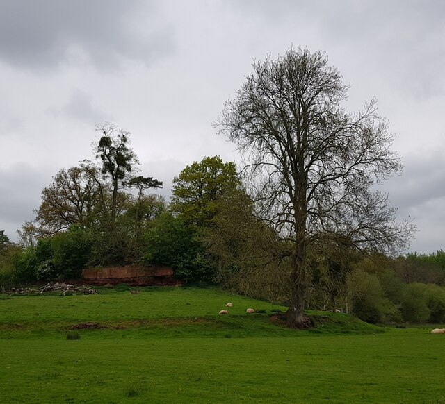
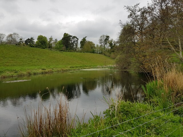
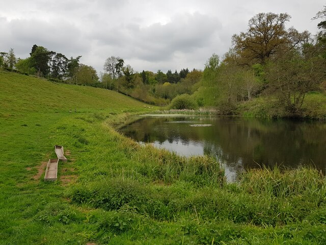
The surrounding countryside offers ample opportunities for outdoor enthusiasts. The Malvern Hills, an Area of Outstanding Natural Beauty, provide stunning vistas and numerous hiking trails for visitors to explore. Bugle Gate itself offers quaint country lanes and footpaths, perfect for leisurely walks or cycling.

Overall, Bugle Gate provides its residents with a tranquil and idyllic rural lifestyle, while still offering easy access to essential amenities and nearby attractions.

If you have any feedback on the listing, please let us know in the comments section below.
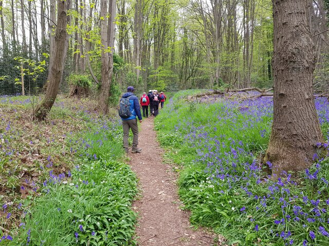
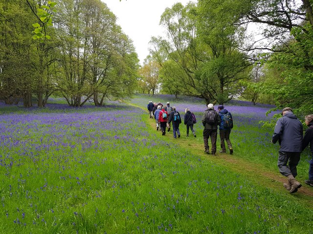
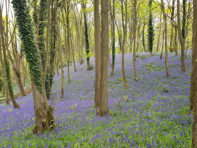
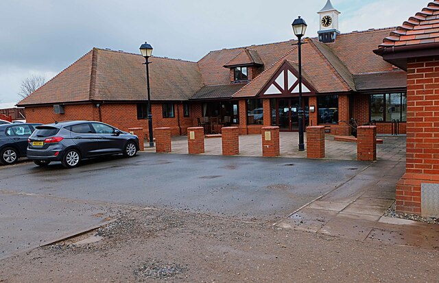
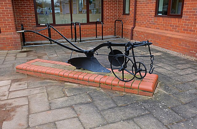
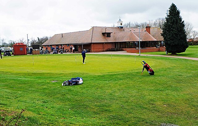
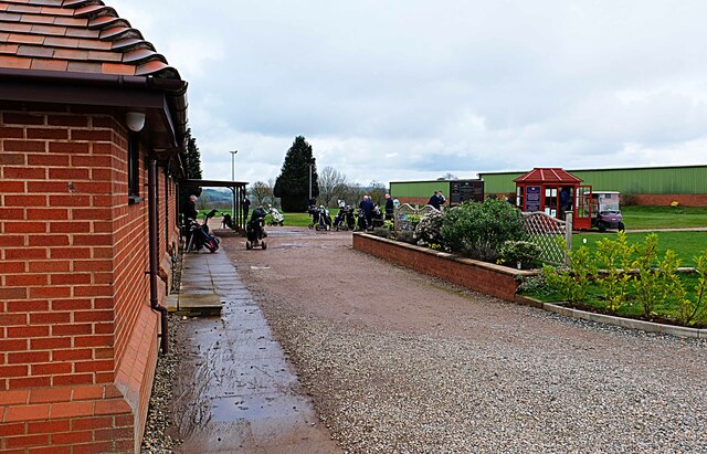
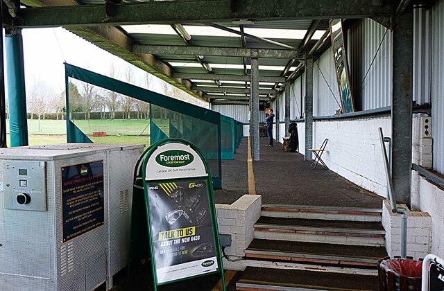
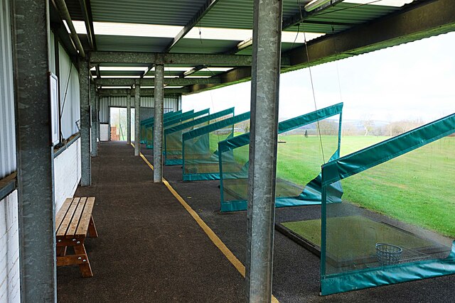
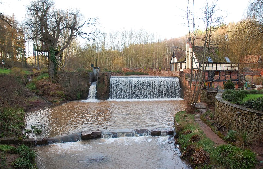
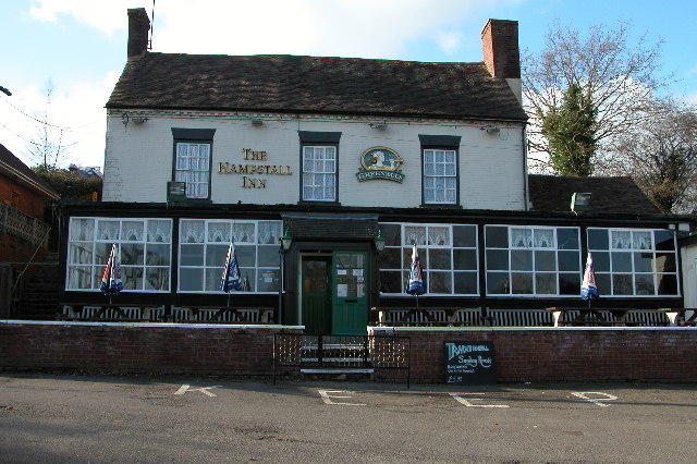
Bugle Gate Images

Images are sourced within 2km of 52.300824/-2.2653848 or Grid Reference SO8267. Thanks to Geograph Open Source API. All images are credited.

Footpath through the Bluebells, Shrawley Woods
Minor path in Shrawley woods with Bluebells and Ramsons
Oliver's Mound, Shrawley Woods
Pond near Oliver's Mound, Shrawley Woods
Pond near Oliver's Mound, Shrawley Woods (2)
New Pool, Shrawley Woods
Walkers in Shrawley Woods admiring the bluebells
Bluebells in Shrawley Woods
Walkers amongst the bluebells, Shrawley Wood
Slope of bluebells, Shrawley Woods
Sequoiadendron Wellingtonia At a crossroads of trails in Shrawley Woods.
Sequoiadendron Wellingtonia
At a crossroads of trails in Shrawley Woods.
Ombersley Golf Club Clubhouse (1), Bishops Wood Road, near Ombersley, Worcs The club was developed by a local farming family who continue to run it. The course opened in late 1991. The impressive Clubhouse includes a bar and restaurant which is open to the public, including those who do not play golf.  There is a large car park in front with access from Bishops Wood Road.

<a href="https://www.geograph.org.uk/photo/7436394">SO8267 : Ombersley Golf Club Clubhouse (2), Bishops Wood Road, near Ombersley, Worcs</a>.
Ombersley Golf Club Clubhouse (1), Bishops Wood Road, near Ombersley, Worcs
The club was developed by a local farming family who continue to run it. The course opened in late 1991. The impressive Clubhouse includes a bar and restaurant which is open to the public, including those who do not play golf. There is a large car park in front with access from Bishops Wood Road. SO8267 : Ombersley Golf Club Clubhouse (2), Bishops Wood Road, near Ombersley, Worcs.
Plough in front of Clubhouse, Ombersley Golf Club, near Ombersley, Worcs The Ombersley Golf Club is located in a very rural area and on former farmland. The plough is a symbol of this.

<a href="https://www.geograph.org.uk/photo/7436273">SO8367 : Ombersley Golf Club Clubhouse (1), Bishops Wood Road, near Ombersley, Worcs</a>.
<a href="https://www.geograph.org.uk/photo/7436394">SO8267 : Ombersley Golf Club Clubhouse (2), Bishops Wood Road, near Ombersley, Worcs</a>.
Plough in front of Clubhouse, Ombersley Golf Club, near Ombersley, Worcs
The Ombersley Golf Club is located in a very rural area and on former farmland. The plough is a symbol of this. SO8367 : Ombersley Golf Club Clubhouse (1), Bishops Wood Road, near Ombersley, Worcs. SO8267 : Ombersley Golf Club Clubhouse (2), Bishops Wood Road, near Ombersley, Worcs.
Ombersley Golf Club Clubhouse (2), Bishops Wood Road, near Ombersley, Worcs The clubhouse includes a bar and restaurant and an extensively stocked golf shop.

<a href="https://www.geograph.org.uk/photo/7436273">SO8367 : Ombersley Golf Club Clubhouse (1), Bishops Wood Road, near Ombersley, Worcs</a>.
Ombersley Golf Club Clubhouse (2), Bishops Wood Road, near Ombersley, Worcs
The clubhouse includes a bar and restaurant and an extensively stocked golf shop. SO8367 : Ombersley Golf Club Clubhouse (1), Bishops Wood Road, near Ombersley, Worcs.
Path by Ombersley Golf Course Clubhouse to Driving Range, near Ombersley, Worcs The path leads to the Driving Range, which is the green building in the distance.
Path by Ombersley Golf Course Clubhouse to Driving Range, near Ombersley, Worcs
The path leads to the Driving Range, which is the green building in the distance.
Golf buggies at Ombersley Golf Club, Bishops Wood Road, near Ombersley, Worcs Golf buggies (a.k.a. golf carts) parked near the Clubhouse.
Golf buggies at Ombersley Golf Club, Bishops Wood Road, near Ombersley, Worcs
Golf buggies (a.k.a. golf carts) parked near the Clubhouse.
Driving range (1) at Ombersley Golf Course, near Ombersley, Worcs The driving range is a facility where golfers can practice their golf swing.

<a href="https://www.geograph.org.uk/photo/7437813">SO8267 : Driving range (2) at Ombersley Golf Course, near Ombersley, Worcs</a>.
<a href="https://www.geograph.org.uk/photo/7439298">SO8267 : Area in front of Driving Range, Ombersley Golf Course, near Ombersley, Worcs</a>.
Driving range (1) at Ombersley Golf Course, near Ombersley, Worcs
Driving range (2) at Ombersley Golf Course, near Ombersley, Worcs Part of the covered driving range at Ombersley Golf Club.

See also:-  <a href="https://www.geograph.org.uk/photo/7437795">SO8267 : Driving range (1) at Ombersley Golf Course, near Ombersley, Worcs</a>.
Driving range (2) at Ombersley Golf Course, near Ombersley, Worcs
Part of the covered driving range at Ombersley Golf Club. See also:- SO8267 : Driving range (1) at Ombersley Golf Course, near Ombersley, Worcs.
Show me another place!

Bugle Gate is located at Grid Ref: SO8267 (Lat: 52.300824, Lng: -2.2653848)

Administrative County: Worcestershire

District: Wychavon

Police Authority: West Mercia

What 3 Words

///shrubbery.tarnished.wobbling. Near Hartlebury, Worcestershire

Nearby Locations

Lineholt Common Bugle Gate

Related Wikis

Dick Brook

Dick Brook is small tributary stream of the River Severn that flows through Worcestershire, England.The brook is formed from two small unnamed streams...

Astley Burf

Astley Burf is a hamlet in the parish of Astley, Worcestershire, England, on the banks of the River Severn. Within the hamlet there is one riverside public...

Noutard's Green

Noutard's Green is a hamlet within the civil parish of Shrawley in Worcestershire, England. == References ==

Astley Hall, Stourport-on-Severn

Astley Hall is a country house in Astley near Stourport-on-Severn, Worcestershire, England. The hall was the home of Prime Minister Stanley Baldwin from...

Frog Pool

Frog Pool is a hamlet within the civil parish of Shrawley in Worcestershire, England. == References ==

Shrawley

Shrawley is a village and civil parish in the Malvern Hills District in the county of Worcestershire, England. The village is situated on the western bank...

Crossway Green

Crossway Green is a village in Worcestershire, England.

Dunhampton

Dunhampton is a village in Worcestershire, England.

Related Videos

A Bluebell walk in Shrawley

It's Bluebell season and Charlotte and I explored one of our local hotspots for Bluebell activity, Shrawley wood. Situated not far ...

Shrawley Wood 27th of February 2022

And early spring walk in the woods on a very sunny day…

TWIN OAKS Camping and Caravan Park | Motorhome Happiness | Rally

Twin Oaks Camping and Caravan Park was the perfect place for a family Easter break, with Motorhome Happiness. They offered a ...

#shorts A hike to the river Severn

Today we will be hiking along the river 7.

Nearby Amenities

Located within 500m of 52.300824,-2.2653848
Power: tower
Lat/Long: 52.2968971/-2.2644301
Power: tower
Lat/Long: 52.2995802/-2.2639496
Power: tower
Lat/Long: 52.3018814/-2.2635105
Power: tower
Lat/Long: 52.3043494/-2.2612842
Marker: aerial
Operator: CLH
Operator Old: GPSS
Ref: MP 2999
Source: survey
Utility: oil
Lat/Long: 52.2993343/-2.2631306
Cathodic Installation No 46
Power: pole
Transformer: distribution
Voltage Primary: 11000
Lat/Long: 52.3046582/-2.2634625
Power: pole
Lat/Long: 52.2969693/-2.2689054
Power: pole
Lat/Long: 52.2969788/-2.2675328
Stone Farm
Power: pole
Transformer: distribution
Voltage Primary: 11000
Lat/Long: 52.2990251/-2.2656794
Power: pole
Lat/Long: 52.2991259/-2.2647969
Power: pole
Lat/Long: 52.2993203/-2.2630227
Power: pole
Lat/Long: 52.2994491/-2.261931
Wyneyards
Power: pole
Transformer: distribution
Voltage Primary: 11000
Lat/Long: 52.2996016/-2.2604397
Power: pole
Lat/Long: 52.2967458/-2.2623709
Power: pole
Lat/Long: 52.2969829/-2.2622797
Power: pole
Lat/Long: 52.2979859/-2.2619002
Power: pole
Lat/Long: 52.2988578/-2.2610365
Power: pole
Lat/Long: 52.2992047/-2.2606784
Power: pole
Lat/Long: 52.2996295/-2.2602211
Power: pole
Lat/Long: 52.2997197/-2.2594124
Power: pole
Lat/Long: 52.2998165/-2.258487
The data included in this document is from www.openstreetmap.org. The data is made available under ODbL.

Have you been to Bugle Gate?

Leave your review of Bugle Gate below (or comments, questions and feedback).