Witham Friary
Civil Parish in Somerset Mendip
England
Witham Friary
Witham Friary is a civil parish located in the county of Somerset, England. Situated in the eastern part of the county, it falls within the Mendip district. The parish covers an area of approximately 5 square kilometers and is home to a small population.
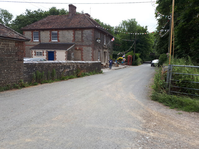
The main feature of Witham Friary is the Grade I listed Witham Priory, a former Augustinian priory that dates back to the 12th century. The priory was dissolved during the Dissolution of the Monasteries in the 16th century and has since been converted into a private residence. It is known for its beautiful architecture, including a well-preserved cloister and a grand hall.
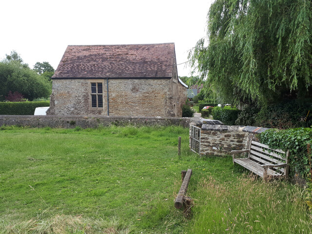
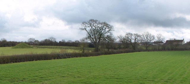
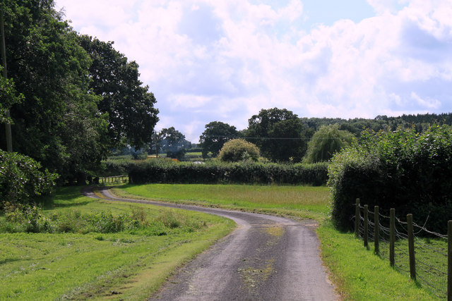
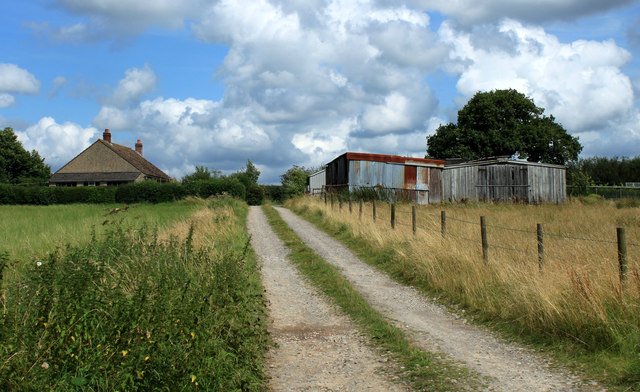
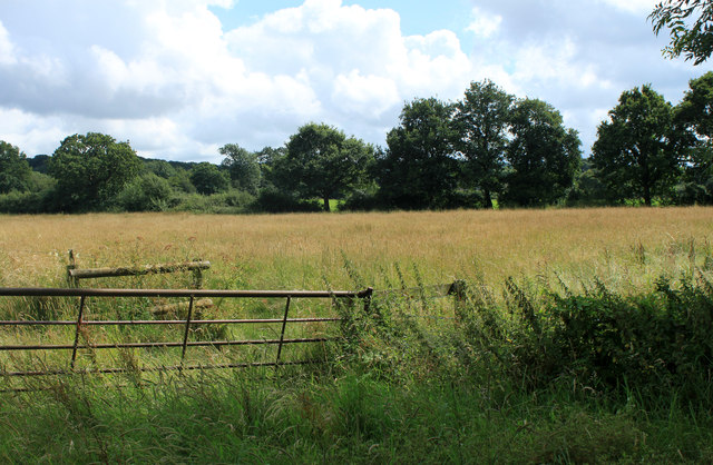
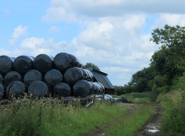
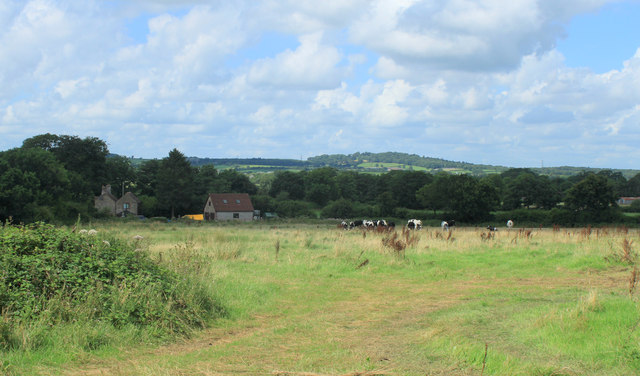
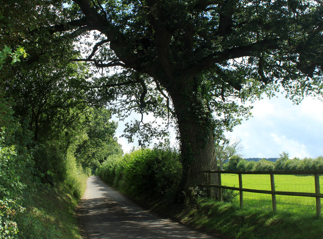
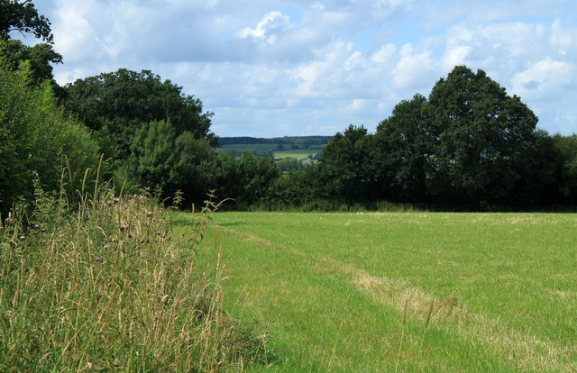
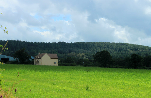
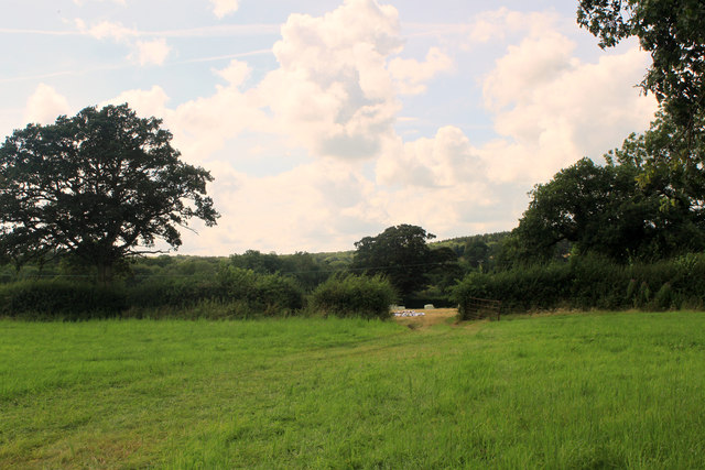
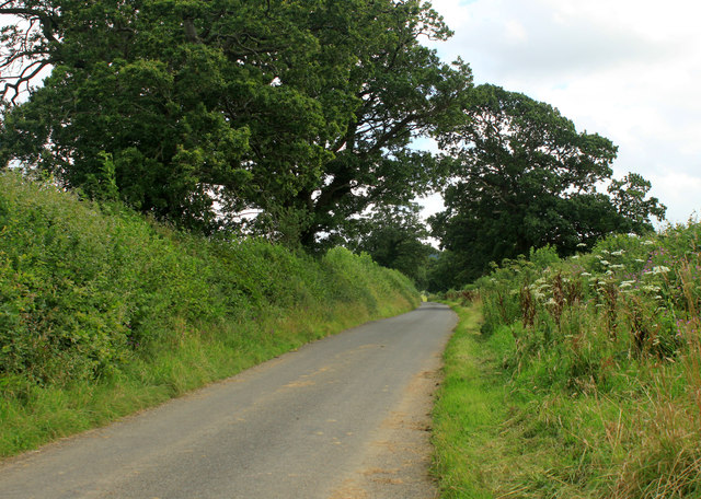
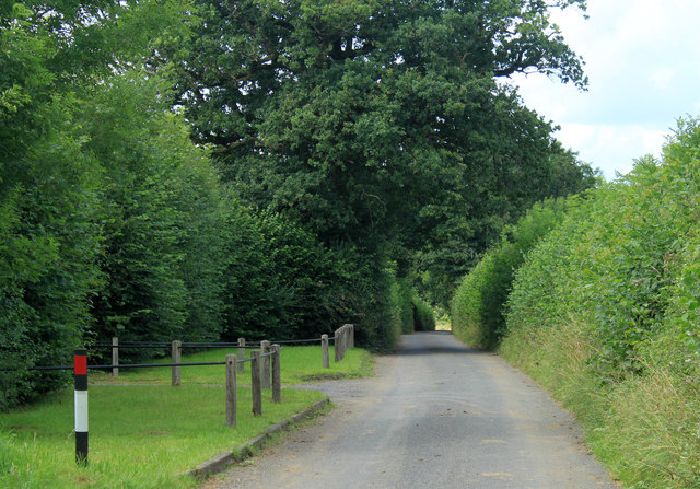
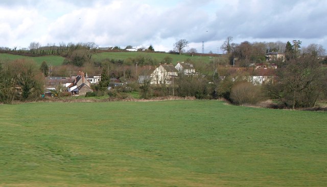
Surrounded by picturesque countryside, Witham Friary offers a tranquil setting for residents and visitors alike. The parish is characterized by rolling hills, agricultural land, and charming rural villages. The landscape is dotted with traditional English cottages and farmhouses, adding to the area's charm.
Despite its small size, Witham Friary has a strong sense of community. The parish has a local church, St Mary's, which holds regular services and community events. Additionally, there are various walking and cycling routes in the area, allowing visitors to explore the stunning countryside.
Overall, Witham Friary is a peaceful and historic parish that offers a glimpse into the rich heritage and natural beauty of Somerset.
If you have any feedback on the listing, please let us know in the comments section below.
Witham Friary Images
Images are sourced within 2km of 51.157849/-2.363194 or Grid Reference ST7439. Thanks to Geograph Open Source API. All images are credited.

Witham Friary is located at Grid Ref: ST7439 (Lat: 51.157849, Lng: -2.363194)
Administrative County: Somerset
District: Mendip
Police Authority: Avon and Somerset
What 3 Words
///noisy.sunblock.goals. Near Kilmington, Wiltshire
Nearby Locations
Related Wikis

Witham Charterhouse
Witham Charterhouse, also Witham Priory, at Witham Friary, Somerset, was established in 1178/79, the earliest of the ten medieval Carthusian houses (charterhouses...

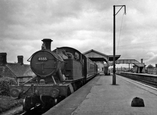
Witham (Somerset) railway station
This station in Somerset is closed. For the open station in East Anglia, see Witham railway station.Witham (Somerset) railway station was a station serving...

Church of St Mary, Witham Friary
The Church of St Mary in Witham Friary, Somerset, England, dates from around 1200 and it has been designated as a Grade I listed building.The church was...
Witham Friary
Witham Friary is a small English village and civil parish located between the towns of Frome and Bruton in the county of Somerset. It is in the Cranborne...
Have you been to Witham Friary?
Leave your review of Witham Friary below (or comments, questions and feedback).