Witham

Civil Parish in Essex Braintree

England

Witham

The Swan, Witham
The Swan, Witham Credit: David Howard

Witham is a civil parish located in the county of Essex, England. It is situated between the cities of Chelmsford and Colchester, approximately 40 miles northeast of London. With a population of around 25,000, it is a medium-sized town known for its historic charm and picturesque landscapes.

The town has a rich history that dates back to the Roman times, and evidence of Roman settlements can still be found in the area. Witham grew in importance during the medieval period as a market town and a center for agriculture and trade.

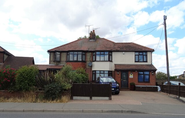
Today, Witham is a thriving community with a range of amenities and services. The town center offers a variety of shops, restaurants, and cafes, catering to both residents and visitors. There are also several supermarkets and retail parks in the outskirts of the town.

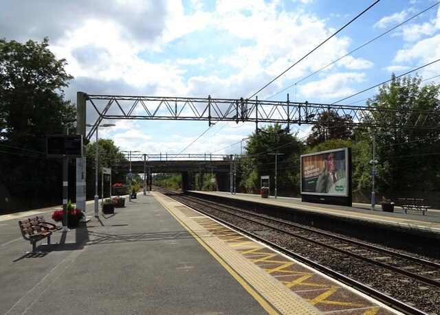
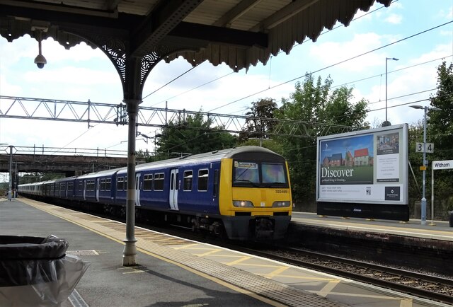
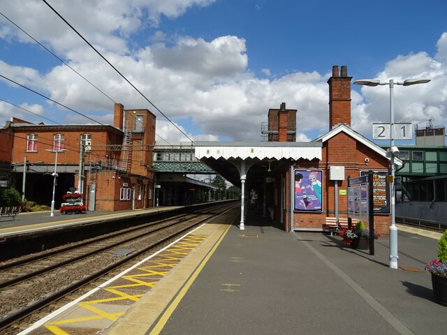
Witham is well-connected to other parts of Essex and London by transportation links. The town has its own train station, providing direct services to London Liverpool Street, Chelmsford, and Colchester. Additionally, it is located near major road networks, including the A12 and A120, making it easily accessible by car.

The town is surrounded by beautiful countryside, with numerous parks and green spaces for recreational activities. The River Brain runs through Witham, adding to its natural beauty and providing opportunities for boating and fishing.

Witham is home to several schools, both primary and secondary, making it an attractive place for families. The town also has a leisure center, a library, and a community center, offering a range of activities and events for residents of all ages.

In conclusion, Witham is a vibrant town with a rich history, beautiful landscapes, and a strong sense of community. It offers a high quality of life, making it a desirable place to live or visit in Essex.

If you have any feedback on the listing, please let us know in the comments section below.
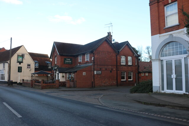
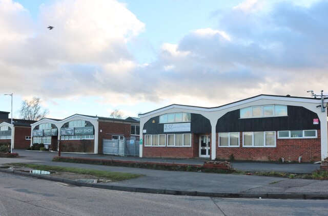
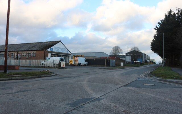
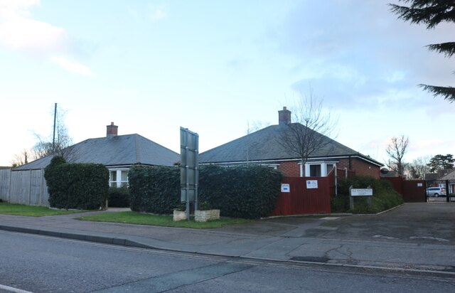
Witham Images

Images are sourced within 2km of 51.802047/0.628888 or Grid Reference TL8114. Thanks to Geograph Open Source API. All images are credited.

The Swan, Witham
The Swan, Witham
Cannon Motorcycles on Crittall Road, Witham
Masterframe on Crittall Road, Witham
Crittall Court, Witham
Office units on Crittall Road, Witham
Crittall Road, Witham This looks like just about every traditional industrial estate in the country.
Crittall Road, Witham
This looks like just about every traditional industrial estate in the country.
Bungalows on Newland Street, Witham On the right is the old magistrate's court, which is now a Montessori nursery.
Bungalows on Newland Street, Witham
On the right is the old magistrate's court, which is now a Montessori nursery.
AKA cocktail bar on Newland Street, Witham
Witham from the air The delineation between residential and commercial use is quite evident in this view from a Birmingham bound flight from Prague.
Witham from the air
The delineation between residential and commercial use is quite evident in this view from a Birmingham bound flight from Prague.
Newland Street, Witham The town's high street, and the former line of the London-Yarmouth road.
Newland Street, Witham
The town's high street, and the former line of the London-Yarmouth road.
Statue of Dorothy L. Sayers, Newland Street, Witham The writer Dorothy L. Sayers, known chiefly for her detective fiction but also for her translations of Dante's "Divine Comedy" and the "Song of Roland", lived in Witham in a house across the street from this statue.
Statue of Dorothy L. Sayers, Newland Street, Witham
The writer Dorothy L. Sayers, known chiefly for her detective fiction but also for her translations of Dante's "Divine Comedy" and the "Song of Roland", lived in Witham in a house across the street from this statue.
Witham Railway Station
Witham Railway Station Line towards Chelmsford.
Witham Railway Station
Line towards Chelmsford.
Witham Railway Station Greater Anglia Class 322, No. 322485.
Witham Railway Station
Greater Anglia Class 322, No. 322485.
Witham Railway Station On the Great Eastern Main Line.
Witham Railway Station
On the Great Eastern Main Line.
Houses on Rickstones Road
Rickstones Road Towards Rivenhall.
Rickstones Road
Towards Rivenhall.
Show me another place!

Witham is located at Grid Ref: TL8114 (Lat: 51.802047, Lng: 0.628888)

Administrative County: Essex

District: Braintree

Police Authority: Essex

What 3 Words

///comply.bitter.cucumber. Near Witham, Essex

Nearby Locations

Witham

Related Wikis

Hackney Wick F.C.

Hackney Wick Football Club is a football club in Essex, England. They are currently members of the Eastern Counties League Division One South and play...

Witham Town F.C.

Witham Town Football Club is a semi professional English football club based in Witham, Essex. The club are currently members of the Isthmian League North...

Maltings Academy

Maltings Academy is a secondary school in Witham, Essex, it is the larger of two secondary schools in Witham. It is a relatively new school as it is a...

Witham rail crash

Witham railway station was the scene of a serious accident on Friday, 1 September 1905. == Derailment == All 14 coaches of the 09:27 London Liverpool...

Nearby Amenities

Located within 500m of 51.802047,0.628888
Mini Roundabout
Direction: clockwise
Lat/Long: 51.8001963/0.634703
Crossing
Crossing: unmarked
Crossing Island: no
Kerb: lowered
Tactile Paving: no
Lat/Long: 51.7997079/0.6334901
Mini Roundabout
Direction: clockwise
Lat/Long: 51.8003886/0.6346947
Spa Road
Naptan AtcoCode: 15003901101
Naptan Bearing: N
Naptan BusStopType: CUS
Naptan CommonName: Spa Road
Naptan Crossing: Brain Road
Naptan Indicator: N-bound
Naptan Landmark: Spa Road
Naptan NaptanCode: esxdtjdj
Naptan PlusbusZoneRef: WITHAME
Naptan Street: Spa Road
Naptan Verified: no
Public Transport: platform
Source: naptan_import
Lat/Long: 51.8060137/0.6257186
Bus Stop
Cuppers Close
Bench: yes
Bin: no
Lit: yes
Naptan AtcoCode: 15003901105
Naptan Bearing: N
Naptan BusStopType: CUS
Naptan CommonName: Cuppers Close
Naptan Crossing: Cuppers Close
Naptan Indicator: Opp
Naptan Landmark: Cuppers Close
Naptan NaptanCode: esxdtjgj
Naptan PlusbusZoneRef: WITHAME
Naptan Street: Spa Road
Naptan Verified: no
Public Transport: platform
Shelter: yes
Source: naptan_import
Tactile Paving: yes
Lat/Long: 51.7998853/0.6301857
Bus Stop
Brent Close
Naptan AtcoCode: 15003901201
Naptan Bearing: W
Naptan CommonName: Brent Close
Naptan Indicator: Adj
Naptan Landmark: Brent Close
Naptan NaptanCode: esxdtjdm
Naptan PlusbusZoneRef: WITHAME
Naptan Street: Humber Road
Naptan Verified: no
Public Transport: platform
Source: naptan_import
Lat/Long: 51.8021731/0.6244004
Bus Stop
Bure Drive
Naptan AtcoCode: 15003901204
Naptan Bearing: E
Naptan CommonName: Bure Drive
Naptan Indicator: Adj
Naptan Landmark: Bure Drive
Naptan NaptanCode: esxdtjdw
Naptan PlusbusZoneRef: WITHAME
Naptan Street: Humber Road
Naptan Verified: no
Public Transport: platform
Source: naptan_import
Lat/Long: 51.8038869/0.6229623
Bus Stop
Hamble Close
Naptan AtcoCode: 15003901205
Naptan Bearing: S
Naptan CommonName: Hamble Close
Naptan Indicator: Adj
Naptan Landmark: Hamble Close
Naptan NaptanCode: esxdtjga
Naptan PlusbusZoneRef: WITHAME
Naptan Street: Tamar Avenue
Naptan Verified: no
Public Transport: platform
Source: naptan_import
Lat/Long: 51.8032306/0.6249696
Bus Stop
Humber Road
Naptan AtcoCode: 1500IM900
Naptan Bearing: NW
Naptan CommonName: Humber Road
Naptan Crossing: Humber Road
Naptan Indicator: Adj
Naptan Landmark: Humber Road
Naptan NaptanCode: esxdtpaw
Naptan PlusbusZoneRef: WITHAME
Naptan Street: Spa Road
Naptan Verified: no
Public Transport: platform
Source: naptan_import
Lat/Long: 51.8020891/0.6273548
Crossing
Crossing: unmarked
Crossing Island: no
Kerb: lowered
Tactile Paving: yes
Lat/Long: 51.80156/0.6293487
Crossing
Button Operated: yes
Crossing: traffic_signals
Crossing Island: no
Crossing Ref: puffin
Tactile Paving: yes
Traffic Signals Sound: yes
Traffic Signals Vibration: yes
Lat/Long: 51.8016409/0.6281697
Traffic Calming: chicane
Lat/Long: 51.8034466/0.6261612
Crossing
Lat/Long: 51.8049493/0.6259696
Turning Circle
Lat/Long: 51.7989808/0.6289722
Waterway: weir
Lat/Long: 51.8017859/0.6345255
Noexit: yes
Lat/Long: 51.8042867/0.6262509
Turning Loop
Lat/Long: 51.8029283/0.6311122
Turning Circle
Lat/Long: 51.800682/0.6354244
Turning Circle
Lat/Long: 51.8001673/0.6317745
Post Box
Ref: CM8 344
Lat/Long: 51.8047447/0.6340252
Waste Basket
Waste: dog_excrement
Lat/Long: 51.8047738/0.6338459
Fast Food
Domino's
Addr City: Witham
Addr Country: GB
Addr Housenumber: 24
Addr Postcode: CM8 2HJ
Addr Street: Highfields Road
Brand: Domino's
Brand Wikidata: Q839466
Brand Wikipedia: en:Domino's Pizza
Contact Website: https://www.dominos.co.uk/pizza-near-me/witham/unit-3-highfield-road
Cuisine: pizza
Fhrs Id: 300075
Indoor Seating: no
Outdoor Seating: no
Takeaway: only
Lat/Long: 51.8010827/0.6297916
Co-op Food
Brand: Co-op Food
Brand Wikidata: Q3277439
Brand Wikipedia: en:Co-op Food
Shop: supermarket
Lat/Long: 51.8048796/0.6253334
Pharmacy
Boots
Brand Wikidata: Q6123139
Lat/Long: 51.805115/0.6251203
Noexit: yes
Lat/Long: 51.8038126/0.6262664
Doctors
Lat/Long: 51.8025845/0.6220847
Crossing
Crossing: unmarked
Crossing Island: no
Kerb: lowered
Tactile Paving: no
Lat/Long: 51.7994434/0.630175
The data included in this document is from www.openstreetmap.org. The data is made available under ODbL.

Have you been to Witham?

Leave your review of Witham below (or comments, questions and feedback).