Birch Hill
Hill, Mountain in Somerset Mendip
England
Birch Hill
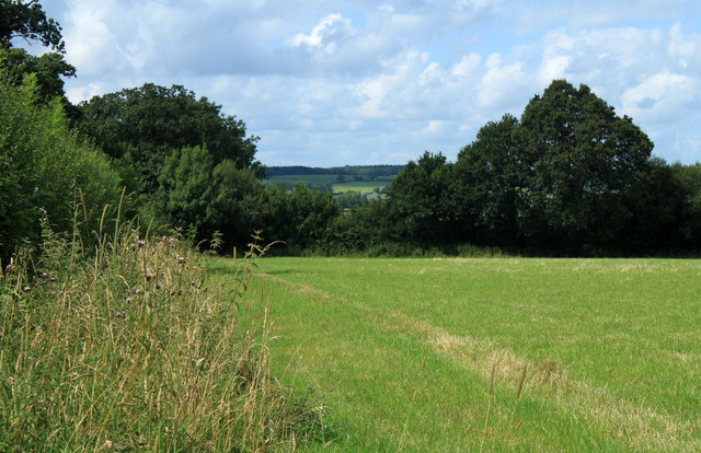
Birch Hill is a prominent hill located in Somerset, England. Situated in the Mendip Hills, it stands at an elevation of approximately 296 meters (971 feet) above sea level. The hill is easily recognizable due to its distinctive shape and lush greenery, making it a popular spot for outdoor enthusiasts and nature lovers.
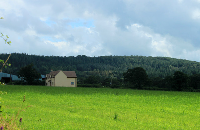
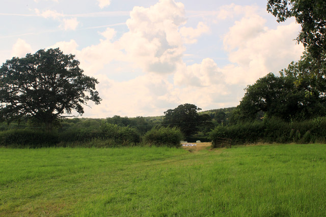
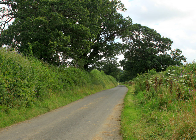
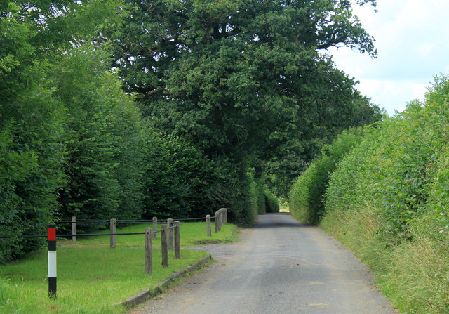
Covered in dense woodland, Birch Hill offers numerous walking trails and paths that allow visitors to explore its natural beauty. The hill is known for its diverse flora and fauna, with various species of plants and wildlife thriving in its protected habitat. It offers picturesque views of the surrounding countryside, with rolling hills and valleys stretching as far as the eye can see.
Birch Hill is also home to several archaeological sites, including ancient burial mounds and remnants of Iron Age settlements. These historical features contribute to the hill's cultural significance and attract history enthusiasts looking to delve into the area's past.
Furthermore, Birch Hill offers recreational activities such as hiking, picnicking, and birdwatching. The hill is a haven for bird species, making it a prime location for birdwatchers to observe and identify different avian species.
Overall, Birch Hill in Somerset is a natural haven, combining scenic beauty, cultural heritage, and recreational opportunities. Whether one is seeking a peaceful stroll amidst nature or a deeper exploration of the region's history, Birch Hill offers a fulfilling experience for all who visit.
If you have any feedback on the listing, please let us know in the comments section below.
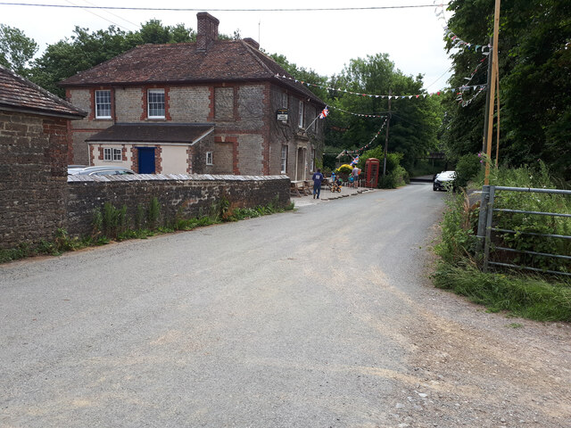
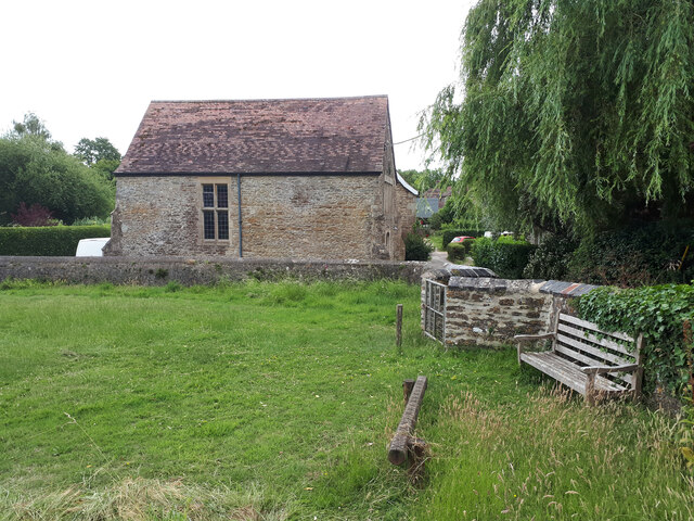
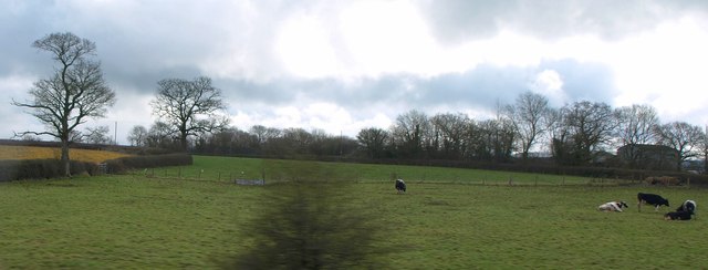
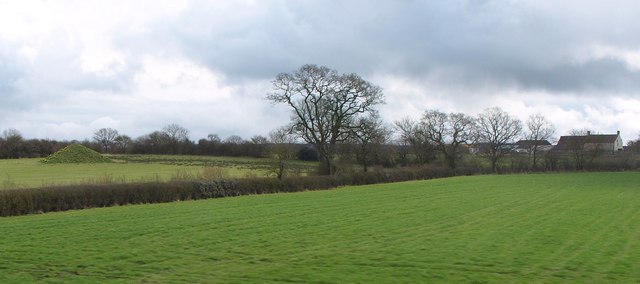
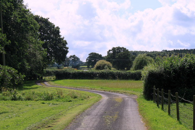
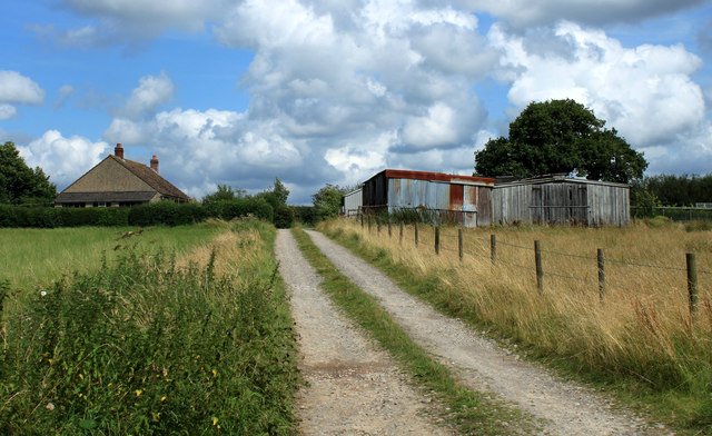
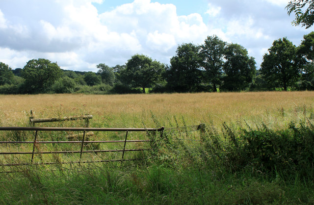
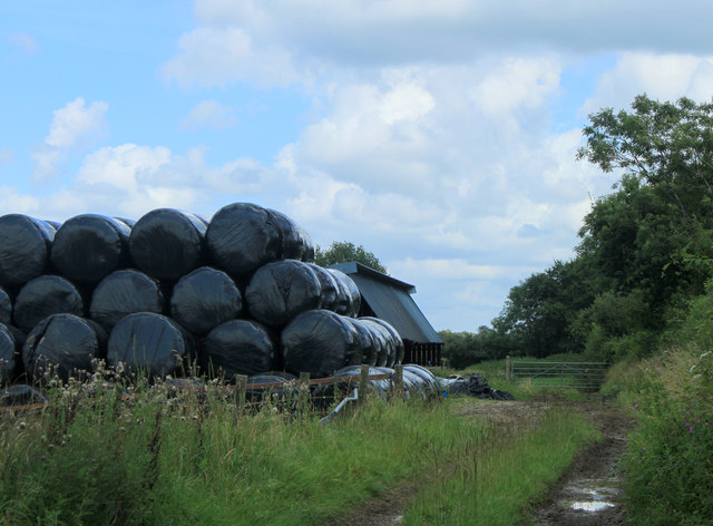
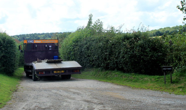
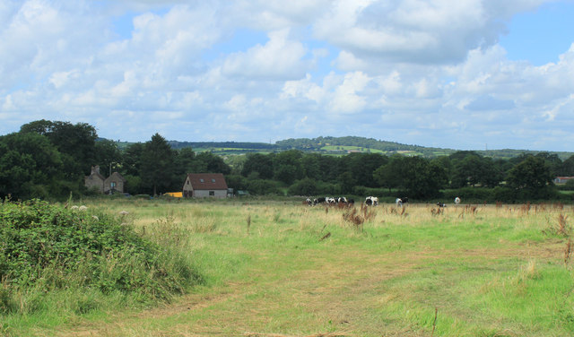
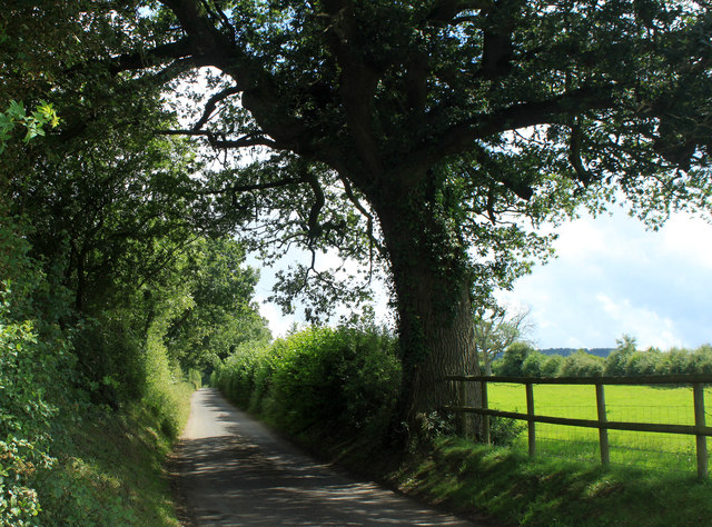
Birch Hill Images
Images are sourced within 2km of 51.151563/-2.3695381 or Grid Reference ST7439. Thanks to Geograph Open Source API. All images are credited.
Birch Hill is located at Grid Ref: ST7439 (Lat: 51.151563, Lng: -2.3695381)
Administrative County: Somerset
District: Mendip
Police Authority: Avon and Somerset
What 3 Words
///tried.providing.exploring. Near Kilmington, Wiltshire
Nearby Locations
Related Wikis

Witham Charterhouse
Witham Charterhouse, also Witham Priory, at Witham Friary, Somerset, was established in 1178/79, the earliest of the ten medieval Carthusian houses (charterhouses...

North Brewham Meadows
North Brewham Meadows (grid reference ST743379) is an 8.9 hectare (21.9 acre) biological Site of Special Scientific Interest at North Brewham in Somerset...

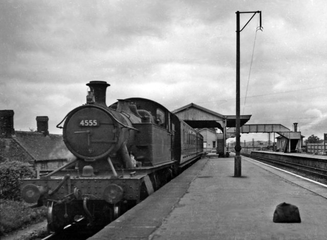
Witham (Somerset) railway station
This station in Somerset is closed. For the open station in East Anglia, see Witham railway station.Witham (Somerset) railway station was a station serving...

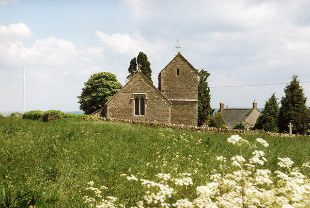
Church of St Mary, Witham Friary
The Church of St Mary in Witham Friary, Somerset, England, dates from around 1200 and it has been designated as a Grade I listed building.The church was...
Witham Friary
Witham Friary is a small English village and civil parish located between the towns of Frome and Bruton in the county of Somerset. It is in the Cranborne...
Upton Noble
Upton Noble is a village and civil parish on the River Frome. It is roughly 4.5 miles (7 km) north-east of Bruton, and 7 miles (11 km) from Frome town...
Church of St Mary Magdalene, Upton Noble
The Anglican Church Of St Mary and St John in Upton Noble, within the English county of Somerset, was built in the 12th century. It is a Grade II* listed...

Wanstrow
Wanstrow is a village and civil parish 6 miles (9.7 km) south west of Frome in Somerset, England. The parish includes the village of Cloford. == History... ==
Have you been to Birch Hill?
Leave your review of Birch Hill below (or comments, questions and feedback).