Bermer Hill
Hill, Mountain in Westmorland Eden
England
Bermer Hill
Bermer Hill, also known as Bermer Mountain, is a prominent geographical feature located in the district of Westmorland, England. Rising to an elevation of approximately 1,425 feet (434 meters), it is considered one of the highest points in the region. Situated within the picturesque Lake District National Park, Bermer Hill offers breathtaking panoramic views of the surrounding countryside.
The hill is characterized by its rugged terrain and steep slopes, covered in lush green vegetation. Its distinct rocky outcrops add to the natural beauty of the landscape. Bermer Hill forms part of the larger Pennines range, which extends across northern England. It is primarily composed of sedimentary rocks, such as sandstone and limestone, which have been shaped over millions of years through geological processes.
The summit of Bermer Hill provides a vantage point from which visitors can appreciate the stunning vistas of the Lake District. On clear days, it is possible to see other notable peaks, including Helvellyn and Skiddaw. The hill is a popular destination for hikers and outdoor enthusiasts who seek to challenge themselves with its steep ascent. Several walking trails and footpaths traverse the area, offering different levels of difficulty for all abilities.
Bermer Hill is not only a natural attraction but also holds historical significance. It has been documented in various archaeological studies, revealing evidence of human activity dating back thousands of years. The hill exemplifies the rich cultural and environmental heritage of Westmorland, making it an important landmark within the region.
If you have any feedback on the listing, please let us know in the comments section below.
Bermer Hill Images
Images are sourced within 2km of 54.528972/-2.3993955 or Grid Reference NY7414. Thanks to Geograph Open Source API. All images are credited.


Bermer Hill is located at Grid Ref: NY7414 (Lat: 54.528972, Lng: -2.3993955)
Administrative County: Cumbria
District: Eden
Police Authority: Cumbria
What 3 Words
///birthdays.broccoli.logs. Near Kirkby Stephen, Cumbria
Nearby Locations
Related Wikis
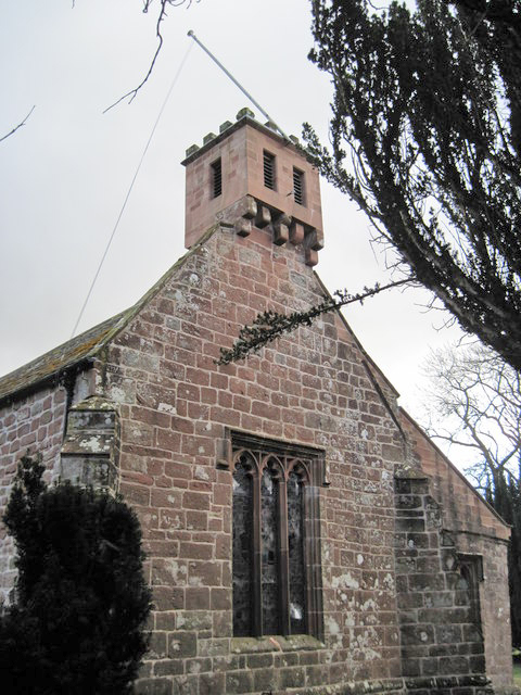
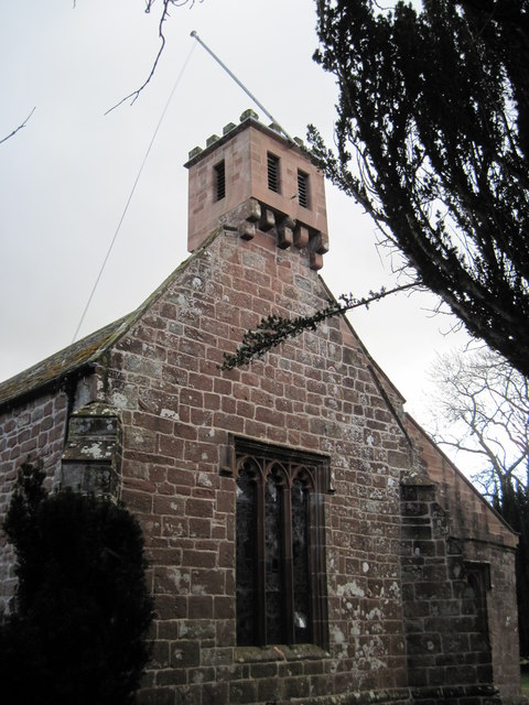
St Columba's Church, Warcop
St Columba's Church is in the village of Warcop, Cumbria, England. It is an active Anglican parish church in the deanery of Appleby, the archdeaconry...

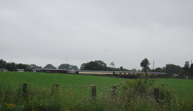
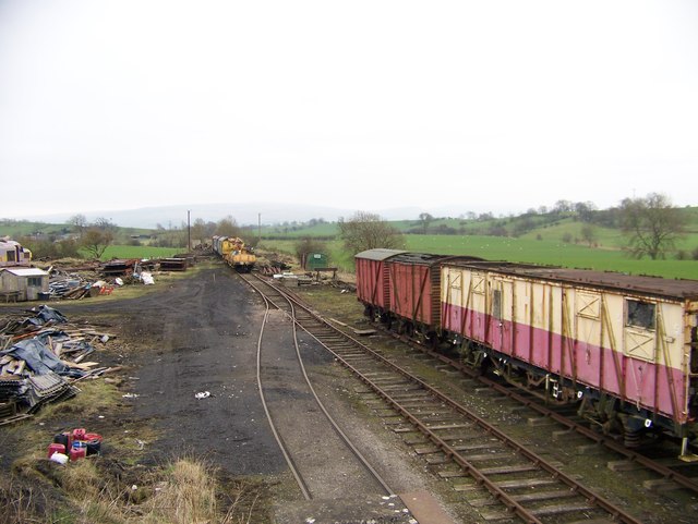
Warcop railway station
Warcop railway station was situated on the Eden Valley Railway between Penrith and Kirkby Stephen East. It served the village of Warcop. The station opened...
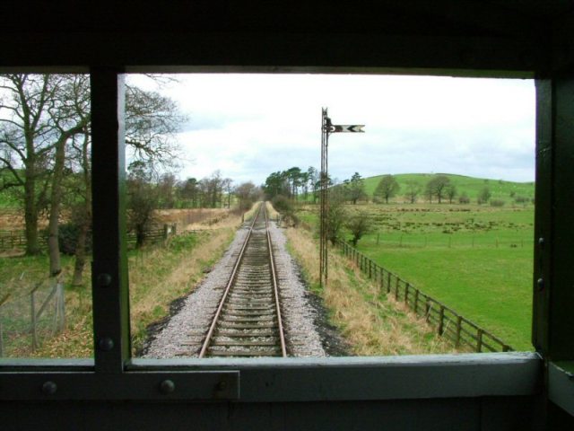
Eden Valley Railway (heritage railway)
The Eden Valley Railway (EVR) is a standard gauge heritage railway in Cumbria, England. It runs over a 2.2 miles (3.5 km) section of the original Eden...
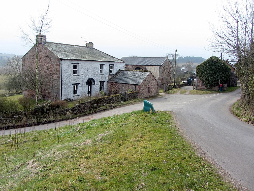
Bleatarn
Bleatarn is a hamlet in Cumbria, England. It is located 3.3 miles (5.3 km) by road to the northwest of Soulby. == See also == List of places in Cumbria...
Nearby Amenities
Located within 500m of 54.528972,-2.3993955Have you been to Bermer Hill?
Leave your review of Bermer Hill below (or comments, questions and feedback).