Wickhambrook

Civil Parish in Suffolk St Edmundsbury

England

Wickhambrook

Cropmarks on fields north of Meeting Green: aerial 2022 (1)
Cropmarks on fields north of Meeting Green: aerial 2022 (1) Credit: Chris

Wickhambrook is a civil parish located in the county of Suffolk, England. Situated approximately 13 miles east of Bury St Edmunds, it falls within the St Edmundsbury district. The parish covers an area of around 13 square miles and is home to a population of about 1,600 residents.

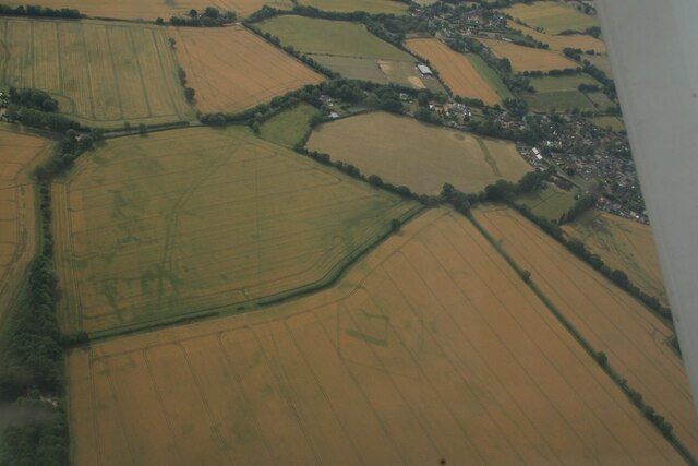
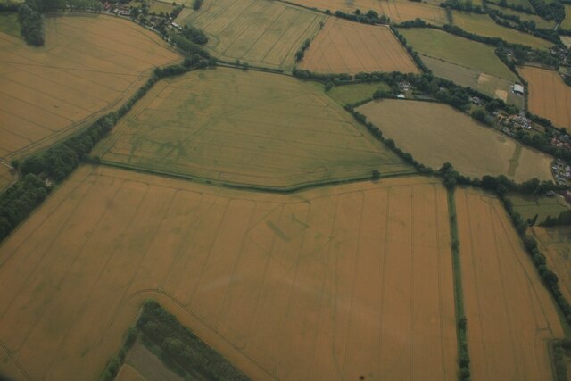
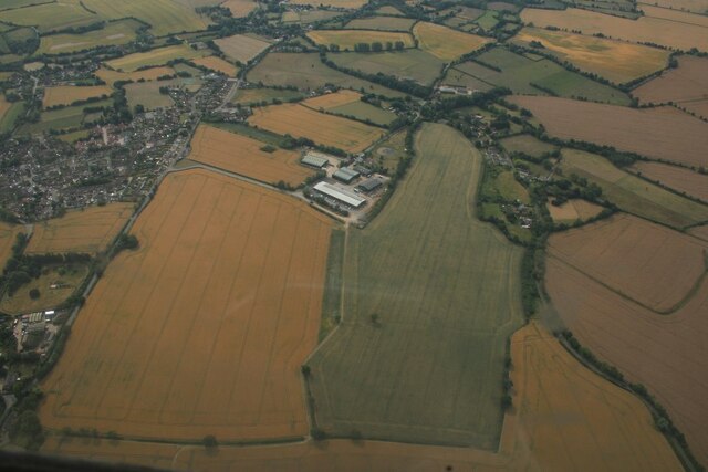
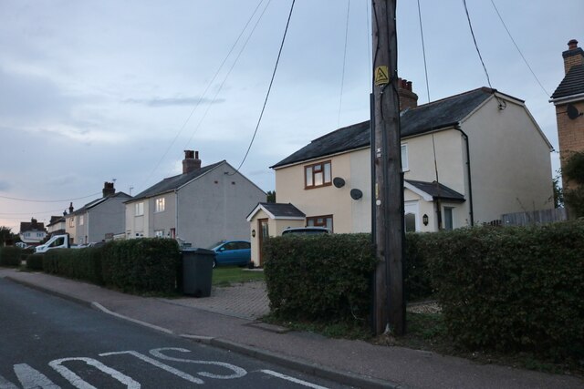
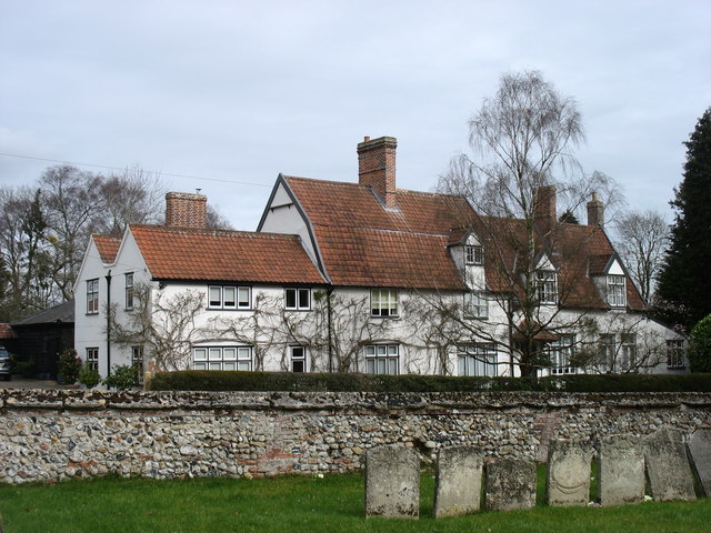
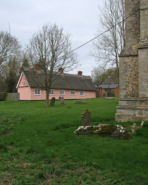
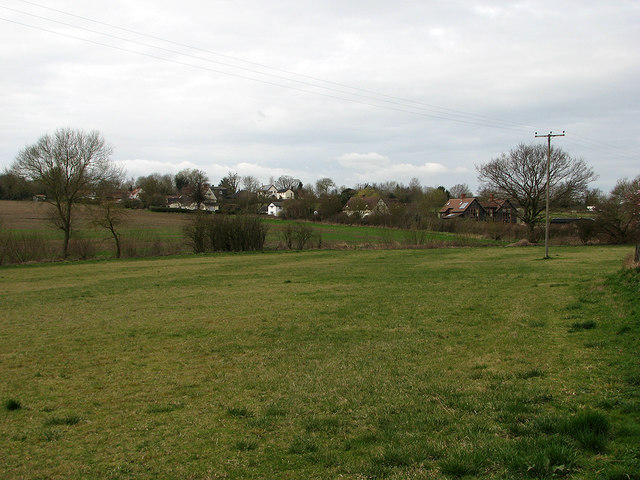
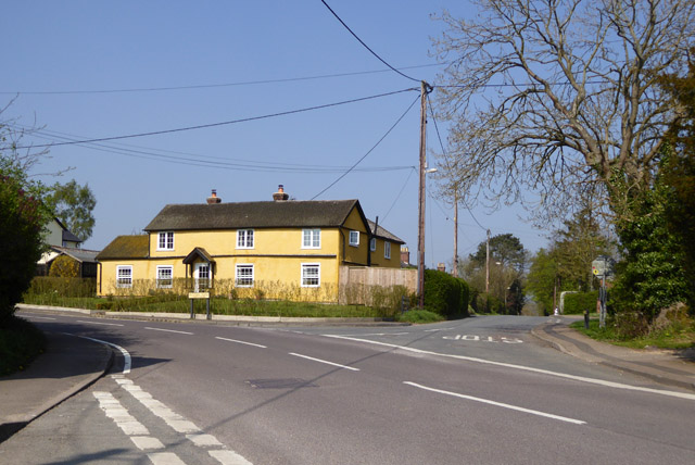
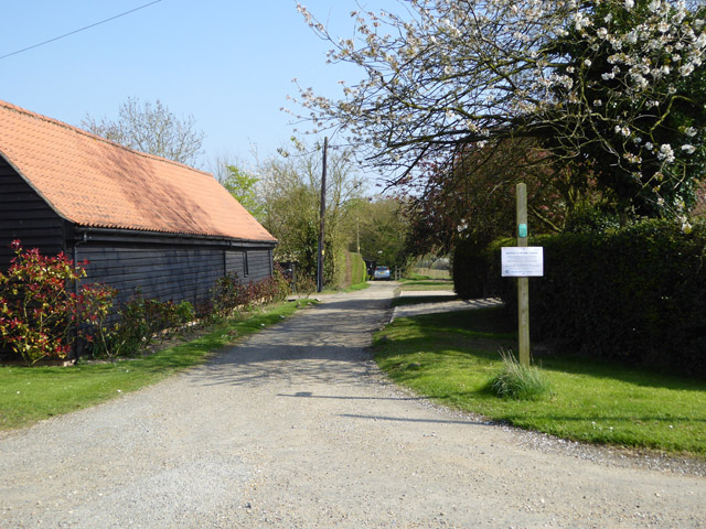
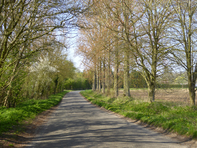
The village of Wickhambrook is the main settlement within the parish. It is a picturesque rural village with a rich history dating back to the medieval period. The village is known for its charming thatched cottages, historic buildings, and beautiful countryside surroundings. It is surrounded by agricultural land, with farming being a significant part of the local economy.

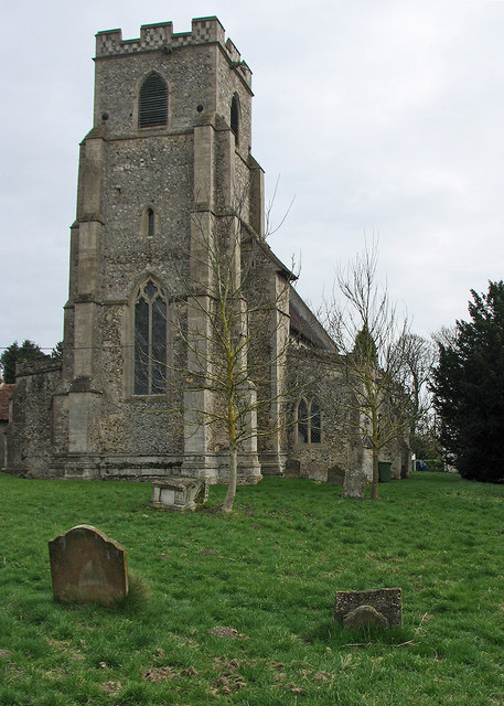
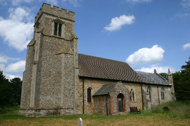
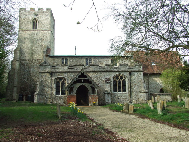
Wickhambrook boasts a range of amenities and facilities to cater to the needs of its residents. These include a primary school, a village hall, a community center, a post office, a convenience store, and a pub. The village also has a church, St. Margaret's, which dates back to the 12th century and is a notable architectural landmark.

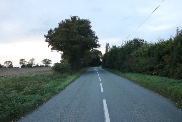
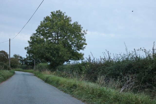
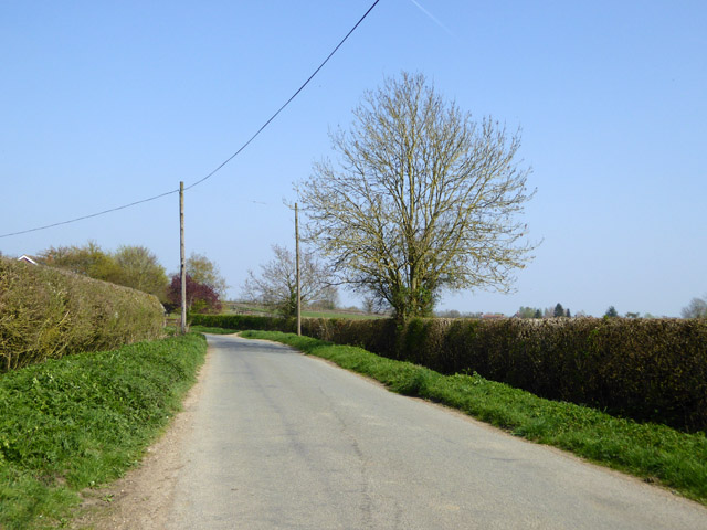
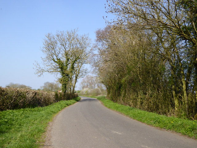
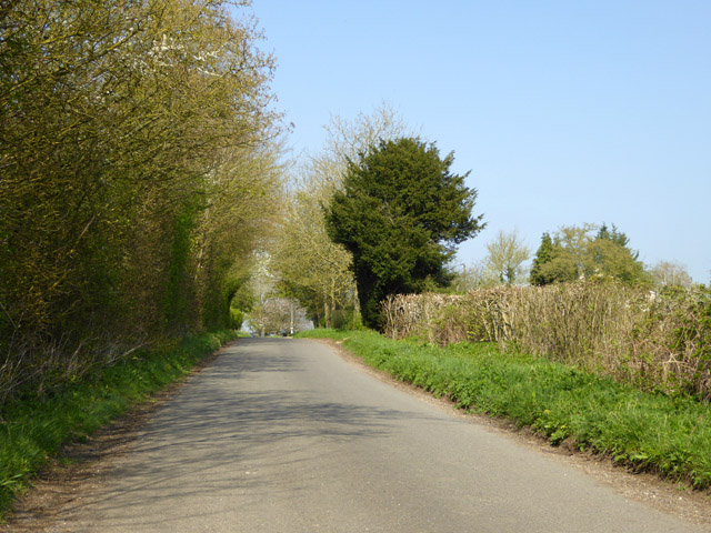
The parish is well-connected to nearby towns and cities through road networks, with the A143 passing through the village. Public transportation is available in the form of bus services, providing links to neighboring areas. The village is surrounded by beautiful countryside, offering opportunities for outdoor activities such as walking, cycling, and horse riding.

Overall, Wickhambrook is a peaceful and charming civil parish in Suffolk, offering a close-knit community and a serene rural lifestyle.

If you have any feedback on the listing, please let us know in the comments section below.

Wickhambrook Images

Images are sourced within 2km of 52.172042/0.562811 or Grid Reference TL7555. Thanks to Geograph Open Source API. All images are credited.

Cropmarks on fields north of Meeting Green: aerial 2022 (1)
Cropmarks on fields north of Meeting Green: aerial 2022 (2)
Cropmarks on fields west of Meeting Green: aerial 2022 (1)
Houses on Bunters Road, Wickhambrook
The B1063, Wickhambook
The road from Attleton Green to Wickhambrook Here is Robin Webster's similar view.
The road from Attleton Green to Wickhambrook
Here is Robin Webster's similar view.
Wickhambrook: All Saints "Mostly Dec ... Tall two-light reticulated window in the W tower" (Nikolaus Pevsner).
Wickhambrook: All Saints
"Mostly Dec ... Tall two-light reticulated window in the W tower" (Nikolaus Pevsner).
Wickhambrook: All Saints - Saxon carving "A small Saxon figure of a man with a shield, outside in the S wall" (Nikolaus Pevsner).
Wickhambrook: All Saints - Saxon carving
"A small Saxon figure of a man with a shield, outside in the S wall" (Nikolaus Pevsner).
"The White House", Wickhambrook Taken from the churchyard of All Saints church.
"The White House", Wickhambrook
Taken from the churchyard of All Saints church.
Wickhambrook churchyard and almshouses The Suffolk-pink building is the Grade II listed almshouses. The listing text reads "A range of C17 timber-framed and plastered almshouses built by Anthony Sparrow in 1615. A tablet states that they were restored in 1897 and the doors and windows are of that period. Casement windows with glazing bars. Roof thatched".
Wickhambrook churchyard and almshouses
The Suffolk-pink building is the Grade II listed almshouses. The listing text reads "A range of C17 timber-framed and plastered almshouses built by Anthony Sparrow in 1615. A tablet states that they were restored in 1897 and the doors and windows are of that period. Casement windows with glazing bars. Roof thatched".
Wickhambrook Glebe Field A view from the churchyard. Wickhambrook is a straggling village and the church is at its southern edge.
Wickhambrook Glebe Field
A view from the churchyard. Wickhambrook is a straggling village and the church is at its southern edge.
Road east from Attleton Green
House at the crossroads A sunny house on a sunny day.
House at the crossroads
A sunny house on a sunny day.
Lane north from Wickhambrook
Public byway east from Park Gate The notice on the post is addressed to byway users but I could not read the small print from a distance.
Public byway east from Park Gate
The notice on the post is addressed to byway users but I could not read the small print from a distance.
Attleton Green: aerial 2017
Road towards Genesis Green From the Meeting Green direction.
Road towards Genesis Green
From the Meeting Green direction.
Lane towards Genesis Green
Show me another place!

Wickhambrook is located at Grid Ref: TL7555 (Lat: 52.172042, Lng: 0.562811)

Administrative County: Suffolk

District: St Edmundsbury

Police Authority: Suffolk

What 3 Words

///paints.extension.amuses. Near Kedington, Suffolk

Related Wikis

Coltsfoot Green

Coltsfoot Green is a small hamlet within the village of Wickhambrook, Suffolk, England. It constitutes one of its eleven village greens and consists of...

Wickhambrook

Wickhambrook is a village and civil parish in the West Suffolk district of Suffolk in eastern England. It is about ten miles (16 km) south-west from Bury...

Gifford's Hall, Wickhambrook

Gifford's Hall is a manor house in the civil parish of Wickhambrook, in the West Suffolk district, in the county of Suffolk, England. It is Grade I listed...

Attleton Green

Attleton Green is a hamlet in Suffolk, England. == External links == Media related to Attleton Green at Wikimedia Commons

Depden

Depden is a village and civil parish in the West Suffolk district of Suffolk in eastern England. Located on the A143 around five miles south-west of Bury...

Denston

Denston is a village and civil parish in the West Suffolk district of Suffolk in eastern England. Located around eight miles south-west of Bury St Edmunds...

Great Wood Hill

At 128 metres (420 ft), Great Wood Hill, near Chedburgh, is the highest point in the English county of Suffolk. It is the highest part of the Newmarket...

Stradishall

Stradishall is a village and civil parish in West Suffolk in the English county of Suffolk. The civil parish includes a number of hamlets including Farley...

Nearby Amenities

Located within 500m of 52.172042,0.562811
Bus Stop
Coltsfoot Close
Naptan AtcoCode: 390051084
Naptan Bearing: W
Naptan BusStopType: CUS
Naptan CommonName: Coltsfoot Close
Naptan Indicator: adj
Naptan Landmark: Coltsfoot Close
Naptan NaptanCode: sufjgtwg
Naptan Street: Fullers Hill
Naptan Verified: no
Source: naptan_import
Lat/Long: 52.1696256/0.5569843
Bus Stop
Coltsfoot Close
Naptan AtcoCode: 390051085
Naptan Bearing: E
Naptan BusStopType: CUS
Naptan CommonName: Coltsfoot Close
Naptan Indicator: opp
Naptan Landmark: Coltsfoot Close
Naptan NaptanCode: sufjgtwj
Naptan Street: Fullers Hill
Naptan Verified: no
Source: naptan_import
Lat/Long: 52.1696882/0.5570025
The data included in this document is from www.openstreetmap.org. The data is made available under ODbL.

Have you been to Wickhambrook?

Leave your review of Wickhambrook below (or comments, questions and feedback).