Ashfield Green
Settlement in Suffolk West Suffolk
England
Ashfield Green
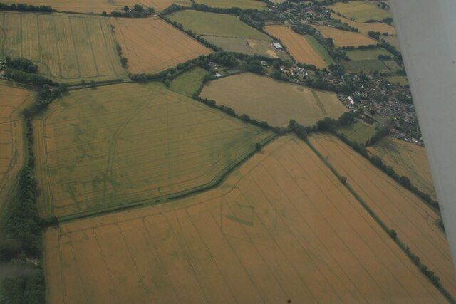
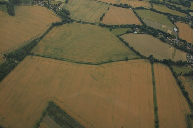
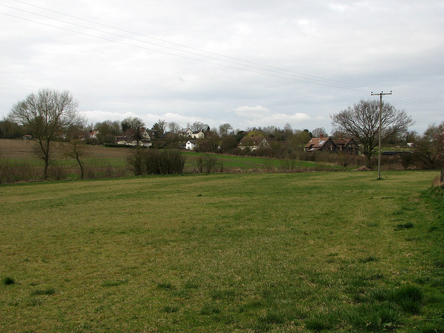
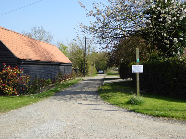
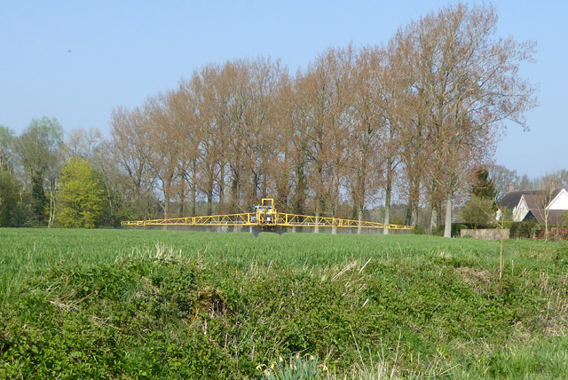
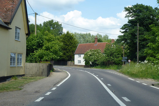
Ashfield Green is a picturesque village located in the county of Suffolk, England. Nestled amidst the scenic countryside, the village is surrounded by lush green fields and rolling hills, providing a tranquil and idyllic setting for its residents.
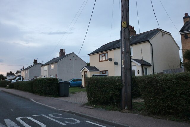
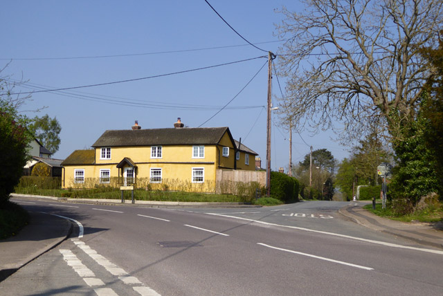
The village is home to a small and close-knit community, consisting of approximately 200 residents. The charming houses and cottages in Ashfield Green exhibit traditional Suffolk architecture, adding to the village's charm and character.
One of the notable features of Ashfield Green is its village green, a central meeting point for locals, where various community events and gatherings take place throughout the year. The green is beautifully maintained, with a well-manicured lawn and benches for visitors to sit and enjoy the peaceful atmosphere.
In terms of amenities, Ashfield Green boasts a village hall that serves as a hub for social activities and events. The hall hosts a range of activities, including fitness classes, art exhibitions, and community meetings. Additionally, the village has a small pub, which is a popular spot for residents to socialize and enjoy a drink or a meal together.
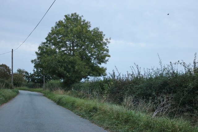
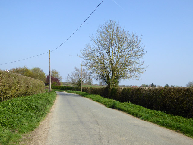
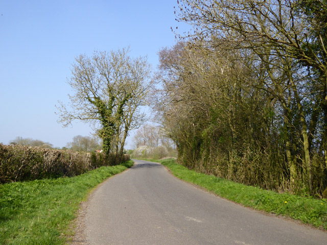
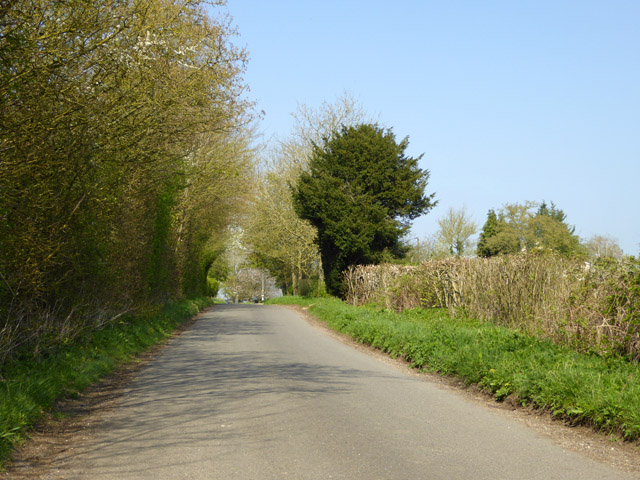
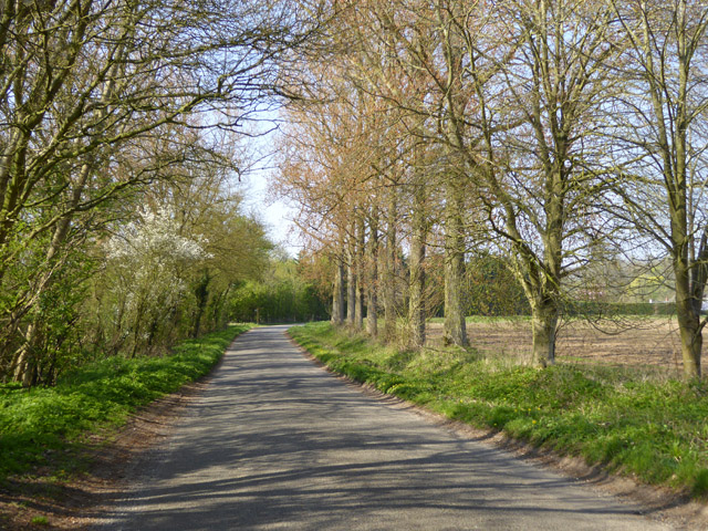
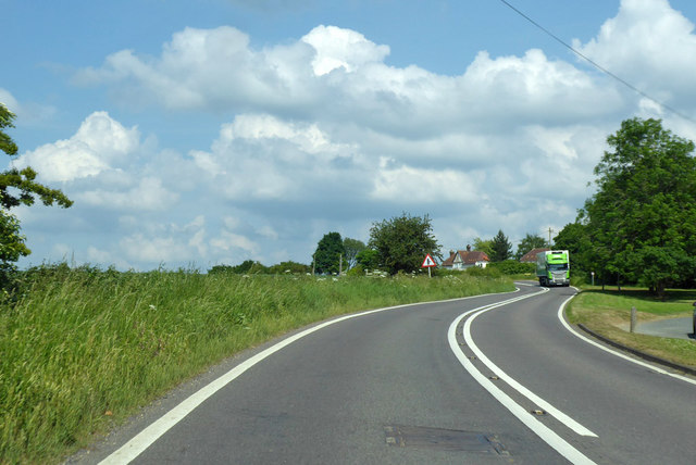
Surrounded by stunning natural beauty, Ashfield Green offers numerous opportunities for outdoor activities. The village is surrounded by walking trails and cycling routes, allowing residents and visitors to explore the scenic countryside at their leisure.
Overall, Ashfield Green is a charming and welcoming village that offers a peaceful and picturesque lifestyle for its residents, making it an attractive place to live or visit in Suffolk.
If you have any feedback on the listing, please let us know in the comments section below.
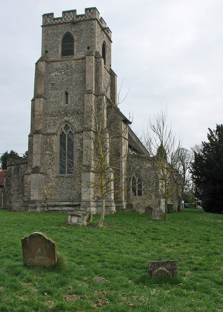
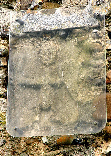
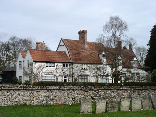
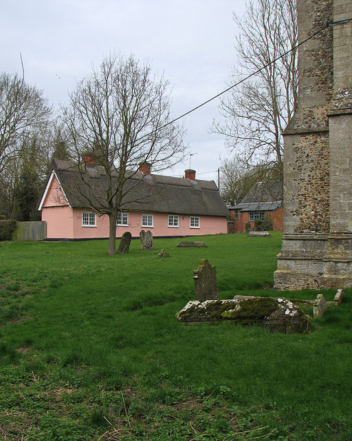
Ashfield Green Images
Images are sourced within 2km of 52.172063/0.57198636 or Grid Reference TL7555. Thanks to Geograph Open Source API. All images are credited.
Ashfield Green is located at Grid Ref: TL7555 (Lat: 52.172063, Lng: 0.57198636)
Administrative County: Suffolk
District: West Suffolk
Police Authority: Suffolk
What 3 Words
///cheek.incursion.dude. Near Glemsford, Suffolk
Nearby Locations
Related Wikis

Coltsfoot Green
Coltsfoot Green is a small hamlet within the village of Wickhambrook, Suffolk, England. It constitutes one of its eleven village greens and consists of...

Wickhambrook
Wickhambrook is a village and civil parish in the West Suffolk district of Suffolk in eastern England. It is about ten miles (16 km) south-west from Bury...
Gifford's Hall, Wickhambrook
Gifford's Hall is a manor house in the civil parish of Wickhambrook, in the West Suffolk district, in the county of Suffolk, England. It is Grade I listed...
Depden
Depden is a village and civil parish in the West Suffolk district of Suffolk in eastern England. Located on the A143 around five miles south-west of Bury...

Great Wood Hill
At 128 metres (420 ft), Great Wood Hill, near Chedburgh, is the highest point in the English county of Suffolk. It is the highest part of the Newmarket...

Newmarket Ridge
The Newmarket Ridge or East Anglian Ridge is a ridge starting north-west of Hertford, Hertfordshire near the Chiltern Hills and ending near Sudbury, Suffolk...

Denston
Denston is a village and civil parish in the West Suffolk district of Suffolk in eastern England. Located around eight miles south-west of Bury St Edmunds...
Attleton Green
Attleton Green is a hamlet in Suffolk, England. == External links == Media related to Attleton Green at Wikimedia Commons
Nearby Amenities
Located within 500m of 52.172063,0.57198636Have you been to Ashfield Green?
Leave your review of Ashfield Green below (or comments, questions and feedback).