Fuller's Hill

Hill, Mountain in Suffolk West Suffolk

England

Fuller's Hill

Cropmarks on fields north of Meeting Green: aerial 2022 (1)
Cropmarks on fields north of Meeting Green: aerial 2022 (1) Credit: Chris

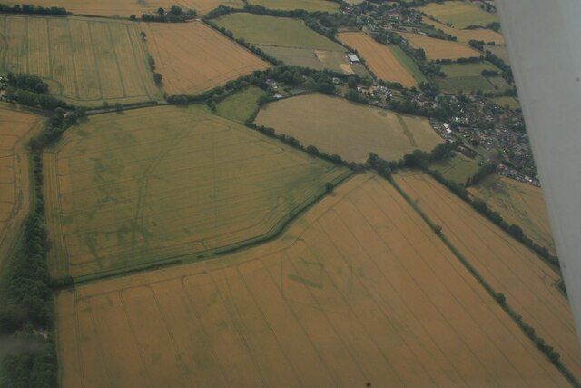
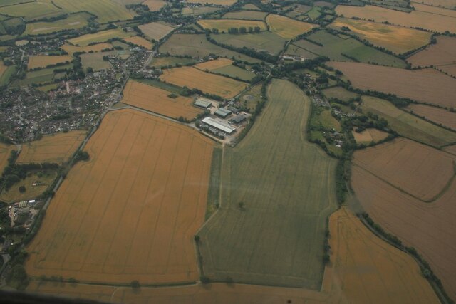
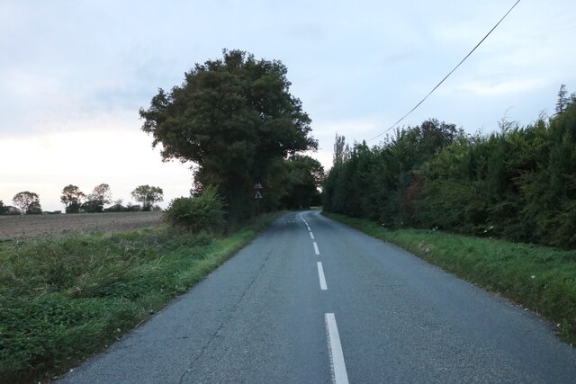
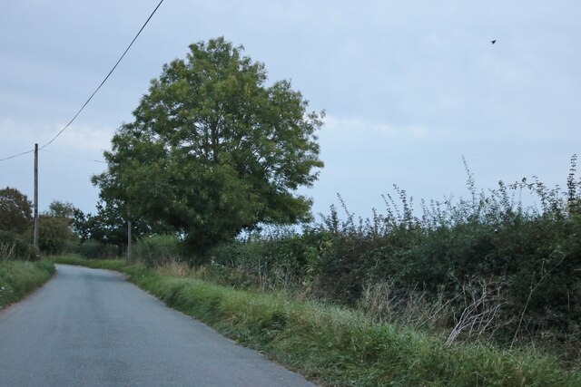
Fuller's Hill is a prominent hill located in the county of Suffolk, England. Situated near the village of Westleton, this natural landmark is part of the larger area known as the Suffolk Coast and Heaths Area of Outstanding Natural Beauty.

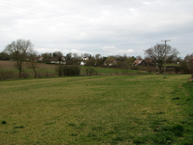
Rising to an elevation of approximately 68 meters (223 feet), Fuller's Hill is not classified as a mountain but rather a hill. It offers panoramic views of the surrounding countryside, including the nearby coastal areas. The hill itself is characterized by its gentle slopes, covered in lush green vegetation and dotted with trees.

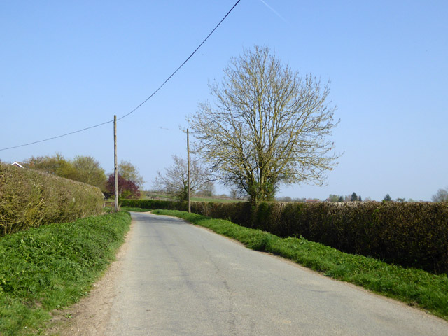
Fuller's Hill is a popular destination for walkers, hikers, and nature enthusiasts, as it provides various walking trails and paths that showcase the beauty of the Suffolk landscape. The hill offers a tranquil and serene setting, perfect for those seeking a peaceful retreat away from the hustle and bustle of everyday life.

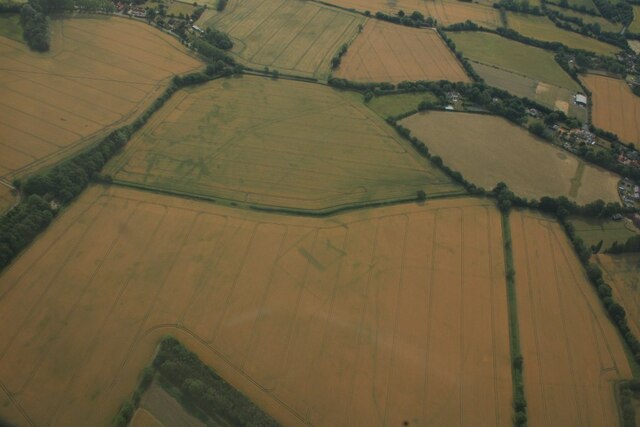
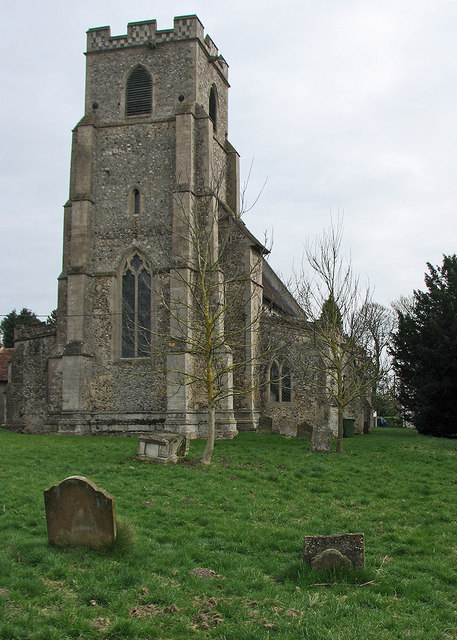
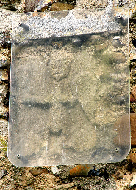
In addition to its natural beauty, Fuller's Hill also holds historical significance. The area is known for its ancient burial mounds, providing evidence of human activity in the region dating back thousands of years.

Overall, Fuller's Hill in Suffolk is a picturesque and culturally significant landmark, attracting visitors from near and far. Whether it's for a leisurely walk, a picnic with family and friends, or a moment of reflection in nature, this hill offers a peaceful escape and a chance to appreciate the natural and historical wonders of Suffolk.

If you have any feedback on the listing, please let us know in the comments section below.

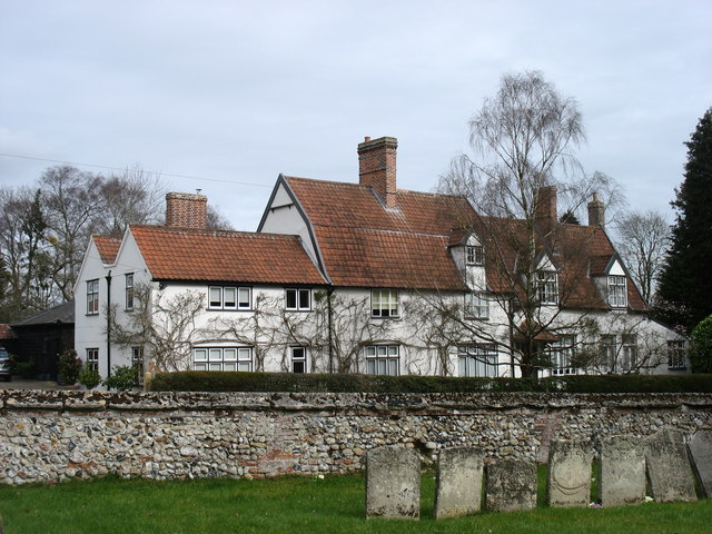
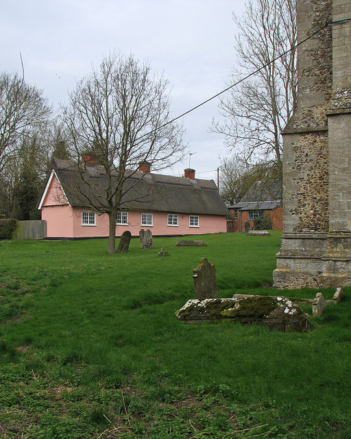
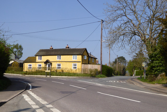
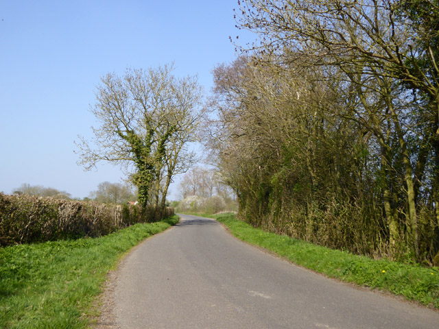
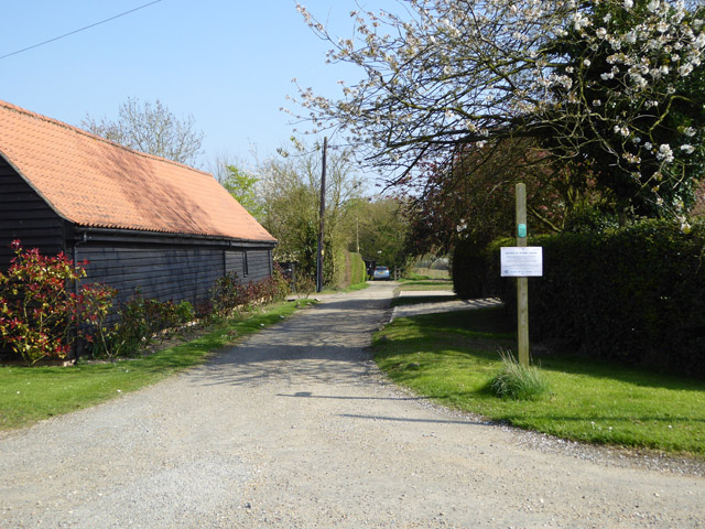
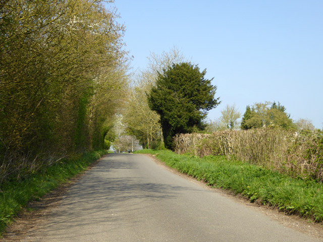
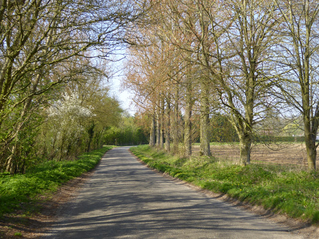
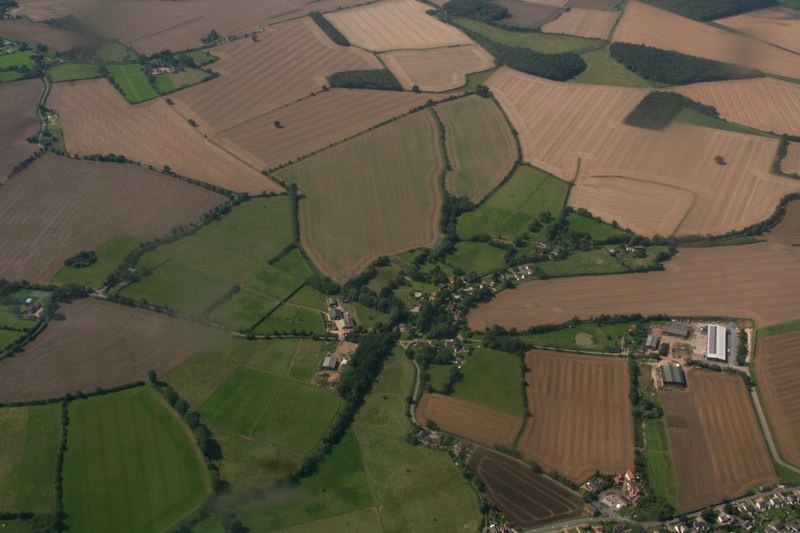
Fuller's Hill Images

Images are sourced within 2km of 52.169435/0.56589699 or Grid Reference TL7555. Thanks to Geograph Open Source API. All images are credited.

Cropmarks on fields north of Meeting Green: aerial 2022 (1)
Cropmarks on fields north of Meeting Green: aerial 2022 (2)
Cropmarks on fields west of Meeting Green: aerial 2022 (1)
Houses on Bunters Road, Wickhambrook
The B1063, Wickhambook
The road from Attleton Green to Wickhambrook Here is Robin Webster's similar view.
The road from Attleton Green to Wickhambrook
Here is Robin Webster's similar view.
Wickhambrook: All Saints "Mostly Dec ... Tall two-light reticulated window in the W tower" (Nikolaus Pevsner).
Wickhambrook: All Saints
"Mostly Dec ... Tall two-light reticulated window in the W tower" (Nikolaus Pevsner).
Wickhambrook: All Saints - Saxon carving "A small Saxon figure of a man with a shield, outside in the S wall" (Nikolaus Pevsner).
Wickhambrook: All Saints - Saxon carving
"A small Saxon figure of a man with a shield, outside in the S wall" (Nikolaus Pevsner).
"The White House", Wickhambrook Taken from the churchyard of All Saints church.
"The White House", Wickhambrook
Taken from the churchyard of All Saints church.
Wickhambrook churchyard and almshouses The Suffolk-pink building is the Grade II listed almshouses. The listing text reads "A range of C17 timber-framed and plastered almshouses built by Anthony Sparrow in 1615. A tablet states that they were restored in 1897 and the doors and windows are of that period. Casement windows with glazing bars. Roof thatched".
Wickhambrook churchyard and almshouses
The Suffolk-pink building is the Grade II listed almshouses. The listing text reads "A range of C17 timber-framed and plastered almshouses built by Anthony Sparrow in 1615. A tablet states that they were restored in 1897 and the doors and windows are of that period. Casement windows with glazing bars. Roof thatched".
Wickhambrook Glebe Field A view from the churchyard. Wickhambrook is a straggling village and the church is at its southern edge.
Wickhambrook Glebe Field
A view from the churchyard. Wickhambrook is a straggling village and the church is at its southern edge.
Road east from Attleton Green
House at the crossroads A sunny house on a sunny day.
House at the crossroads
A sunny house on a sunny day.
Lane north from Wickhambrook
Public byway east from Park Gate The notice on the post is addressed to byway users but I could not read the small print from a distance.
Public byway east from Park Gate
The notice on the post is addressed to byway users but I could not read the small print from a distance.
Attleton Green: aerial 2017
Road towards Genesis Green From the Meeting Green direction.
Road towards Genesis Green
From the Meeting Green direction.
Lane towards Genesis Green
Show me another place!

Fuller's Hill is located at Grid Ref: TL7555 (Lat: 52.169435, Lng: 0.56589699)

Administrative County: Suffolk

District: West Suffolk

Police Authority: Suffolk

What 3 Words

///lyrics.gushes.lungs. Near Glemsford, Suffolk

Related Wikis

Coltsfoot Green

Coltsfoot Green is a small hamlet within the village of Wickhambrook, Suffolk, England. It constitutes one of its eleven village greens and consists of...

Wickhambrook

Wickhambrook is a village and civil parish in the West Suffolk district of Suffolk in eastern England. It is about ten miles (16 km) south-west from Bury...

Gifford's Hall, Wickhambrook

Gifford's Hall is a manor house in the civil parish of Wickhambrook, in the West Suffolk district, in the county of Suffolk, England. It is Grade I listed...

Attleton Green

Attleton Green is a hamlet in Suffolk, England. It is part of the Whepstead & Wickhambrook Electoral division of West Suffolk District. Attleton Green...

Have you been to Fuller's Hill?

Leave your review of Fuller's Hill below (or comments, questions and feedback).