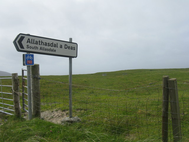
Allasdale

Settlement in Inverness-shire

Scotland

Allasdale

Stong Mòr Looking north across a rocky bay west of Borve/Borgh. A camp site is in the foreground.
Stong Mòr Credit: M J Richardson

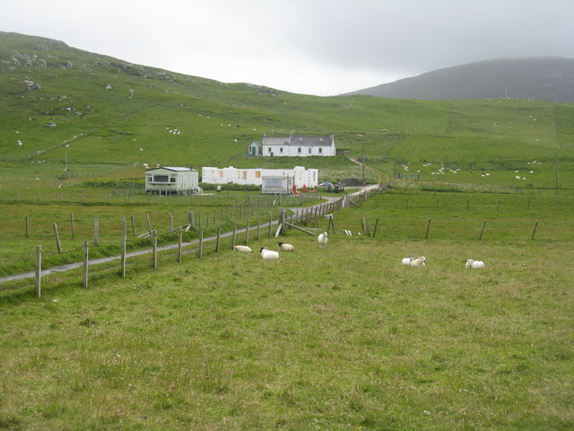
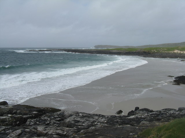
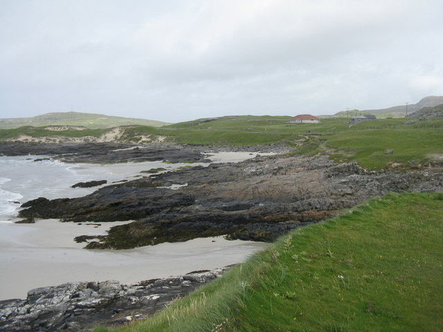
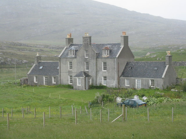
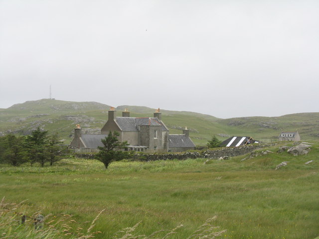
Allasdale is a small hamlet located in Inverness-shire, Scotland. Situated in the picturesque Scottish Highlands, it is surrounded by stunning natural landscapes and offers a peaceful and idyllic setting for its residents and visitors alike.

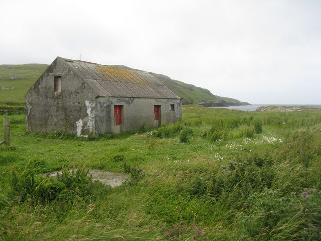
Despite its small size, Allasdale boasts a close-knit community that takes pride in its rich history and heritage. The hamlet is known for its traditional Scottish architecture, with many of its buildings constructed from local stone. The nearby River Spean adds to the charm of the area, providing opportunities for fishing and scenic walks along its banks.

Allasdale is primarily a residential area, with a limited number of amenities. However, it benefits from its close proximity to nearby towns and villages, such as Fort William, which provide additional services and facilities. The hamlet is also well-connected by road, making it easily accessible to those looking to explore the wider region.

Nature enthusiasts are drawn to Allasdale for its abundance of outdoor activities. The surrounding area offers ample opportunities for hiking, mountain biking, and wildlife spotting. Nearby landmarks, such as Ben Nevis, the highest mountain in the British Isles, attract climbers and mountaineers from around the world.

Overall, Allasdale offers a tranquil and picturesque retreat in the heart of the Scottish Highlands. Its beautiful landscapes, rich history, and welcoming community make it an attractive destination for those seeking a peaceful and authentic Scottish experience.

If you have any feedback on the listing, please let us know in the comments section below.

Allasdale Images

Images are sourced within 2km of 56.996524/-7.5038347 or Grid Reference NF6502. Thanks to Geograph Open Source API. All images are credited.
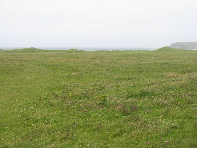
Stong Mòr Looking north across a rocky bay west of Borve/Borgh. A camp site is in the foreground.
Stong Mòr
Looking north across a rocky bay west of Borve/Borgh. A camp site is in the foreground.
Looking north to Port na Cille The site of an old chapel and a burial ground.
Looking north to Port na Cille
The site of an old chapel and a burial ground.
Gob Bhuirgh A low headland near Borve catching the sea.
Gob Bhuirgh
A low headland near Borve catching the sea.
Houses at Borve/Borgh Two existing and two under construction.
Houses at Borve/Borgh
Two existing and two under construction.
Houses at Borve/Borgh With Beinn Mhartainn appearing to tower behind, even though it is only 244m a.s.l.
Houses at Borve/Borgh
With Beinn Mhartainn appearing to tower behind, even though it is only 244m a.s.l.
Standing stone at Borve/Borgh One of two close together according to the map, but only one visible from the road. A lack of parking and a wild wind making it difficult to stand, made me disinclined to investigate closer.
Standing stone at Borve/Borgh
One of two close together according to the map, but only one visible from the road. A lack of parking and a wild wind making it difficult to stand, made me disinclined to investigate closer.
Tràigh Hamara Looking northwest to Sgeir Liath, and the headland of Ceann Àird Ghrèin beyond.
Tràigh Hamara
Looking northwest to Sgeir Liath, and the headland of Ceann Àird Ghrèin beyond.
Coast near Borve/Borgh Looking towards Allathasdal.
Coast near Borve/Borgh
Looking towards Allathasdal.
Tràigh Tuath Looking southwest to Port Caol, with the headland of Rubha na Doirlinne beyond.
Tràigh Tuath
Looking southwest to Port Caol, with the headland of Rubha na Doirlinne beyond.
Sign for Allathasdal a Deas/South Allasdale And NCN780 on the A888 circular road on Barra.
Sign for Allathasdal a Deas/South Allasdale
And NCN780 on the A888 circular road on Barra.
Pasture on and behind dunes at South Allasdale
House at Lòn Mòr Across the Abhainn Chuidhir from the cemetery. The bus is the Barra Community Bus.
House at Lòn Mòr
Across the Abhainn Chuidhir from the cemetery. The bus is the Barra Community Bus.
Pasture and sandunes The Abhainn Cuidhir reaches the sea at the northern end of the dune.The cut grass on the left is the eastern part of the cemetery. The hill, with mast, is Cnoc an Fhithich.
Pasture and sandunes
The Abhainn Cuidhir reaches the sea at the northern end of the dune.The cut grass on the left is the eastern part of the cemetery. The hill, with mast, is Cnoc an Fhithich.
Cemetery at Allathasdal Beyond are the eroding dunes of Àird Allathasdal.
Cemetery at Allathasdal
Beyond are the eroding dunes of Àird Allathasdal.
Large house at Cuidhir Labelled on the map as a manse, but I suspect it is not anymore. See <a href="https://www.geograph.org.uk/photo/4606858">NF6703 : House at Cuidhir</a>.
Large house at Cuidhir
Labelled on the map as a manse, but I suspect it is not anymore. See NF6703 : House at Cuidhir.
Manse at Cuidhir Labelled on the map as such, but it may no longer be used as such - it looks short of tlc. See <a href="https://www.geograph.org.uk/photo/4606858">NF6703 : House at Cuidhir</a>. The hill beyond, with the mast, is Cnoc an Fhithich.
Manse at Cuidhir
Labelled on the map as such, but it may no longer be used as such - it looks short of tlc. See NF6703 : House at Cuidhir. The hill beyond, with the mast, is Cnoc an Fhithich.
Shed at Cliaid At the end of the road near Àird Mhurain.
Shed at Cliaid
At the end of the road near Àird Mhurain.
Fields between Cleat/Cleit and Grein Gently sloping strip fields come down to the coast. The map shows a relatively large area [approx. 2.75ha [about 8acres]] subdivided into long narrow strips, not seen very clearly from the ground when it is all in grass.
Fields between Cleat/Cleit and Grein
Gently sloping strip fields come down to the coast. The map shows a relatively large area [approx. 2.75ha [about 8acres]] subdivided into long narrow strips, not seen very clearly from the ground when it is all in grass.
Show me another place!

Allasdale is located at Grid Ref: NF6502 (Lat: 56.996524, Lng: -7.5038347)

Unitary Authority: Na h-Eileanan an Iar

Police Authority: Highlands and Islands

Also known as: Allathasdal

What 3 Words

///published.insert.derailed. Near CastleBay, Na h-Eileanan Siar

Related Wikis

Allasdale

Allasdale (Scottish Gaelic: Athalasdal, pronounced [ˈa.əl̪ˠəs̪t̪əl̪ˠ]) is a settlement on Barra in the Outer Hebrides, Scotland. The settlement is also...

Isle of Barra distillery

Isle of Barra distillery at Borve, Barra, Scotland is a planned future whisky distillery on Barra. The Barra Distillery company was founded in 2003 but...

Borve, Barra

Borve (Scottish Gaelic: Borgh) is a village on the west coast of the island of Barra in the Outer Hebrides, Scotland. Borve is within the parish of Barra...

Barra

Barra (; Scottish Gaelic: Barraigh [ˈparˠaj] or Eilean Bharraigh [ˈelan ˈvarˠaj] ; Scots: Barra) is an island in the Outer Hebrides, Scotland, and the...

Heaval

Heaval is the highest hill on the Outer Hebridean island of Barra, Scotland. The highest point is 383 metres high above sea level and it is located 1.5...

Northbay

Northbay (Scottish Gaelic: Am Bàgh a Tuath) is a township and community in the north of Barra in the Outer Hebrides, off the west coast of Scotland. Northbay...

Castlebay Community School

Castlebay Community School is a bilingual Gaelic/English school for ages 3–18 on the Scottish island of Barra.In September 2007, it hosted a major tribute...

Barrathon

The Barrathon is an annual half marathon which takes place on the Isle of Barra, which is the southernmost inhabited isle of the Outer Hebrides in Scotland...

Nearby Amenities

Located within 500m of 56.996524,-7.5038347
Passing Place
Lat/Long: 56.9942099/-7.5073272
Allasdale
Bus: yes
Naptan AtcoCode: 6010731507
Naptan Bearing: NE
Naptan BusStopType: CUS
Naptan CommonName: Allasdale
Naptan Indicator: Turn
Naptan Landmark: junction with village
Naptan NaptanCode: 94723259
Naptan Street: Turn
Naptan Verified: no
Public Transport: stop_position
Source: naptan_import
Lat/Long: 57.0002044/-7.5036264
Turning Circle
Lat/Long: 56.9993381/-7.500544
Passing Place
Lat/Long: 56.9999874/-7.5021993
Turning Circle
Lat/Long: 56.9962704/-7.5024662
Passing Place
Lat/Long: 56.9947037/-7.5073695
Passing Place
Lat/Long: 56.9952537/-7.5071812
Passing Place
Lat/Long: 56.9996379/-7.5045091
Post Box
Note: RM list suggests different number
Operator: Royal Mail
Ref: HS9 2
Lat/Long: 57.0002286/-7.5036575
Allathasdal
Name En: Allasdale
Name Gd: Allathasdal
Place: hamlet
Wikidata: Q2544676
Wikipedia: en:Allasdale
Lat/Long: 56.9982935/-7.5032699
Material: wood
Power: pole
Lat/Long: 56.9933083/-7.5060777
Material: wood
Power: pole
Lat/Long: 56.9939234/-7.5057933
Material: wood
Power: pole
Lat/Long: 56.9944172/-7.5051013
Material: wood
Power: pole
Lat/Long: 56.9949315/-7.5043745
Material: wood
Power: pole
Lat/Long: 56.9953947/-7.5037173
Material: wood
Power: pole
Lat/Long: 56.9957877/-7.5031836
Material: wood
Power: pole
Lat/Long: 56.9967578/-7.5023092
Material: wood
Power: pole
Lat/Long: 56.9961412/-7.5026605
Material: wood
Power: pole
Lat/Long: 56.9974006/-7.5019149
Material: wood
Power: pole
Lat/Long: 56.9981851/-7.5014669
Material: wood
Power: pole
Lat/Long: 56.9988279/-7.5010592
Material: wood
Power: pole
Lat/Long: 56.9995992/-7.5006006
Material: wood
Power: pole
Lat/Long: 57.0001354/-7.5003082
Material: wood
Power: pole
Lat/Long: 56.9925573/-7.5064022
Passing Place
Lat/Long: 56.9987915/-7.5050503
Passing Place
Lat/Long: 56.9979032/-7.5056388
Passing Place
Lat/Long: 57.0007691/-7.5027864
Passing Place
Lat/Long: 56.9962293/-7.5066286
The data included in this document is from www.openstreetmap.org. The data is made available under ODbL.

Have you been to Allasdale?

Leave your review of Allasdale below (or comments, questions and feedback).