Allanton
Settlement in Berwickshire
Scotland
Allanton

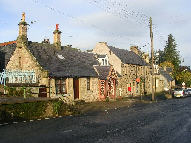
Allanton is a small village located in the historic county of Berwickshire, Scotland. Situated approximately four miles southwest of the town of Duns, it lies close to the border with England. With a population of around 300 residents, the village is known for its picturesque setting, surrounded by rolling hills and farmland.
The origins of Allanton can be traced back to the medieval era, with records suggesting the existence of a church in the area since the 12th century. The village boasts a rich agricultural heritage, with farming being a primary occupation for many of its inhabitants.
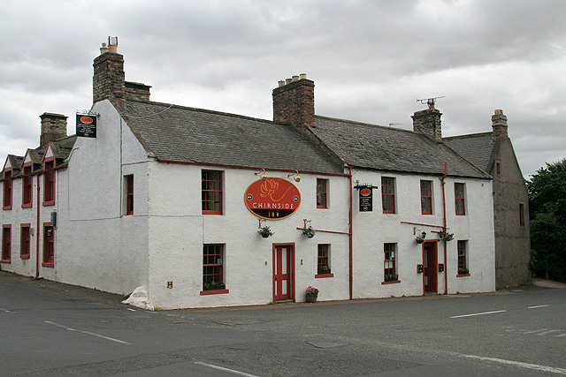
Allanton is home to a few notable landmarks, including the Allanton Inn, a traditional Scottish pub dating back to the 18th century. The Inn offers visitors a taste of local cuisine and a cozy atmosphere to relax in. Additionally, the village is known for its beautiful Allanton House, an impressive Georgian mansion that sits on the outskirts of the village. The house is privately owned and not open to the public, but its elegant architecture can be admired from a distance.
The community in Allanton is tight-knit, with several local organizations and events that bring residents together. The village also benefits from its proximity to the nearby towns of Duns and Coldstream, which offer additional amenities and services.
Overall, Allanton is a charming village in Berwickshire, Scotland, known for its scenic surroundings, historical landmarks, and strong sense of community.
If you have any feedback on the listing, please let us know in the comments section below.
Allanton Images
Images are sourced within 2km of 55.783588/-2.2170263 or Grid Reference NT8654. Thanks to Geograph Open Source API. All images are credited.


Allanton is located at Grid Ref: NT8654 (Lat: 55.783588, Lng: -2.2170263)
Unitary Authority: The Scottish Borders
Police Authority: The Lothians and Scottish Borders
What 3 Words
///tonality.copycat.royally. Near Allanton, Scottish Borders
Nearby Locations
Related Wikis
Allanton, Scottish Borders
Allanton (Scottish Gaelic: Baile Alain) is a small village in the Scottish Borders region of Scotland. Historically part of Berwickshire, for many years...

Blackadder House
Blackadder House was an estate and stately house near the village of Allanton, in Berwickshire, Scotland. It was built on the site of the earlier Blackadder...

Allanbank, Scottish Borders
Allanbank is a village near Allanton, in the Scottish Borders area of Scotland, in the historic county of Berwickshire. Allanbank Chapel was dedicated...
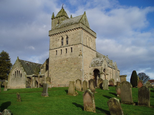
Chirnside Parish Church
Chirnside Parish Church is a kirk of the Church of Scotland. It is situated on the B6355 road between Duns and Eyemouth in the old county of Berwickshire...
Chirnside
Chirnside is a hillside village in Berwickshire, Scotland, 9 miles (14 km) west of Berwick-upon-Tweed and 7 miles (11 km) east of Duns. == Church == The...

Chirnside United F.C.
Chirnside United Football Club, previously known as Chirnside F.C., is a Scottish amateur football club based in the village of Chirnside in the Scottish...
Chirnsidebridge
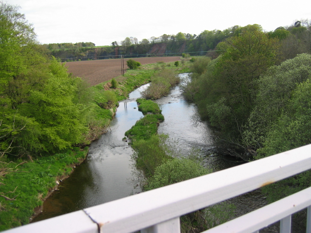
Chirnsidebridge is a village near Chirnside in the Scottish Borders area of Scotland, at a bridge over the Whiteadder Water on its journey towards the...

Hutton Castle
Hutton Castle is located in the Scottish Borders, overlooking the Whiteadder Water. It stands 2.5 kilometres (1.6 mi) southeast of Chirnside and 11 kilometres...
Nearby Amenities
Located within 500m of 55.783588,-2.2170263Have you been to Allanton?
Leave your review of Allanton below (or comments, questions and feedback).