Westwell
Civil Parish in Kent Ashford
England
Westwell
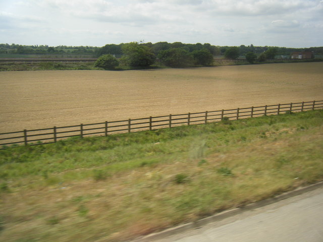
Westwell is a civil parish located in the county of Kent, England. Situated in the Ashford district, it covers an area of approximately 7 square miles. The village of Westwell is the main settlement within the parish and is nestled in the beautiful countryside of the North Downs.
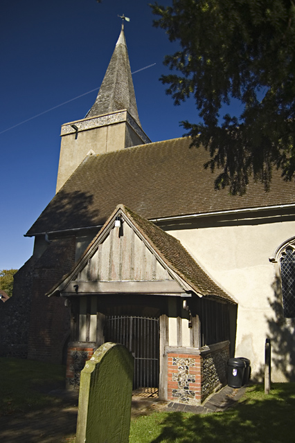
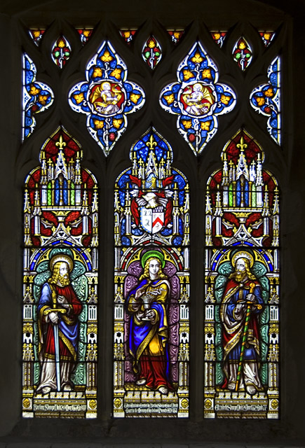
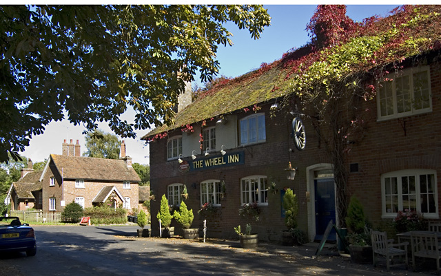
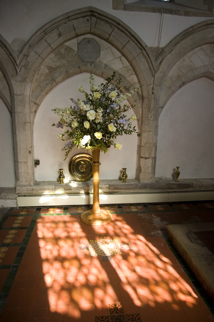
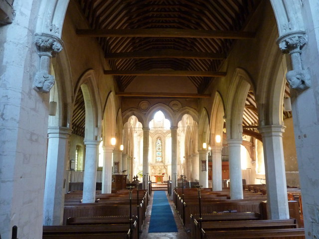
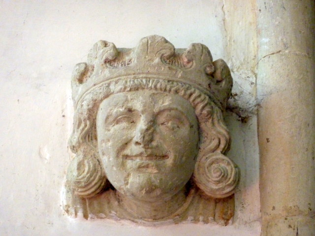
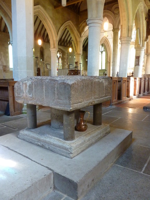
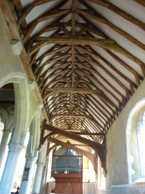
With a population of around 800 residents, Westwell maintains a close-knit community atmosphere. The village is characterized by its charming traditional cottages, many of which date back to the 17th and 18th centuries. The historic St. Mary's Church, dating from the 13th century, is a prominent feature in the village and adds to its picturesque appeal.
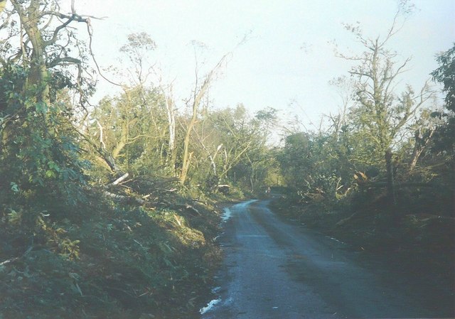
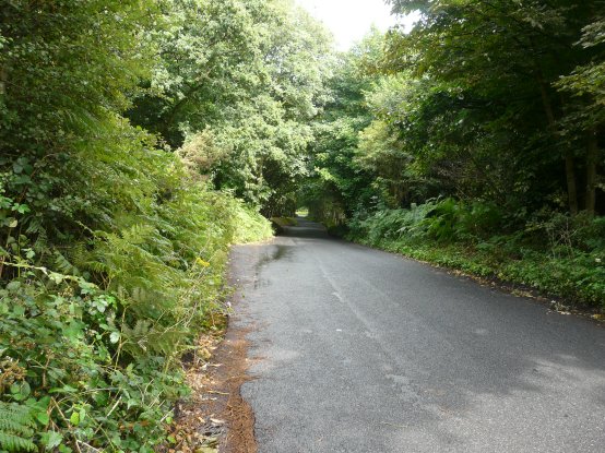
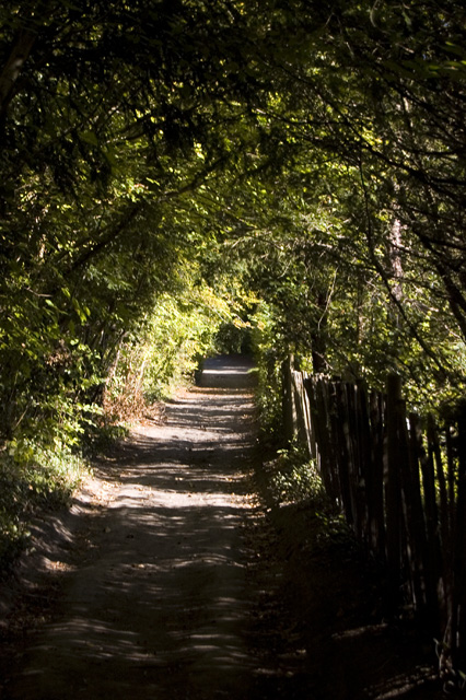
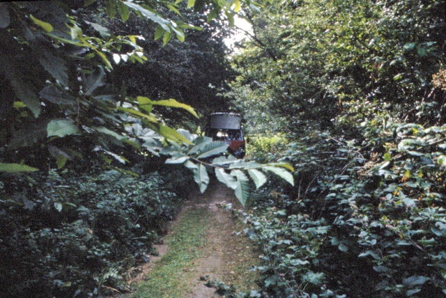
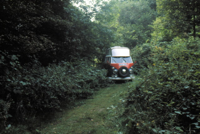
The surrounding countryside offers stunning views and ample opportunities for outdoor activities. The North Downs Way, a popular long-distance footpath, passes through Westwell, attracting walkers and hikers from near and far. The village also boasts a number of well-maintained footpaths and bridleways, making it a haven for nature lovers and those seeking to explore the rural landscape.
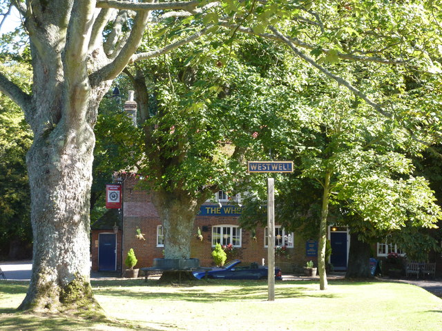
Westwell benefits from a range of local amenities, including a village hall, a primary school, and a pub. The village hall hosts various community events throughout the year, fostering a sense of unity amongst residents. The primary school provides education for local children, while the pub offers a welcoming gathering place for locals and visitors alike.
Overall, Westwell is a tranquil and idyllic rural parish with a strong sense of community. Its natural beauty, charming architecture, and range of amenities make it an attractive place to live or visit for those seeking a peaceful and picturesque setting.
If you have any feedback on the listing, please let us know in the comments section below.
Westwell Images
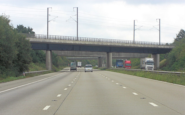
Images are sourced within 2km of 51.189621/0.839793 or Grid Reference TQ9847. Thanks to Geograph Open Source API. All images are credited.
Westwell is located at Grid Ref: TQ9847 (Lat: 51.189621, Lng: 0.839793)
Administrative County: Kent
District: Ashford
Police Authority: Kent
What 3 Words
///solo.lime.financial. Near Charing, Kent
Related Wikis

Westwell, Kent
Westwell is a village and relatively elevated civil parish with a population of 740 (2001), centred 4 miles (6 km) north of Ashford in Kent, England, in...

Hothfield railway station
Hothfield railway station (later Hothfield Halt) was a railway station on the Maidstone Line at Hothfield, Kent. It was situated between Ashford and Charing...

Charing Beech Hangers
Charing Beech Hangers is a 52.6-hectare (130-acre) biological Site of Special Scientific Interest north of Ashford in Kent.This steeply sloping site has...

Hothfield Common
Hothfield Common is a 56.5-hectare (140-acre) biological Site of Special Scientific Interest north-east of Ashford in Kent. It is also a Local Nature...
Eastwell, Kent
Eastwell is a hamlet and civil parish about 3 miles (5 km) north of Ashford, Kent, England. The 2011 Census recorded the parish's population as 103.The...

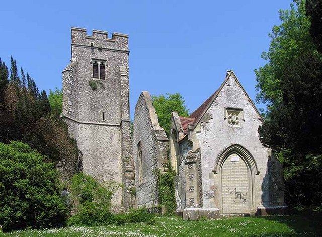
St Mary's Church, Eastwell
St Mary's Church is a ruined former Church of England parish church, in the grounds of Eastwell Park in the hamlet of Eastwell, Kent, England. It is recorded...

Westwell Leacon
Westwell Leacon is a hamlet in the civil parish of Charing near Ashford in Kent, England. Its most famous resident is international Cyclocross star Ian...

Hothfield
Hothfield is a village and civil parish in the Ashford Borough of Kent, England and is 3 miles north-west of Ashford on the A20. It is completely split...
Nearby Amenities
Located within 500m of 51.189621,0.839793Have you been to Westwell?
Leave your review of Westwell below (or comments, questions and feedback).