West Meon

Civil Parish in Hampshire Winchester

England

West Meon

West Meon Trail and Picnic Area The disused railway station platforms are clearly visible. The picnic area and adjacent car park occupy the former goods yards.
West Meon Trail and Picnic Area Credit: Paul Collins

West Meon is a civil parish located in the county of Hampshire, England. Situated in the South Downs National Park, it is nestled in the Meon Valley, approximately 15 miles north of Portsmouth. The parish covers an area of around 14 square miles and is home to a population of about 600 residents.

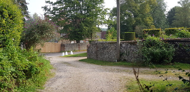
The village of West Meon is the main settlement within the parish and is known for its picturesque charm and rural character. It boasts a unique blend of historic buildings, including thatched cottages, Georgian houses, and a traditional village pub. The village center is dominated by the striking St. John the Evangelist Church, which dates back to the 12th century and is a prominent landmark.

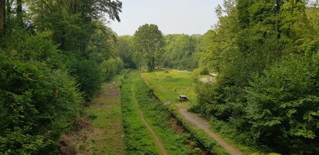
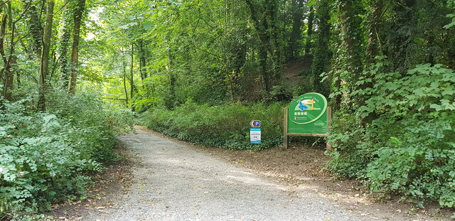
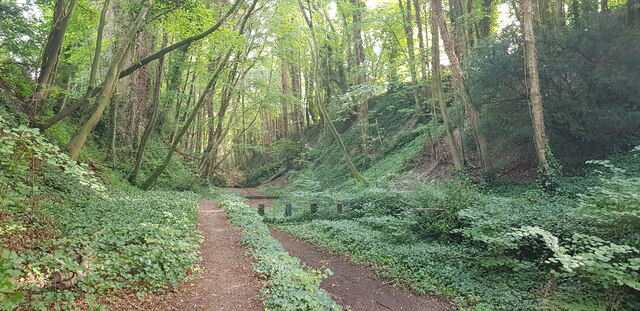
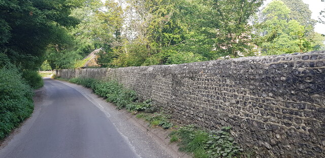
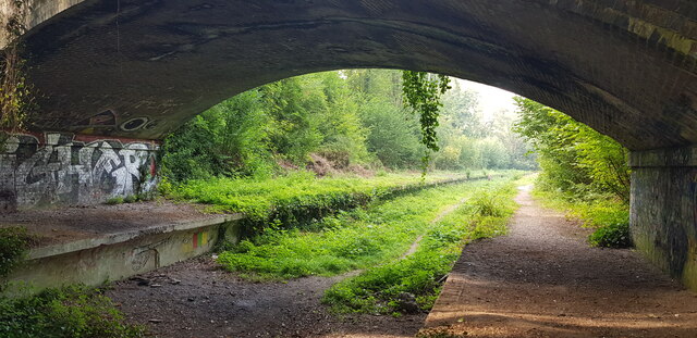
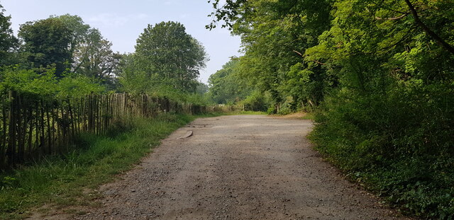
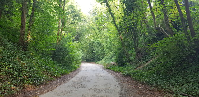
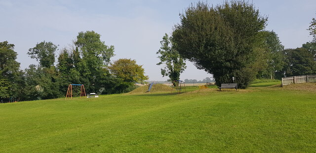
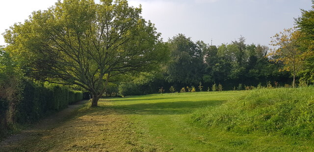
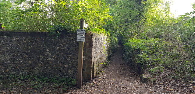
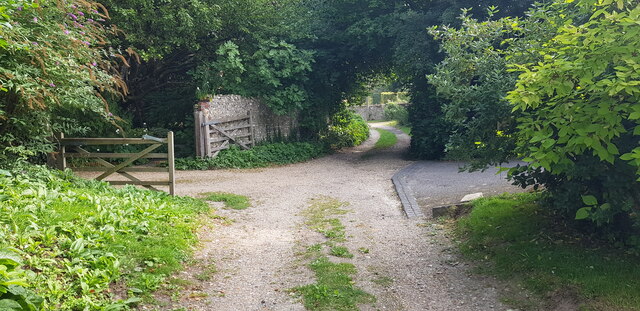
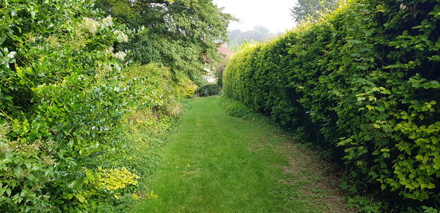
The surrounding countryside offers stunning natural beauty, with rolling hills, meandering rivers, and lush green fields. It provides ample opportunities for outdoor activities such as walking, cycling, and horse riding, attracting both locals and visitors alike. The nearby West Meon Viaduct, a Grade II listed structure, adds to the area's appeal and is a popular spot for sightseeing and photography.

West Meon is well-served by local amenities, including a primary school, a village shop, and a post office, ensuring that residents have access to essential services. The village also has a thriving community spirit, with various social events and activities organized throughout the year.

Overall, West Meon offers a tranquil and idyllic lifestyle, combining natural beauty with a strong sense of community. It is a charming village that provides a peaceful retreat for those seeking to escape the hustle and bustle of city life.

If you have any feedback on the listing, please let us know in the comments section below.
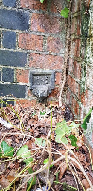
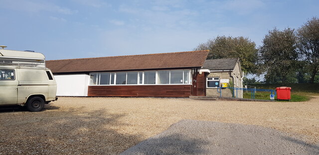
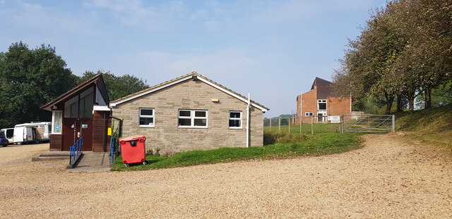
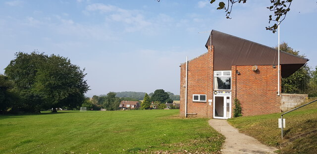
West Meon Images

Images are sourced within 2km of 51.016304/-1.081557 or Grid Reference SU6424. Thanks to Geograph Open Source API. All images are credited.

West Meon Trail and Picnic Area The disused railway station platforms are clearly visible. The picnic area and adjacent car park occupy the former goods yards.
West Meon Trail and Picnic Area
The disused railway station platforms are clearly visible. The picnic area and adjacent car park occupy the former goods yards.
Access to West Meon Trail This entrance leads to a car park and picnic area. It was formerly the access to West Meon Station.
Access to West Meon Trail
This entrance leads to a car park and picnic area. It was formerly the access to West Meon Station.
West Meon Trail This image is captured from the platform of the long-disused West Meon Railway Station.
West Meon Trail
This image is captured from the platform of the long-disused West Meon Railway Station.
Bridge Parapet with Cut Benchmark Here, Station Road crosses the West Meon Trail, formerly a railway.
Bridge Parapet with Cut Benchmark
Here, Station Road crosses the West Meon Trail, formerly a railway.
Flint Wall in Station Road
Underside of Bridge, West Meon Trail Here, Station Road crosses the West Meon Trail, formerly the village railway station.
Underside of Bridge, West Meon Trail
Here, Station Road crosses the West Meon Trail, formerly the village railway station.
Car Park at West Meon Trail The car park is on the site of the former goods yard of West Meon Railway Station. The main station building stood on the left, where the fence is.
Car Park at West Meon Trail
The car park is on the site of the former goods yard of West Meon Railway Station. The main station building stood on the left, where the fence is.
Access Road to West Meon Trail This drive serves the carpark and picnic area of the West Meon Trail. It was built to serve the West Meon railway station and goods yard, now long gone.
Access Road to West Meon Trail
This drive serves the carpark and picnic area of the West Meon Trail. It was built to serve the West Meon railway station and goods yard, now long gone.
Projecting Bracket Bench Mark on Bridge at Former Station A projecting bracket is a rare type of bench mark and a predecessor of the more common 'Flush Bracket'. Bench marks were semi-permanent markers installed by the Ordnance Survey as part of the levelling of Great Britain. This bracket is found on the bridge abutment which carries Station Road over the former West Meon Railway Station platform. This bracket was installed in 1912 and levelled with a height of 321.6620 feet above mean sea level.
Projecting Bracket Bench Mark on Bridge at Former Station
A projecting bracket is a rare type of bench mark and a predecessor of the more common 'Flush Bracket'. Bench marks were semi-permanent markers installed by the Ordnance Survey as part of the levelling of Great Britain. This bracket is found on the bridge abutment which carries Station Road over the former West Meon Railway Station platform. This bracket was installed in 1912 and levelled with a height of 321.6620 feet above mean sea level.
West Meon Village Hall
West Meon Village Hall A sports pavilion can be seen to the right of the hall.
West Meon Village Hall
A sports pavilion can be seen to the right of the hall.
Sports Pavilion at West Meon Recreation Ground
West Meon Recreation Ground
Start of Footpath off Station Road A sign entices us to use the path to visit the pub, café and shops. See also <a href="https://www.geograph.org.uk/photo/620057">SU6423 : Sunken footpath, West Meon</a>.
Start of Footpath off Station Road
A sign entices us to use the path to visit the pub, café and shops. See also SU6423 : Sunken footpath, West Meon.
Love Lane Meets Station Road West Meon House can be glimpsed in the background.
Love Lane Meets Station Road
West Meon House can be glimpsed in the background.
Love Lane, West Meon
Love Lane, West Meon At this point Love Lane makes a zig-zag and has the character of a garden, being neatly mown grass.
Love Lane, West Meon
At this point Love Lane makes a zig-zag and has the character of a garden, being neatly mown grass.
Show me another place!

West Meon is located at Grid Ref: SU6424 (Lat: 51.016304, Lng: -1.081557)

Administrative County: Hampshire

District: Winchester

Police Authority: Hampshire

What 3 Words

///playfully.blur.encoded. Near New Alresford, Hampshire

Related Wikis

West Meon

West Meon is a village and civil parish in Hampshire, England, with a population of 749 people at the 2011 census. == Geography == It is 2+3⁄4 miles (4...

West Meon railway station

West Meon railway station was an intermediate station on the Meon Valley line which ran from Alton to Fareham during the first half of the 20th century...

Westbury House

Westbury House is a country house south of West Meon Road between East Meon and West Meon in Hampshire, England. The house was built in the Palladian style...

Chappetts Copse

Chappetts Copse is a 12-hectare (30-acre) nature reserve east of West Meon in Hampshire. It is owned and managed by the Hampshire and Isle of Wight Wildlife...
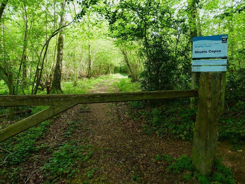
Shutts Copse

Shutts Copse is a 5-hectare (12-acre) nature reserve north of West Meon in Hampshire. It is managed by the Hampshire and Isle of Wight Wildlife Trust...

Warnford

Warnford is a village and civil parish in the City of Winchester district of Hampshire, England. The parish covers 1283 hectares (3170 acres). The village...

Bailey Green

Bailey Green is a village in Hampshire, England.

East Hampshire AONB

East Hampshire Area of Outstanding Natural Beauty (AONB) in England was designated in 1962. The designation was revoked in March 2010, together with the...

Nearby Amenities

Located within 500m of 51.016304,-1.081557
Created By: osmeditor2
Lat/Long: 51.0119417/-1.0821278
The data included in this document is from www.openstreetmap.org. The data is made available under ODbL.

Have you been to West Meon?

Leave your review of West Meon below (or comments, questions and feedback).