End, East
Settlement in Hampshire Winchester
England
End, East
End East is a small village located in the county of Hampshire, England. Situated in the South East region of the country, End East falls within the civil parish of East Hampshire District. The village is nestled in a rural setting, surrounded by picturesque countryside and rolling hills.
With a population of approximately 500 residents, End East maintains a close-knit community atmosphere. The village consists mainly of traditional English cottages and houses, giving it a charming and idyllic aesthetic. The architecture reflects the village's rich history, as it has been settled since medieval times.
End East is well-connected to nearby towns and cities, with good transportation links. The A3 road and the nearby A272 provide easy access to larger towns such as Petersfield and Winchester. The village is also served by a local bus service, connecting residents to surrounding areas.
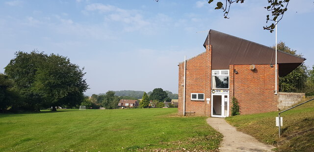
Despite its small size, End East offers several amenities to its residents. These include a village hall, a primary school, a church, and a local pub. The village hall hosts various community events and activities throughout the year, fostering a sense of togetherness among the residents.
The surrounding countryside provides ample opportunities for outdoor activities such as hiking, cycling, and horseback riding. The village is also within close proximity to the South Downs National Park, offering stunning landscapes and ample walking trails.
Overall, End East offers a peaceful and picturesque living environment, with a strong sense of community and easy access to the beauty of the Hampshire countryside.
If you have any feedback on the listing, please let us know in the comments section below.
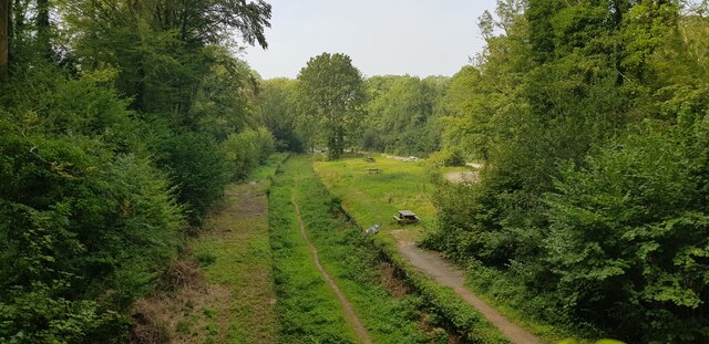
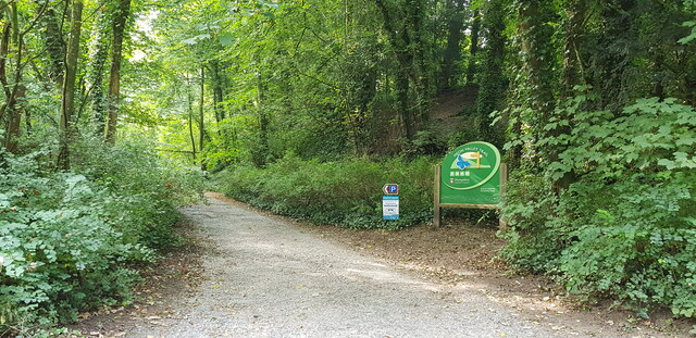
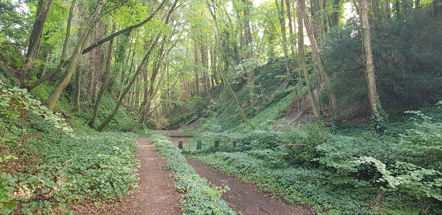
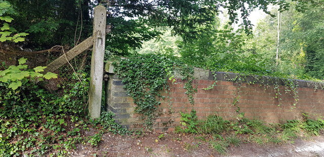
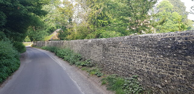
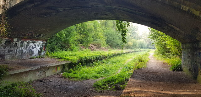
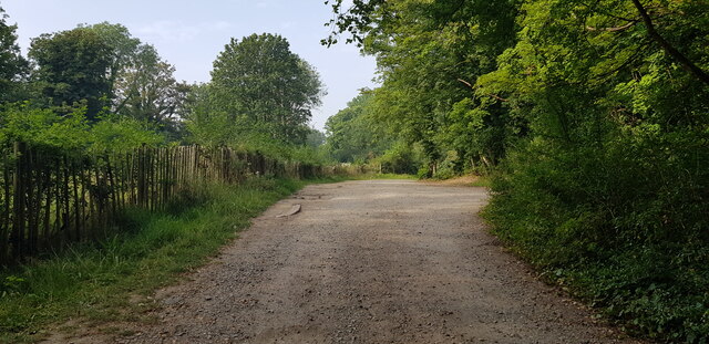
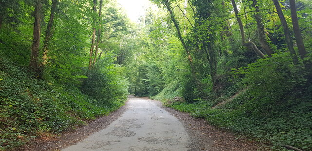
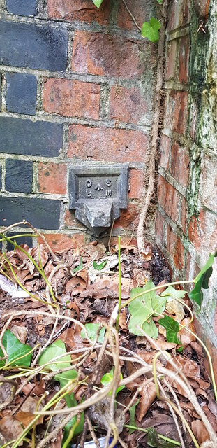
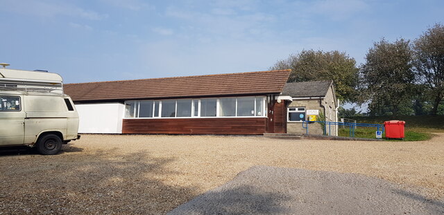
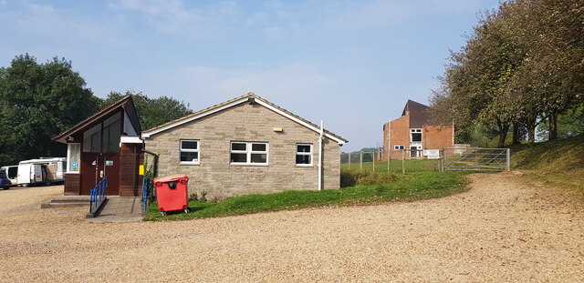
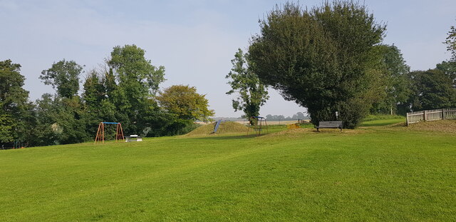
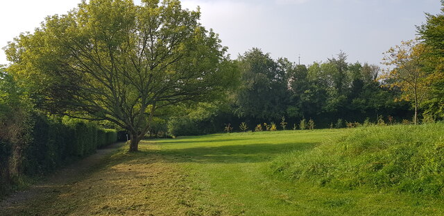
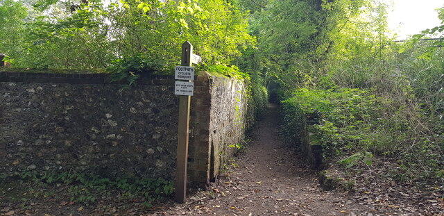
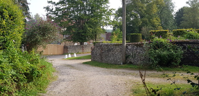
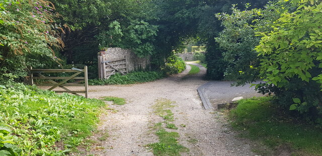
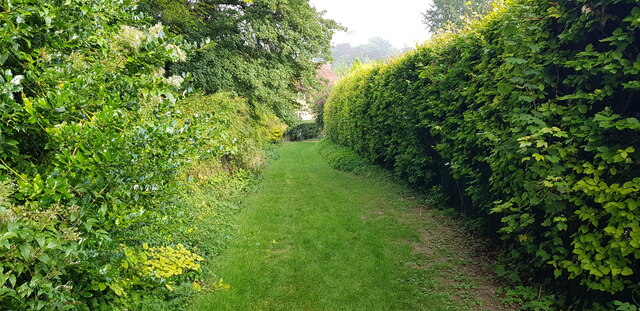
End, East Images
Images are sourced within 2km of 51.012128/-1.077676 or Grid Reference SU6424. Thanks to Geograph Open Source API. All images are credited.
End, East is located at Grid Ref: SU6424 (Lat: 51.012128, Lng: -1.077676)
Administrative County: Hampshire
District: Winchester
Police Authority: Hampshire
What 3 Words
///rings.roughness.trustees. Near Swanmore, Hampshire
Nearby Locations
Related Wikis

West Meon
West Meon is a village and civil parish in Hampshire, England, with a population of 749 people at the 2011 census. == Geography == It is 2+3⁄4 miles (4...

West Meon railway station
West Meon railway station was an intermediate station on the Meon Valley line which ran from Alton to Fareham during the first half of the 20th century...

Chappetts Copse
Chappetts Copse is a 12-hectare (30-acre) nature reserve east of West Meon in Hampshire. It is owned and managed by the Hampshire and Isle of Wight Wildlife...

Westbury House
Westbury House is a country house south of West Meon Road between East Meon and West Meon in Hampshire, England. The house was built in the Palladian style...
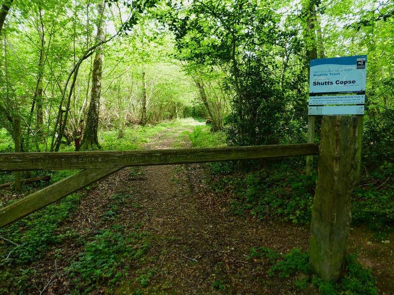
Shutts Copse
Shutts Copse is a 5-hectare (12-acre) nature reserve north of West Meon in Hampshire. It is managed by the Hampshire and Isle of Wight Wildlife Trust...

East Hampshire AONB
East Hampshire Area of Outstanding Natural Beauty (AONB) in England was designated in 1962. The designation was revoked in March 2010, together with the...

Warnford
Warnford is a village and civil parish in the City of Winchester district of Hampshire, England. The parish covers 1283 hectares (3170 acres). The village...

Henwood Down
Henwood Down is one of the highest points in the county of Hampshire, England, and in the South Downs, reaching a height of 201 metres (659 ft) above sea...
Nearby Amenities
Located within 500m of 51.012128,-1.077676Have you been to End, East?
Leave your review of End, East below (or comments, questions and feedback).