Buckland Newton

Settlement in Dorset

England

Buckland Newton

Direction Sign - Signpost in Sharnhill Green, Buckland Newton Annulus finial - 2 arms; Dorset halo with NGR by the UC road, in parish of Buckland Newton (West Dorset District), Sharnhill Green, junction with UC road to Duntish, on verge, East side of road.

Surveyed

Milestone Society National ID: DO_ST7005
Direction Sign - Signpost in Sharnhill Green, Buckland Newton Credit: Milestone Society

Buckland Newton is a small village nestled in the picturesque countryside of Dorset, England. Located approximately 12 miles north of Dorchester, the village is surrounded by rolling hills, lush green fields, and charming rural landscapes. With a population of around 500 inhabitants, Buckland Newton exudes a tranquil and close-knit community atmosphere.

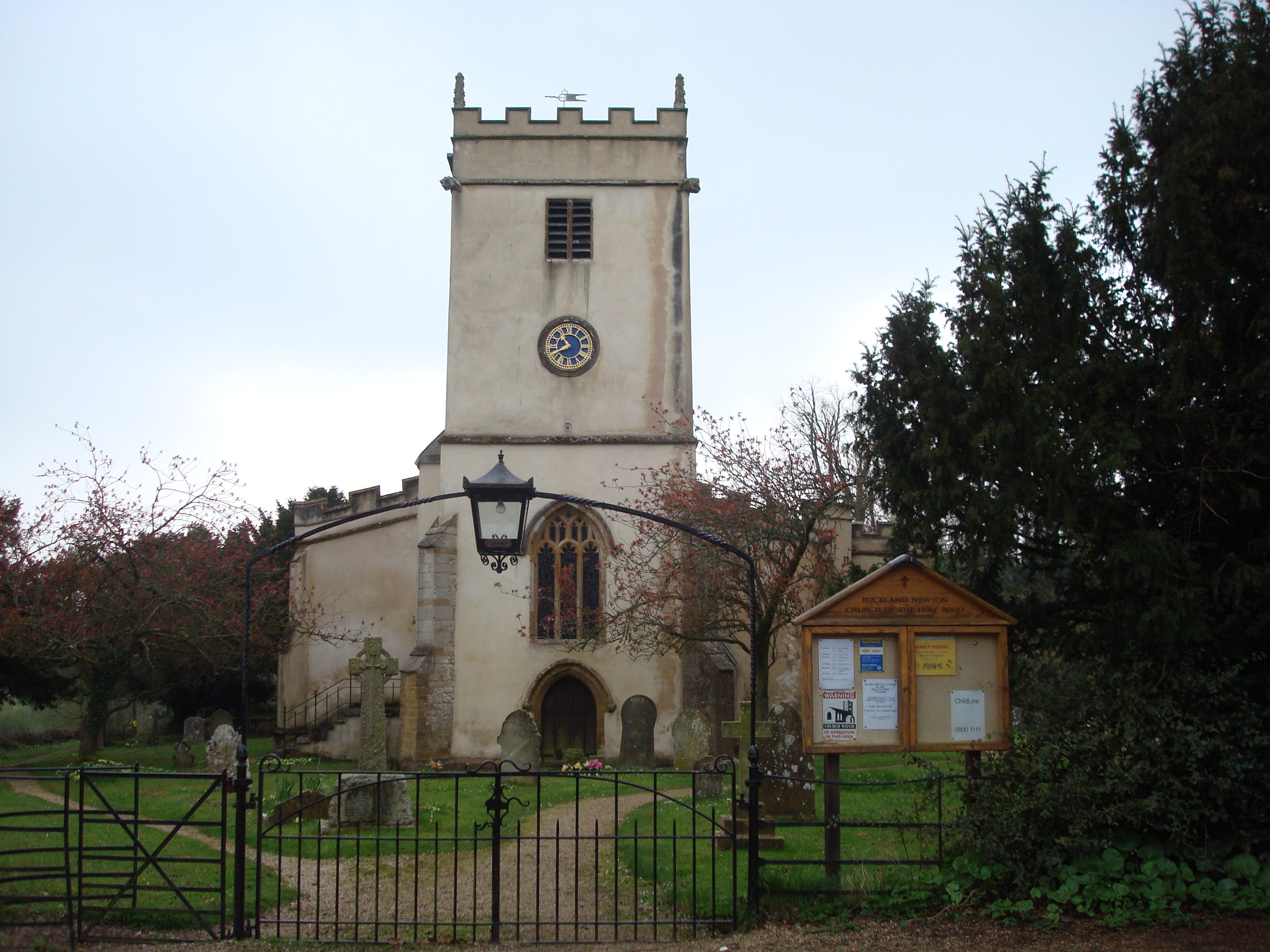
The village is steeped in history, with evidence of settlement dating back to Roman times. Its name is derived from the Old English words "boc" and "land," meaning "bookland" or land held by charter. This historical significance is reflected in the village's architecture, with several beautiful old buildings and thatched cottages lining its streets.

Despite its small size, Buckland Newton offers a range of amenities for its residents and visitors. The village boasts a primary school, a village hall, and a community-run shop, which serves as a hub for locals to gather and socialize. The nearby Buckland Newton Mill is a popular attraction, offering visitors an insight into the area's agricultural heritage.

The village also hosts various annual events and activities, including a summer fete, open gardens, and a scarecrow competition, which brings the community together and attracts visitors from neighboring towns and villages. The surrounding countryside provides ample opportunities for outdoor pursuits, such as hiking, cycling, and horse riding, with numerous footpaths and bridleways crisscrossing the area.

Overall, Buckland Newton offers a peaceful and idyllic setting for those seeking a taste of rural life in the heart of Dorset's stunning countryside.

If you have any feedback on the listing, please let us know in the comments section below.

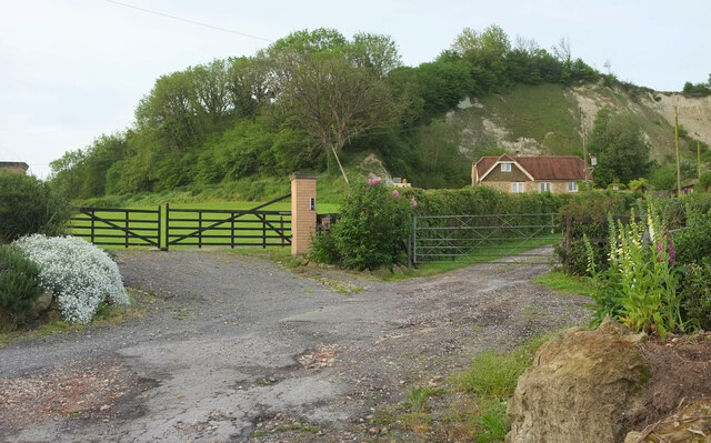
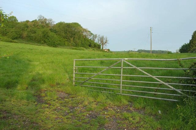
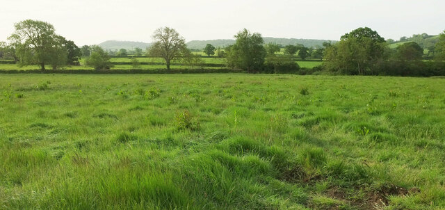
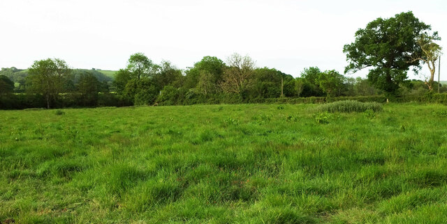
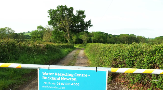
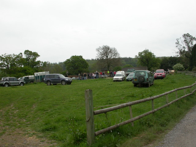
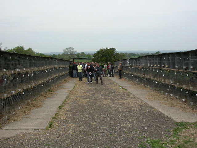
Buckland Newton Images

Images are sourced within 2km of 50.845144/-2.4461536 or Grid Reference ST6805. Thanks to Geograph Open Source API. All images are credited.

Direction Sign - Signpost in Sharnhill Green, Buckland Newton Annulus finial - 2 arms; Dorset halo with NGR by the UC road, in parish of Buckland Newton (West Dorset District), Sharnhill Green, junction with UC road to Duntish, on verge, East side of road.

Surveyed

Milestone Society National ID: DO_ST7005
Direction Sign - Signpost in Sharnhill Green, Buckland Newton
Annulus finial - 2 arms; Dorset halo with NGR by the UC road, in parish of Buckland Newton (West Dorset District), Sharnhill Green, junction with UC road to Duntish, on verge, East side of road. Surveyed Milestone Society National ID: DO_ST7005
Split Ash tree Half the tree remains
Split Ash tree
Half the tree remains
Junction, Sharnhill Green Early morning, with the signpost shown in <a href="https://www.geograph.org.uk/photo/6098027">ST7005 : Direction Sign - Signpost in Sharnhill Green, Buckland Newton</a>.
Junction, Sharnhill Green
Knoll End From Castle Lane.
Knoll End
From Castle Lane.
Field, Sharnhill Green Looking right from the junction shown in <a href="https://www.geograph.org.uk/photo/7517849">ST7005 : Signpost, Sharnhill Green</a> up the northern slopes of Knoll.
Field, Sharnhill Green
Looking right from the junction shown in ST7005 : Signpost, Sharnhill Green up the northern slopes of Knoll.
Field, Sharnhill Green Looking right from <a href="https://www.geograph.org.uk/photo/7518169">ST7005 : Field, Sharnhill Green</a>. Footpath S10 27 climbs up the hill from Castle Lane, and then up alongside the trees on the field boundary.
Field, Sharnhill Green
Looking right from ST7005 : Field, Sharnhill Green. Footpath S10 27 climbs up the hill from Castle Lane, and then up alongside the trees on the field boundary.
Field by Bookham Lane The scene on the other side of the lane from <a href="https://www.geograph.org.uk/photo/7519027">ST7004 : Countryside east of Bookham Lane</a>, with the land rising towards the hill simply mapped as "Knoll".
Field by Bookham Lane
The scene on the other side of the lane from ST7004 : Countryside east of Bookham Lane, with the land rising towards the hill simply mapped as "Knoll".
Sharnhill Green A view from Castle Lane. On the left is Sharnhill Green Business Park. To the right is  Miller's Farm. There are tell-tale signs of an emergent stream in the field; it flows towards the River Lydden.
Sharnhill Green
A view from Castle Lane. On the left is Sharnhill Green Business Park. To the right is Miller's Farm. There are tell-tale signs of an emergent stream in the field; it flows towards the River Lydden.
Lane past Sharnhill Green The lane from Brockhampton passes Sharnhill Green Business Park on the right. Left of centre is the junction and signpost shown in <a href="https://www.geograph.org.uk/photo/7180344">ST7005 : Junction, Sharnhill Green</a>.
Lane past Sharnhill Green
The lane from Brockhampton passes Sharnhill Green Business Park on the right. Left of centre is the junction and signpost shown in ST7005 : Junction, Sharnhill Green.
Farmland by Beaulieu Wood sewage works A view from the road east of Duntish.
Farmland by Beaulieu Wood sewage works
A view from the road east of Duntish.
Field by Beaulieu Wood sewage works Looking right from <a href="https://www.geograph.org.uk/photo/7522241">ST7006 : Farmland by Beaulieu Wood sewage works</a>; the sewage works is hidden by the trees.
Field by Beaulieu Wood sewage works
Looking right from ST7006 : Farmland by Beaulieu Wood sewage works; the sewage works is hidden by the trees.
Entrance to sewage works near Beaulieu Wood The sign on the gate says "Water Recycling Centre"; the 1:25000 map say "Sewage Works". Both are true.
Entrance to sewage works near Beaulieu Wood
The sign on the gate says "Water Recycling Centre"; the 1:25000 map say "Sewage Works". Both are true.
Crowthorne Lane Note how much more overgrown the green lane has become uphill of the gateway from where <a href="https://www.geograph.org.uk/photo/7584621">ST6903 : Field by Hardy Way</a> was taken. The Hardy Way continues to follow footpath S10 31.
Crowthorne Lane
Note how much more overgrown the green lane has become uphill of the gateway from where ST6903 : Field by Hardy Way was taken. The Hardy Way continues to follow footpath S10 31.
Crowthorne Lane The Hardy Way and footpath S10 31 follow the green lane around a couple of bends down towards Henley, some of which can be seen in the distance.
Crowthorne Lane
The Hardy Way and footpath S10 31 follow the green lane around a couple of bends down towards Henley, some of which can be seen in the distance.
Sharnhill Green
Sharnhill Green
Cosmore, Revels Farm Revels Horse Tack & Poultry Centre, busy today with a poultry auction. <span class="nowrap"><a title="http://www.clarkesauctions.co.uk/" rel="nofollow ugc noopener" href="http://www.clarkesauctions.co.uk/">Link</a><img style="margin-left:2px;" alt="External link" title="External link - shift click to open in new window" src="https://s1.geograph.org.uk/img/external.png" width="10" height="10"/></span>
Cosmore, Revels Farm
Revels Horse Tack & Poultry Centre, busy today with a poultry auction. LinkExternal link
Cosmore, poultry auction Hens, turkeys, geese, ducks, pheasants and guinea fowl for auction at Revels Farm. <span class="nowrap"><a title="http://www.clarkesauctions.co.uk/" rel="nofollow ugc noopener" href="http://www.clarkesauctions.co.uk/">Link</a><img style="margin-left:2px;" alt="External link" title="External link - shift click to open in new window" src="https://s1.geograph.org.uk/img/external.png" width="10" height="10"/></span>
Cosmore, poultry auction
Hens, turkeys, geese, ducks, pheasants and guinea fowl for auction at Revels Farm. LinkExternal link
Show me another place!

Buckland Newton is located at Grid Ref: ST6805 (Lat: 50.845144, Lng: -2.4461536)

Unitary Authority: Dorset

Police Authority: Dorset

What 3 Words

///perfectly.reversed.scarf. Near Yetminster, Dorset

Related Wikis

Buckland Newton

Buckland Newton is a village and civil parish in Dorset, England. It is situated beneath the scarp slope of the Dorset Downs, 7+1⁄2 miles (12.1 km) south...

Buckland Newton Hundred

Buckland Newton Hundred was a hundred in the county of Dorset, England, containing the following parishes: Buckland Newton Glanvilles Wootton Mappowder...

Woolford's Water

Woolford's Water is a village in Dorset, England.

Cosmore

Cosmore is a small village in Dorset, situated just off the main A352 Sherborne-Dorchester road. It sits at the foot of Dogbury Hill, one of Dorset's...

Nearby Amenities

Located within 500m of 50.845144,-2.4461536
Material: wood
Power: pole
Source: bing
Lat/Long: 50.8421063/-2.4411125
Direction: 255
Generator Method: photovoltaic
Generator Output Electricity: yes
Generator Solar Modules: 4
Generator Source: solar
Generator Type: solar_photovoltaic_panel
Location: roof
Power: generator
Lat/Long: 50.8456766/-2.4416353
Direction: 255
Generator Method: photovoltaic
Generator Output Electricity: yes
Generator Solar Modules: 2
Generator Source: solar
Generator Type: solar_photovoltaic_panel
Location: roof
Power: generator
Lat/Long: 50.8456459/-2.4417168
Direction: S
Generator Method: photovoltaic
Generator Output Electricity: yes
Generator Solar Modules: 8
Generator Source: solar
Generator Type: solar_photovoltaic_panel
Location: roof
Power: generator
Lat/Long: 50.8461358/-2.4444376
Post Office
Buckland Newton Post Office
Addr City: Dorchester
Addr Housename: Buckland Newton Village Hall
Addr Postcode: DT2 7BZ
Addr Street: Locketts Lane
Addr Village: Buckland Newton
Brand: Post Office
Brand Wikidata: Q1783168
Check Date: 2022‑05‑27
Check Date Opening Hours: 2022‑05‑27
Opening Hours: Mo,Tu,Fr 09:00-12:00
Ref Pol Id: 97683
Website: https://www.postoffice.co.uk/branch-finder/4044703/buckland-newton
Lat/Long: 50.84314/-2.44526
Power: pole
Source: bing
Transformer: distribution
Lat/Long: 50.8465289/-2.4453123
Power: pole
Source: bing
Lat/Long: 50.8473579/-2.4447557
Power: pole
Source: bing
Lat/Long: 50.8481784/-2.4442045
Power: pole
Source: bing
Lat/Long: 50.8489167/-2.443711
Entrance: main
Lat/Long: 50.8459786/-2.445035
The data included in this document is from www.openstreetmap.org. The data is made available under ODbL.

Have you been to Buckland Newton?

Leave your review of Buckland Newton below (or comments, questions and feedback).