Pop Mallers Coppice
Wood, Forest in Dorset
England
Pop Mallers Coppice

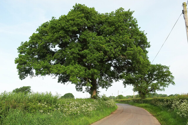
Pop Mallers Coppice is a dense woodland located in the county of Dorset, England. Spanning over a vast area, this forest holds great significance due to its rich biodiversity and historical value. The coppice is situated on the outskirts of a small village, surrounded by picturesque landscapes and rolling hills.
This woodland is predominantly composed of deciduous trees, such as oak, ash, and beech. The dense canopy formed by these towering trees provides a cool and shaded environment, making it an ideal habitat for a variety of flora and fauna. The forest floor is covered with a thick layer of leaf litter, creating a natural carpet that supports a diverse range of plants and fungi.
Pop Mallers Coppice has been managed as a coppice woodland for centuries, characterized by the traditional practice of periodically cutting down trees to stimulate new growth. This sustainable approach has not only contributed to the woodland's unique structure but has also provided a valuable source of timber and firewood for the local community.
The forest is home to a myriad of wildlife, including several species of birds, such as woodpeckers, owls, and various songbirds. Small mammals, such as foxes, rabbits, and squirrels, can also be spotted within the woodland. Additionally, the coppice supports a wide array of insects, invertebrates, and amphibians, making it an ecologically important habitat.
Pop Mallers Coppice is a popular destination for nature enthusiasts, offering numerous walking trails and picnic areas. The tranquil atmosphere and stunning scenery make it an ideal place for people to connect with nature and enjoy the beauty of the British countryside.
If you have any feedback on the listing, please let us know in the comments section below.
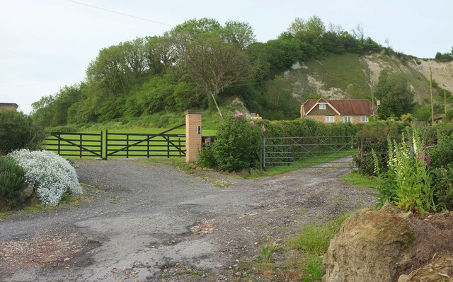
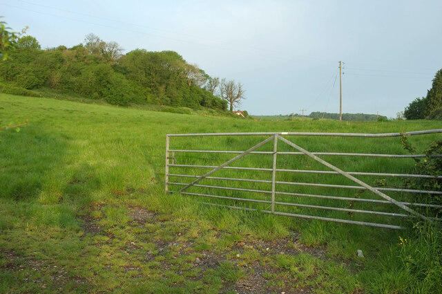
Pop Mallers Coppice Images
Images are sourced within 2km of 50.851729/-2.4431906 or Grid Reference ST6805. Thanks to Geograph Open Source API. All images are credited.


Pop Mallers Coppice is located at Grid Ref: ST6805 (Lat: 50.851729, Lng: -2.4431906)
Unitary Authority: Dorset
Police Authority: Dorset
What 3 Words
///torso.chilling.blossom. Near Yetminster, Dorset
Nearby Locations
Related Wikis
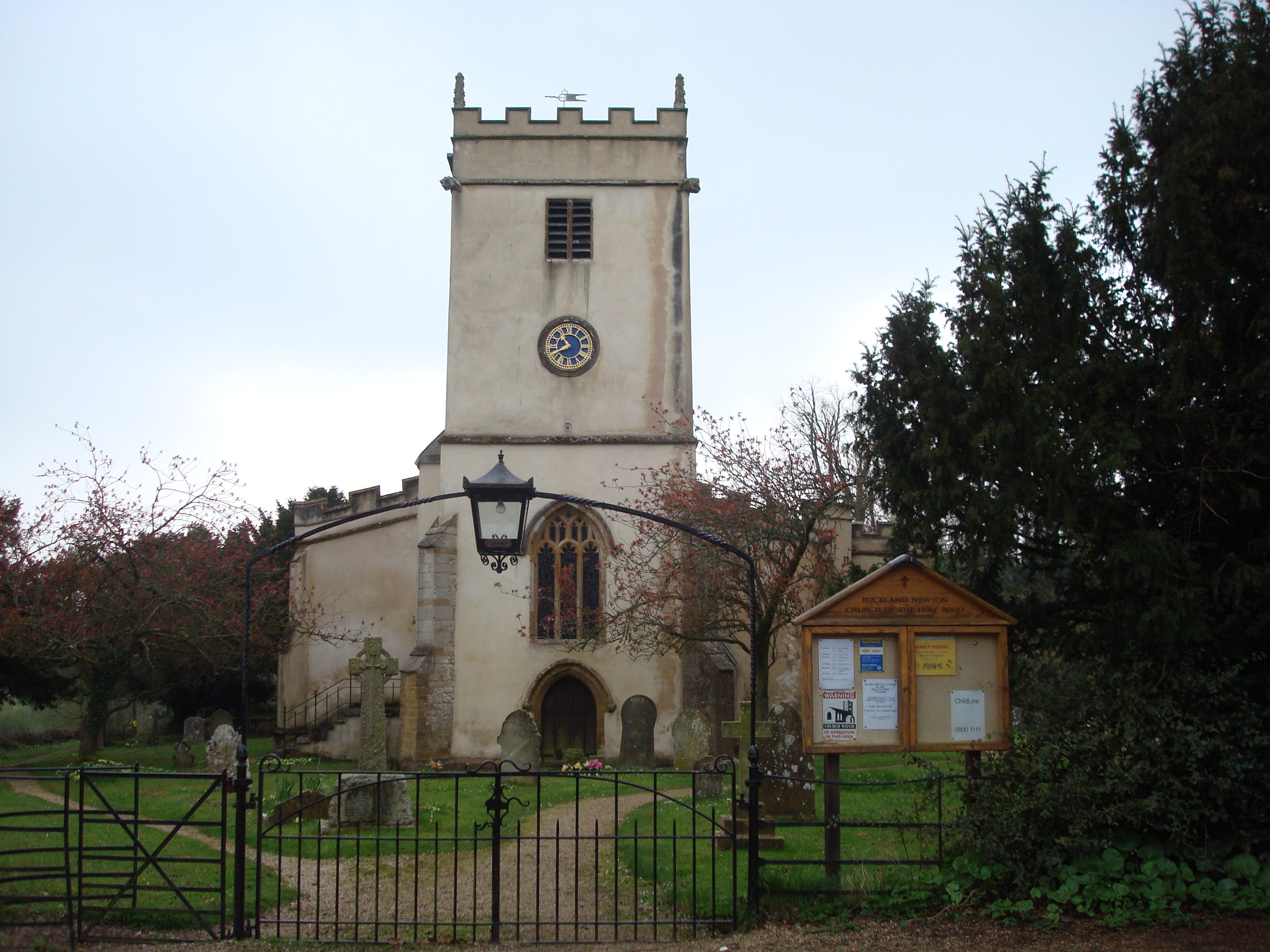
Buckland Newton
Buckland Newton is a village and civil parish in Dorset, England. It is situated beneath the scarp slope of the Dorset Downs, 7+1⁄2 miles (12.1 km) south...

Buckland Newton Hundred
Buckland Newton Hundred was a hundred in the county of Dorset, England, containing the following parishes: Buckland Newton Glanvilles Wootton Mappowder...
Woolford's Water
Woolford's Water is a village in Dorset, England.

Cosmore
Cosmore is a small village in Dorset, situated just off the main A352 Sherborne-Dorchester road. It sits at the foot of Dogbury Hill, one of Dorset's...
Dungeon Hill
Dungeon Hill is an Iron Age hillfort, about 1+1⁄4 miles (2 kilometres) north of the village of Buckland Newton in Dorset, England. It is a scheduled monument...

Bookham Knoll
Bookham Knoll is a rounded hill, 211 metres (692 ft) high, about 1 kilometre southeast of the village of Buckland Newton in the county of Dorset in southern...

Glanvilles Wootton
Glanvilles Wootton, or Wootton Glanville, is a village and civil parish in the county of Dorset in southern England. It is situated in the Blackmore Vale...

Watts Hill
Watts Hill is a hill in the Dorset Downs and one of the highest in the county of Dorset, England. The height of the summit is variously recorded as 261...
Nearby Amenities
Located within 500m of 50.851729,-2.4431906Have you been to Pop Mallers Coppice?
Leave your review of Pop Mallers Coppice below (or comments, questions and feedback).