Ridge Wood
Wood, Forest in Dorset
England
Ridge Wood
Ridge Wood is a picturesque forest located in the county of Dorset, England. Situated in the heart of the county, it covers an area of approximately 500 acres and is renowned for its natural beauty and diverse wildlife.
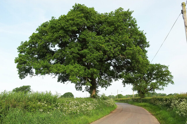
The wood is predominantly made up of oak and beech trees, which tower above the forest floor, creating a dense canopy of foliage. This gives Ridge Wood a unique and enchanting atmosphere, especially during the autumn months when the leaves change color, painting the landscape with vibrant hues of red, orange, and yellow.
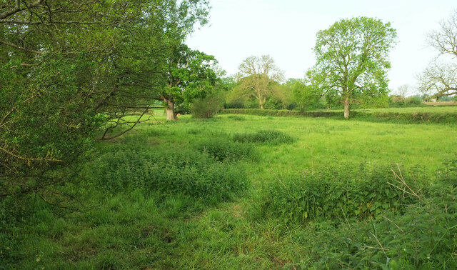
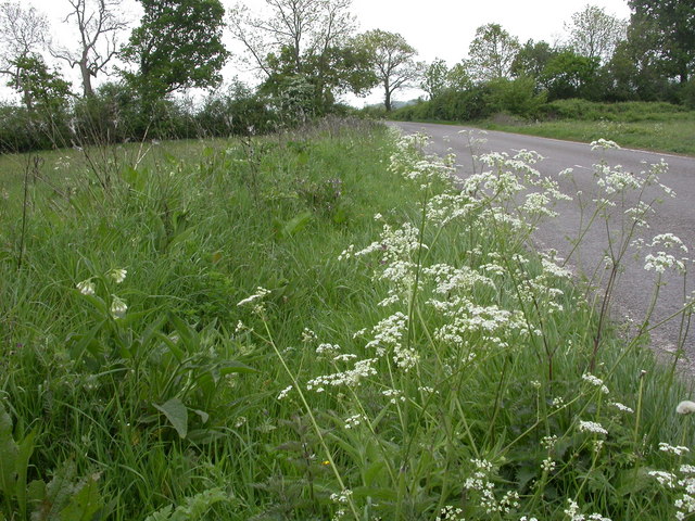
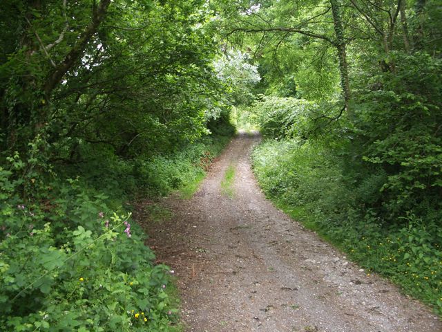
Several walking trails crisscross the wood, allowing visitors to explore its hidden treasures. The paths wind through the forest, leading to tranquil ponds, babbling brooks, and open clearings, providing plenty of opportunities for nature enthusiasts to observe the local flora and fauna. The wood is home to a variety of wildlife, including deer, foxes, rabbits, and numerous species of birds, making it a haven for wildlife photographers and birdwatchers alike.
Ridge Wood has a rich history dating back centuries. It was once part of a much larger ancient woodland that covered the area, and remnants of its past can still be seen today. There are several archaeological sites within the wood, including ancient burial mounds and remains of Iron Age settlements, offering a glimpse into the area's past.
Overall, Ridge Wood is a hidden gem in the heart of Dorset, offering visitors a peaceful retreat in nature. With its stunning scenery, diverse wildlife, and rich history, it is a must-visit destination for both locals and tourists looking to immerse themselves in the beauty of the English countryside.
If you have any feedback on the listing, please let us know in the comments section below.
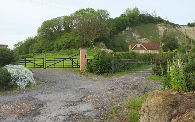
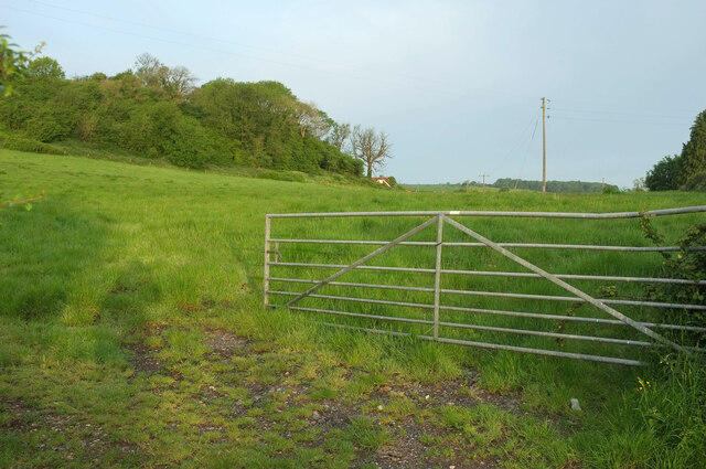
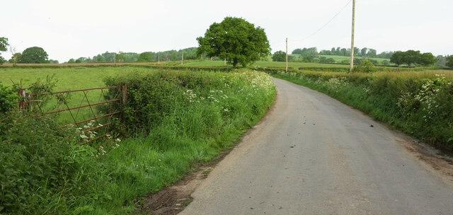
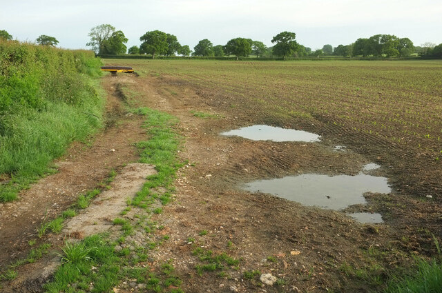
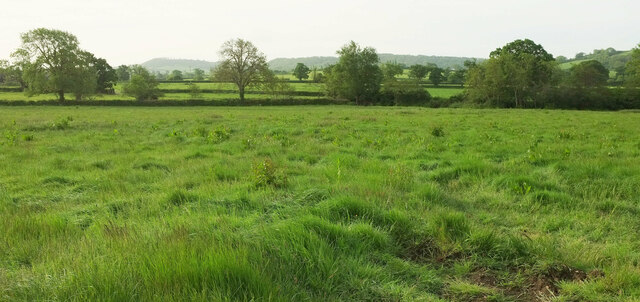
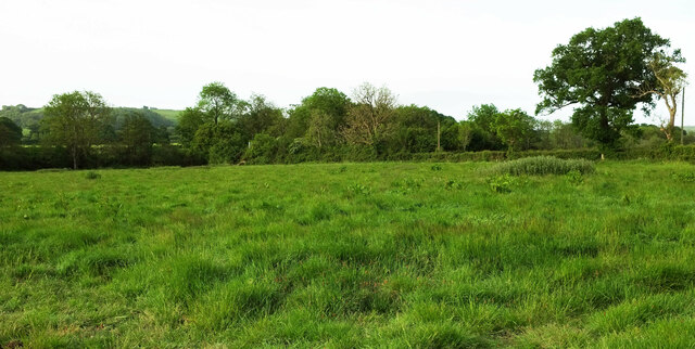
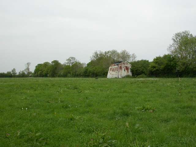
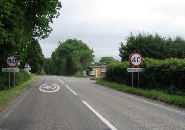
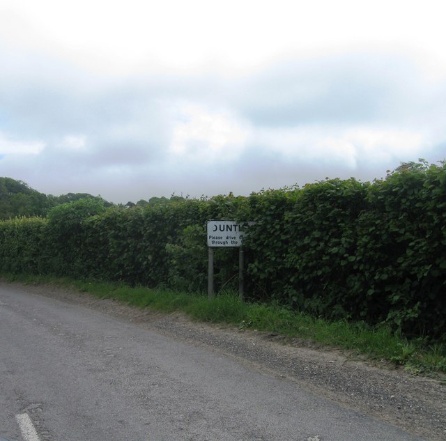
Ridge Wood Images
Images are sourced within 2km of 50.848651/-2.4485734 or Grid Reference ST6805. Thanks to Geograph Open Source API. All images are credited.


Ridge Wood is located at Grid Ref: ST6805 (Lat: 50.848651, Lng: -2.4485734)
Unitary Authority: Dorset
Police Authority: Dorset
What 3 Words
///topmost.assorted.emotional. Near Yetminster, Dorset
Nearby Locations
Related Wikis
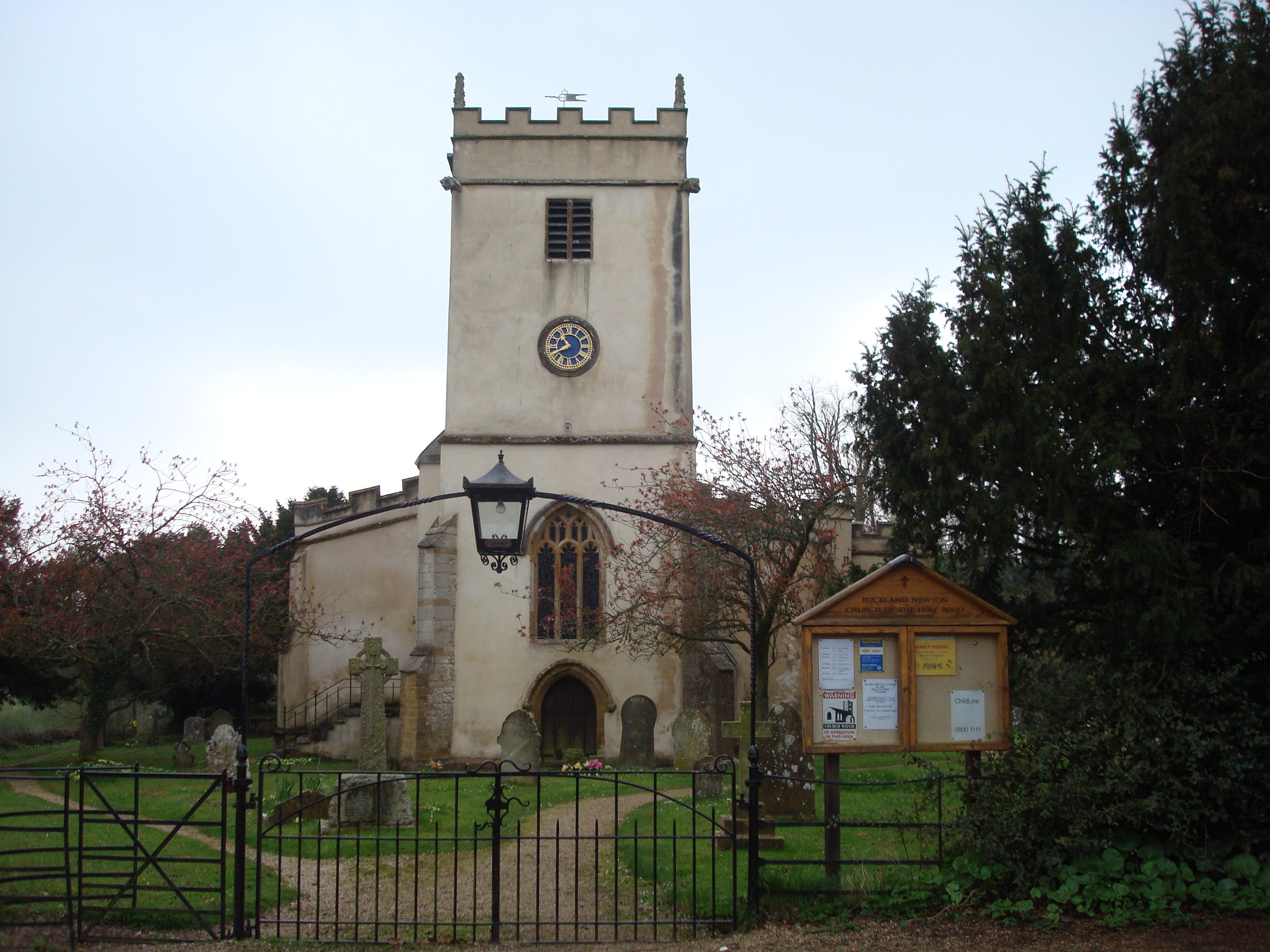
Buckland Newton
Buckland Newton is a village and civil parish in Dorset, England. It is situated beneath the scarp slope of the Dorset Downs, 7+1⁄2 miles (12.1 km) south...

Buckland Newton Hundred
Buckland Newton Hundred was a hundred in the county of Dorset, England, containing the following parishes: Buckland Newton Glanvilles Wootton Mappowder...

Cosmore
Cosmore is a small village in Dorset, situated just off the main A352 Sherborne-Dorchester road. It sits at the foot of Dogbury Hill, one of Dorset's...
Woolford's Water
Woolford's Water is a village in Dorset, England.
Nearby Amenities
Located within 500m of 50.848651,-2.4485734Have you been to Ridge Wood?
Leave your review of Ridge Wood below (or comments, questions and feedback).