Waterstock

Civil Parish in Oxfordshire South Oxfordshire

England

Waterstock

Road from Albury The sole access road for Albury, heading towards Tiddington.
Road from Albury Credit: Bill Boaden

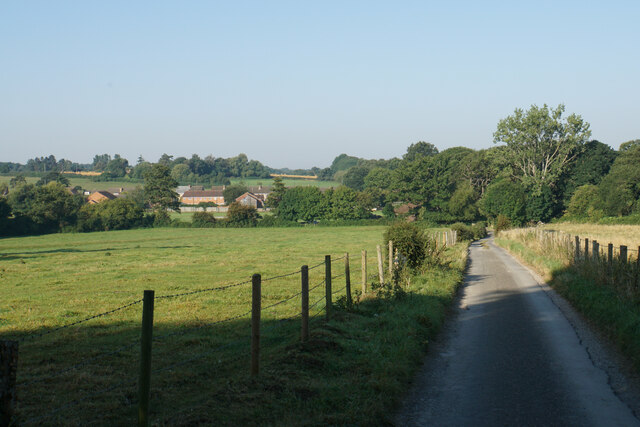
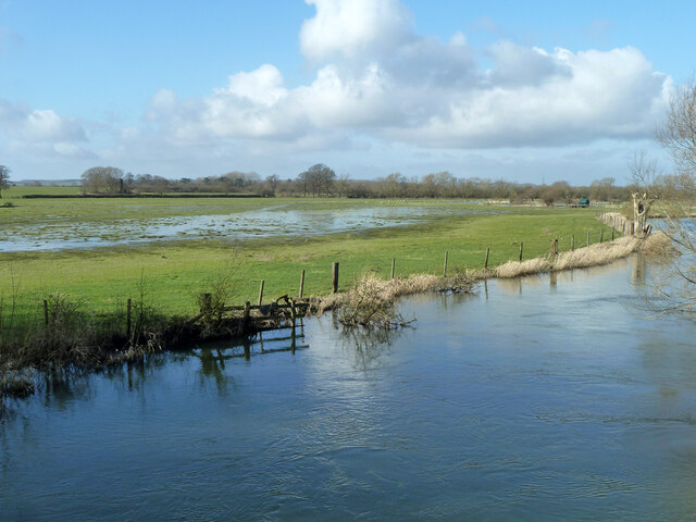
Waterstock is a civil parish located in the county of Oxfordshire, England. Situated approximately 8 miles east of Oxford, it covers an area of around 1.4 square miles. The village is nestled in the picturesque Oxfordshire countryside, surrounded by rolling hills and farmland.

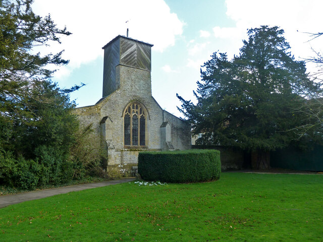
The parish is named after the village of Waterstock, which is its main settlement. Waterstock is a small and quaint village, with a population of around 200 people. It is known for its idyllic setting and charming thatched cottages. The village is centered around a historic church, St. Leonard's Church, which dates back to the 12th century and is a prominent feature of the local landscape.

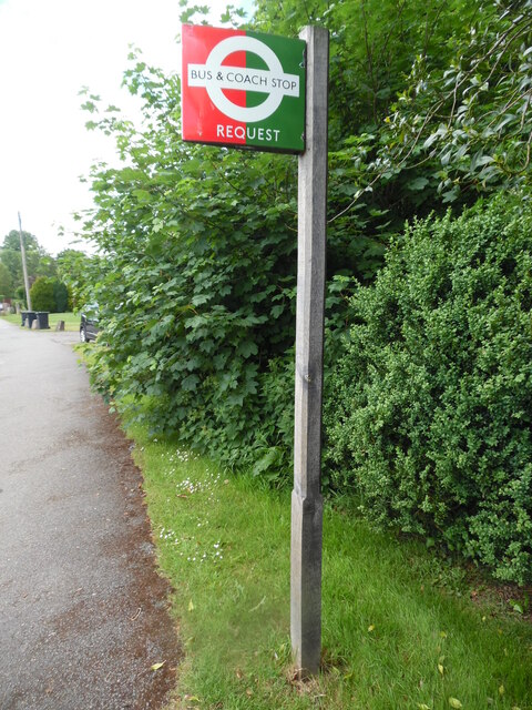
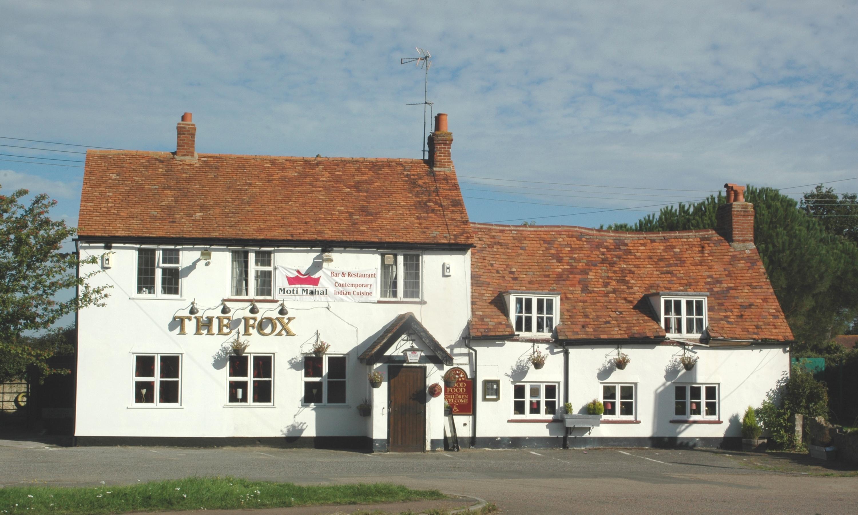
The community in Waterstock is tight-knit and friendly, with a strong sense of community spirit. The village has a local pub, The Waterstock Arms, which serves as a popular meeting place for residents and visitors alike. Additionally, there are several community events and activities that take place throughout the year, fostering a sense of unity and togetherness.

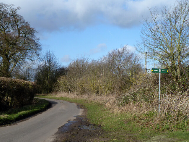
The surrounding countryside offers ample opportunities for outdoor activities, such as hiking, cycling, and horse riding. Waterstock also benefits from its proximity to Oxford, providing residents with easy access to a range of amenities, including shops, restaurants, and cultural attractions.

Overall, Waterstock is a charming and peaceful village, offering a tranquil lifestyle in a beautiful rural setting.

If you have any feedback on the listing, please let us know in the comments section below.
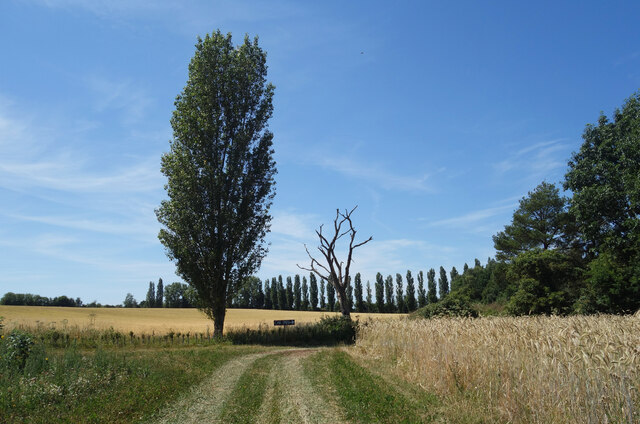
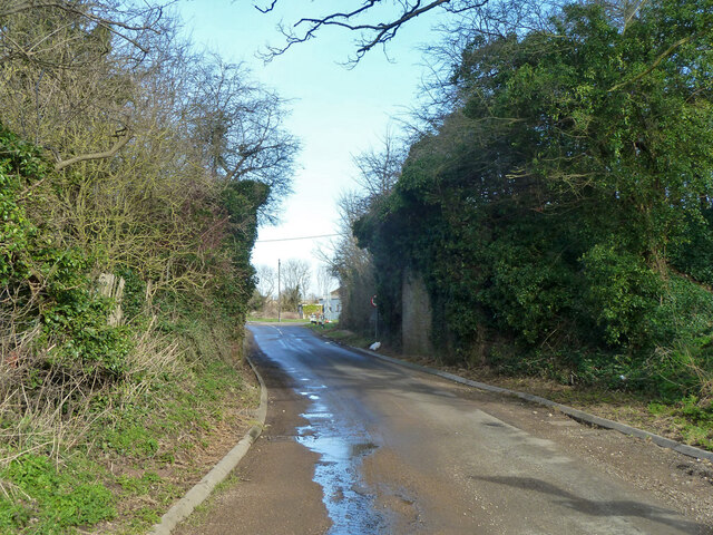
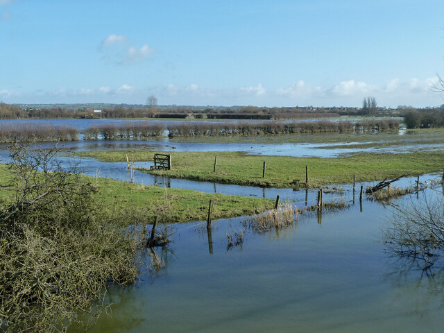
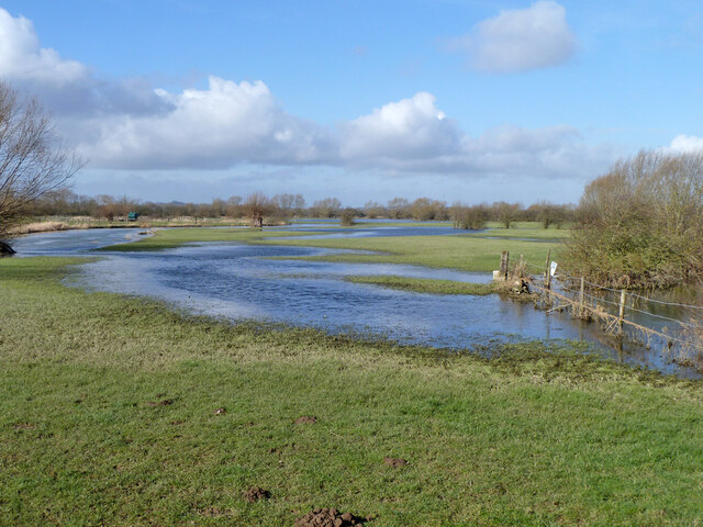
Waterstock Images

Images are sourced within 2km of 51.74253/-1.081346 or Grid Reference SP6305. Thanks to Geograph Open Source API. All images are credited.

Road from Albury The sole access road for Albury, heading towards Tiddington.
Road from Albury
The sole access road for Albury, heading towards Tiddington.
Bus/Coach Request Stop at Waterperry Gardens This bus/coach request stop is near the entrance to Waterperry Gardens, although at one time it was a London Transport bus stop where Green Line coaches would also stop to pick up and set down passengers. However, there is no regular bus service to Waterperry Gardens, the nearest stop being on the A418 south of Waterstock, SP6304 refers.
Bus/Coach Request Stop at Waterperry Gardens
This bus/coach request stop is near the entrance to Waterperry Gardens, although at one time it was a London Transport bus stop where Green Line coaches would also stop to pick up and set down passengers. However, there is no regular bus service to Waterperry Gardens, the nearest stop being on the A418 south of Waterstock, SP6304 refers.
The Amphitheatre at Waterperry Gardens This photo shows the amphitheatre where theatre productions and opera performances take place during the summer months.
The Amphitheatre at Waterperry Gardens
This photo shows the amphitheatre where theatre productions and opera performances take place during the summer months.
Lawn with flowers at Waterperry Gardens This photo shows a lawn with a colour border of plants and shrubs.
Lawn with flowers at Waterperry Gardens
This photo shows a lawn with a colour border of plants and shrubs.
Flower of a Tulip Tree at Waterperry Gardens This photo shows a flower of a tulip tree in Waterperry Gardens. Details of the tulip tree or liriodendron can be found on the Wikipedia website at <span class="nowrap"><a title="https://en.wikipedia.org/wiki/Liriodendron" rel="nofollow ugc noopener" href="https://en.wikipedia.org/wiki/Liriodendron">Link</a><img style="margin-left:2px;" alt="External link" title="External link - shift click to open in new window" src="https://s1.geograph.org.uk/img/external.png" width="10" height="10"/></span>.
Flower of a Tulip Tree at Waterperry Gardens
This photo shows a flower of a tulip tree in Waterperry Gardens. Details of the tulip tree or liriodendron can be found on the Wikipedia website at LinkExternal link.
Red Granite Obelisk in Waterperry Gardens (1) This obelisk was designed and carved by Simon Buchanan, and is the brainchild of the School of Economic Science who own Waterperry Gardens. The wording on the right side says "Peace And Peace And Peace Be Every Where". The Walled Garden can be seen in the background.
Red Granite Obelisk in Waterperry Gardens (1)
This obelisk was designed and carved by Simon Buchanan, and is the brainchild of the School of Economic Science who own Waterperry Gardens. The wording on the right side says "Peace And Peace And Peace Be Every Where". The Walled Garden can be seen in the background.
Red Granite Obelisk in Waterperry Gardens (2) This obelisk was commissioned by the School of Economic Science so that visitors can have a greater understanding of the philosophical principles of the School by expressing a common aim of members. It is similar to those of Egyptian style and incorporates an ancient prayer traditionally recited in Sanskrit and translated into English.
 The obelisk also expresses a desire that peace should be everywhere in the wording:
 'All be happy. All be without disease. All creatures have well-being and none should be in misery of any sort'.
Red Granite Obelisk in Waterperry Gardens (2)
This obelisk was commissioned by the School of Economic Science so that visitors can have a greater understanding of the philosophical principles of the School by expressing a common aim of members. It is similar to those of Egyptian style and incorporates an ancient prayer traditionally recited in Sanskrit and translated into English. The obelisk also expresses a desire that peace should be everywhere in the wording: 'All be happy. All be without disease. All creatures have well-being and none should be in misery of any sort'.
Viewing Tower in the Walled Garden at Waterperry Gardens This viewing tower in the Walled Garden was officially opened on Friday 20th September 2019. Founded by the School of Philosophy and Economic Science, it was
designed by David Hockney and built by John Franks. A cockerel sculpture has been fixed to the top of the tower.
Viewing Tower in the Walled Garden at Waterperry Gardens
This viewing tower in the Walled Garden was officially opened on Friday 20th September 2019. Founded by the School of Philosophy and Economic Science, it was designed by David Hockney and built by John Franks. A cockerel sculpture has been fixed to the top of the tower.
Poplars at Sandy Lane Farm
Old railway bridge, Sandy Lane, Tiddington The Princes Risborough - Oxford line, which closed here in 1968.
Old railway bridge, Sandy Lane, Tiddington
The Princes Risborough - Oxford line, which closed here in 1968.
River Thame in flood, 2014 Upstream of Ickford Bridge.
River Thame in flood, 2014
Upstream of Ickford Bridge.
River Thame in flood, 2014 Downstream of Ickford Bridge.
River Thame in flood, 2014
Downstream of Ickford Bridge.
Flooded fields by River Thame, 2014 Downstream of Ickford Bridge.
Flooded fields by River Thame, 2014
Downstream of Ickford Bridge.
Lane from Tiddington to Waterstock
Waterstock church - east end St. Leonard's is late 15th century, a grade II*(star) listed building.
Waterstock church - east end
St. Leonard's is late 15th century, a grade II*(star) listed building.
Waterstock churchyard
Waterstock church St. Leonard's is late 15th century, a grade II*(star) listed building.
Waterstock church
St. Leonard's is late 15th century, a grade II*(star) listed building.
Waterperry church St. Mary's is a grade I listed building, Saxon in origin.
Waterperry church
St. Mary's is a grade I listed building, Saxon in origin.
Show me another place!

Waterstock is located at Grid Ref: SP6305 (Lat: 51.74253, Lng: -1.081346)

Administrative County: Oxfordshire

District: South Oxfordshire

Police Authority: Thames Valley

What 3 Words

///dusts.huddling.gather. Near Wheatley, Oxfordshire

Nearby Locations

Waterstock Waterstock

Related Wikis

Oxford MSA

Oxford services is a motorway service station next to junction 8A of the M40 motorway at Waterstock near Wheatley in Oxfordshire, several miles to the...
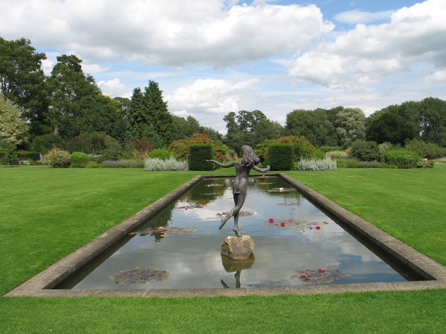
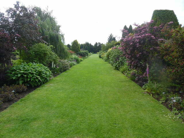
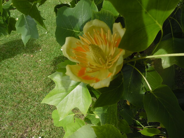
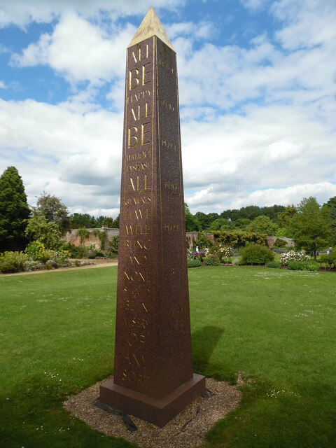
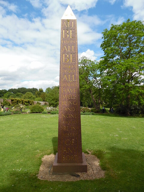
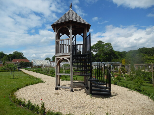
Waterperry Gardens

Waterperry Gardens are gardens with a museum in the village of Waterperry, near Wheatley, east of Oxford in Oxfordshire, England. == Description == Beatrix...

Tiddington railway station

Tiddington railway station was on the Wycombe Railway and served the village of Tiddington, Oxfordshire. On 24 October 1864 the Wycombe Railway opened...

Tiddington, Oxfordshire

Tiddington is a village in the civil parish of Tiddington-with-Albury, in the South Oxfordshire district, in Oxfordshire, England. It is about 3+1⁄2 miles...

Nearby Amenities

Located within 500m of 51.74253,-1.081346
Source: npe
Lat/Long: 51.7408113/-1.0823807
Fixme: ?building?
Source: npe
Lat/Long: 51.7446913/-1.0807828
Fixme: ?building?
Source: npe
Lat/Long: 51.745701/-1.0763196
Fixme: ?buildings?
Source: npe
Lat/Long: 51.7460199/-1.0774354
Fixme: ?buildings?
Source: npe
Lat/Long: 51.7462324/-1.0797529
Barrier: stile
Lat/Long: 51.7445703/-1.0836028
Barrier: stile
Lat/Long: 51.7440771/-1.0826519
Barrier: stile
Lat/Long: 51.7452619/-1.0800507
Barrier: stile
Lat/Long: 51.744849/-1.0781976
Barrier: stile
Lat/Long: 51.7446881/-1.0766039
Bus Stop
Waterstock Turn
Bench: no
Bin: no
Bus: yes
Naptan AtcoCode: 340001716CNR
Naptan Bearing: E
Naptan CommonName: Waterstock Turn
Naptan Indicator: Corner
Naptan Landmark: Waterstock Turn
Naptan NaptanCode: oxfgatpj
Naptan Street: Oxford Road
Naptan Verified: no
Public Transport: platform
Shelter: no
Source: naptan_import
Tactile Paving: no
Lat/Long: 51.7386503/-1.0809571
Bus Stop
Waterstock Turn
Bench: no
Bin: no
Bus: yes
Lit: no
Naptan AtcoCode: 340001716OPP
Naptan Bearing: W
Naptan CommonName: Waterstock Turn
Naptan Indicator: Opposite
Naptan Landmark: Waterstock Turn
Naptan NaptanCode: oxfgatpg
Naptan Street: Oxford Road
Naptan Verified: no
Public Transport: platform
Shelter: no
Source: naptan_import
Tactile Paving: no
Lat/Long: 51.7383821/-1.0823094
Barrier: stile
Source: survey
Lat/Long: 51.7445135/-1.0760658
Golf: pin
Lat/Long: 51.7394312/-1.0826334
Golf: pin
Lat/Long: 51.7422283/-1.0778649
Golf: pin
Lat/Long: 51.7425215/-1.0808982
Golf: pin
Lat/Long: 51.744011/-1.0761886
Golf: pin
Lat/Long: 51.7393167/-1.0808823
Golf: pin
Lat/Long: 51.7425409/-1.0835873
Golf: pin
Lat/Long: 51.7401997/-1.0827651
Golf: pin
Lat/Long: 51.7433275/-1.0752395
Golf: pin
Lat/Long: 51.7413872/-1.0782489
Golf: pin
Lat/Long: 51.7421465/-1.0752056
Golf: pin
Lat/Long: 51.7400465/-1.0811112
The data included in this document is from www.openstreetmap.org. The data is made available under ODbL.

Have you been to Waterstock?

Leave your review of Waterstock below (or comments, questions and feedback).