Waters Upton

Civil Parish in Shropshire

England

Waters Upton

Farmland at Harebutt Bank
Farmland at Harebutt Bank Credit: Richard Law

Waters Upton is a small civil parish located in the county of Shropshire, England. It is situated approximately 7 miles north of Telford and 13 miles west of Stafford. The parish covers an area of around 1.5 square miles and has a population of just over 200 people.

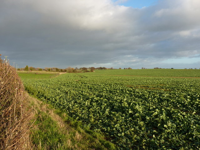
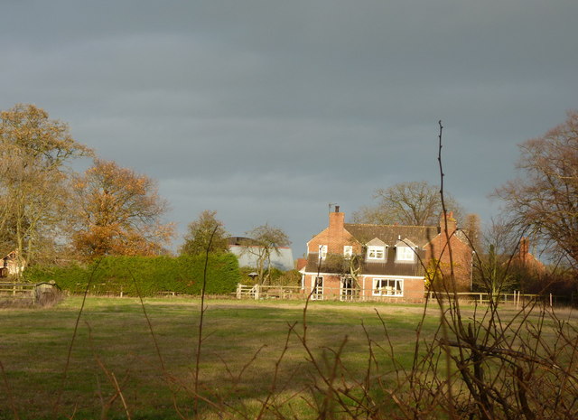
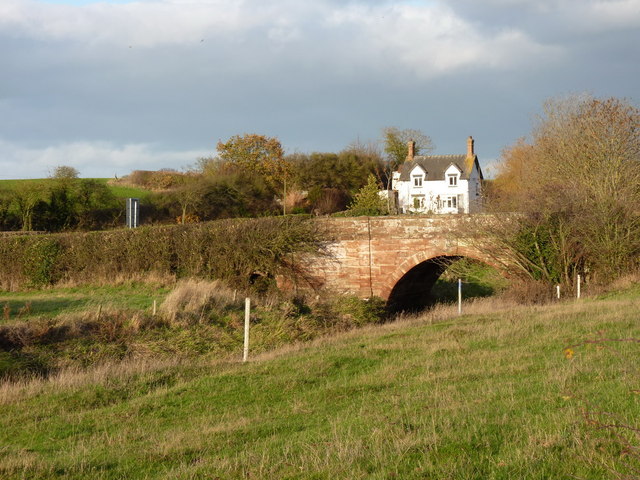
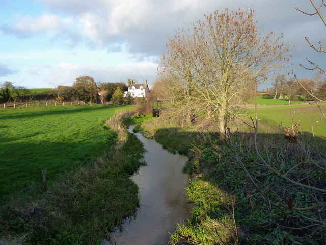
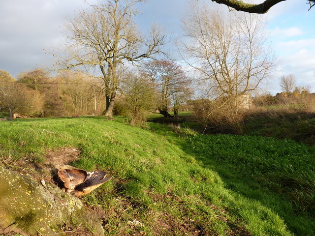
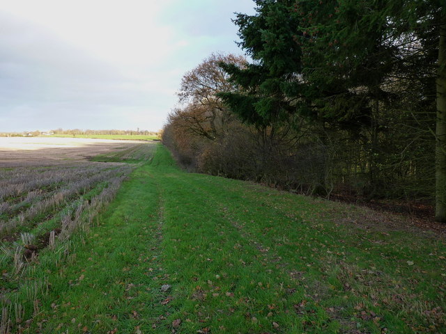
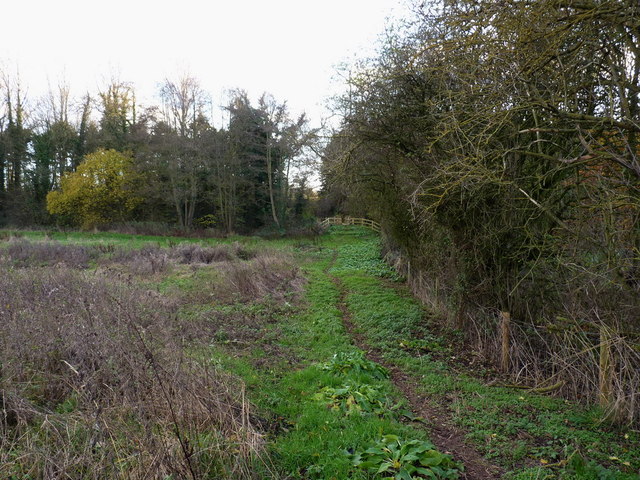
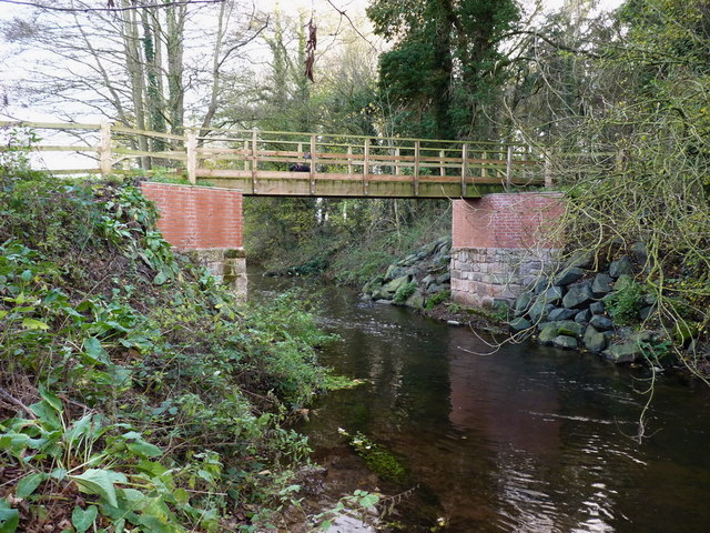
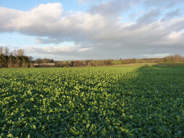
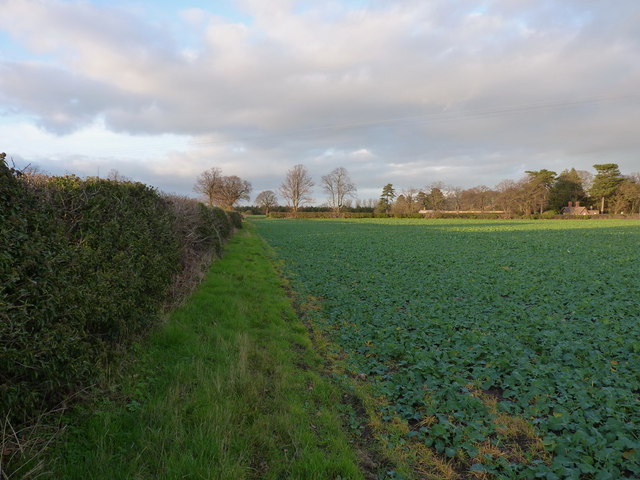
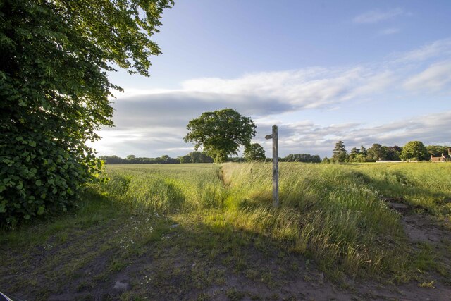
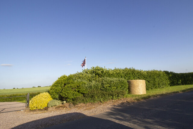
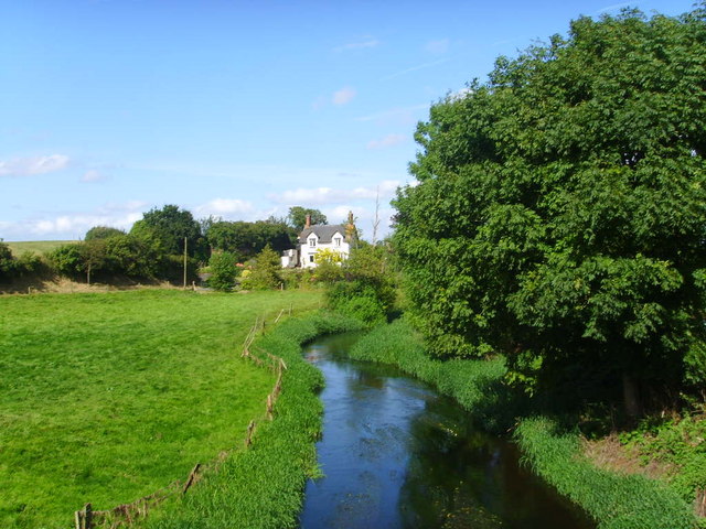
The village of Waters Upton is surrounded by picturesque countryside, with rolling hills and farmland dominating the landscape. The River Tern runs through the parish, adding to its natural beauty. The area is known for its tranquil and rural atmosphere, making it an attractive location for those seeking a peaceful countryside retreat.

In terms of amenities, Waters Upton has a community hall that serves as a gathering place for various activities and events. There is also a village pub, offering a friendly and welcoming atmosphere for residents and visitors alike.

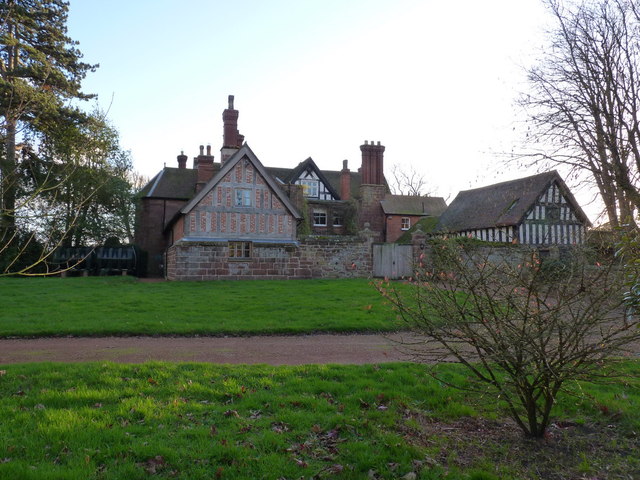
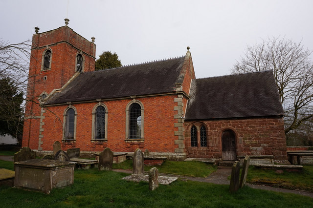
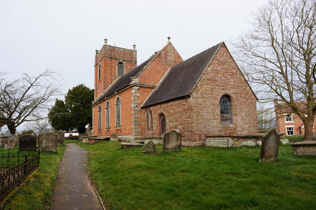
Historically, Waters Upton has a rich heritage dating back to the medieval period. The village was mentioned in the Domesday Book of 1086, and remnants of its past can still be seen today. The St. Michael and All Angels Church, a Grade II listed building, stands as a testament to the village's history and architectural significance.

Overall, Waters Upton is a charming and idyllic parish, offering a rural retreat for those looking to escape the hustle and bustle of city life. With its stunning countryside, community spirit, and historical landmarks, it is a place that continues to captivate locals and visitors alike.

If you have any feedback on the listing, please let us know in the comments section below.

Waters Upton Images

Images are sourced within 2km of 52.774108/-2.525164 or Grid Reference SJ6419. Thanks to Geograph Open Source API. All images are credited.

Farmland at Harebutt Bank
Harebutt farm The main house at the intriguingly-named Harebutt Farm
Harebutt farm
The main house at the intriguingly-named Harebutt Farm
Bolas bridge - over the River Meese The bridge is a Grade II listed structure from 1795, with a benchmark cut into one of the parapet stones on the western side of the road.
Bolas bridge - over the River Meese
The bridge is a Grade II listed structure from 1795, with a benchmark cut into one of the parapet stones on the western side of the road.
Cut benchmark - Bolas bridge Not a great picture; the light wasn't ideal, but there's a cut mark in the main square sandstone block in the centre of the shot.
Cut benchmark - Bolas bridge
Not a great picture; the light wasn't ideal, but there's a cut mark in the main square sandstone block in the centre of the shot.
The Meese upstream of Bolas bridge
The Meese valley near Great Bolas A large bracket fungus growing out of the bole of a tree provides the foreground in a low shot of the river valley.
The Meese valley near Great Bolas
A large bracket fungus growing out of the bole of a tree provides the foreground in a low shot of the river valley.
Footpath alongside a copse near Great Bolas
Path to the footbridge over the Meese
Spangly new bridge over the River Meese
Crops in fields north of Meeson Hall
Meeson Hall from the rear A Grade II listed building, dating from 1640, but modernised over the years.
<span class="nowrap"><a title="http://www.britishlistedbuildings.co.uk/en-361873-meeson-hall-including-adjoining-timber-f" rel="nofollow ugc noopener" href="http://www.britishlistedbuildings.co.uk/en-361873-meeson-hall-including-adjoining-timber-f">Link</a><img style="margin-left:2px;" alt="External link" title="External link - shift click to open in new window" src="https://s1.geograph.org.uk/img/external.png" width="10" height="10"/></span>
Meeson Hall from the rear
A Grade II listed building, dating from 1640, but modernised over the years. LinkExternal link
West Lodge entrance to Meeson Hall
Footpath between Meeson Hall and Meeson Heath
Cottages in Meeson Heath
Footpath near Meesdon Hall farm
Field and hedgerow at Harebutts Bank
St John the Baptist Church, Bolas Magna
Show me another place!

Waters Upton is located at Grid Ref: SJ6419 (Lat: 52.774108, Lng: -2.525164)

Unitary Authority: Telford and Wrekin

Police Authority: West Mercia

What 3 Words

///parked.blubber.sandwich. Near Eyton upon the Weald Moors, Shropshire

Nearby Locations

Waters Upton

Related Wikis

Waters Upton

Waters Upton is a small village and civil parish in the Telford and Wrekin district, in the county of Shropshire, England. The population of the civil...

River Meese

The River Meese is a river, located in Shropshire, England. It is a tributary of the River Tern, itself a tributary of the River Severn. The river is only...

Great Bolas

Great Bolas (), or Bolas Magna, is a village in the Telford and Wrekin borough of Shropshire, England, It is situated north-west of Newport, and about...

Cherrington

Cherrington is a village and former civil parish, now in the parish of Tibberton and Cherrington, in the Telford and Wrekin district, in the ceremonial...

Nearby Amenities

Located within 500m of 52.774108,-2.525164
The data included in this document is from www.openstreetmap.org. The data is made available under ODbL.

Have you been to Waters Upton?

Leave your review of Waters Upton below (or comments, questions and feedback).