Upper Hardres
Civil Parish in Kent Canterbury
England
Upper Hardres

Upper Hardres is a civil parish located in the county of Kent, England. Situated in the district of Canterbury, it covers an area of approximately 6.6 square kilometers. The parish is surrounded by the beautiful Kentish countryside, with rolling hills and picturesque landscapes.
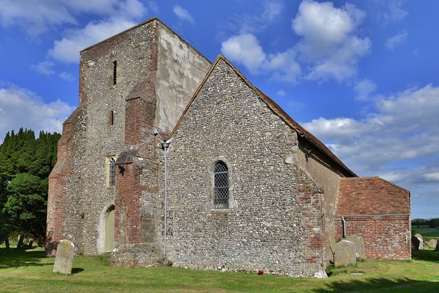
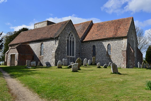
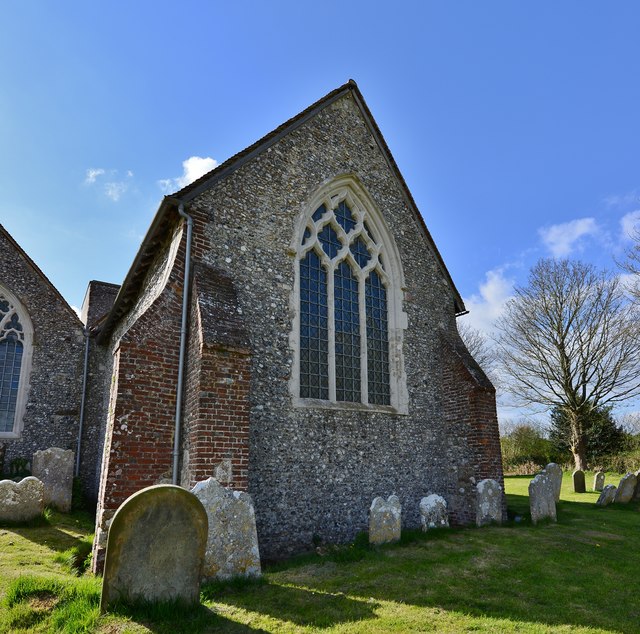
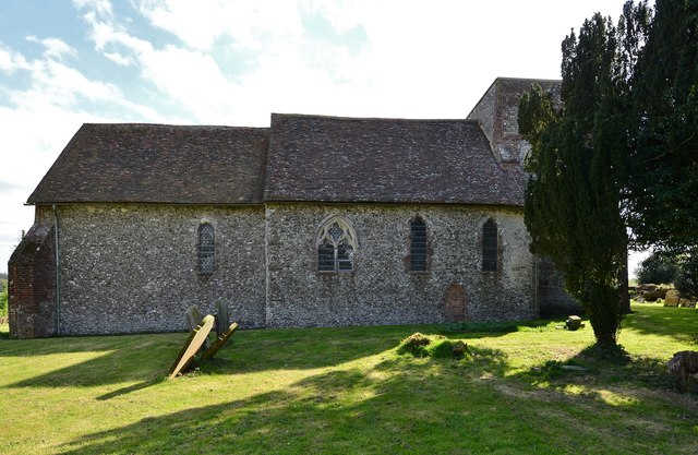
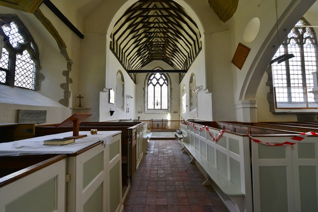
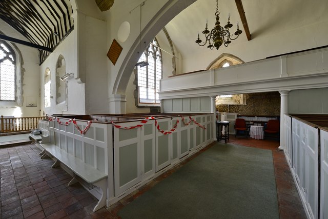
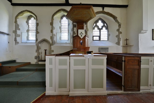
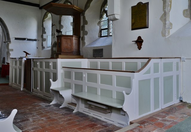
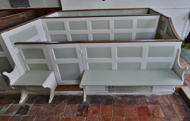
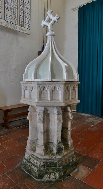
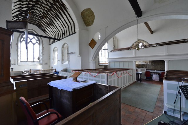
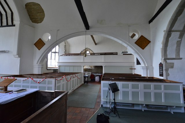
The village of Upper Hardres is the main settlement within the parish, and it is home to a small but tight-knit community. The village has a charming and traditional English feel, with a mix of historic and modern buildings. There is a local church, St. Peter's Church, which dates back to the 12th century and is a prominent feature of the village.
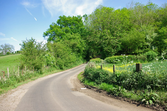
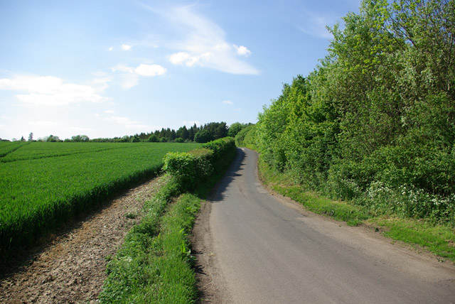
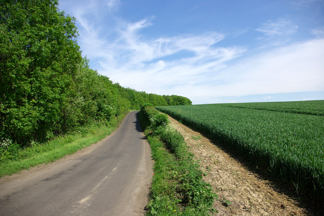
The area is primarily rural, with farmland and woodlands dominating the landscape. The countryside surrounding Upper Hardres offers ample opportunities for outdoor activities such as hiking, cycling, and horse riding. The parish is also known for its wildlife, with various species of birds and mammals inhabiting the area.
Upper Hardres is well-connected to nearby towns and cities, with good transport links. The village is approximately 10 kilometers south of the city of Canterbury, which offers a wide range of amenities, including shopping centers, restaurants, and cultural attractions.
Overall, Upper Hardres is a peaceful and picturesque civil parish in Kent, offering a tranquil and idyllic lifestyle for its residents.
If you have any feedback on the listing, please let us know in the comments section below.
Upper Hardres Images
Images are sourced within 2km of 51.207174/1.081848 or Grid Reference TR1549. Thanks to Geograph Open Source API. All images are credited.


Upper Hardres is located at Grid Ref: TR1549 (Lat: 51.207174, Lng: 1.081848)
Administrative County: Kent
District: Canterbury
Police Authority: Kent
What 3 Words
///defenders.letters.sued. Near Barham, Kent
Nearby Locations
Related Wikis

Upper Hardres
Upper Hardres is a village and civil parish in the City of Canterbury, in the district of Kent, England. The name of the Hardres family is perpetuated...

Bossingham
Bossingham is a village in the parish of Upper Hardres and the district of the City of Canterbury, Kent, England. It is located about five miles (8 km...

Reed Mill, Kingston
Reed Mill is a tower mill in Kingston, Kent, England that was built in the early nineteenth century and worked until 1915, after which the mill was derelict...

Lynsore Bottom
Lynsore Bottom is a 70.6-hectare (174-acre) biological Site of Special Scientific Interest north of Folkestone in Kent.These coppice with standards woods...
Nearby Amenities
Located within 500m of 51.207174,1.081848Have you been to Upper Hardres?
Leave your review of Upper Hardres below (or comments, questions and feedback).