Upper Helmsley

Civil Parish in Yorkshire Ryedale

England

Upper Helmsley

Stamford Bridge at dusk Looking towards the bridge from the viaduct. Behind the Wolds rise up over the Vale of York.
Stamford Bridge at dusk Credit: DS Pugh

Upper Helmsley is a small civil parish located in the county of Yorkshire, England. Situated approximately 8 miles northeast of the historic city of York, the parish covers an area of about 4 square miles. It is part of the Ryedale district and falls within the traditional boundaries of the East Riding of Yorkshire.

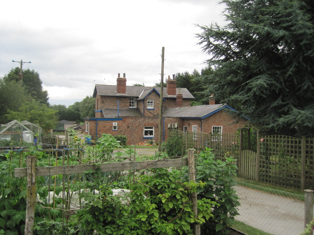
The village of Upper Helmsley itself is a charming rural settlement with a population of around 250 residents. It is surrounded by picturesque countryside, offering stunning views of rolling hills and verdant fields. The village is known for its peaceful and idyllic atmosphere, making it a popular destination for those seeking a tranquil retreat.

Upper Helmsley boasts a rich history, with evidence of human habitation dating back to the Roman era. The village is home to a Grade II* listed church, St. Peter's Church, which dates back to the 12th century. The church is a prominent landmark and a testament to the area's historical significance.

The parish is predominantly rural, with agriculture playing a significant role in the local economy. The fertile land is used for farming, particularly for livestock and arable farming. The village is also surrounded by several nature reserves, providing opportunities for wildlife enthusiasts and nature lovers to explore the diverse flora and fauna of the area.

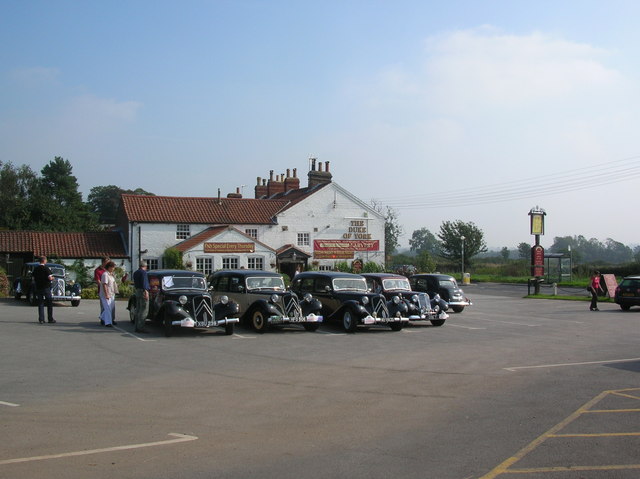
Despite its small size, Upper Helmsley offers essential amenities for its residents, including a village hall and a pub. Additionally, its close proximity to York provides easy access to a wider range of services and amenities.

Overall, Upper Helmsley is a charming and historic village that offers a peaceful and rural lifestyle amidst the stunning Yorkshire countryside.

If you have any feedback on the listing, please let us know in the comments section below.

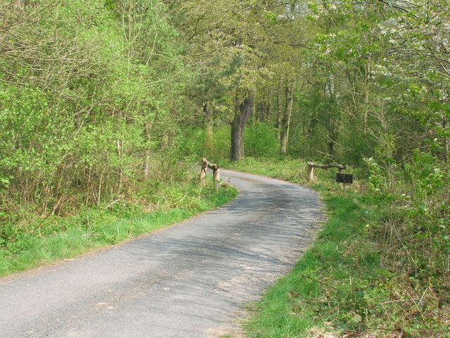
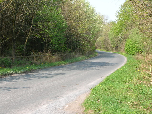
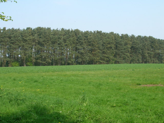
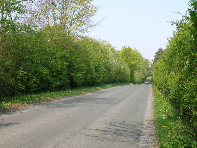
Upper Helmsley Images

Images are sourced within 2km of 54.001959/-0.941273 or Grid Reference SE6956. Thanks to Geograph Open Source API. All images are credited.

Stamford Bridge at dusk Looking towards the bridge from the viaduct. Behind the Wolds rise up over the Vale of York.
Stamford Bridge at dusk
Looking towards the bridge from the viaduct. Behind the Wolds rise up over the Vale of York.
River Derwent from the old railway viaduct
Grange Farm
Grange Farm
Minor Road towards Sand Hutton
Track through woodland, Buttercrambe Moor
Minor road towards Sand Hutton
Whitehills Wood
Whitehills Wood
Minor road towards Sand Hutton
Stamford  Bridge  Viaduct Built of brick with a single 90 foot iron span which crosses the River Derwent. Opened on the 3rd of October 1847 to carry the York to Beverley line.The last train ran across the viaduct on the 27th of November 1965. It is the oldest remaining railbridge of its type, Grade 2 Listed. It now forms part of a public cycle route.
Stamford Bridge Viaduct
Built of brick with a single 90 foot iron span which crosses the River Derwent. Opened on the 3rd of October 1847 to carry the York to Beverley line.The last train ran across the viaduct on the 27th of November 1965. It is the oldest remaining railbridge of its type, Grade 2 Listed. It now forms part of a public cycle route.
Minster  Way  approaching  Stamford  Bridge Following the River Derwent the footpath goes under the railway viaduct, which used to carry the York to Beverley line then on to the second bridge which carries the A166, with difficulty! There cannot be many A roads with traffic lights and one way traffic over a bridge.
Minster Way approaching Stamford Bridge
Following the River Derwent the footpath goes under the railway viaduct, which used to carry the York to Beverley line then on to the second bridge which carries the A166, with difficulty! There cannot be many A roads with traffic lights and one way traffic over a bridge.
Footpath alongside River Derwent
Bricks and metal, Stamford Bridge This bridge once carried the major railway artery from York to Hull serving Pocklington and Market Weighton in its time.  Now it carries a Sustrans route.  See <span class="nowrap"><a title="http://www.sustrans.org.uk/supporters/spring2006/pdf/north-east.pdf" rel="nofollow ugc noopener" href="http://www.sustrans.org.uk/supporters/spring2006/pdf/north-east.pdf">Link</a><img style="margin-left:2px;" alt="External link" title="External link - shift click to open in new window" src="https://s1.geograph.org.uk/img/external.png" width="10" height="10"/></span> .
Bricks and metal, Stamford Bridge
This bridge once carried the major railway artery from York to Hull serving Pocklington and Market Weighton in its time. Now it carries a Sustrans route. See LinkExternal link .
Brick arches of the viaduct The viaduct once carried the York to Beverley railway, closed to passengers in 1965.
Brick arches of the viaduct
The viaduct once carried the York to Beverley railway, closed to passengers in 1965.
The former rail viaduct at Stamford Bridge
Farmland off the Buttercrambe road Looking in the direction of Buttercrambe close to Stamford Bridge.
Farmland off the Buttercrambe road
Looking in the direction of Buttercrambe close to Stamford Bridge.
Farmland near the old railway Just north of the embankment from the old railway.
Farmland near the old railway
Just north of the embankment from the old railway.
Stamford Bridge Viaduct Dating from 1847, the Grade II* listed viaduct originally carried the York to Beverley railway line over the Derwent. It consists of red brick arches either side of this single wrought-iron span. The railway closed in 1965; plans to demolish the viaduct in 1991 were cancelled following protests, and it has since been repaired and carries a public cycle route.
Stamford Bridge Viaduct
Dating from 1847, the Grade II* listed viaduct originally carried the York to Beverley railway line over the Derwent. It consists of red brick arches either side of this single wrought-iron span. The railway closed in 1965; plans to demolish the viaduct in 1991 were cancelled following protests, and it has since been repaired and carries a public cycle route.
River Derwent near Stamford Bridge Looking downstream close to the western end of the village, close to the footpath to Low Catton
River Derwent near Stamford Bridge
Looking downstream close to the western end of the village, close to the footpath to Low Catton
Show me another place!

Upper Helmsley is located at Grid Ref: SE6956 (Lat: 54.001959, Lng: -0.941273)

Division: North Riding

Administrative County: North Yorkshire

District: Ryedale

Police Authority: North Yorkshire

What 3 Words

///formless.corded.frown. Near Stamford Bridge, East Yorkshire

Related Wikis

Upper Helmsley

Upper Helmsley is a village and civil parish in North Yorkshire, England, about seven miles east of York. The population taken at the 2011 Census was less...

Holtby railway station

Holtby railway station was a station on the York to Beverley Line in North Yorkshire, England. It opened as Gate Helmsley in 1848 and was renamed Holtby...

Gate Helmsley

Gate Helmsley is a village and civil parish in North Yorkshire, England, about seven miles east of York. The village lies on the border with the East Riding...

Sand Hutton Miniature Railway

The Sand Hutton Miniature Railway was a miniature gauge estate railway serving the estate of Sir Robert Walker, the Fourth Baronet of Sand Hutton, Yorkshire...

Nearby Amenities

Located within 500m of 54.001959,-0.941273
Upper Helmsley
Place: hamlet
Wikidata: Q2768667
Wikipedia: en:Upper Helmsley
Lat/Long: 54.0038052/-0.9412526
Post Box
Post Box Type: wall
Ref: YO41 19
Royal Cypher: VR
Royal Cypher Wikidata: Q33102356
Lat/Long: 54.0036262/-0.9405276
The data included in this document is from www.openstreetmap.org. The data is made available under ODbL.

Have you been to Upper Helmsley?

Leave your review of Upper Helmsley below (or comments, questions and feedback).