Buckhaven
Settlement in Fife
Scotland
Buckhaven

Buckhaven is a town located on the east coast of Scotland, in the Kingdom of Fife. It is situated approximately 10 miles north of the town of Kirkcaldy and 10 miles south of the city of Dundee. With a population of around 15,000 people, Buckhaven is one of the larger settlements in the area.
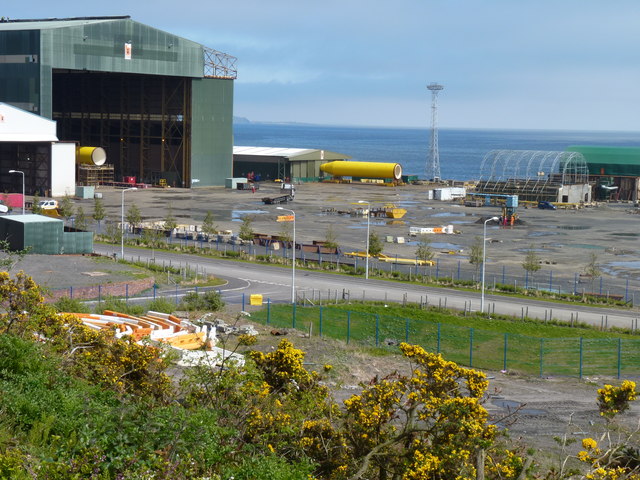
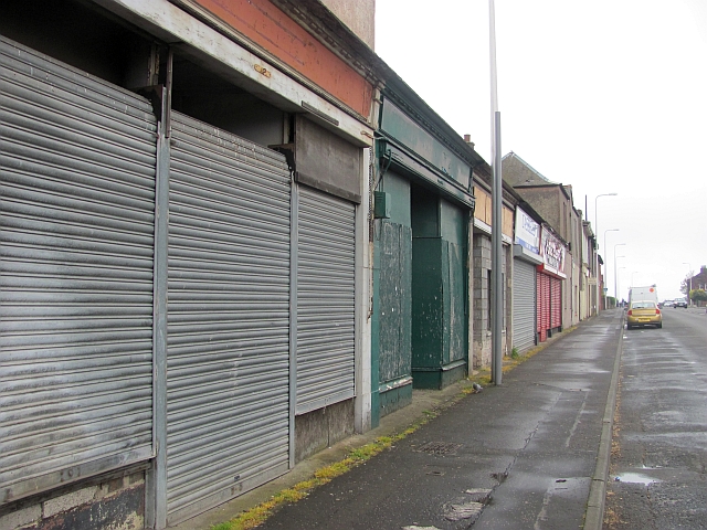
The town has a rich history, with evidence of human habitation dating back thousands of years. In the 19th century, Buckhaven became a prominent fishing village, known for its thriving fishing industry. However, with the decline of fishing in the 20th century, the town underwent significant economic changes.
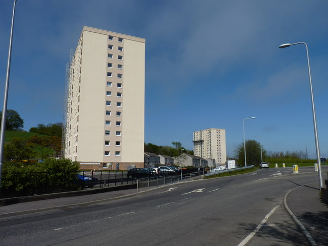
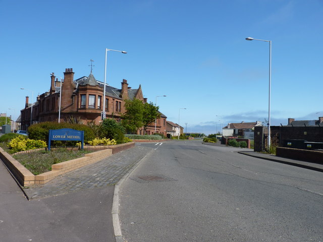
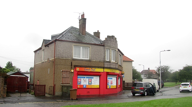
Today, Buckhaven is a primarily residential area, with a mix of modern housing developments and traditional stone-built houses. The town also boasts a range of amenities and facilities, including several primary and secondary schools, a leisure center, and a library.
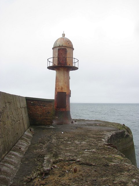
Buckhaven benefits from its coastal location, with stunning views across the Firth of Forth. Nearby, the Wemyss Caves are a popular tourist attraction, providing a glimpse into the area's prehistoric past.
Transport links in Buckhaven are well-developed, with regular bus services connecting the town to surrounding areas. The nearby A955 road provides access to both Kirkcaldy and Dundee, making it convenient for commuters.
Overall, Buckhaven is a charming town with a rich history, beautiful coastal scenery, and a close-knit community.
If you have any feedback on the listing, please let us know in the comments section below.
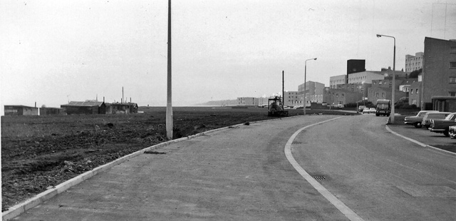
Buckhaven Images
Images are sourced within 2km of 56.171029/-3.034086 or Grid Reference NT3598. Thanks to Geograph Open Source API. All images are credited.


Buckhaven is located at Grid Ref: NT3598 (Lat: 56.171029, Lng: -3.034086)
Unitary Authority: Fife
Police Authority: Fife
What 3 Words
///judges.season.cones. Near Buckhaven, Fife
Related Wikis
Buckhaven railway station
Buckhaven railway station served the town of Buckhaven, Fife, Scotland, from 1881 to 1964 on the Wemyss and Buckhaven Railway. == History == The station...
Buckhaven
Buckhaven is a town on the east coast of Fife, Scotland, on the Firth of Forth between East Wemyss and Methil. Buckhaven is on the Fife Coastal Path,...
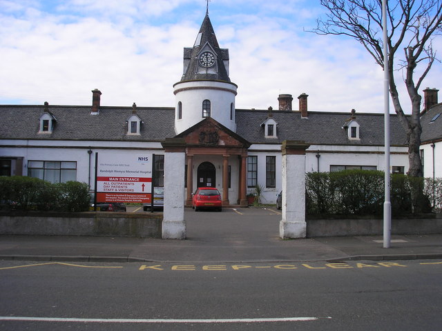
Randolph Wemyss Memorial Hospital
Randolph Wemyss Memorial Hospital is a community hospital located in Buckhaven, Fife. It is managed by NHS Fife. == History == The original hospital was...

Buckhaven High School
Buckhaven High School was a six-year co-educational non-denominational comprehensive school in Buckhaven, Fife, Scotland. In the past, Buckhaven was Levenmouth...
Nearby Amenities
Located within 500m of 56.171029,-3.034086Have you been to Buckhaven?
Leave your review of Buckhaven below (or comments, questions and feedback).