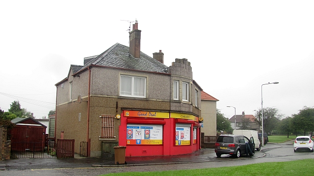
Muiredge
Settlement in Fife
Scotland
Muiredge

Muiredge is a small village located in the county of Fife, Scotland. It is situated in the eastern part of the country, approximately 2 miles north of the town of Leven. With a population of around 500 residents, it is a close-knit community that offers a peaceful and quiet living environment.
The village is known for its picturesque surroundings, surrounded by beautiful countryside and farmland. It provides stunning views and opportunities for outdoor activities, such as hiking and cycling. The nearby Letham Glen offers a peaceful retreat with its woodland walks and children's play area.
Muiredge is well-connected to the nearby towns and cities, including Leven, Kirkcaldy, and St. Andrews, through a reliable network of roads and public transportation. This accessibility allows residents to easily access amenities, services, and employment opportunities in the surrounding areas.
In terms of amenities, Muiredge has a few local shops and a pub, providing essential goods and a place for locals to socialize. For more extensive shopping and leisure options, residents can visit the nearby town of Leven, which offers a range of supermarkets, restaurants, and recreational facilities.
Education is served by Muiredge Primary School, ensuring that the younger members of the community have access to quality education within the village itself. Secondary education is provided by schools in the nearby towns.
Overall, Muiredge is a charming village that offers a tranquil living environment and easy access to nearby towns and cities. Its beautiful surroundings and community spirit make it an attractive place to reside for those seeking a quieter lifestyle.
If you have any feedback on the listing, please let us know in the comments section below.
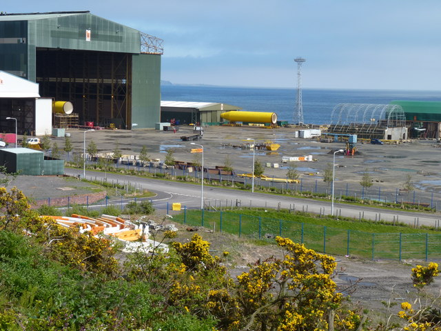
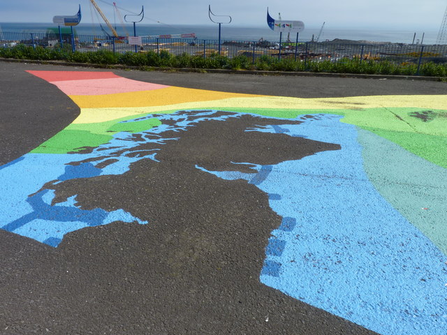
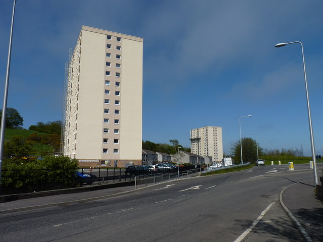
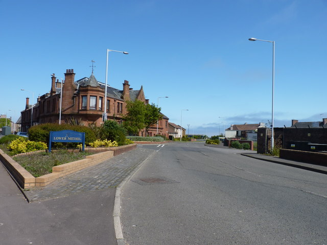
Muiredge Images
Images are sourced within 2km of 56.177314/-3.039957 or Grid Reference NT3598. Thanks to Geograph Open Source API. All images are credited.


Muiredge is located at Grid Ref: NT3598 (Lat: 56.177314, Lng: -3.039957)
Unitary Authority: Fife
Police Authority: Fife
What 3 Words
///tests.tilt.moment. Near Buckhaven, Fife
Related Wikis
Buckhaven
Buckhaven is a town on the east coast of Fife, Scotland, on the Firth of Forth between East Wemyss and Methil. Buckhaven is on the Fife Coastal Path,...
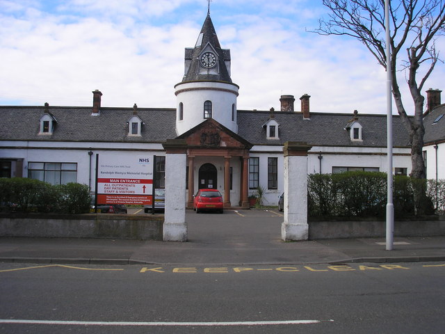
Randolph Wemyss Memorial Hospital
Randolph Wemyss Memorial Hospital is a community hospital located in Buckhaven, Fife. It is managed by NHS Fife. == History == The original hospital was...
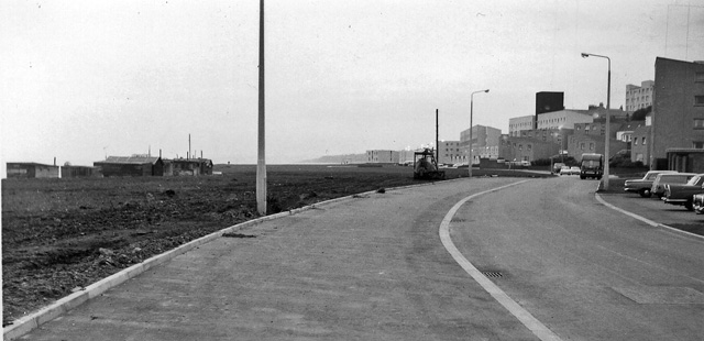
Buckhaven railway station
Buckhaven railway station served the town of Buckhaven, Fife, Scotland, from 1881 to 1964 on the Wemyss and Buckhaven Railway. == History == The station...

Buckhaven High School
Buckhaven High School was a six-year co-educational non-denominational comprehensive school in Buckhaven, Fife, Scotland. In the past, Buckhaven was Levenmouth...

Methil
Methil (Scottish Gaelic: Meadhchill) is an eastern coastal town in Scotland. It was first recorded as "Methkil" in 1207, and belonged to the Bishop of...
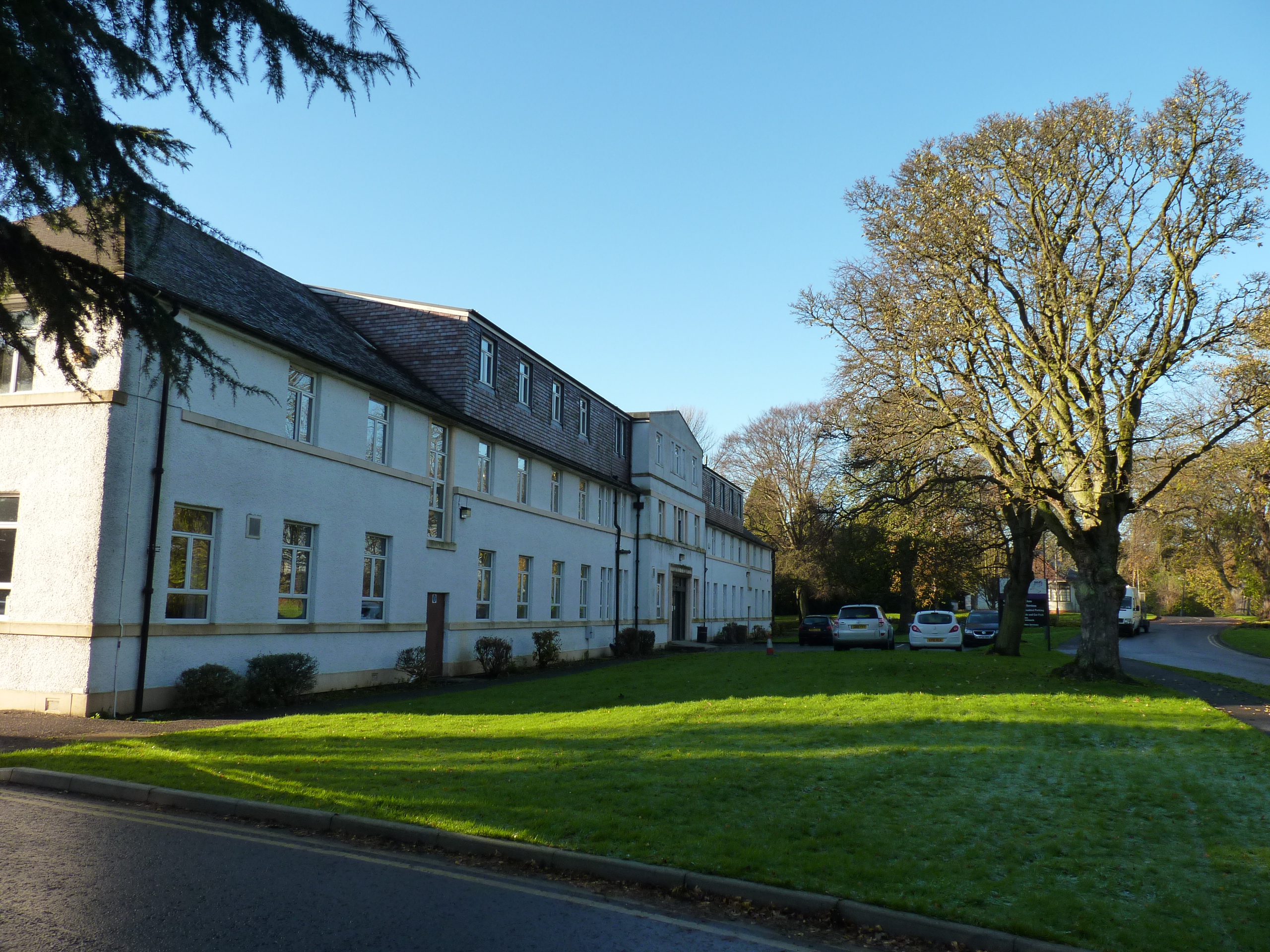
Cameron Hospital
Cameron Hospital is a health facility in Cameron Road, Windygates, Fife, Scotland. It is managed by NHS Fife. The original building, known as Haig House...
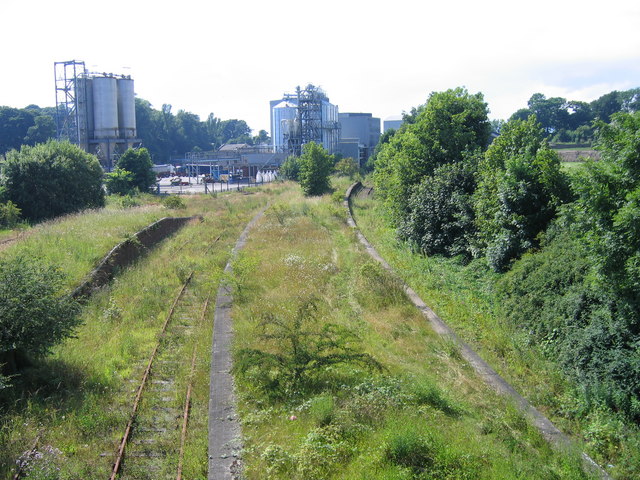
Cameron Bridge railway station
Cameron Bridge railway station served the village of Cameron Bridge, Fife, Scotland from 1854 to the 1990s on the Fife Coast Railway. The line and station...
Kirkland High School and Community College
Kirkland High School (formerly known as Kirkland High School and Community College and Kirkland Junior High School) was a six-year comprehensive school...
Nearby Amenities
Located within 500m of 56.177314,-3.039957Have you been to Muiredge?
Leave your review of Muiredge below (or comments, questions and feedback).