Muirdrum
Settlement in Angus
Scotland
Muirdrum
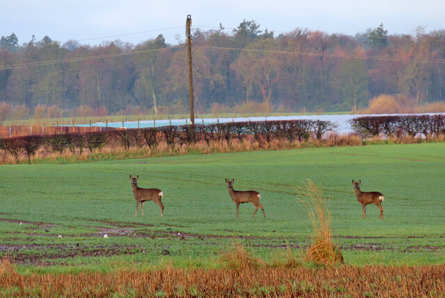
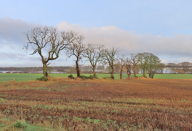
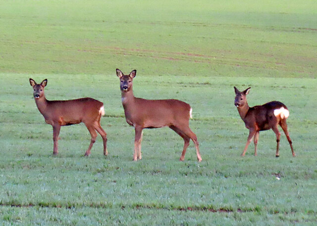
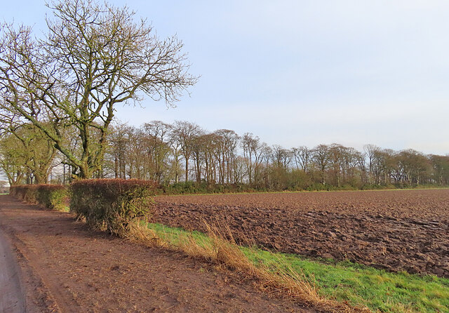
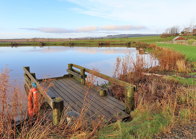
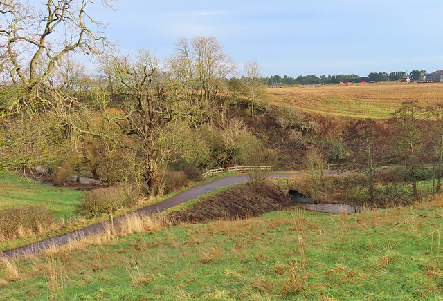
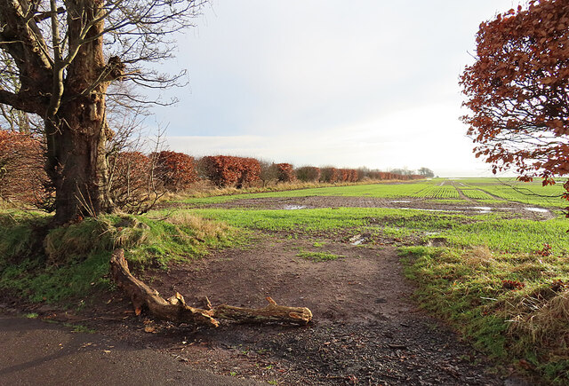
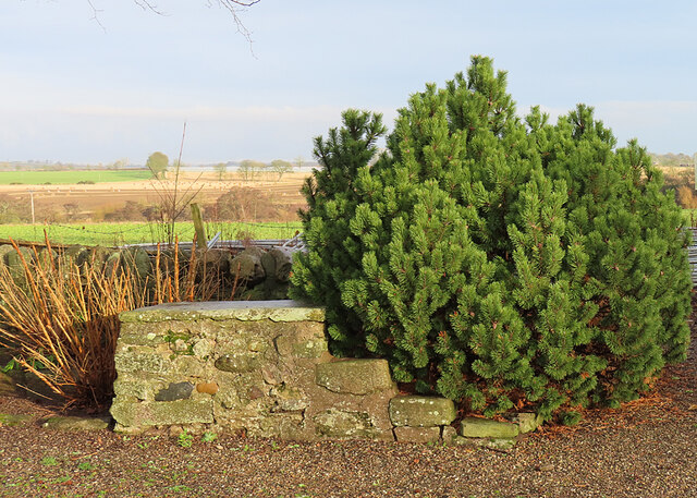
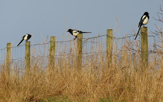
Muirdrum is a small village located in the Angus council area of Scotland. Situated about 5 miles southwest of Arbroath, it lies within the eastern region of the country. Muirdrum is a rural community surrounded by picturesque landscapes, with rolling hills and lush green fields that are typical of the Angus countryside.
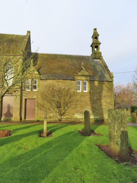
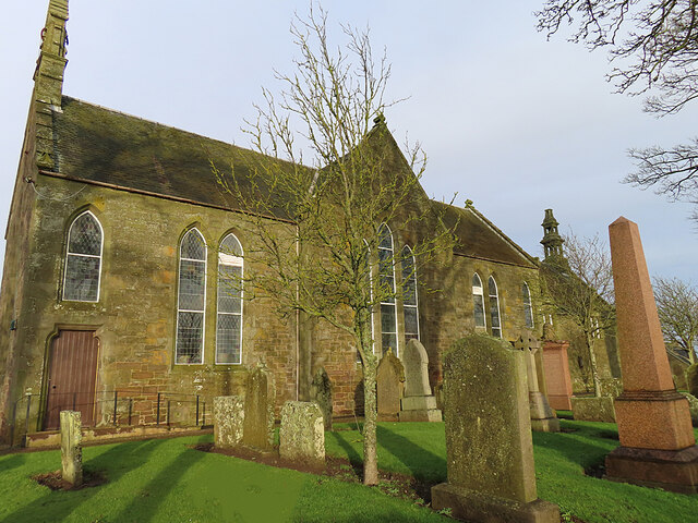
The village itself is home to a relatively small population, with a close-knit community feel. It is characterized by its charming, traditional architecture, with stone-built houses and cottages lining its streets. Despite its small size, Muirdrum has a strong community spirit, with various local events and gatherings taking place throughout the year.
Muirdrum is well-connected to nearby towns and cities, with easy access to arterial roads such as the A92, which links it to Arbroath and Dundee. This makes it a convenient location for commuters who work in these areas but prefer the tranquility of a rural setting.
The village boasts a few amenities for its residents, including a local pub, a small convenience store, and a primary school. For more extensive shopping and leisure facilities, residents can easily access nearby towns and cities.
Overall, Muirdrum offers a peaceful and idyllic lifestyle for its residents, with its scenic surroundings and strong sense of community. It is a place that attracts those seeking a quieter, countryside living experience while still being within reach of urban amenities.
If you have any feedback on the listing, please let us know in the comments section below.
Muirdrum Images
Images are sourced within 2km of 56.526045/-2.711058 or Grid Reference NO5637. Thanks to Geograph Open Source API. All images are credited.
Muirdrum is located at Grid Ref: NO5637 (Lat: 56.526045, Lng: -2.711058)
Unitary Authority: Angus
Police Authority: Tayside
What 3 Words
///upstarts.product.lawfully. Near Carnoustie, Angus
Nearby Locations
Related Wikis

Muirdrum
Muirdrum () is a small village in the council area of Angus, Scotland. It is situated at the junction of the old A92 road from Dundee to Arbroath, the...

Carlogie
Carlogie is a hamlet in Angus, Scotland. It lies approximately half a mile north of Carnoustie on the A930 road. Carlogie House was erected in 1854 as...
Salmond's Muir
Salmond's Muir is a hamlet in the council area of Angus, Scotland. It is situated 2 miles (3 km) north-east of Carnoustie and 4 miles (6 km) west of Arbroath...

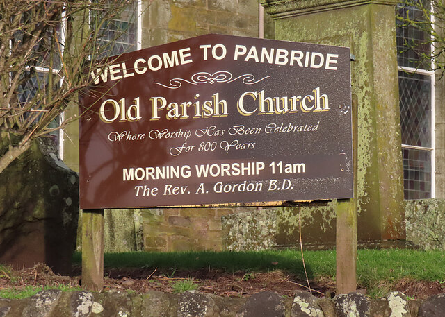
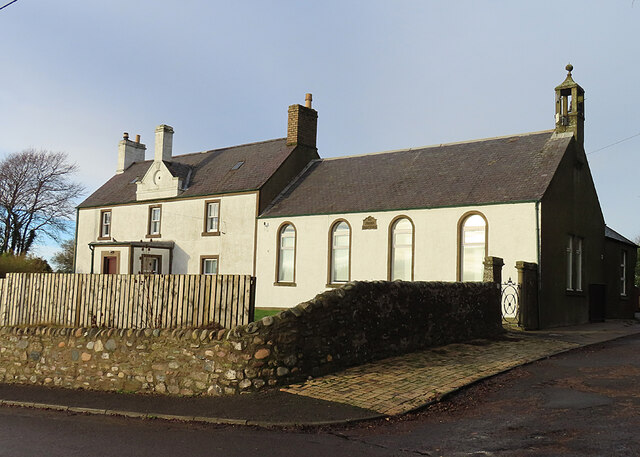
Panbride
Panbride is a village and civil parish in the council area of Angus, Scotland. It is situated 0.5 miles (1 km) north-east of Carnoustie and 6 miles (10...

Clayholes
Clayholes is a small hamlet in Angus, Scotland. It lies approximately 0.5 kilometres (0.31 mi) north of Carnoustie on the unclassified Balmachie road,...

Balmirmer
Balmirmer is a hamlet in the council area of Angus, Scotland. It is situated 2 miles (3 km) north-east of Carnoustie and 4 miles (6 km) west of Arbroath...
Carnoustie High School
Carnoustie High School is a comprehensive secondary school in Carnoustie, Angus, Scotland. Situated to the north of the town, the school serves Carnoustie...

Battle of Barry
The Battle of Barry is a legendary battle in which the Scots, purportedly led by Malcolm II, defeated a Danish invasion force in 1010 AD. Its supposed...
Nearby Amenities
Located within 500m of 56.526045,-2.711058Have you been to Muirdrum?
Leave your review of Muirdrum below (or comments, questions and feedback).