Allandale

Settlement in Stirlingshire

Scotland

Allandale

Minor road at Easter Banknock
Minor road at Easter Banknock Credit: Steven Brown

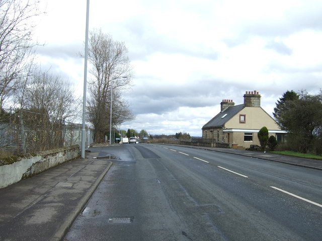
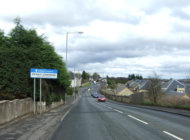
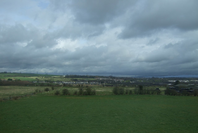
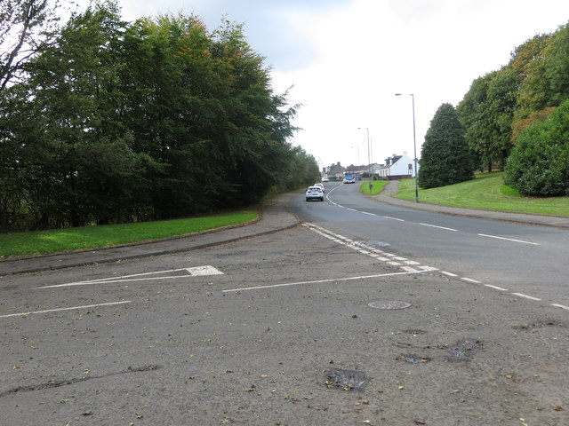
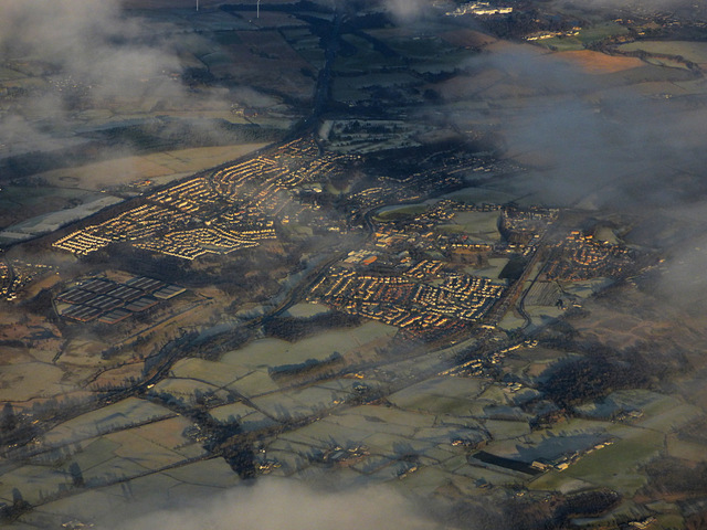
Allandale is a small village located in the historic county of Stirlingshire, Scotland. Situated approximately 10 miles north-west of Falkirk and 8 miles east of Stirling, it is nestled within the picturesque countryside of central Scotland. The village is well-connected to the nearby towns and cities via the A904 and A905 roads.

Despite its small size, Allandale has a rich history dating back to the 18th century, when it was primarily an agricultural community. The village grew in the 19th century with the establishment of coal mines in the area, which brought an influx of workers and led to the development of housing and amenities.

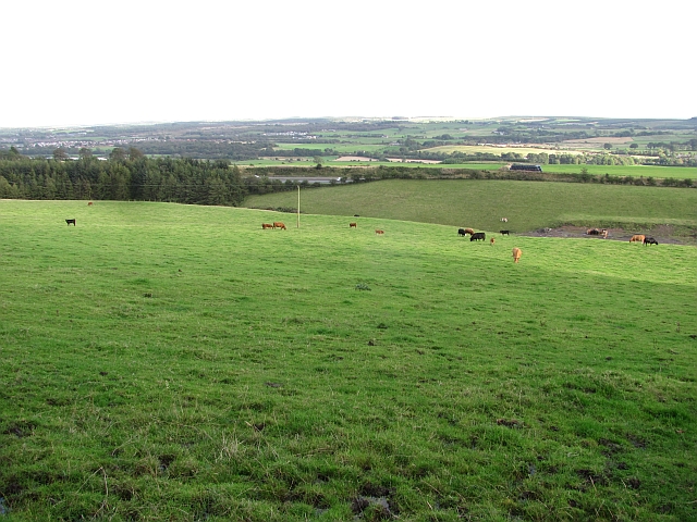
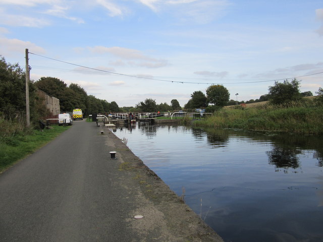
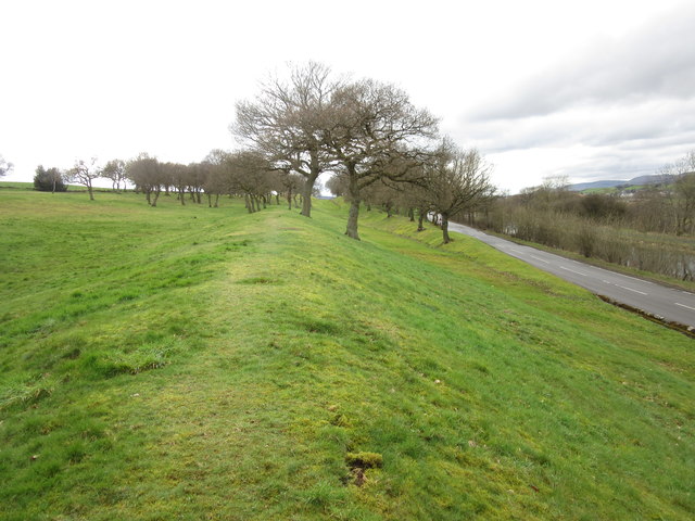
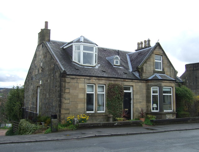
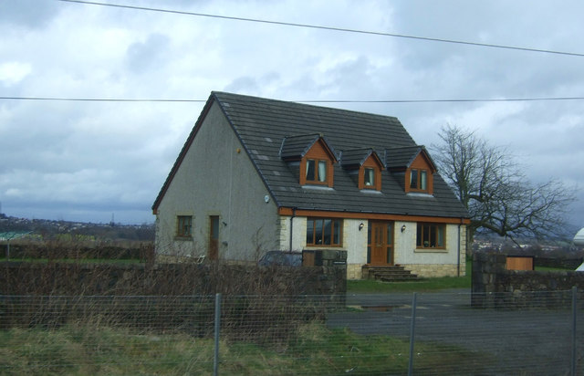
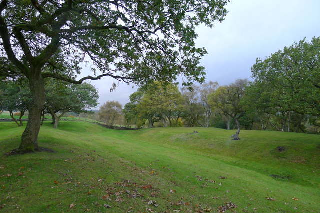
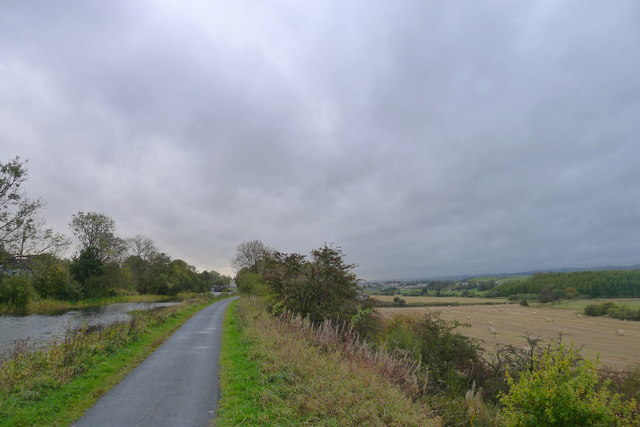
Today, Allandale remains a peaceful and close-knit community with a population of around 500 residents. The village retains some of its historical charm, with a number of traditional stone-built cottages still standing. The surrounding countryside offers beautiful views and ample opportunities for outdoor activities such as walking, cycling, and fishing.

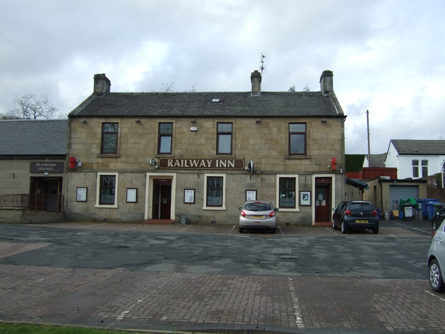
Allandale benefits from a range of local amenities, including a primary school, a village hall, and a pub. Residents also have access to nearby services and facilities in the larger towns of Falkirk and Stirling, including shopping centers, healthcare facilities, and leisure activities.

Overall, Allandale offers a tranquil and picturesque living environment with a strong sense of community, making it an attractive place to reside for those seeking a peaceful countryside lifestyle.

If you have any feedback on the listing, please let us know in the comments section below.
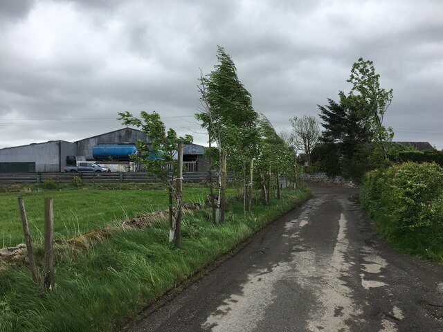
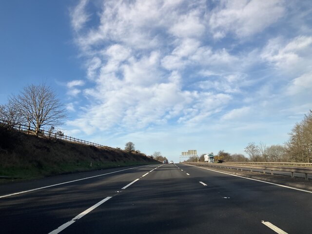
Allandale Images

Images are sourced within 2km of 55.985948/-3.92634 or Grid Reference NS7978. Thanks to Geograph Open Source API. All images are credited.

Minor road at Easter Banknock
M80 - southbound
M80 - southbound
Cattle grazing at Banknock Fields above the M80.
Cattle grazing at Banknock
Fields above the M80.
Underwood Lock, Forth and Clyde Canal
Antonine Wall, Seabegs Wood One of the best preserved sections of the Antonine Wall, the ditch and rampart remains clearly defined.
Antonine Wall, Seabegs Wood
One of the best preserved sections of the Antonine Wall, the ditch and rampart remains clearly defined.
House on Glasgow Road (A803)
Church of Christ, Longcroft On Glasgow Road (A803).
Church of Christ, Longcroft
On Glasgow Road (A803).
Sign on the Church of Christ, Longcroft
Glasgow Road (A803), Parkfoot Looking north east.
Glasgow Road (A803), Parkfoot
Looking north east.
Entering Dennyloanhead On Glasgow Road (A803).
Entering Dennyloanhead
On Glasgow Road (A803).
The Railway Inn, Dennyloanhead On Glasgow Road (A803).
The Railway Inn, Dennyloanhead
On Glasgow Road (A803).
House, Greenhill
House, Greenhill
Grazing, Skipperton
Grazing, Skipperton
Glasgow Road (A872) at its junction with an Industrial Estate road in Dennyloanhead Looking south-westward.
Glasgow Road (A872) at its junction with an Industrial Estate road in Dennyloanhead
Looking south-westward.
Bonnybridge from the air Greenhill railway junction, where the line to Stirling and Perth joins the Glasgow to Edinburgh line, can be seen in the lower right corner. The Forth & Clyde canal and the M80 motorway can also be seen.
Bonnybridge from the air
Greenhill railway junction, where the line to Stirling and Perth joins the Glasgow to Edinburgh line, can be seen in the lower right corner. The Forth & Clyde canal and the M80 motorway can also be seen.
Tunnel beneath the Forth and Clyde Canal The tunnel carries a minor stream to join Bonny Water, and a footpath (duck!) to the towpath on the other side of the canal. The steps lead up to the Antonine Wall at Seabegs Wood
Tunnel beneath the Forth and Clyde Canal
The tunnel carries a minor stream to join Bonny Water, and a footpath (duck!) to the towpath on the other side of the canal. The steps lead up to the Antonine Wall at Seabegs Wood
Site of the Antonine Wall and ditch at Seabegs Wood
The John Muir Way alongside the Forth and Clyde Canal With the valley of Bonny Water to the right.
The 134 mile John Muir Way, running coast to coast across Scotland's Central Belt, celebrates the Dunbar-born Scotsman who emigrated to America aged 11. Here his love of nature led him to become a leading advocate for the preservation of wilderness areas. He is often referred to as 'the father of national parks'
The John Muir Way alongside the Forth and Clyde Canal
With the valley of Bonny Water to the right. The 134 mile John Muir Way, running coast to coast across Scotland's Central Belt, celebrates the Dunbar-born Scotsman who emigrated to America aged 11. Here his love of nature led him to become a leading advocate for the preservation of wilderness areas. He is often referred to as 'the father of national parks'
Show me another place!

Allandale is located at Grid Ref: NS7978 (Lat: 55.985948, Lng: -3.92634)

Unitary Authority: Falkirk

Police Authority: Forth Valley

What 3 Words

///repelled.slimy.second. Near Dennyloanhead, Falkirk

Nearby Locations

Haggs Allandale

Related Wikis

Allandale, Falkirk

Allandale is a small village in the Falkirk council area of Scotland. Allandale is located 1.6 miles (2.6 km) south-west of Bonnybridge, 3.5 miles (5.6...

Longcroft, Falkirk

Longcroft is a small village in the Falkirk council area in Scotland. The village is located 5.7 miles (9.2 km) west-southwest of Falkirk along a stretch...

Dennyloanhead railway station

Dennyloanhead railway station served the village of Longcroft, Falkirk, Scotland from 1888 to 1935 on the Kilsyth and Bonnybridge Railway. == History... ==

Haggs

Haggs is a small village in the Falkirk council area of Scotland. The village is situated 2.1 miles (3.4 km) south-west of Bonnybridge, 4.6 miles (7.4...

Nearby Amenities

Located within 500m of 55.985948,-3.92634
Lock 18
Waterway: lock_gate
Lat/Long: 55.9866812/-3.9313318
Lock 18
Waterway: lock_gate
Lat/Long: 55.9867071/-3.930965
Bus Stop
Allandale, B816 at Dundas Cottages
Bus: yes
Naptan AtcoCode: 66903400034
Naptan NaptanCode: 32526242
Public Transport: platform
Shelter: no
Lat/Long: 55.9846327/-3.9331769
Bus Stop
Allandale, B816 at Post Office
Bus: yes
Naptan AtcoCode: 66903400006
Naptan NaptanCode: 32523896
Public Transport: platform
Shelter: yes
Lat/Long: 55.9864511/-3.9241068
Bus Stop
Allandale, B816 at Bowling Green
Bus: yes
Naptan AtcoCode: 66903400038
Naptan NaptanCode: 32526292
Public Transport: platform
Shelter: no
Lat/Long: 55.9854518/-3.9292353
Bus Stop
Allandale, B816 opp Bowling Green
Bus: yes
Naptan AtcoCode: 66903400039
Naptan NaptanCode: 32526324
Public Transport: platform
Shelter: no
Lat/Long: 55.9853702/-3.9292492
Bus Stop
Allandale, B816 opp Post Office
Bus: yes
Naptan AtcoCode: 66903400005
Naptan NaptanCode: 32523792
Public Transport: platform
Shelter: yes
Lat/Long: 55.986176/-3.9246508
Allandale
Place: village
Wikidata: Q4731079
Wikipedia: en:Allandale, Falkirk
Lat/Long: 55.9865592/-3.9228439
Power: pole
Lat/Long: 55.9858145/-3.926047
Power: pole
Lat/Long: 55.9854509/-3.9255346
Power: pole
Lat/Long: 55.9849836/-3.9248471
Material: wood
Power: pole
Lat/Long: 55.9844942/-3.9242326
Material: wood
Power: pole
Lat/Long: 55.9839977/-3.9236159
Material: wood
Power: pole
Lat/Long: 55.9834908/-3.9229868
Material: wood
Power: pole
Lat/Long: 55.9829325/-3.9224556
Material: wood
Power: pole
Lat/Long: 55.9824897/-3.9221452
Bus Stop
Allandale, B816 at Football Park
Bus: yes
Naptan AtcoCode: 66903400035
Naptan NaptanCode: 32526324
Public Transport: platform
Lat/Long: 55.9858568/-3.9268207
Bus Stop
Allandale, B816 opp Football Park
Bus: yes
Naptan AtcoCode: 66903400036
Naptan NaptanCode: 32526267
Public Transport: platform
Shelter: no
Lat/Long: 55.9857743/-3.9267912
Bus Stop
Allandale, B816 opp 77 Allandale Cottages
Bus: yes
Naptan AtcoCode: 66903400007
Naptan NaptanCode: 32523987
Public Transport: platform
Shelter: no
Lat/Long: 55.9869644/-3.9210619
Bus Stop
Allandale, B816 at 77 Allandale Cottages
Bus: yes
Naptan AtcoCode: 66903400008
Naptan NaptanCode: 32524298
Public Transport: platform
Shelter: no
Lat/Long: 55.9871038/-3.9207541
The data included in this document is from www.openstreetmap.org. The data is made available under ODbL.

Have you been to Allandale?

Leave your review of Allandale below (or comments, questions and feedback).