Allanbank

Settlement in Berwickshire

Scotland

Allanbank

Market Place, Lauder The excellent Black Bull Hotel in the background.  If visiting, check out the beautiful natural wood bar furniture, made by the proprietor.
Market Place, Lauder Credit: Gordon Brown

Allanbank is a small hamlet located in the county of Berwickshire, Scotland. It is situated approximately 4 miles northeast of the town of Duns and is surrounded by picturesque countryside. The hamlet is part of the Scottish Borders Council area and falls within the Scottish Borders parliamentary constituency.

Historically, Allanbank was primarily an agricultural area, with farming being the main occupation of the residents. However, in recent years, there has been a decline in the number of active farms in the area, leading to a shift towards more diverse economic activities.

Despite its small size, Allanbank has a close-knit community and a friendly atmosphere. The hamlet has a few amenities, including a local pub and a small village hall, which serves as a venue for community events and gatherings. The residents often participate in various social activities, fostering a sense of belonging and community spirit.

The surrounding area offers plenty of opportunities for outdoor activities and exploration. Nature enthusiasts can take advantage of the beautiful walking trails and cycling routes that crisscross the countryside, providing stunning views of the rolling hills and lush green fields.

Allanbank is well-connected to nearby towns and cities via a network of roads, making it easily accessible for both residents and visitors. The hamlet's peaceful and idyllic setting, combined with its sense of community, makes it an attractive place to live for those seeking a quiet and rural lifestyle.

If you have any feedback on the listing, please let us know in the comments section below.
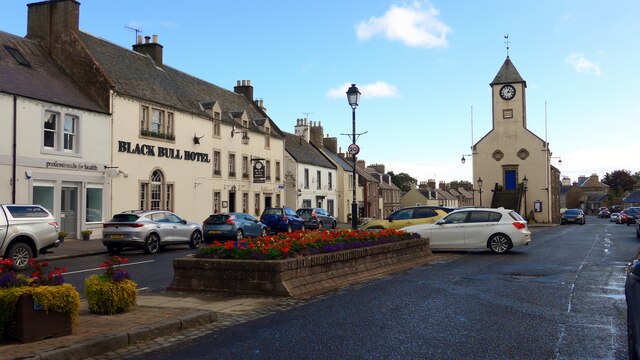
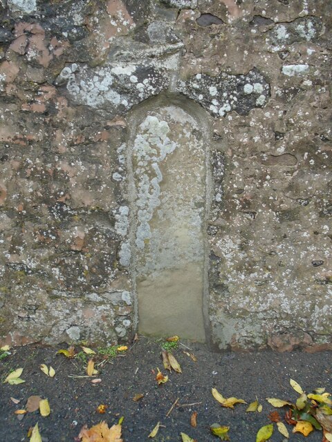
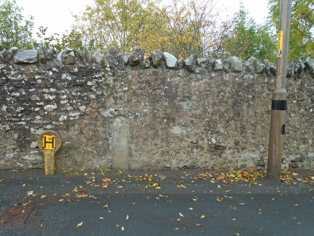
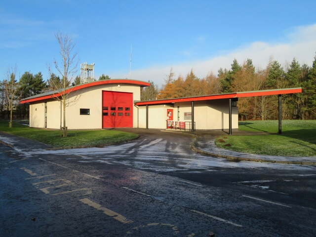
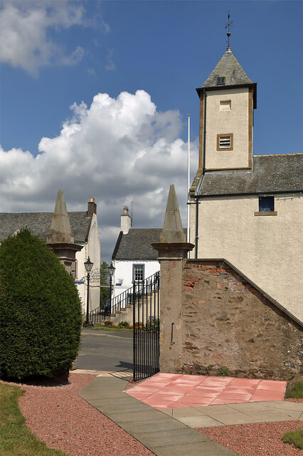
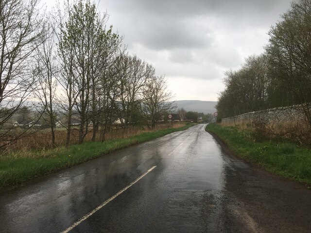
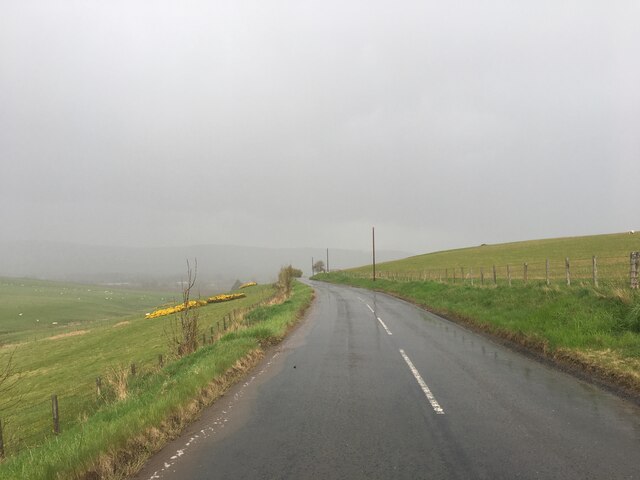
Allanbank Images

Images are sourced within 2km of 55.71404/-2.7655473 or Grid Reference NT5247. Thanks to Geograph Open Source API. All images are credited.

Market Place, Lauder The excellent Black Bull Hotel in the background.  If visiting, check out the beautiful natural wood bar furniture, made by the proprietor.
Market Place, Lauder
The excellent Black Bull Hotel in the background. If visiting, check out the beautiful natural wood bar furniture, made by the proprietor.
Old milestone Set into the stone wall on the east side of the A68 at the south end of Lauder.   Plenty of lichens.   A painted legend may once have read Edinburgh 26 Kelso 17.   It is marked on the pre 1900 6" OS map but not on current maps.  It is near lamppost AE1609.
Old milestone
Set into the stone wall on the east side of the A68 at the south end of Lauder. Plenty of lichens. A painted legend may once have read Edinburgh 26 Kelso 17. It is marked on the pre 1900 6" OS map but not on current maps. It is near lamppost AE1609.
Old milestone A view of the old milestone set in the high, old stone wall at the south end of Lauder showing it between the Hydrant post and the street lamp.   This area of The Borders was in Berwickshire prior to the formation of the larger administration areas in the 1970s.
Old milestone
A view of the old milestone set in the high, old stone wall at the south end of Lauder showing it between the Hydrant post and the street lamp. This area of The Borders was in Berwickshire prior to the formation of the larger administration areas in the 1970s.
Lauder Community Fire Station On the northern Edge of the village.
Lauder Community Fire Station
On the northern Edge of the village.
The entrance gate to Lauder Old Parish Churchyard This is a view to the entrance at Market Place from the churchyard with the town hall clock tower on the right.
The entrance gate to Lauder Old Parish Churchyard
This is a view to the entrance at Market Place from the churchyard with the town hall clock tower on the right.
A68 south of Lauder
A68 south of Lauder
B6362 towards Lauder
Lauder Old Parish Church The church was built in 1673 to a Greek cross plan with a central tower over four pointed arches, becoming octagonal above roof level. There are some fine symbolic gravestones in the churchyard.
Lauder Old Parish Church
The church was built in 1673 to a Greek cross plan with a central tower over four pointed arches, becoming octagonal above roof level. There are some fine symbolic gravestones in the churchyard.
A symbolic gravestone at Lauder Old Parish Churchyard The winged soul with a fancy hair-do at the top of the stone is a symbol of immortality representing the journey of the human soul towards heaven. The femur bone below is a symbol of mortality. The stone has sunk into the ground over the years and there will likely be other hidden mortality symbols such as an hourglass and a turf cutter and spade. For a wider view of the stone in the churchyard, see <a href="https://www.geograph.org.uk/photo/7533946">NT5347 : Lauder Old Parish Church</a>.
A symbolic gravestone at Lauder Old Parish Churchyard
The winged soul with a fancy hair-do at the top of the stone is a symbol of immortality representing the journey of the human soul towards heaven. The femur bone below is a symbol of mortality. The stone has sunk into the ground over the years and there will likely be other hidden mortality symbols such as an hourglass and a turf cutter and spade. For a wider view of the stone in the churchyard, see NT5347 : Lauder Old Parish Church.
The stubble remains of a harvested field near Lauder Barns Looking north-westward.
The stubble remains of a harvested field near Lauder Barns
Looking north-westward.
Lauder Town Hall Looking towards the Town Hall, formerly the Tolbooth, which accommodated the local jail.
Lauder Town Hall
Looking towards the Town Hall, formerly the Tolbooth, which accommodated the local jail.
The Eagle Hotel, Lauder Located on the A68 which runs through the town.  Viewed on a fine day in early May.
The Eagle Hotel, Lauder
Located on the A68 which runs through the town. Viewed on a fine day in early May.
Historic car show at Thirlestane Castle, Lauder Cars from 1904 to the present day on display at a show organised by the Borders Vintage Automobile Club. Morgan cars are in the foreground.
Historic car show at Thirlestane Castle, Lauder
Cars from 1904 to the present day on display at a show organised by the Borders Vintage Automobile Club. Morgan cars are in the foreground.
AA man, Thirlestane Castle car show AA motorcycle combination with the rider in immaculate period costume - a reminder of the roads in the 1950s.
AA man, Thirlestane Castle car show
AA motorcycle combination with the rider in immaculate period costume - a reminder of the roads in the 1950s.
Vintage Rolls Royce at Thirlestane Castle car show A magnificent 1929 Rolls Royce Phantom II at the show organised by the Borders Vintage Automobile Club. The car was later one of several unusual vehicles giving 12-mile rides on local roads to passengers in return for a donation to children's charities.
Vintage Rolls Royce at Thirlestane Castle car show
A magnificent 1929 Rolls Royce Phantom II at the show organised by the Borders Vintage Automobile Club. The car was later one of several unusual vehicles giving 12-mile rides on local roads to passengers in return for a donation to children's charities.
Show me another place!

Allanbank is located at Grid Ref: NT5247 (Lat: 55.71404, Lng: -2.7655473)

Unitary Authority: The Scottish Borders

Police Authority: The Lothians and Scottish Borders

What 3 Words

///meanwhile.suitcase.blues. Near Lauder, Scottish Borders

Nearby Locations

Allanbank

Related Wikis

Lauder railway station

Lauder railway station served the town of Lauder, Berwickshire, Scotland, from 1901 to 1958. It was situated on the Lauder Light Railway. == History... ==

Lauder

The former Royal Burgh of Lauder (, Scottish Gaelic: Labhdar) is a town in the Scottish Borders in the historic county of Berwickshire. On the Southern...

Lauder Town Hall

Lauder Town Hall is a municipal structure in the Market Place in Lauder, Scottish Borders, Scotland. The structure, which is used as the local registrar...

Thirlestane Castle

Thirlestane Castle is a castle set in extensive parklands near Lauder in the Borders of Scotland. The site is aptly named Castle Hill, as it stands upon...

Lauderdale

Lauderdale is the valley of the Leader Water (a tributary of the Tweed) in the Scottish Borders. It contains the town of Lauder, as well as Earlston. The...

Whitslaid Tower

Whitslaid Tower was an ancient Berwickshire seat of the Lauder family for over 300 years. It is today a ruin high above the eastern bank of the Leader...

Addinston

Addinston is a farming village, off the A697, close to the Carfraemill roundabout, with two hill forts and settlements, in Lauderdale in the Scottish...

Boon Farm

Boon is a farm and former barony located near Lauder, Scotland. == History == === Name origins === Boon (aka "Boune" or "Bounn"), derives from the Breton...

Nearby Amenities

Located within 500m of 55.71404,-2.7655473
Bench
Backrest: yes
Material: wood
Seats: 3
Lat/Long: 55.7122503/-2.7604812
Bench
Backrest: yes
Material: wood
Seats: 3
Lat/Long: 55.7139038/-2.7579548
Lauderhill
Place: isolated_dwelling
Lat/Long: 55.7177459/-2.7691424
Power: pole
Lat/Long: 55.7109963/-2.7696919
Power: pole
Lat/Long: 55.7158587/-2.7584615
Power: pole
Lat/Long: 55.7160626/-2.7596873
Power: pole
Lat/Long: 55.7162417/-2.7608876
Power: pole
Lat/Long: 55.7168249/-2.7616104
Power: pole
Lat/Long: 55.7174141/-2.7623548
Power: pole
Lat/Long: 55.7179149/-2.7629918
Power: pole
Lat/Long: 55.7103587/-2.7681309
Power: pole
Lat/Long: 55.7110628/-2.7679405
Power: pole
Lat/Long: 55.7118289/-2.7677044
Power: pole
Lat/Long: 55.7125497/-2.7674738
Power: pole
Lat/Long: 55.713281/-2.7672672
Power: pole
Lat/Long: 55.7140123/-2.7670446
Power: pole
Lat/Long: 55.7147957/-2.7667911
Power: pole
Lat/Long: 55.7153865/-2.7661018
Power: pole
Lat/Long: 55.7114512/-2.7687103
Power: pole
Lat/Long: 55.712113/-2.7684367
Power: pole
Lat/Long: 55.7129259/-2.7681255
Power: pole
Lat/Long: 55.7137252/-2.7678144
Power: pole
Lat/Long: 55.714514/-2.7675194
Power: pole
Lat/Long: 55.7153389/-2.7671868
Power: pole
Lat/Long: 55.7161344/-2.7668796
Power: pole
Lat/Long: 55.7170424/-2.766531
Power: pole
Lat/Long: 55.7175682/-2.7654956
Power: pole
Lat/Long: 55.7181053/-2.7644616
Power: pole
Lat/Long: 55.7160241/-2.7653588
Power: pole
Lat/Long: 55.7166473/-2.7646373
Power: pole
Lat/Long: 55.7172358/-2.7639601
Power: pole
Lat/Long: 55.7179361/-2.763142
Power: pole
Lat/Long: 55.7178771/-2.7655668
Power: pole
Lat/Long: 55.7177868/-2.7667961
Power: pole
Lat/Long: 55.7177065/-2.7679388
Power: pole
Lat/Long: 55.7176549/-2.7688627
Barrier: kissing_gate
Lat/Long: 55.7135031/-2.7642656
Information: yes
Tourism: information
Lat/Long: 55.7134943/-2.7642966
The data included in this document is from www.openstreetmap.org. The data is made available under ODbL.

Have you been to Allanbank?

Leave your review of Allanbank below (or comments, questions and feedback).