Haggs
Settlement in Stirlingshire
Scotland
Haggs
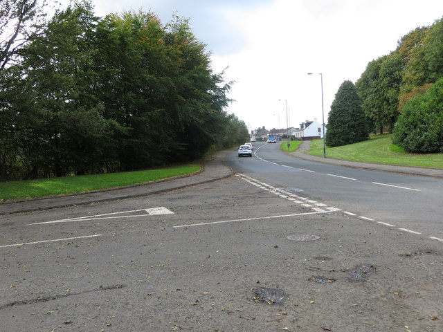
Haggs is a small village located in the county of Stirlingshire, Scotland. Situated on the A80 road, it lies approximately 10 miles south-east of Stirling and 30 miles north-west of the capital city, Edinburgh.
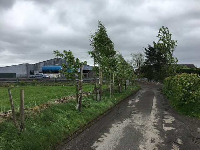
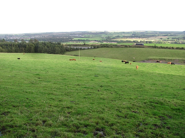
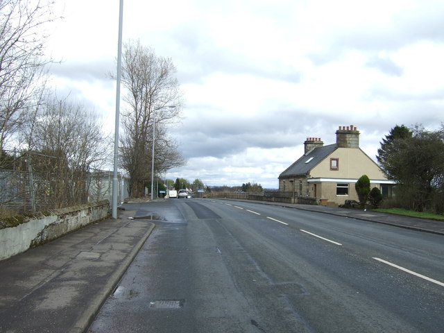
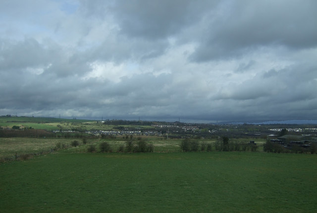
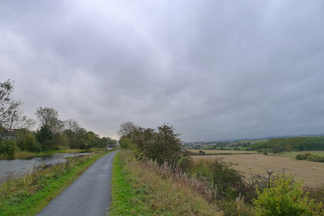
The village is nestled amidst the picturesque countryside, surrounded by rolling hills and lush green fields. Haggs is known for its peaceful and tranquil atmosphere, making it an ideal destination for those seeking a quiet escape from the hustle and bustle of city life.
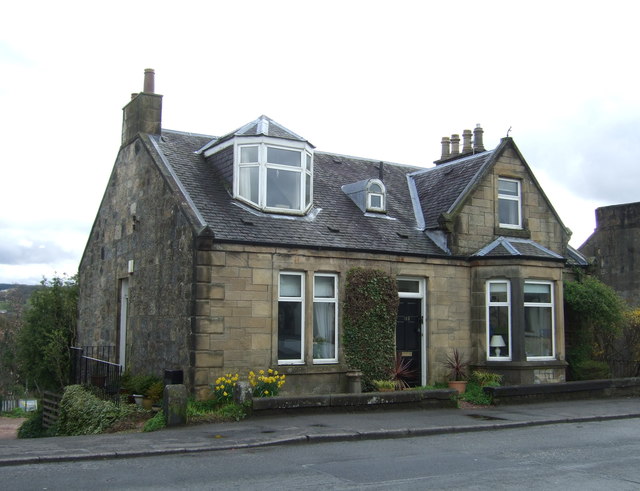
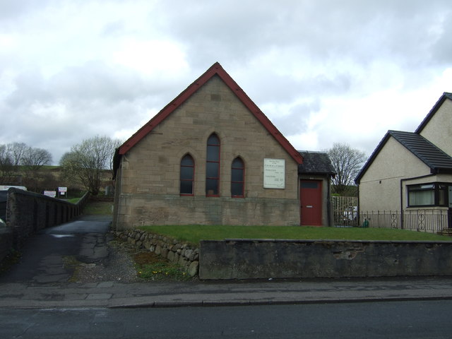
Despite its small size, Haggs has a strong community spirit, with a close-knit population that takes pride in maintaining the village's charm and character. The village is home to a range of amenities, including a local convenience store, a primary school, and a church.
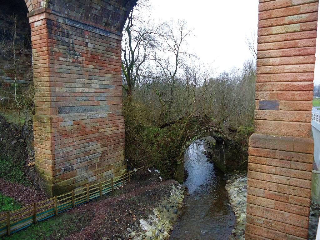
Nature enthusiasts will find plenty to explore in and around Haggs. The nearby Forth and Clyde Canal offers opportunities for scenic walks and cycling, while the surrounding area boasts several nature reserves and parks, such as the Carron Dams Local Nature Reserve and the Falkirk Wheel.
For history buffs, Haggs is within easy reach of several notable landmarks. The iconic Stirling Castle, a historically significant fortress, is just a short drive away, as is the Antonine Wall, a UNESCO World Heritage Site that once marked the northernmost frontier of the Roman Empire.
Overall, Haggs provides a charming and peaceful retreat for visitors and residents alike, with its beautiful surroundings, strong community spirit, and easy access to both natural wonders and historical sites.
If you have any feedback on the listing, please let us know in the comments section below.
Haggs Images
Images are sourced within 2km of 55.98869/-3.939976 or Grid Reference NS7978. Thanks to Geograph Open Source API. All images are credited.


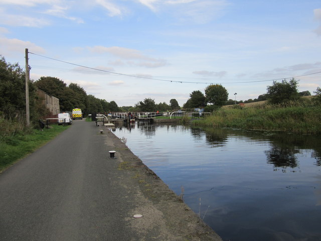
![Underwood Lockhouse From <span class="nowrap"><a title="https://www.blipfoto.com/entry/3898131" rel="nofollow ugc noopener" href="https://www.blipfoto.com/entry/3898131">Link</a><img style="margin-left:2px;" alt="External link" title="External link - shift click to open in new window" src="https://s1.geograph.org.uk/img/external.png" width="10" height="10"/></span>
&quot;Underwood Lockhouse … was originally stables for horses on the Forth &amp; Clyde Canal [and] also served as a place where people could have a meal, a drink or lodgings during their journey. All that ended, of course, when the canal fell into disuse. Following the re-opening of the [canal] to leisure traffic it was redeveloped as a restaurant ... However … a major fire in July 2013 gutted the building, which still lies in ruins today.&quot;](https://s1.geograph.org.uk/geophotos/05/94/97/5949717_70a258f7.jpg)

Haggs is located at Grid Ref: NS7978 (Lat: 55.98869, Lng: -3.939976)
Unitary Authority: Falkirk
Police Authority: Forth Valley
What 3 Words
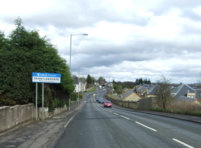
///fatigued.topples.scouting. Near Banknock, Falkirk
Related Wikis

Haggs
Haggs is a small village in the Falkirk council area of Scotland. The village is situated 2.1 miles (3.4 km) south-west of Bonnybridge, 4.6 miles (7.4...

Longcroft, Falkirk
Longcroft is a small village in the Falkirk council area in Scotland. The village is located 5.7 miles (9.2 km) west-southwest of Falkirk along a stretch...
Red Burn
The Red Burn is one of two main streams which flow out of Cumbernauld. The Scottish New Town’s name derives from the Gaelic for "the meeting of the waters...

Banknock
Banknock (Scottish Gaelic: Baile nan Cnoc) is a village within the Falkirk council area in Central Scotland. The village is 6.7 miles (10.8 km) west-southwest...

Castlecary railway station
Castlecary railway station served the village of Castlecary, North Lanarkshire, Scotland from 1842 to 1967 on the Edinburgh and Glasgow Railway. ��2�...
Dennyloanhead railway station
Dennyloanhead railway station served the village of Longcroft, Falkirk, Scotland from 1888 to 1935 on the Kilsyth and Bonnybridge Railway. == History... ==

Allandale, Falkirk
Allandale is a small village in the Falkirk council area of Scotland. Allandale is located 1.6 miles (2.6 km) south-west of Bonnybridge, 3.5 miles (5.6...

Banknock railway station
Banknock railway station served the village of Banknock in Scotland. The station was served by trains on the lines from Kilsyth New to Bonnybridge. �...
Nearby Amenities
Located within 500m of 55.98869,-3.939976Have you been to Haggs?
Leave your review of Haggs below (or comments, questions and feedback).