Sturton le Steeple
Civil Parish in Nottinghamshire Bassetlaw
England
Sturton le Steeple
Sturton le Steeple is a small civil parish located in the county of Nottinghamshire, England. Situated approximately 13 miles west of the city of Lincoln, the parish covers an area of around 3 square miles.
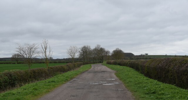
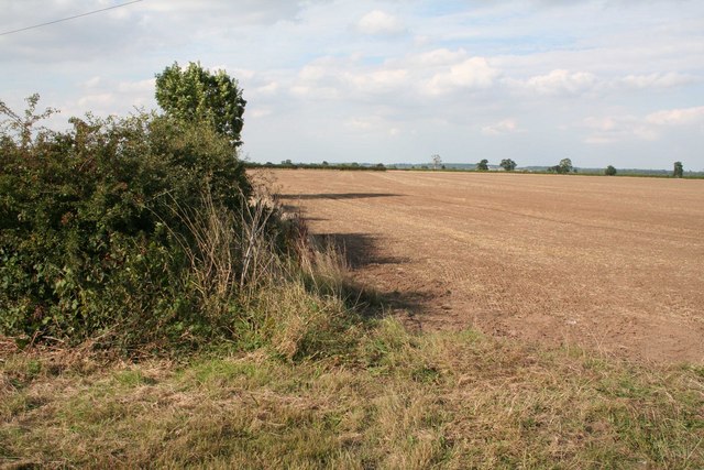
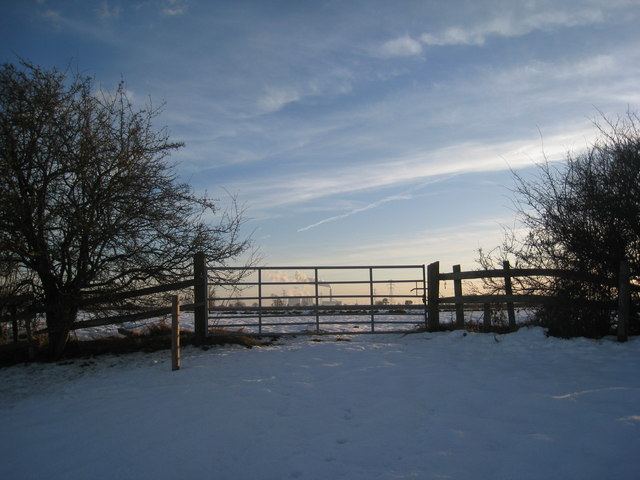
The village of Sturton le Steeple is nestled on a gentle slope near the eastern bank of the River Trent. It is a quaint and picturesque village, known for its peaceful and rural setting. The parish is predominantly agricultural, with fertile farmland surrounding the village.
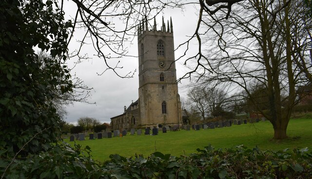
Sturton le Steeple is home to a close-knit community, with a population of around 400 residents. The village has a rich history, dating back to at least the Domesday Book of 1086, where it is mentioned as "Stertune." The name "le Steeple" refers to the iconic parish church, St. Peter and St. Paul, which dominates the village skyline.
The church, dating back to the 12th century, is a significant architectural landmark. It features a striking spire that can be seen from miles around. The village also boasts a few other historic buildings, including traditional cottages and farmhouses that add to its charm.
Despite its small size, Sturton le Steeple offers a range of amenities to its residents. These include a primary school, a village hall, and a local pub, providing a focal point for social gatherings. The parish also benefits from its proximity to nearby towns and cities, with access to a wider range of services and facilities.
Overall, Sturton le Steeple is a tranquil and idyllic village that offers a peaceful countryside lifestyle, steeped in history and surrounded by stunning natural beauty.
If you have any feedback on the listing, please let us know in the comments section below.
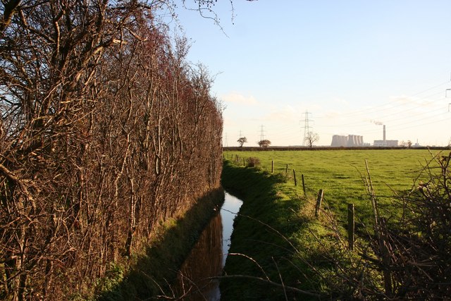
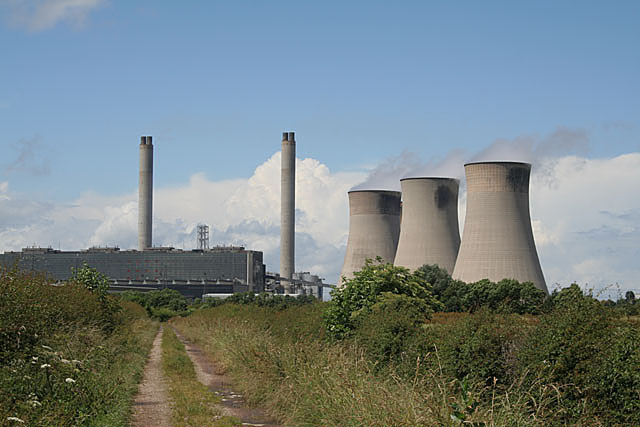
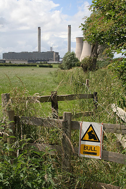
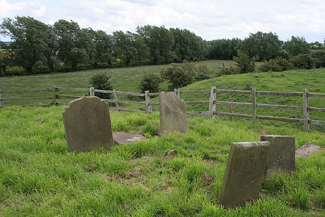
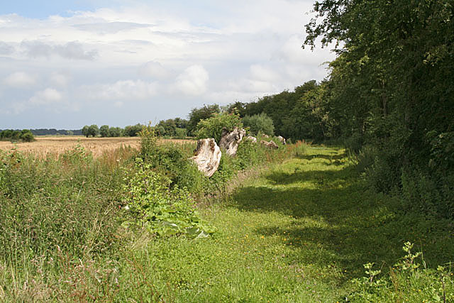
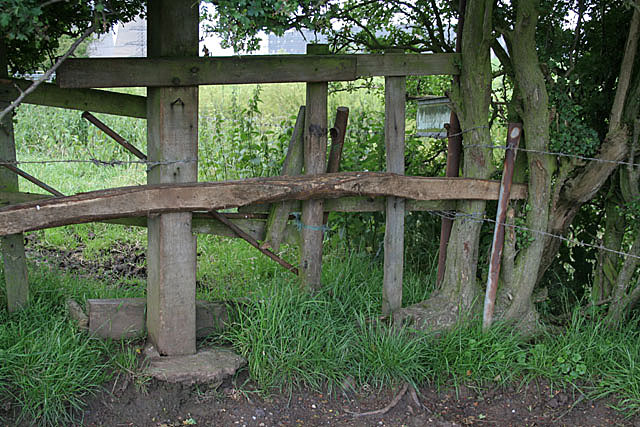
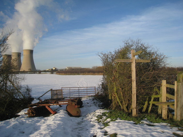
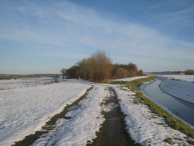
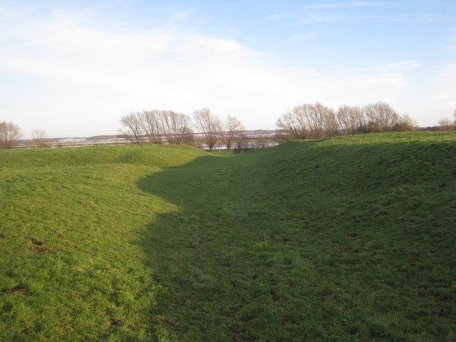
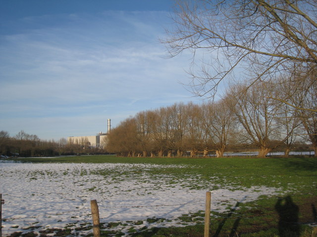
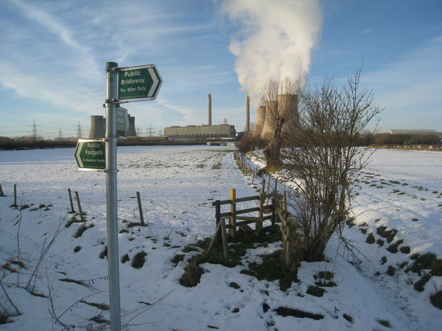
Sturton le Steeple Images
Images are sourced within 2km of 53.346504/-0.810336 or Grid Reference SK7983. Thanks to Geograph Open Source API. All images are credited.

Sturton le Steeple is located at Grid Ref: SK7983 (Lat: 53.346504, Lng: -0.810336)
Administrative County: Nottinghamshire
District: Bassetlaw
Police Authority: Nottinghamshire
What 3 Words
///sisters.tortoises.princely. Near Gainsborough, Lincolnshire
Nearby Locations
Related Wikis
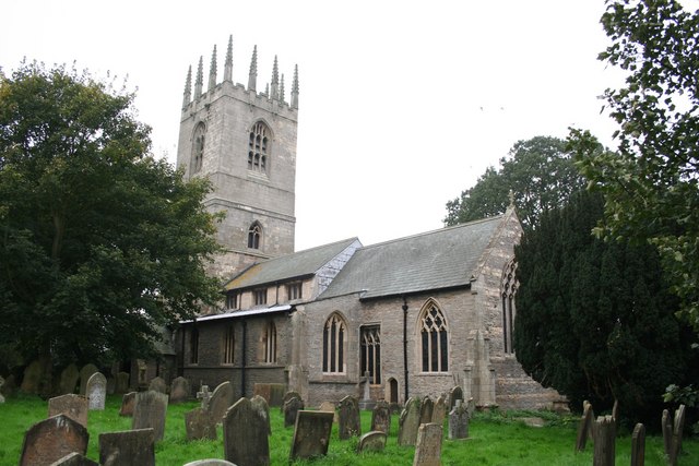
St Peter and St Paul's Church, Sturton-le-Steeple
St Peter and St Paul's Church, Sturton-le-Steeple is a Grade II* listed parish church in the Church of England in Sturton le Steeple, near Retford in Nottinghamshire...

Sturton le Steeple
Sturton le Steeple is a village located 6 miles (9.7 km) east of Retford, Nottinghamshire, England. According to the 2001 census it had a population (including...
Fenton, Nottinghamshire
Fenton is a hamlet in Nottinghamshire, England. It is about 9 kilometres (5.6 mi) east of Retford. Population details are included in the civil parish...
Spherical Tokamak for Energy Production
Spherical Tokamak for Energy Production (STEP) is a spherical tokamak fusion plant concept proposed by the United Kingdom Atomic Energy Authority (UKAEA...
Nearby Amenities
Located within 500m of 53.346504,-0.810336Have you been to Sturton le Steeple?
Leave your review of Sturton le Steeple below (or comments, questions and feedback).