Stuston
Civil Parish in Suffolk Mid Suffolk
England
Stuston

Stuston is a civil parish located in the county of Suffolk, England. It is situated in the Mid Suffolk district and is approximately 2.5 miles southwest of Diss, a market town on the Norfolk-Suffolk border. The parish covers an area of around 4 square miles and is bordered by the parishes of Brome and Oakley to the north, and Fersfield and Roydon to the south.
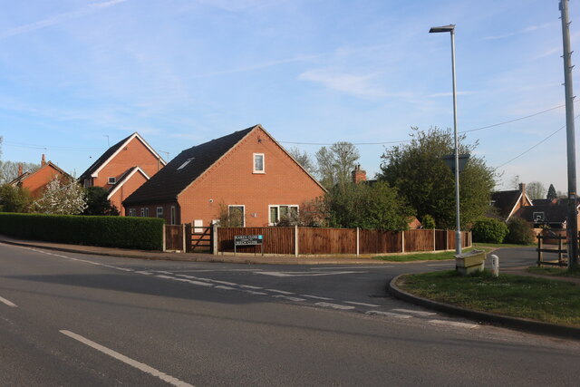
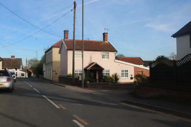
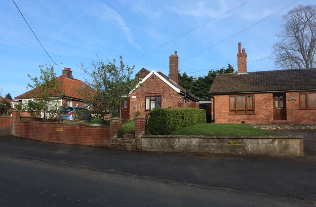
Stuston has a population of around 250 residents, according to the latest census data. The village is primarily residential, with a mix of housing styles ranging from traditional cottages to modern developments. The rural setting provides a tranquil environment for its inhabitants.
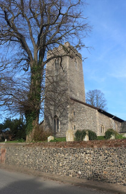
The parish is known for its beautiful countryside, with rolling hills and agricultural fields dominating the landscape. The area is dotted with small woodlands, offering pleasant walking routes for nature enthusiasts. Stuston is also home to several farms, contributing to the region's agricultural economy.
In terms of amenities, Stuston has a small village hall which serves as a hub for community activities and events. There are no shops or schools within the parish boundaries, but these can be found in the nearby towns of Diss and Eye.
Overall, Stuston offers a peaceful and picturesque setting for its residents, with easy access to larger towns for everyday necessities. Its rural charm and close-knit community make it an attractive place to live for those seeking a quieter lifestyle in the Suffolk countryside.
If you have any feedback on the listing, please let us know in the comments section below.
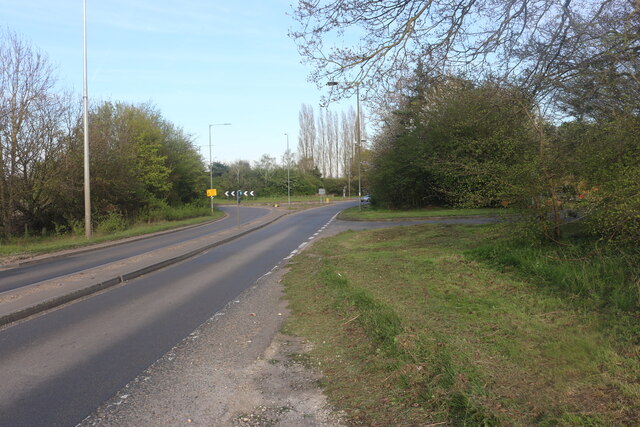
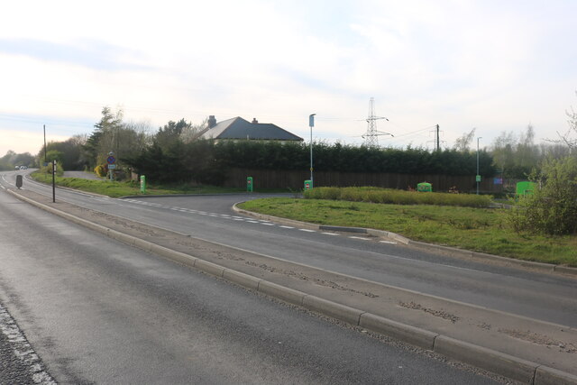
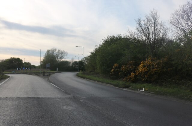
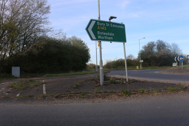
Stuston Images
Images are sourced within 2km of 52.358683/1.132741 or Grid Reference TM1378. Thanks to Geograph Open Source API. All images are credited.


Stuston is located at Grid Ref: TM1378 (Lat: 52.358683, Lng: 1.132741)
Administrative County: Suffolk
District: Mid Suffolk
Police Authority: Suffolk
What 3 Words
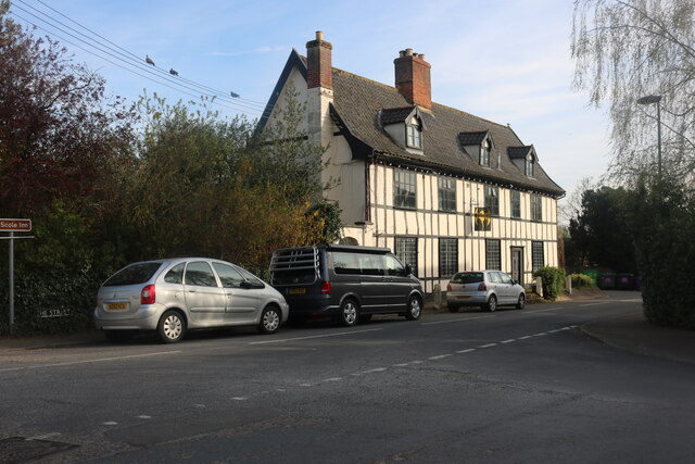
///backdrop.swatted.collapsed. Near Scole, Norfolk
Related Wikis
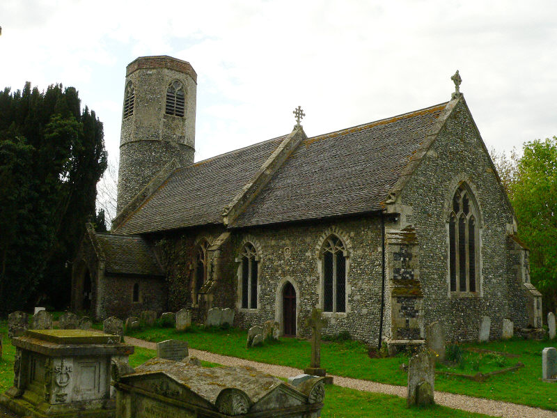
Stuston
Stuston is a small village and civil parish in the Mid-Suffolk district of the county of Suffolk, England close to the border with Norfolk, England. Its...
Brome and Oakley
Brome and Oakley is a civil parish in the Mid Suffolk district of the English county of Suffolk. The parish is in the north of the county, immediately...
Brome, Suffolk
Brome is a village and former civil parish in the Mid Suffolk district, in the north of the English county of Suffolk. It lies on the A140 Norwich to Ipswich...
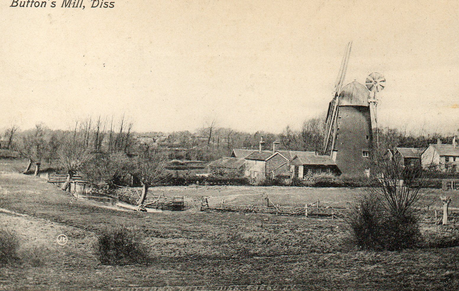
Button's Mill, Diss
Jay's Mill, Button's Mill or Victoria Road Mill is a tower mill at Diss, Norfolk, England which has been truncated and converted to residential accommodation...

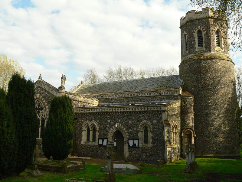
Palgrave, Suffolk
Palgrave is a village and civil parish in the Mid Suffolk district of Suffolk in eastern England. It is located on the south bank of the River Waveney...

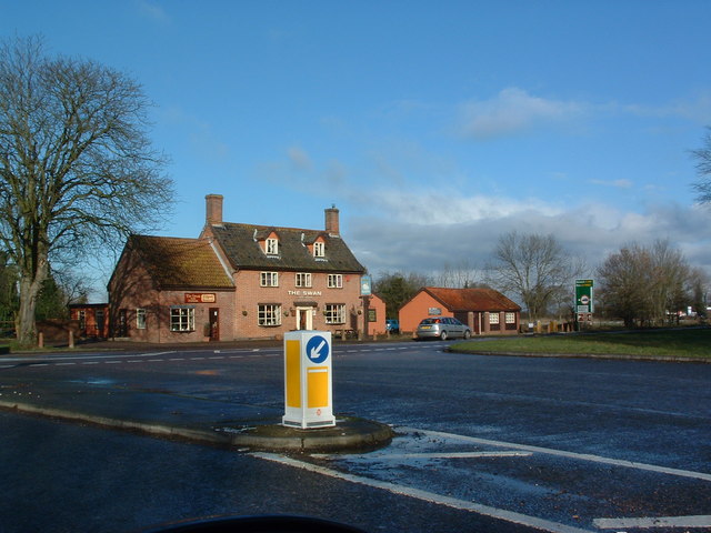
Scole
Scole () is a village on the Norfolk–Suffolk border in England. It is 19 miles south of Norwich and lay on the old Roman road to Venta Icenorum, which...
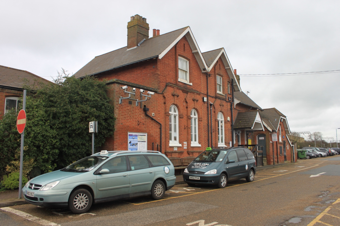
Diss railway station
Diss railway station is on the Great Eastern Main Line in the East of England, serving the market town of Diss, Norfolk. It is 94 miles 43 chains (152...

Gypsy Camp Meadows, Thrandeston
Gypsy Camp Meadows, Thrandeston is a 2.4-hectare (5.9-acre) biological Site of Special Scientific Interest north of Thrandeston in Suffolk.These wet meadows...
Related Videos
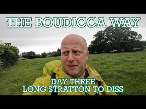
Boudicca Way - Day Three | Long Stratton to Diss | Cool Dudes Walking Club | Norfolk Walks
The final day of the Boudicca Way. A 13-mile stretch from Long Stratton to Diss, through the delightful Pulham Market and past ...
WALKING IN DISS 7TH FEBRUARY (ex Storm Darcy)
WALKING IN DISS during STORM DARCY.

DISS NORFOLK
A tour of the town of Diss in South Norfolk including the church of St Mary , pubs , the historic buildings and history of this attractive ...

WALKING LOWS FOOTPATH DISS IN THE SNOW
8TH FENRUARY 2021.
Nearby Amenities
Located within 500m of 52.358683,1.132741Have you been to Stuston?
Leave your review of Stuston below (or comments, questions and feedback).