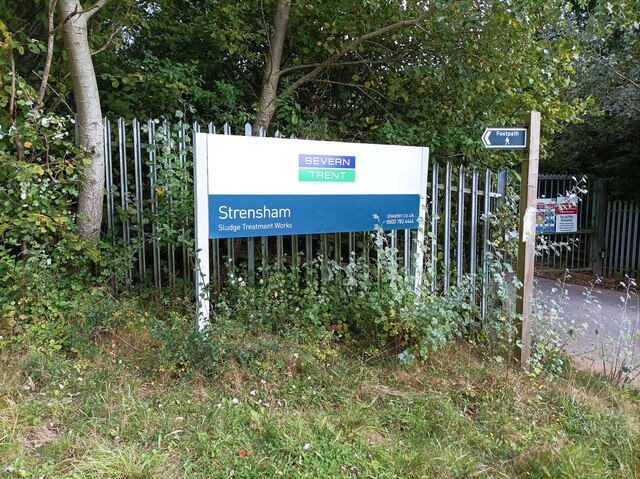
Strensham
Civil Parish in Worcestershire Wychavon
England
Strensham
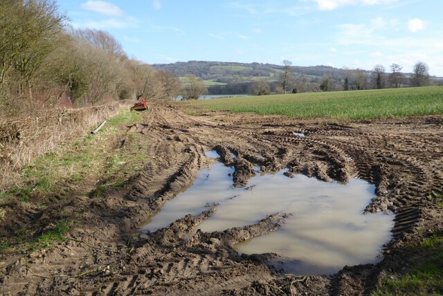
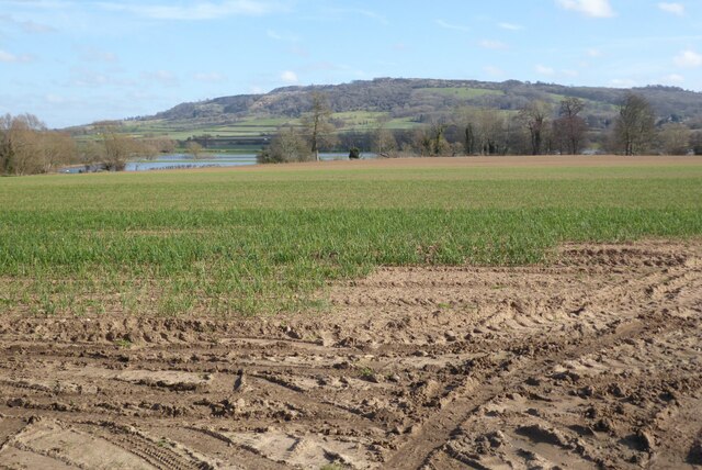
Strensham is a civil parish located in the county of Worcestershire, England. It is situated about 10 miles southeast of the city of Worcester and lies on the eastern bank of the River Avon. The parish covers an area of approximately 4 square miles and is surrounded by picturesque countryside, offering residents and visitors a tranquil and rural setting.
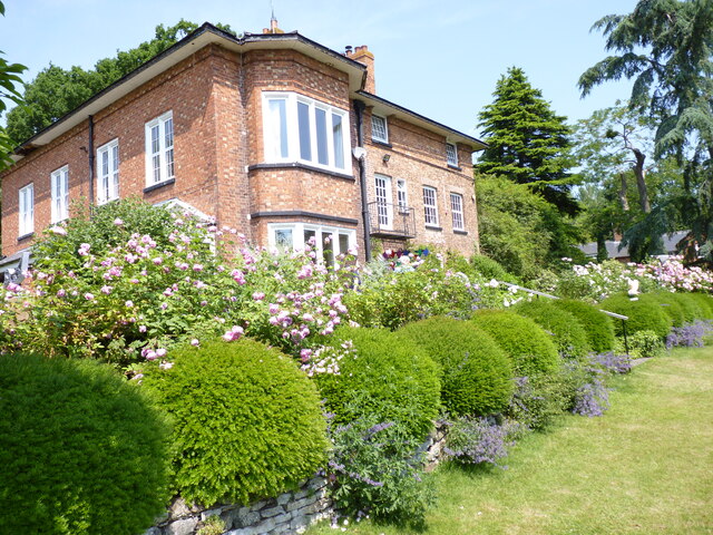
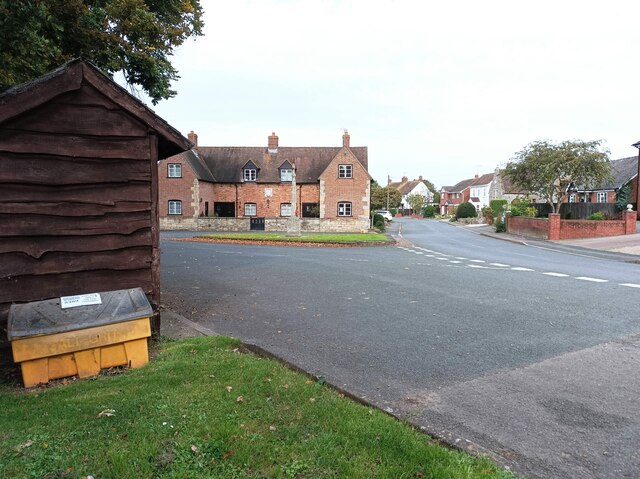
The village of Strensham itself is small, with a population of around 500 people. It is known for its charming and traditional English village atmosphere, with a collection of quaint cottages and a historic parish church, St. John the Baptist. The church dates back to the 12th century and is a notable architectural feature of the area.
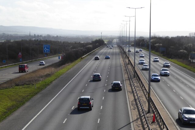
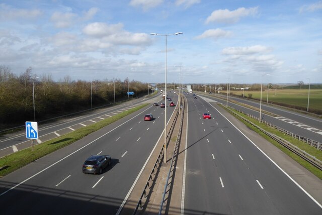
Despite its size, Strensham has good transport links, being located close to the M5 motorway. This provides easy access to nearby towns and cities such as Worcester, Cheltenham, and Gloucester. The village also benefits from a local bus service, connecting residents to surrounding areas.
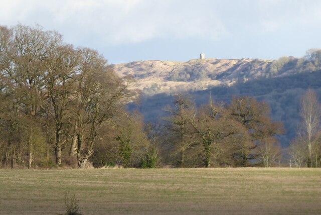
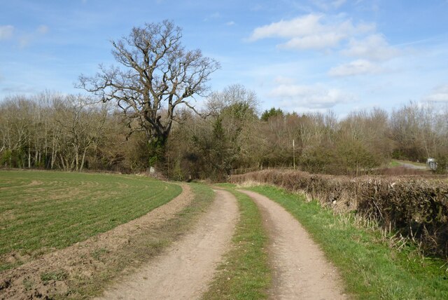
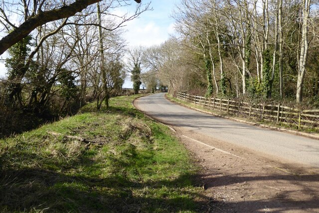
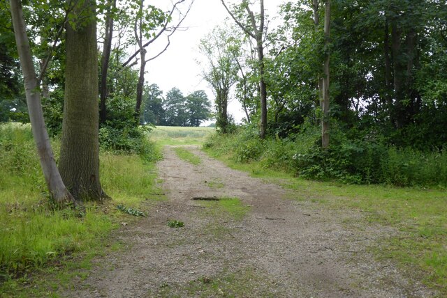
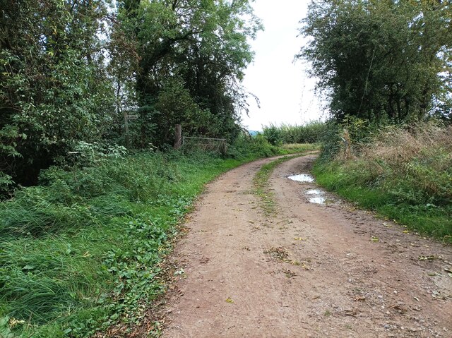
Strensham is surrounded by beautiful countryside, making it an ideal location for outdoor enthusiasts. The River Avon offers opportunities for fishing and boating, while the nearby Worcestershire countryside provides plenty of walking and cycling routes. The parish also boasts various nature reserves, including the Strensham Common Local Nature Reserve, which is home to a diverse range of wildlife.
Overall, Strensham offers a peaceful and idyllic setting, with a strong sense of community and a range of amenities and activities to enjoy.
If you have any feedback on the listing, please let us know in the comments section below.
Strensham Images
Images are sourced within 2km of 52.057259/-2.142697 or Grid Reference SO9039. Thanks to Geograph Open Source API. All images are credited.

Strensham is located at Grid Ref: SO9039 (Lat: 52.057259, Lng: -2.142697)
Administrative County: Worcestershire
District: Wychavon
Police Authority: West Mercia
What 3 Words
///this.protect.disengage. Near Eckington, Worcestershire
Nearby Locations
Related Wikis

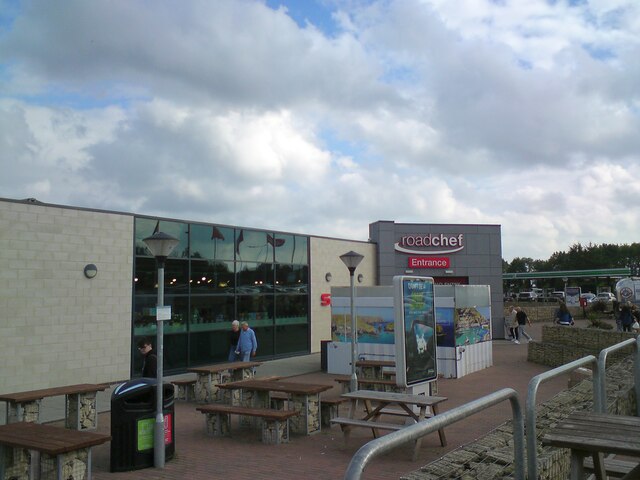
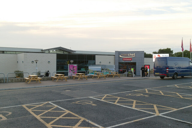
Strensham services
Strensham services is a motorway service station on the M5 in Worcestershire, England. It is operated by Roadchef. In August 2011, it was rated as 4 stars...

Strensham
Strensham is a village in the Wychavon district of Worcestershire. In the 2001 census, the civil parish of Strensham had a population of 314 across 127...

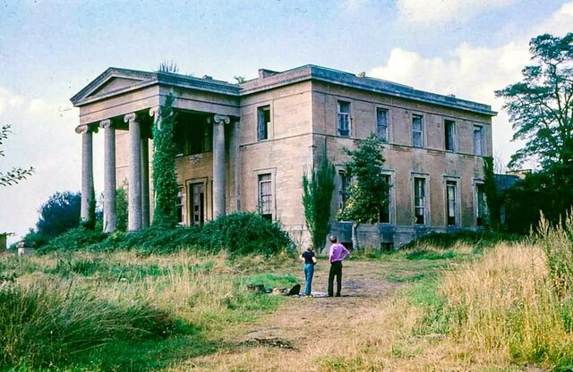
St John the Baptist's Church, Strensham
St John the Baptist's Church is a redundant Anglican church in the village of Strensham, Worcestershire, England. It is recorded in the National Heritage...

Hill Croome
Hill Croome is a village, and a civil parish which covers 1000 acres, in the Malvern Hills District in the county of Worcestershire, England. Historically...
Nearby Amenities
Located within 500m of 52.057259,-2.142697Have you been to Strensham?
Leave your review of Strensham below (or comments, questions and feedback).