Strete

Civil Parish in Devon South Hams

England

Strete

The former National School at Strete Now converted to housing.
The former National School at Strete Credit: Rod Allday

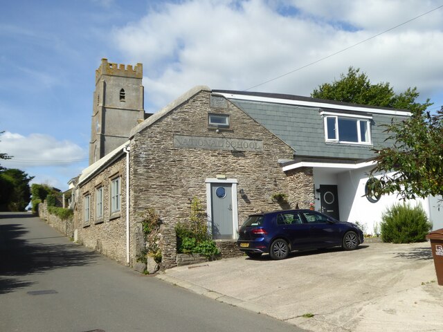
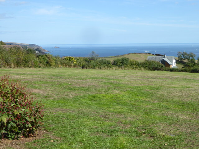
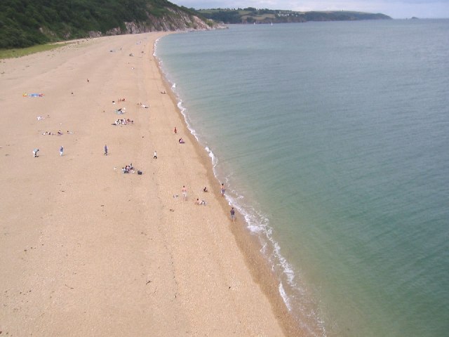
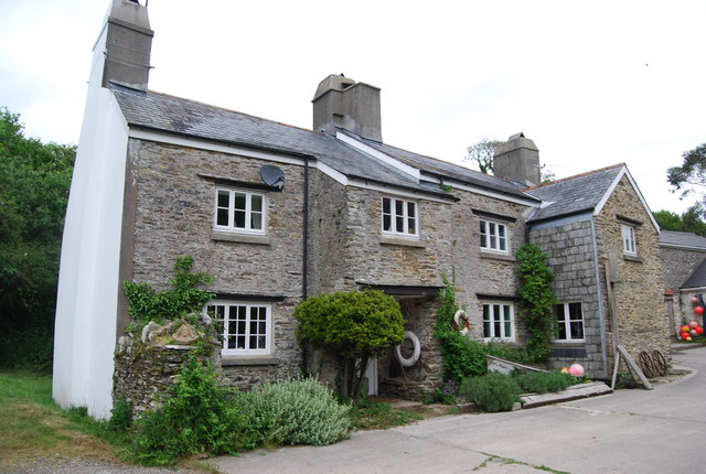
Strete is a small village and civil parish located in South Devon, England. It is situated on the coast of Start Bay, between the towns of Dartmouth and Kingsbridge. The village is known for its picturesque setting, with rolling hills and beautiful views of the surrounding countryside and coastline.

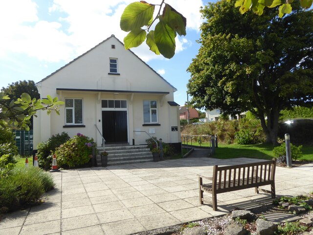
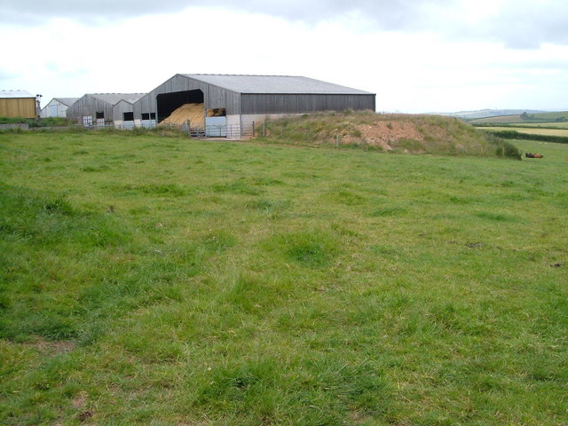
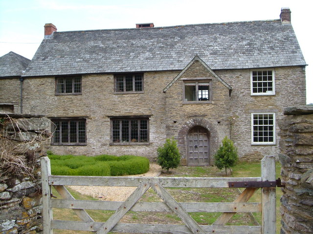
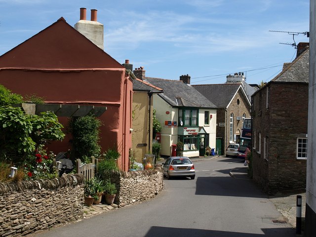
Strete has a population of around 400 residents and is a close-knit community with a strong sense of community spirit. The village has a parish church, primary school, village hall, and a pub, as well as a number of small shops and businesses.

The area around Strete is popular with tourists and visitors, who come to enjoy the stunning natural scenery, coastal walks, and sandy beaches. The village is also a popular destination for birdwatchers, as it is located near the Slapton Ley National Nature Reserve, which is home to a variety of bird species.

Overall, Strete is a charming village with a peaceful and relaxed atmosphere, making it a popular destination for both residents and visitors looking to escape the hustle and bustle of city life.

If you have any feedback on the listing, please let us know in the comments section below.

Strete Images

Images are sourced within 2km of 50.31448/-3.638008 or Grid Reference SX8347. Thanks to Geograph Open Source API. All images are credited.

The former National School at Strete Now converted to housing.
The former National School at Strete
Now converted to housing.
Strete Village Hall
Strete Village Hall
The Church of St Michael and All Angels in Strete
Public open space in Vicarage Lane Strete
Car park in Strete This was formerly the site of the Women's Institute/Reading Room, the Boys' Club, a cottage and the blacksmith's shop, all of which were burnt down during a practice assault when the area was requisitioned for troop manoeuvres in training for D Day in 1944.
Car park in Strete
This was formerly the site of the Women's Institute/Reading Room, the Boys' Club, a cottage and the blacksmith's shop, all of which were burnt down during a practice assault when the area was requisitioned for troop manoeuvres in training for D Day in 1944.
Slapton Sands Actually, this is a 3-mile stretch of shingle rather than sand.
Slapton Sands
Actually, this is a 3-mile stretch of shingle rather than sand.
Old Milestone by the A379, Strete parish Carved stone post by the A379, in parish of Strete (South Hams District), South end of village, just down from New Street Lodge; Southwest of Higher Asherne, against wall, by road, on West side of road. Slapton granite marker, erected by the Kingsbridge & Dartmouth turnpike trust in the 19th century.

Inscription reads:-
TO
KINGSBE
10
TO
DARTMo
5
Carved benchmark and rivet on upper face.

Grade II listed.
List Entry Number: 1165644 <span class="nowrap"><a title="https://historicengland.org.uk/listing/the-list/list-entry/1165644" rel="nofollow ugc noopener" href="https://historicengland.org.uk/listing/the-list/list-entry/1165644">Link</a><img style="margin-left:2px;" alt="External link" title="External link - shift click to open in new window" src="https://s1.geograph.org.uk/img/external.png" width="10" height="10"/></span>

Milestone Society National ID: DV_KBDM10
Old Milestone by the A379, Strete parish
Carved stone post by the A379, in parish of Strete (South Hams District), South end of village, just down from New Street Lodge; Southwest of Higher Asherne, against wall, by road, on West side of road. Slapton granite marker, erected by the Kingsbridge & Dartmouth turnpike trust in the 19th century. Inscription reads:- TO KINGSBE 10 TO DARTMo 5 Carved benchmark and rivet on upper face. Grade II listed. List Entry Number: 1165644 LinkExternal link Milestone Society National ID: DV_KBDM10
Fuge Farm - South Hams A typical South Devon farm.
Fuge Farm - South Hams
A typical South Devon farm.
The road ends here A farmtrack from here on.
The road ends here
A farmtrack from here on.
King's Arms - Strete A roadside pub with a slightly ornate balcony.
King's Arms - Strete
A roadside pub with a slightly ornate balcony.
Looking North-East at Strete Gate Taken at the northern end of Slapton Sands using a remote-controlled camera lofted by a kite. The Mew Stone (off Dartmouth) is visible at the extreme top right.
Looking North-East at Strete Gate
Taken at the northern end of Slapton Sands using a remote-controlled camera lofted by a kite. The Mew Stone (off Dartmouth) is visible at the extreme top right.
Stoke Fleming: Blackpool Farm In 1882 this was a dairy farm of 35 acres with a watermill, known as ‘Lower Blackpool’. The mill was the lowest of four in the little Em valley, above Blackpool Sands, and it still stands, to the right of the pink-washed farmhouse
Stoke Fleming: Blackpool Farm
In 1882 this was a dairy farm of 35 acres with a watermill, known as ‘Lower Blackpool’. The mill was the lowest of four in the little Em valley, above Blackpool Sands, and it still stands, to the right of the pink-washed farmhouse
A Narrow A Road The A379 runs 70 miles between Exeter and Plymouth <a href="https://www.geograph.org.uk/photo/5271213">SX4954 : A374, A379 junction</a>. It takes an indirect and mainly coastal route around South Devon. It passes through Teignmouth, Torquay, Dartmouth, Kingsbridge. It is a very attractive route following the South Devon Coastline. Much of the route is quite narrow.
<span class="nowrap"><a title="https://www.sabre-roads.org.uk/wiki/index.php?title=A379" rel="nofollow ugc noopener" href="https://www.sabre-roads.org.uk/wiki/index.php?title=A379">Link</a><img style="margin-left:2px;" alt="External link" title="External link - shift click to open in new window" src="https://s1.geograph.org.uk/img/external.png" width="10" height="10"/></span>
A Narrow A Road
The A379 runs 70 miles between Exeter and Plymouth SX4954 : A374, A379 junction. It takes an indirect and mainly coastal route around South Devon. It passes through Teignmouth, Torquay, Dartmouth, Kingsbridge. It is a very attractive route following the South Devon Coastline. Much of the route is quite narrow. LinkExternal link
Slapton: Gara Mill Now a centre for holiday lodges, this was once a working watermill and the structure carries a datestone from 1559
Slapton: Gara Mill
Now a centre for holiday lodges, this was once a working watermill and the structure carries a datestone from 1559
Southwood Farm, Strete Uniformly built in local slate, this farm is at the top of a steep hill above Blackpool Sands, the cliff behind which can just be seen on the left.
Southwood Farm, Strete
Uniformly built in local slate, this farm is at the top of a steep hill above Blackpool Sands, the cliff behind which can just be seen on the left.
Homer Park, Strete Agricultural buildings on the east side of Homer Park, seen from Norns Lane.
Homer Park, Strete
Agricultural buildings on the east side of Homer Park, seen from Norns Lane.
Great Coombe, near Stoke Fleming According to Cherry & Pevsner, "a late C16 and C17 farmhouse adapted from an earlier ... building ...the two-storey porch with richly moulded doorcase and contemporary door are of c 1600". The very rich architectural heritage of this building is described at <span class="nowrap"><a title="http://www.imagesofengland.org.uk/Details/Default.aspx?id=99913&mode=adv" rel="nofollow ugc noopener" href="http://www.imagesofengland.org.uk/Details/Default.aspx?id=99913&mode=adv">Link</a><img style="margin-left:2px;" alt="External link" title="External link - shift click to open in new window" src="https://s1.geograph.org.uk/img/external.png" width="10" height="10"/></span> .
Great Coombe, near Stoke Fleming
According to Cherry & Pevsner, "a late C16 and C17 farmhouse adapted from an earlier ... building ...the two-storey porch with richly moulded doorcase and contemporary door are of c 1600". The very rich architectural heritage of this building is described at LinkExternal link .
Southwood Farm A view of the farm buildings from near the junction with the lane to Strete.
Southwood Farm
A view of the farm buildings from near the junction with the lane to Strete.
Show me another place!

Strete is located at Grid Ref: SX8347 (Lat: 50.31448, Lng: -3.638008)

Administrative County: Devon

District: South Hams

Police Authority: Devon & Cornwall

What 3 Words

///desiring.bumpy.duty. Near Dartmouth, Devon

Nearby Locations

Strete

Related Wikis

Ash, Devon

Ash is a village in Devon, England and is situated approximately 2.5 miles (4 km) south-west of Dartmouth. == References ==

Strete

Strete is a coastal village and civil parish in the South Hams district of Devon, England, on the coast of Start Bay, within the South Devon Area of Outstanding...

Bowden, Stoke Fleming

Bowden is a hamlet in the parish of Stoke Fleming in the South Hams district of Devon, England, about 1 mile (2 km) west of Stoke Fleming. Bowden House...

Burlestone

Burlestone is a village in Devon, England. == References ==

Nearby Amenities

Located within 500m of 50.31448,-3.638008
Natural: peak
Source: OS1
Lat/Long: 50.3105693/-3.6349012
Generator Method: photovoltaic
Generator Output Electricity: yes
Generator Source: solar
Generator Type: solar_photovoltaic_panel
Location: roof
Power: generator
Lat/Long: 50.3132623/-3.631459
Location Transition: yes
Power: pole
Lat/Long: 50.3105843/-3.6348105
Power: pole
Lat/Long: 50.3106862/-3.6346681
Recycling
Recycling Glass Bottles: yes
Recycling Paper: yes
Recycling Type: container
Lat/Long: 50.3142417/-3.6323691
The data included in this document is from www.openstreetmap.org. The data is made available under ODbL.

Have you been to Strete?

Leave your review of Strete below (or comments, questions and feedback).