Strelley
Civil Parish in Nottinghamshire Broxtowe
England
Strelley
Strelley is a civil parish located in the county of Nottinghamshire, England. It is situated approximately 5 miles northwest of Nottingham city center and covers an area of around 2 square miles. The parish is part of the Broxtowe borough and has a population of around 1,500 people.
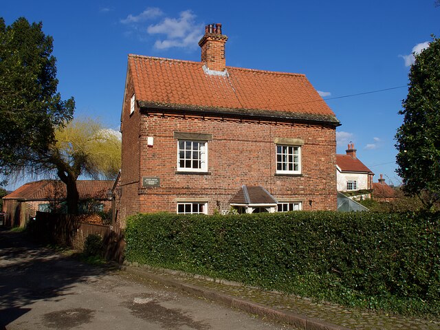
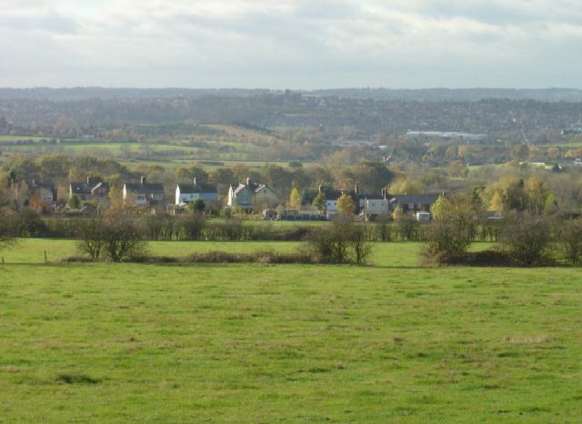
Strelley is a historic village with a rich heritage dating back to the medieval times. The village is known for its picturesque setting, surrounded by countryside and farmland. It features a mix of traditional stone cottages and more modern housing developments.
One of the notable landmarks in Strelley is Strelley Hall, a Grade II listed mansion house. The hall dates back to the 16th century and has a distinctive architectural style, with a grand entrance and beautiful gardens. It is currently privately owned but occasionally opens its doors to the public for events and tours.
The village also has a primary school, Strelley Community School, which serves the local community. Additionally, there are a few local businesses and amenities, including a post office and a small convenience store.
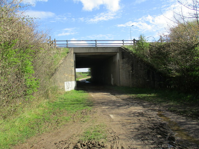
Strelley is well-connected to surrounding areas by road, with easy access to the M1 motorway and the A610. The nearby city of Nottingham offers a range of amenities and attractions, including shopping centers, restaurants, and cultural sites.
Overall, Strelley is a charming and peaceful village with a close-knit community and a rich historical background. It offers a rural lifestyle within easy reach of urban amenities.
If you have any feedback on the listing, please let us know in the comments section below.
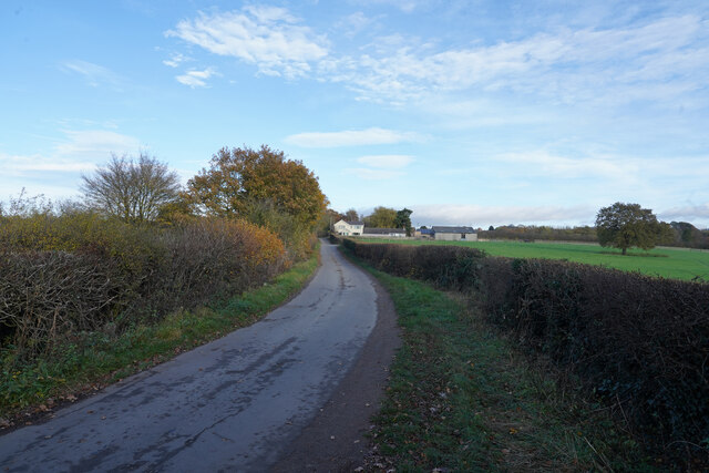
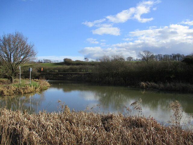
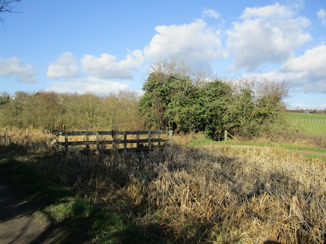
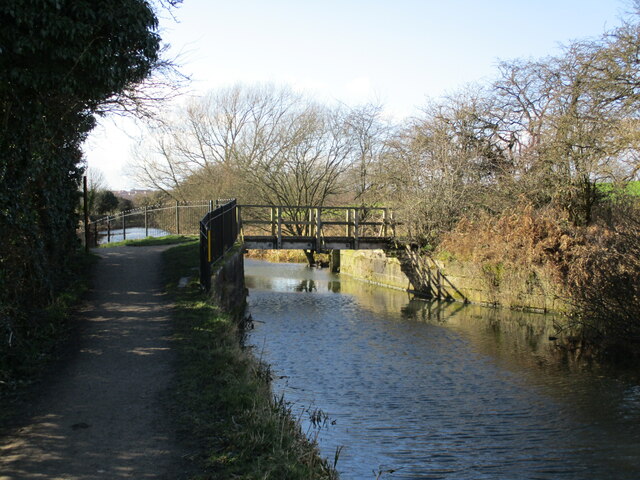
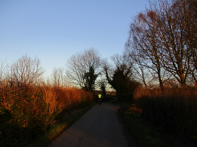
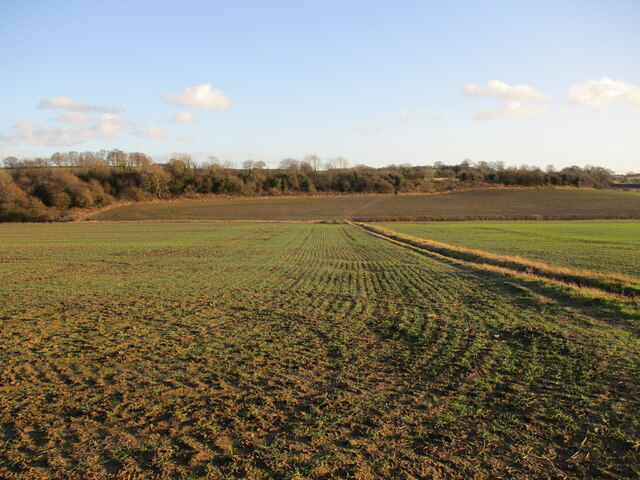
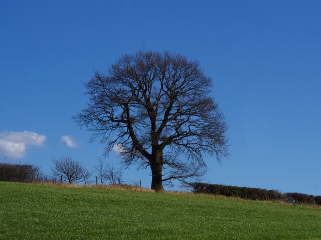
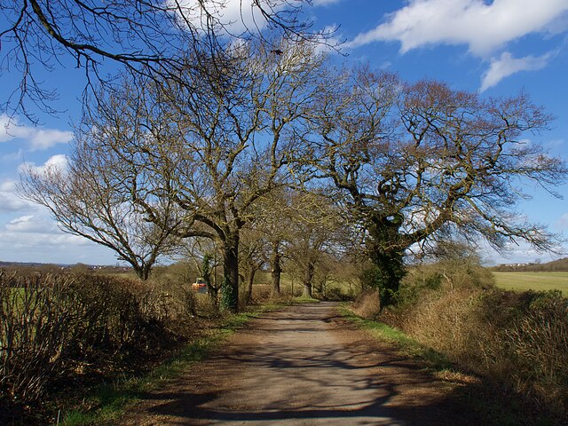
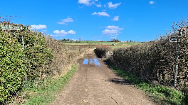
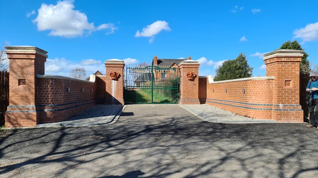
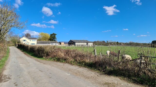
Strelley Images
Images are sourced within 2km of 52.976424/-1.253724 or Grid Reference SK5042. Thanks to Geograph Open Source API. All images are credited.

Strelley is located at Grid Ref: SK5042 (Lat: 52.976424, Lng: -1.253724)
Administrative County: Nottinghamshire
District: Broxtowe
Police Authority: Nottinghamshire
What 3 Words
///sheets.transmitted.poetic. Near Kimberley, Nottinghamshire
Nearby Locations
Related Wikis
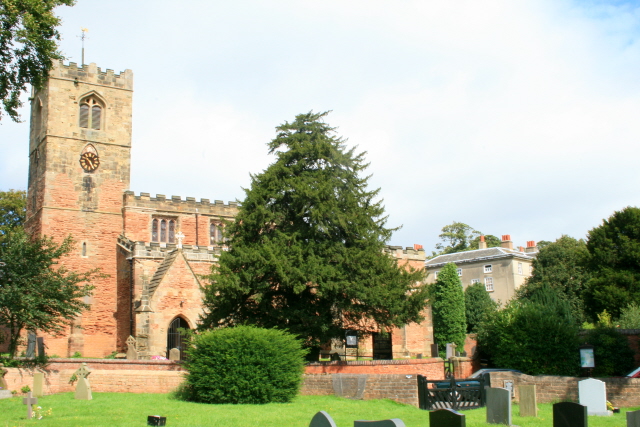
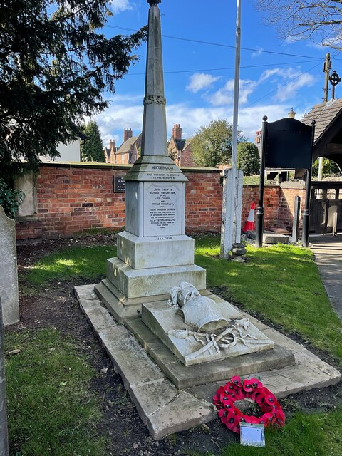
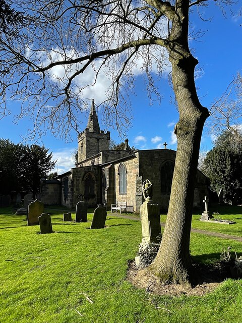
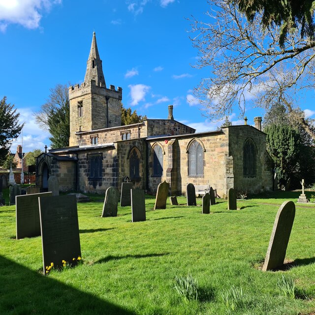
All Saints' Church, Strelley
All Saints' Church, Strelley is a Grade I listed parish church in the Church of England in Strelley, Nottinghamshire. == History == The church dates from...

Oldmoor Wood
Oldmoor Wood is a woodland in Nottinghamshire, England, near the village of Strelley. It covers a total area of 15.11 hectares (37.34 acres). It is owned...
Strelley Village
Strelley is a village and former civil parish in the Borough of Broxtowe and City of Nottingham in Nottinghamshire, England. It is to the west of Nottingham...
Babbington
Babbington is a hamlet in Nottinghamshire, England. It is located 2 miles south of Kimberley, close to the M1 motorway. It is part of Kimberley civil parish...
Nearby Amenities
Located within 500m of 52.976424,-1.253724Have you been to Strelley?
Leave your review of Strelley below (or comments, questions and feedback).