Broad Oak Plantation
Wood, Forest in Nottinghamshire Broxtowe
England
Broad Oak Plantation
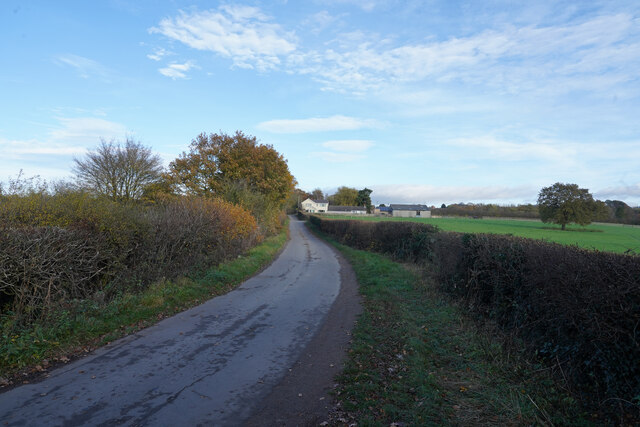
Broad Oak Plantation is a picturesque woodland located in Nottinghamshire, England. Covering an area of approximately 500 acres, it is nestled within the tranquil countryside, just a short distance from the village of Broad Oak.
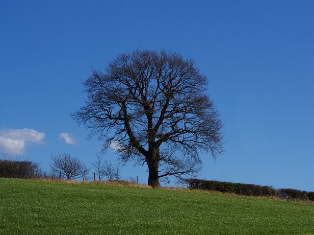
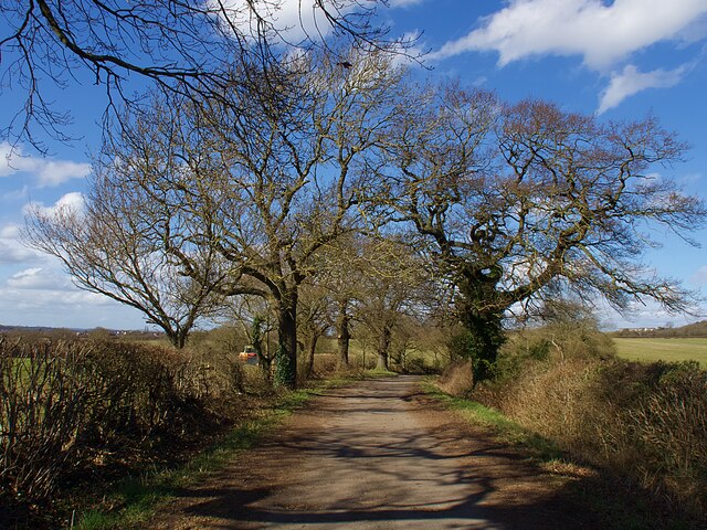
The plantation is renowned for its dense and diverse forest, boasting a variety of tree species including oak, beech, ash, and birch. These towering trees create a canopy that provides shade and a sense of serenity for visitors exploring the woodland. The forest floor is abundant with an array of wildflowers, ferns, and mosses, adding to the enchanting atmosphere.
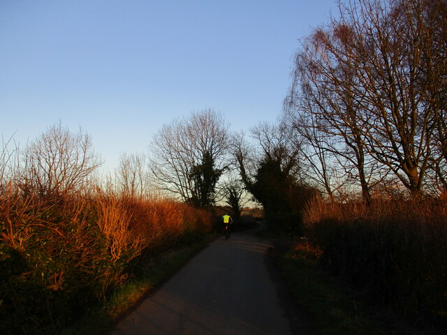
There are several well-maintained trails that wind through the plantation, allowing visitors to fully immerse themselves in the natural beauty of the surroundings. These trails cater to both walkers and cyclists, providing a range of difficulty levels to suit all abilities. Along the way, visitors may encounter a variety of wildlife, including deer, rabbits, and a diverse range of bird species.
Broad Oak Plantation also features a designated picnic area, providing the perfect spot for visitors to relax and enjoy the peaceful surroundings. Additionally, the plantation is home to a small lake, where visitors can try their hand at fishing or simply take in the tranquil ambiance.
Overall, Broad Oak Plantation is a haven for nature lovers and outdoor enthusiasts. With its stunning woodland, diverse wildlife, and well-maintained trails, it offers a delightful escape from the hustle and bustle of everyday life.
If you have any feedback on the listing, please let us know in the comments section below.
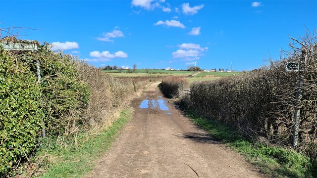
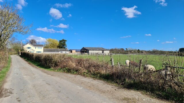
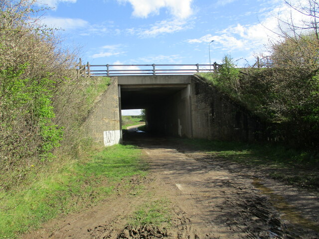
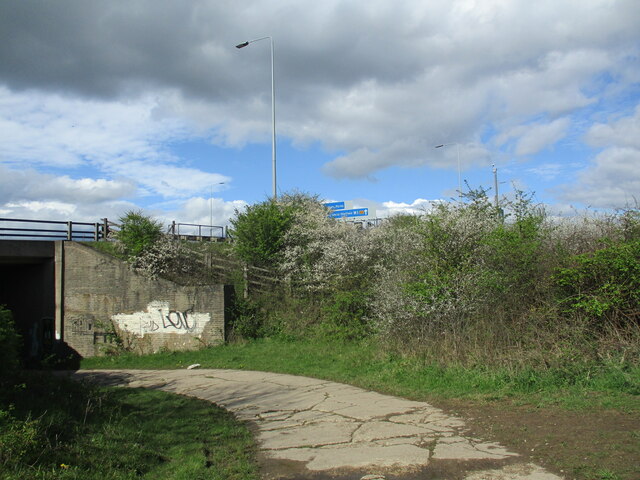
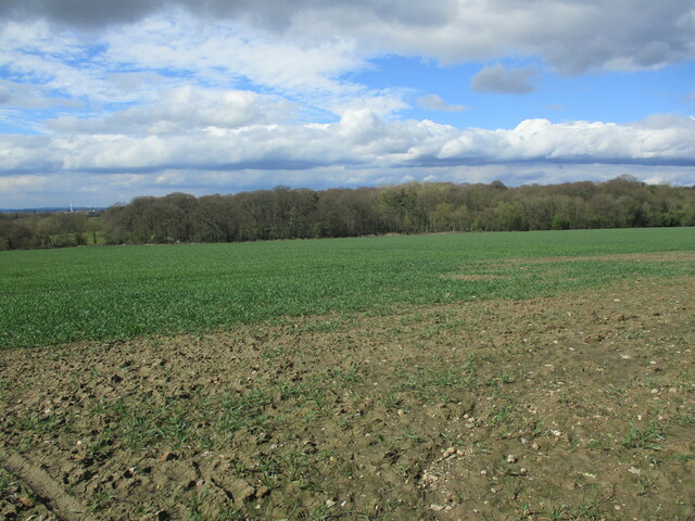
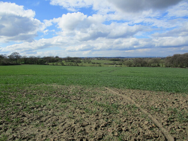
Broad Oak Plantation Images
Images are sourced within 2km of 52.980417/-1.2450533 or Grid Reference SK5042. Thanks to Geograph Open Source API. All images are credited.


Broad Oak Plantation is located at Grid Ref: SK5042 (Lat: 52.980417, Lng: -1.2450533)
Administrative County: Nottinghamshire
District: Broxtowe
Police Authority: Nottinghamshire
What 3 Words
///jaws.nerve.spider. Near Kimberley, Nottinghamshire
Nearby Locations
Related Wikis
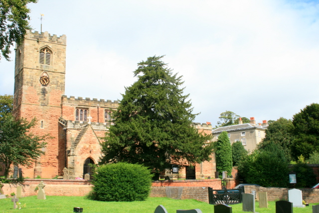
All Saints' Church, Strelley
All Saints' Church, Strelley is a Grade I listed parish church in the Church of England in Strelley, Nottinghamshire. == History == The church dates from...
Strelley Village
Strelley is a village and civil parish in the Borough of Broxtowe and City of Nottingham in Nottinghamshire, England. It is to the west of Nottingham....
Strelley, Nottingham
Strelley Estate is a post war housing estate located in the Bilborough ward in the City of Nottingham. The estate is located around 3.5 miles (6 km) from...

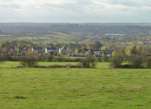
Oldmoor Wood
Oldmoor Wood is a woodland in Nottinghamshire, England, near the village of Strelley. It covers a total area of 15.11 hectares (37.34 acres). It is owned...
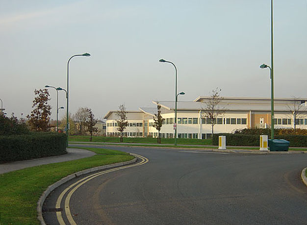
Bilborough College
Bilborough Sixth Form College is a sixth-form college in Nottingham, England. The college has students from across the conurbation. A third of its students...
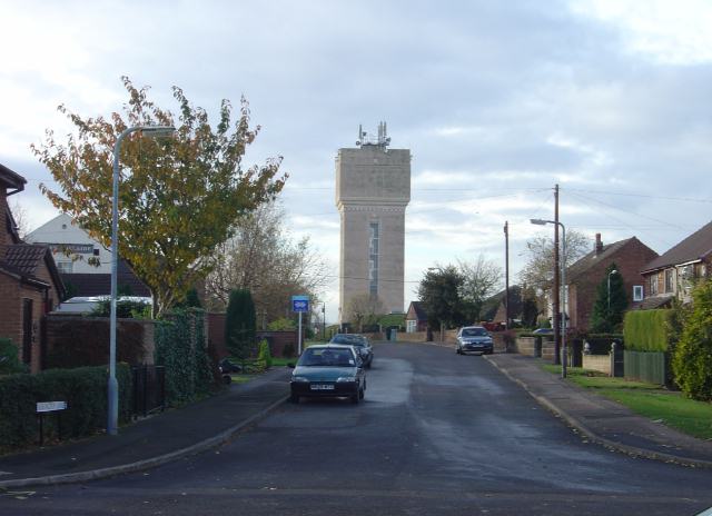
Swingate, Nottinghamshire
Swingate is a small English village positioned between of Kimberley and Babbington, in the Broxtowe district, in the county of Nottinghamshire. == History... ==
Babbington
Babbington is a hamlet in Nottinghamshire, England. It is located 2 miles south of Kimberley, close to the M1 motorway. It is part of Kimberley civil parish...
Nuthall
Nuthall is a village and civil parish located in Nottinghamshire, England, neighbouring Kimberley, Watnall, Cinderhill and Basford. The population of the...
Nearby Amenities
Located within 500m of 52.980417,-1.2450533Have you been to Broad Oak Plantation?
Leave your review of Broad Oak Plantation below (or comments, questions and feedback).