Stourpaine
Civil Parish in Dorset North Dorset
England
Stourpaine
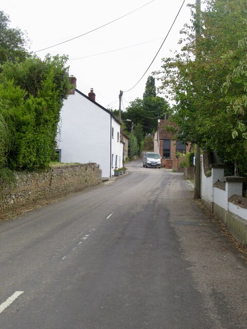
Stourpaine is a civil parish located in the county of Dorset, England. Situated in the Blackmore Vale, it lies approximately 8 miles northwest of the town of Blandford Forum. The village is surrounded by picturesque countryside, with rolling hills and charming rural landscapes.
The name "Stourpaine" is derived from the Old English words "stour," meaning stream, and "pan," meaning enclosure or settlement. This hints at the village's historical connection to the nearby River Stour, which flows through the area.
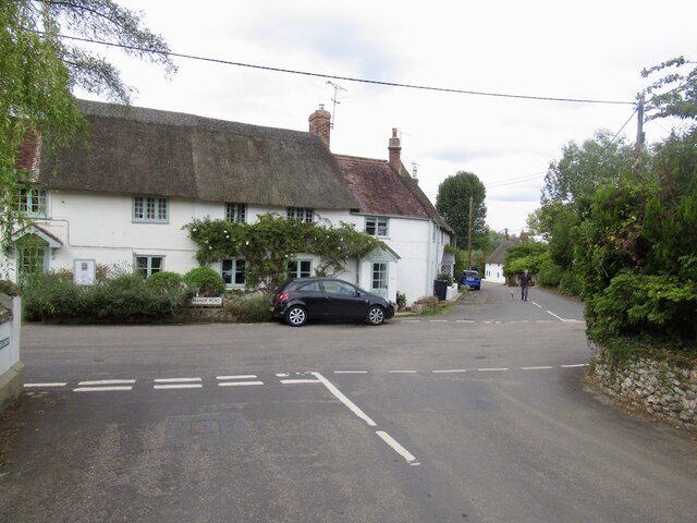
The village itself is small, with a population of around 700 residents. It boasts a rich history dating back to the medieval period, evident in its traditional architecture. Stourpaine is home to several listed buildings, including the 13th-century St. Mary's Church and the historic Stourpaine Bushes, a former coaching inn.
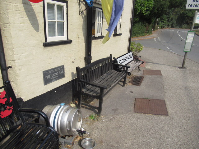
The community in Stourpaine is close-knit, with a range of amenities and services to cater to its residents. These include a village hall, primary school, and a local pub, providing a focal point for social gatherings and events. The parish also offers a variety of recreational activities, such as walking and cycling routes that allow residents and visitors to explore the beautiful countryside.
Overall, Stourpaine is a quintessential English village, known for its historic charm, natural beauty, and friendly community. It offers a peaceful and idyllic setting for those seeking a tranquil rural lifestyle.
If you have any feedback on the listing, please let us know in the comments section below.
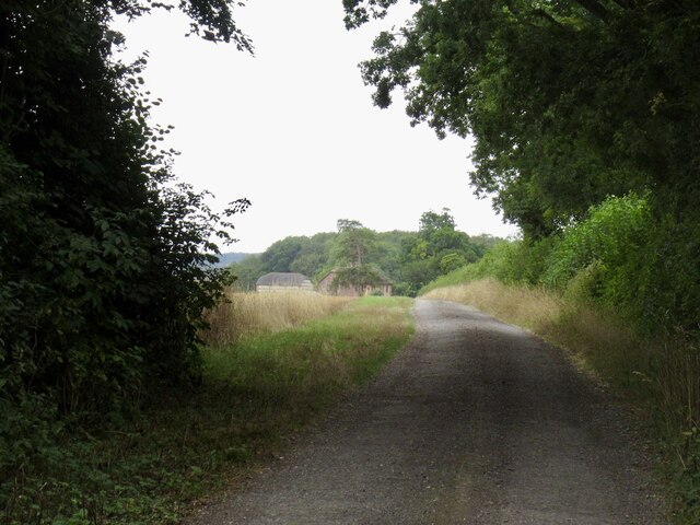
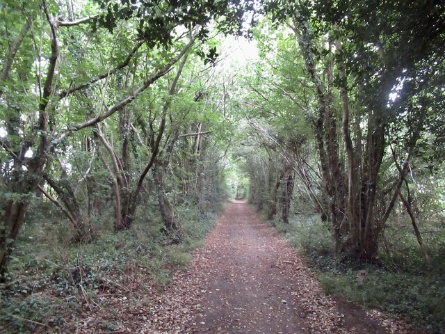
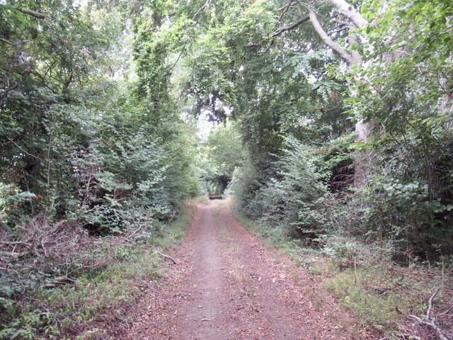
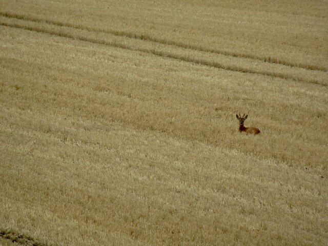
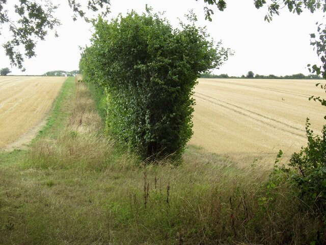
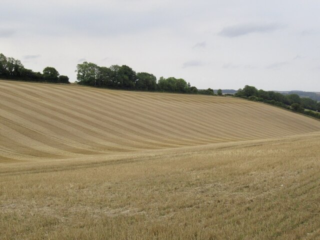
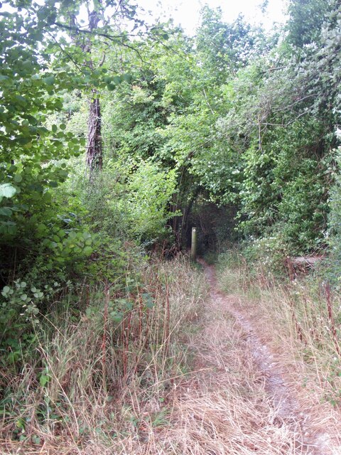
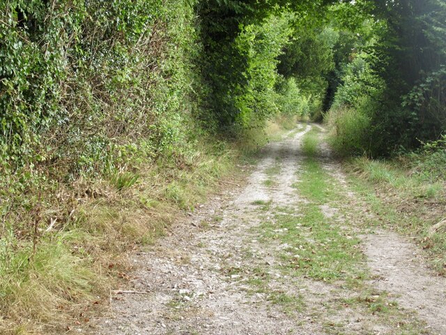
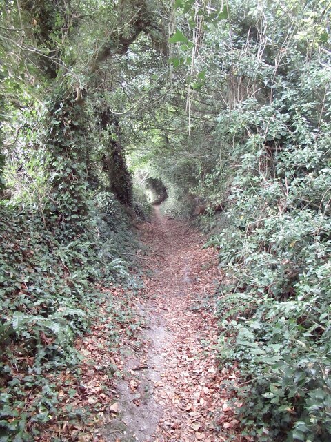
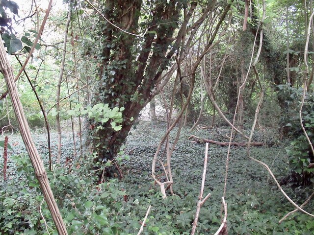
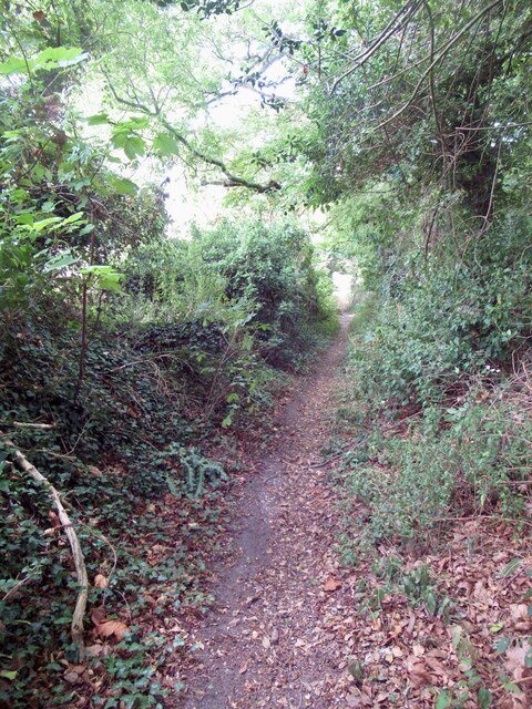
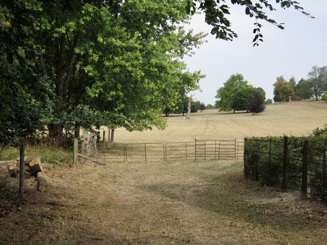
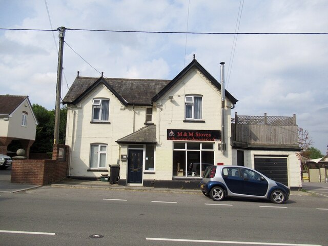
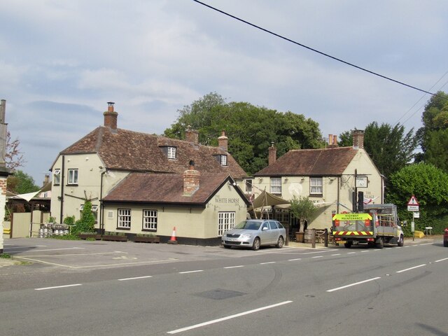
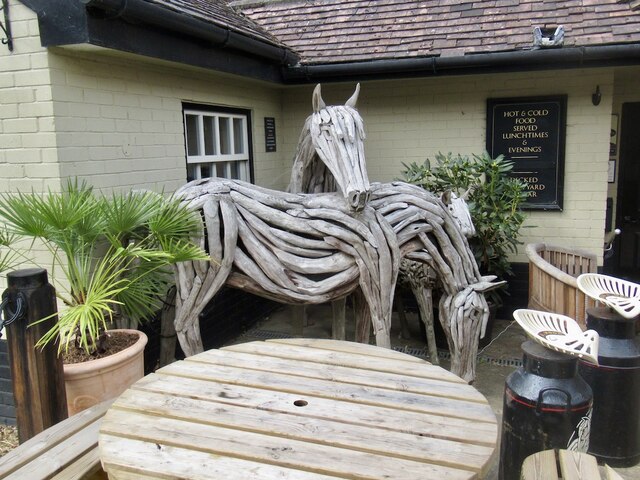
Stourpaine Images
Images are sourced within 2km of 50.892307/-2.179388 or Grid Reference ST8710. Thanks to Geograph Open Source API. All images are credited.
Stourpaine is located at Grid Ref: ST8710 (Lat: 50.892307, Lng: -2.179388)
Administrative County: Dorset
District: North Dorset
Police Authority: Dorset
What 3 Words
///stint.drives.checked. Near Pimperne, Dorset
Nearby Locations
Related Wikis

Ash (near Stourpaine)
Ash is a hamlet approximately 0.5 miles (1 km) north of the village of Stourpaine, Dorset, England.Ash was listed in the Domesday Book of 1086. == References... ==

Stepleton House
Stepleton House is a 17th-century country house in the parish of Iwerne Stepleton in Dorset, situated about 5 kilometres (3 mi) north of Blandford Forum...

Stourpaine
Stourpaine () is a village and civil parish in the ceremonial county of Dorset in southern England. It is situated in the valley of the River Stour in...

Iwerne Stepleton
Iwerne Stepleton (anciently Ewern Stapleton, etc.) is a small civil parish and former manor in the county of Dorset, England. The parish comprises about...

Hod Hill
Hod Hill (or Hodd Hill) is a large hill fort in the Blackmore Vale, 3 miles (5 km) north-west of Blandford Forum, Dorset, England. The fort sits on a 143...

Stourpaine and Durweston railway station
Stourpaine & Durweston Halt was a railway station in the English county of Dorset. It was located between Shillingstone and Blandford Forum on the Somerset...

Durweston
Durweston ( dər-WES-tən) is a village and civil parish in the English county of Dorset. It lies two miles (three kilometres) northwest of the town of Blandford...

Iwerne Courtney
Iwerne Courtney (), also known as Shroton, is a village and civil parish in the English county of Dorset. It lies approximately 4 miles (6 kilometres)...
Have you been to Stourpaine?
Leave your review of Stourpaine below (or comments, questions and feedback).