Stourmouth
Civil Parish in Kent Dover
England
Stourmouth
Stourmouth is a civil parish located in the county of Kent, England. It is situated on the eastern bank of the River Stour, approximately 5 miles north of the historic city of Canterbury. The parish encompasses an area of around 11 square miles and is home to a population of roughly 1,000 residents.
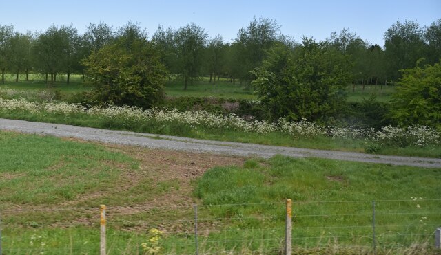
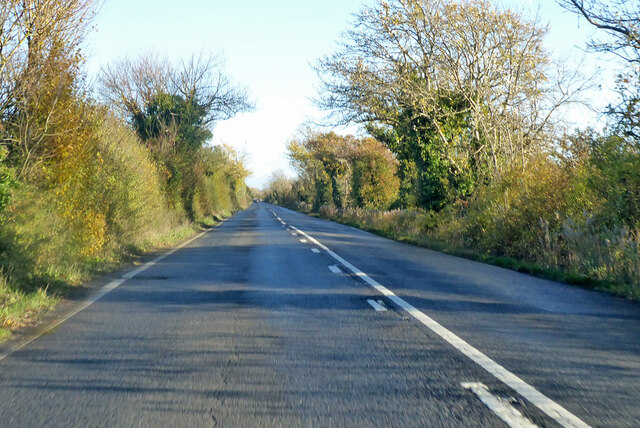
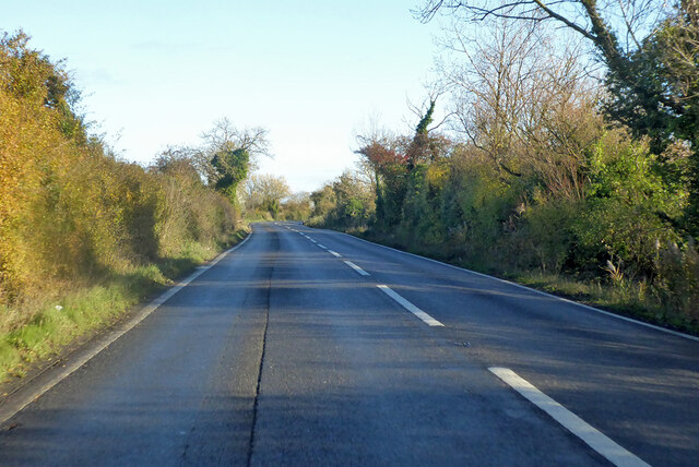
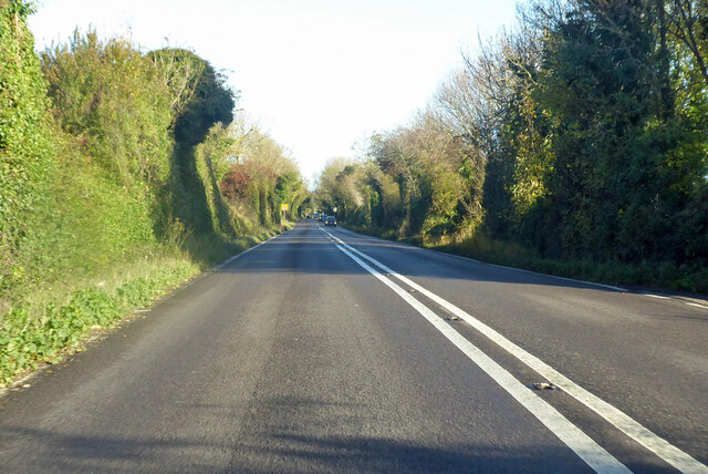
The village of Stourmouth itself is a charming rural settlement with a rich history dating back to medieval times. It is characterized by its picturesque landscapes, rolling hills, and traditional architecture. The centerpiece of the village is the beautiful 13th-century St. Mary's Church, which is a prominent landmark in the area.
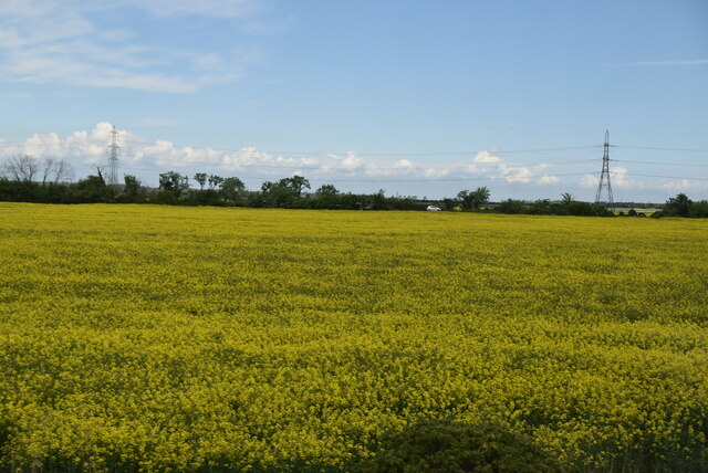
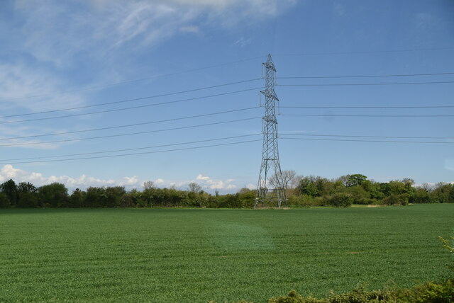
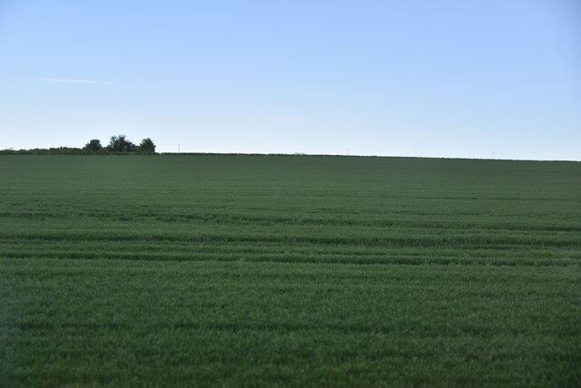
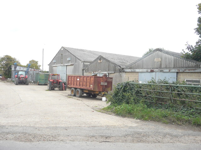
The parish is predominantly agricultural, with vast stretches of farmland and meadows surrounding the village. This agricultural heritage is reflected in the local economy, with many residents involved in farming and related industries.
Stourmouth also benefits from its proximity to the River Stour, which offers opportunities for fishing, boating, and other recreational activities. The surrounding countryside provides ample opportunities for outdoor pursuits such as walking, cycling, and horse riding.
The village has a close-knit community, with a primary school, a village hall, and a local pub serving as social hubs for residents. The nearby city of Canterbury provides additional amenities and services, including schools, healthcare facilities, and a range of shops and restaurants.
Overall, Stourmouth offers a tranquil and idyllic setting for residents, combining the beauty of the countryside with easy access to urban amenities.
If you have any feedback on the listing, please let us know in the comments section below.
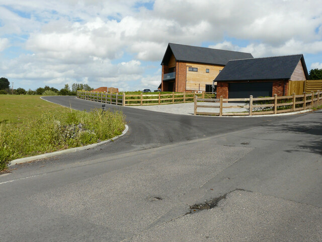
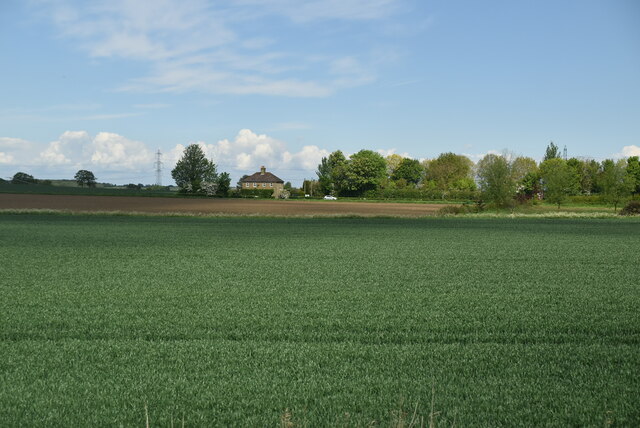
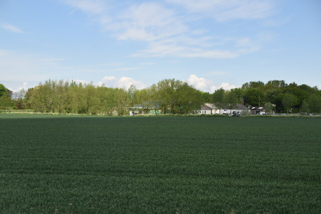
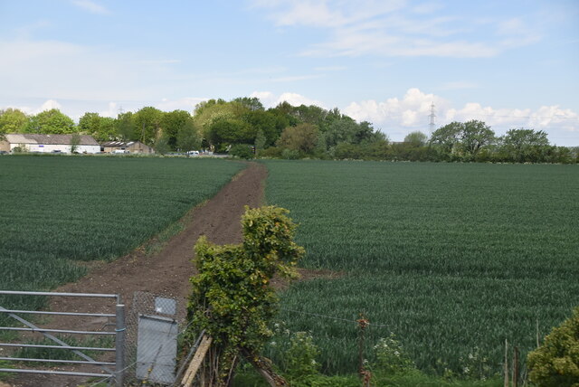
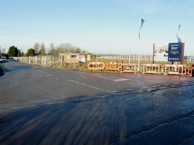
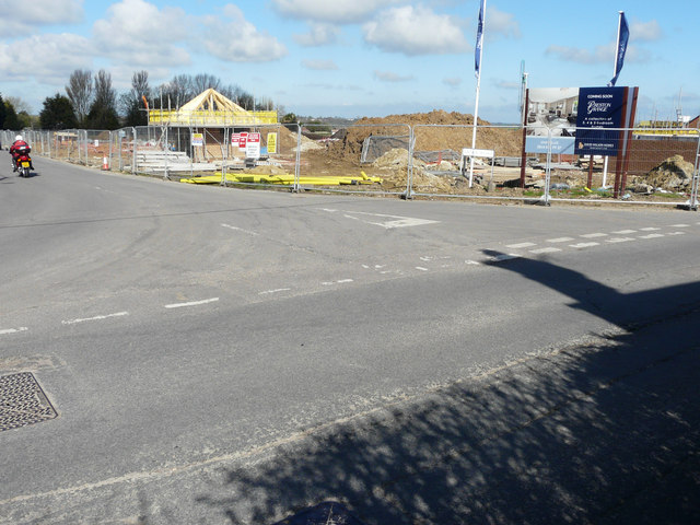
Stourmouth Images
Images are sourced within 2km of 51.320596/1.23946 or Grid Reference TR2562. Thanks to Geograph Open Source API. All images are credited.


Stourmouth is located at Grid Ref: TR2562 (Lat: 51.320596, Lng: 1.23946)
Administrative County: Kent
District: Dover
Police Authority: Kent
What 3 Words
///sheepish.beads.gifts. Near Ash, Kent
Nearby Locations
Related Wikis
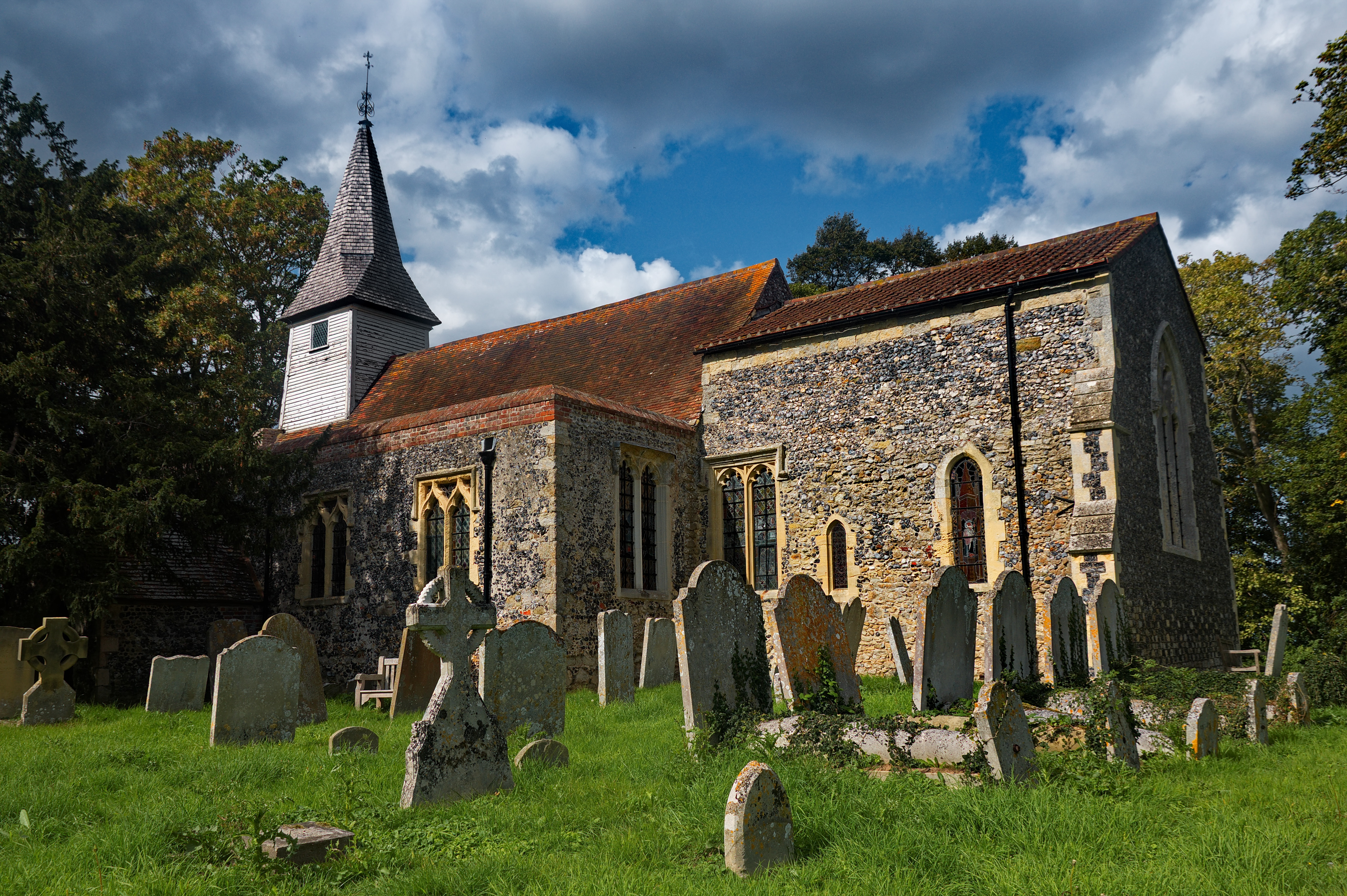
All Saints Church, West Stourmouth
All Saints Church, West Stourmouth, is a redundant Anglican church in the civil parish of Stourmouth, Kent, England. It is recorded in the National Heritage...

Stourmouth
Stourmouth is a civil parish in the Dover non-metropolitan district of Kent, England. The parish contains the settlements of East and West Stourmouth,...

Little Stour
The Little Stour is one of the tributaries of the River Stour in the English county of Kent. The upper reaches of the river is known as the Nailbourne...
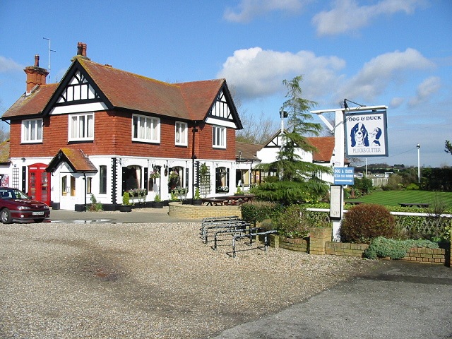
Plucks Gutter
Plucks Gutter is a hamlet in the civil parish of Stourmouth, Kent, England. The hamlet is situated where the Little Stour and Great Stour rivers meet...

Sarre Penn
Sarre Penn is a tributary of the River Stour in Kent, England, joining with the River Wantsum near Sarre, where it is known locally as the Fishbourne...

Sarre, Kent
Sarre is a village and civil parish in Thanet District in Kent, England. The village is a part of St. Nicholas-at-Wade ecclesiastical parish, after having...

Preston-next-Wingham
Preston or Preston-next-Wingham is a civil parish and village in the valley of the Little Stour in the Dover District of Kent, England. The village is...

Sarre Windmill
Sarre Windmill is a Grade II listed smock mill in Sarre, Kent, England, that was built in 1820. Formerly restored and working commercially, the mill is...
Related Videos

Grove Ferry, Upstreet & Stodmarsh Village, a Walking History Tour Guide Using Old Postcards Kent UK
Grove Ferry, Upstreet & Stodmarsh village, Kent, UK, A walking history tour guide of Grove Ferry, Upstreet & Stodmarsh using old ...

Preston Village, Walking History Tour Guide Using Old Postcards Kent UK
Preston Village, a walking history tour guide of Preston Village, Kent using old postcards and photographs. Would really ...

The Stour River nr. Plucks Gutter, Hike & Wild Camp in the Lanshan2 Pro, July 2022
A Saturday hike along The Stour river in Kent, between Plucks Gutter and Sandwich for a riverside wild-camp at just 2.3m ...

Grove Ferry - 8 miler
8 mile hike around Grove Ferry & Plucks Gutter.
Nearby Amenities
Located within 500m of 51.320596,1.23946Have you been to Stourmouth?
Leave your review of Stourmouth below (or comments, questions and feedback).