Alkmonton

Settlement in Derbyshire Derbyshire Dales

England

Alkmonton

Road sign on Ashbourne Road
Road sign on Ashbourne Road Credit: Ian S

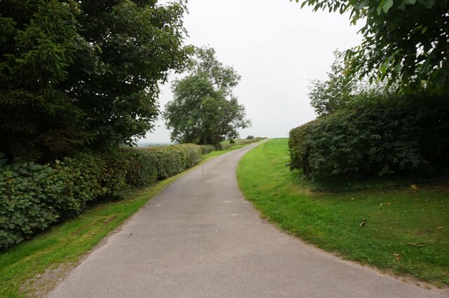
Alkmonton is a small village located in the county of Derbyshire, England. Situated approximately 10 miles southwest of the city of Derby, it falls under the jurisdiction of the South Derbyshire district. The village is nestled in a rural setting, surrounded by picturesque countryside and rolling hills.

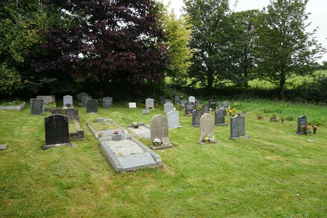
Alkmonton has a long and rich history, with evidence of human settlement dating back to the Roman period. The village is mentioned in the Domesday Book of 1086, highlighting its significance during medieval times. Today, Alkmonton retains much of its traditional charm, with several historic buildings and landmarks dotting the landscape.

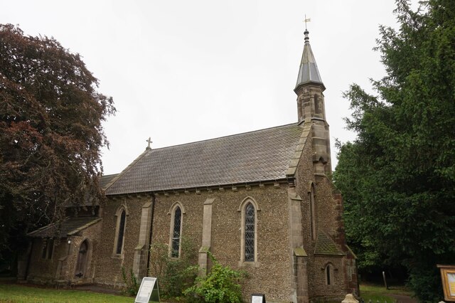
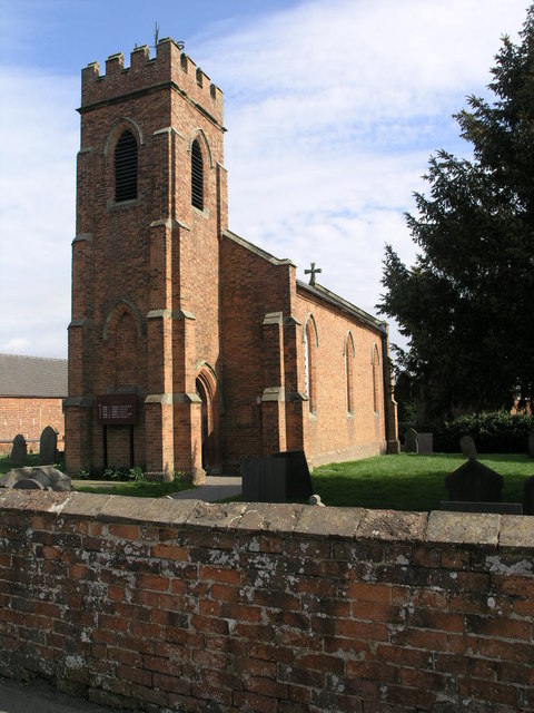
One notable feature of Alkmonton is its 13th-century church, St. John the Baptist. This impressive structure showcases architectural elements from various periods, including Norman, Gothic, and Victorian styles. The church is still an active place of worship and plays a central role in the community.

While Alkmonton is primarily a residential area, it offers a peaceful and idyllic setting for its residents. The village is known for its close-knit community spirit, with various social events and activities organized throughout the year. Its rural location also makes it a popular destination for nature lovers and outdoor enthusiasts, with plenty of opportunities for walking, hiking, and exploring the surrounding countryside.

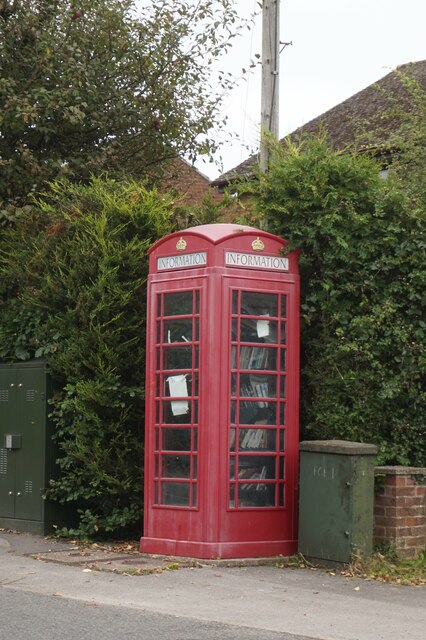
In terms of amenities, Alkmonton has limited facilities within the village itself. However, the nearby towns of Ashbourne and Derby provide a range of services, including shops, schools, and healthcare facilities. The village is well-connected by road, with easy access to major transportation routes, making it a convenient location for commuters.

If you have any feedback on the listing, please let us know in the comments section below.
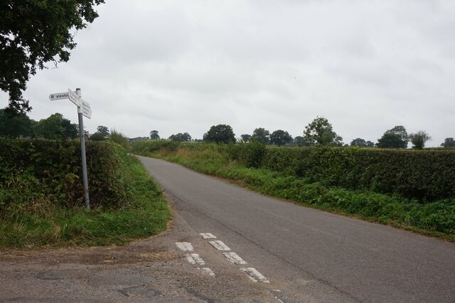
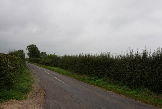
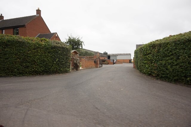
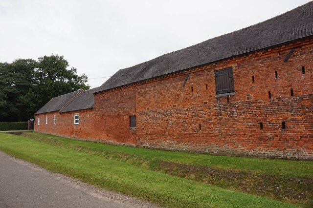
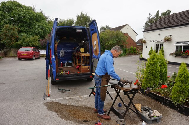
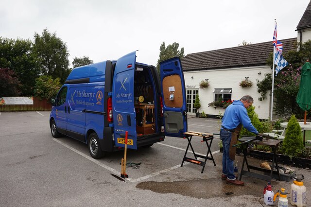
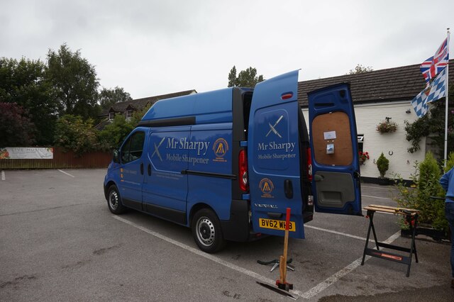
Alkmonton Images

Images are sourced within 2km of 52.943854/-1.723724 or Grid Reference SK1838. Thanks to Geograph Open Source API. All images are credited.

Road sign on Ashbourne Road
Boylestone Road off Ashbourne Road
Alkmonton Old Hall Farm, Alkmonton
Top House Farm, Alkmonton
St John's Church, Alkmonton
War memorial to Bertram Gadsby In St John's Church, Alkmonton
War memorial to Bertram Gadsby
In St John's Church, Alkmonton
Cemetery on Leapley Lane, Yeaveley
Public footpath towards Boothay Farm
Former telephone kiosk on Leapley Lane, Yeaveley
Mr Sharpy A mobile Sharpener in the car park of the Yeaveley Arms, Yeaveley.
Mr Sharpy
A mobile Sharpener in the car park of the Yeaveley Arms, Yeaveley.
Mr Sharpy A mobile sharpener in the car park of the Yeaveley Arms, Yeaveley.
Mr Sharpy
A mobile sharpener in the car park of the Yeaveley Arms, Yeaveley.
Mr Sharpy A mobile sharpener in the car park of the Yeaveley Arms, Yeaveley.
Mr Sharpy
A mobile sharpener in the car park of the Yeaveley Arms, Yeaveley.
Show me another place!

Alkmonton is located at Grid Ref: SK1838 (Lat: 52.943854, Lng: -1.723724)

Administrative County: Derbyshire

District: Derbyshire Dales

Police Authority: Derbyshire

What 3 Words

///truck.tiredness.restrict. Near Mayfield, Staffordshire

Related Wikis

Nearby Amenities

Located within 500m of 52.943854,-1.723724
Alkmonton
Place: village
Wikidata: Q649098
Wikipedia: en:Alkmonton
Lat/Long: 52.9436392/-1.7230337
Post Box
Collection Times: Mo-Fr 09:00; Sa 07:00
Operator: Royal Mail
Operator Wikidata: Q638098
Post Box Type: wall
Ref: DE6 838
Royal Cypher: EVIIR
Royal Cypher Wikidata: Q33102324
Lat/Long: 52.9440511/-1.7239773
Barrier: stile
Steps: 1
Stile: stepover
Lat/Long: 52.9454756/-1.724726
Barrier: stile
Steps: 1
Stile: stepover
Lat/Long: 52.9446224/-1.7239692
Barrier: stile
Steps: 1
Stile: stepover
Lat/Long: 52.944102/-1.7244389
Barrier: stile
Steps: 2
Stile: stepover
Lat/Long: 52.943569/-1.7253153
Barrier: stile
Steps: 2
Stile: stepover
Lat/Long: 52.9431455/-1.7280286
Alkmonton Tractors
Addr City: Ashbourne
Addr Country: GB
Addr Housename: The Smithy
Addr Place: Alkmonton
Addr Postcode: DE6 3DL
Email: alkmonton@btconnect.com
Phone: +44 1335 330460
Shop: tractor
Source Website: Old website redirects to this
Website: https://alkmontontractors.co.uk/
Lat/Long: 52.9441222/-1.7239668
Addr City: Ashbourne
Addr Housename: Rushmere
Addr Housenumber: 7
Addr Postcode: DE6 3DH
Addr Street: Council Houses
Addr Village: Alkmonton
Lat/Long: 52.9430625/-1.7223587
Addr City: Ashbourne
Addr Housename: Sunnycroft
Addr Postcode: DE6 3DH
Addr Street: Council Houses
Addr Village: Alkmonton
Lat/Long: 52.9427936/-1.7223198
Addr City: Ashbourne
Addr Housename: Bunch of Keys
Addr Housenumber: 4
Addr Postcode: DE6 3DH
Addr Street: Council Houses
Addr Village: Alkmonton
Lat/Long: 52.9433464/-1.7225698
Addr City: Ashbourne
Addr Housename: Glen View
Addr Housenumber: 8
Addr Postcode: DE6 3DH
Addr Street: Council Houses
Addr Village: Alkmonton
Source: survey
Lat/Long: 52.9429881/-1.7222941
Addr City: Ashbourne
Addr Housename: Oakmere
Addr Housenumber: 6
Addr Postcode: DE6 3DH
Addr Street: Council Houses
Addr Village: Alkmonton
Lat/Long: 52.943171/-1.7224523
Grit Bin
Lat/Long: 52.9430652/-1.7228737
Addr Housenumber: Horseshoe Cottage
Addr Street: Leapley Lane
Lat/Long: 52.9435732/-1.7234797
Addr City: Ashbourne
Addr Housenumber: 9
Addr Postcode: DE6 3DH
Addr Street: Council Houses
Addr Village: Alkmonton
Lat/Long: 52.9428821/-1.722247
Addr Housenumber: Pear Cottage
Addr Street: Leapley Lane
Lat/Long: 52.9436236/-1.723517
Addr City: Ashbourne
Addr Housename: Little Acorns
Addr Housenumber: 2
Addr Postcode: DE6 3DH
Addr Street: Council Houses
Addr Village: Alkmonton
Lat/Long: 52.9435184/-1.7227587
Addr City: Ashbourne
Addr Housenumber: 5
Addr Postcode: DE6 3DH
Addr Street: Council Houses
Addr Village: Alkmonton
Lat/Long: 52.943241/-1.722478
Addr City: Ashbourne
Addr Housenumber: 1
Addr Postcode: DE6 3DH
Addr Street: Council Houses
Addr Village: Alkmonton
Lat/Long: 52.9435198/-1.7228829
Addr City: Ashbourne
Addr Housenumber: 3
Addr Postcode: DE6 3DH
Addr Street: Council Houses
Addr Village: Alkmonton
Source: survey
Source Postcode: NROSH Open Data
Lat/Long: 52.9434293/-1.7226267
Turning Loop
Lat/Long: 52.9398946/-1.7202979
The data included in this document is from www.openstreetmap.org. The data is made available under ODbL.

Have you been to Alkmonton?

Leave your review of Alkmonton below (or comments, questions and feedback).